Branchville, South Carolina: Two Stories, One Branch
Branchville, South Carolina, has two stories behind its name, and both involve a branch: one from the railroad, the other from a fork in the trails. The old government and guidebook accounts credit the railroad, while the town’s own history says the place was called The Branch before the trains came.
The railroad’s branch
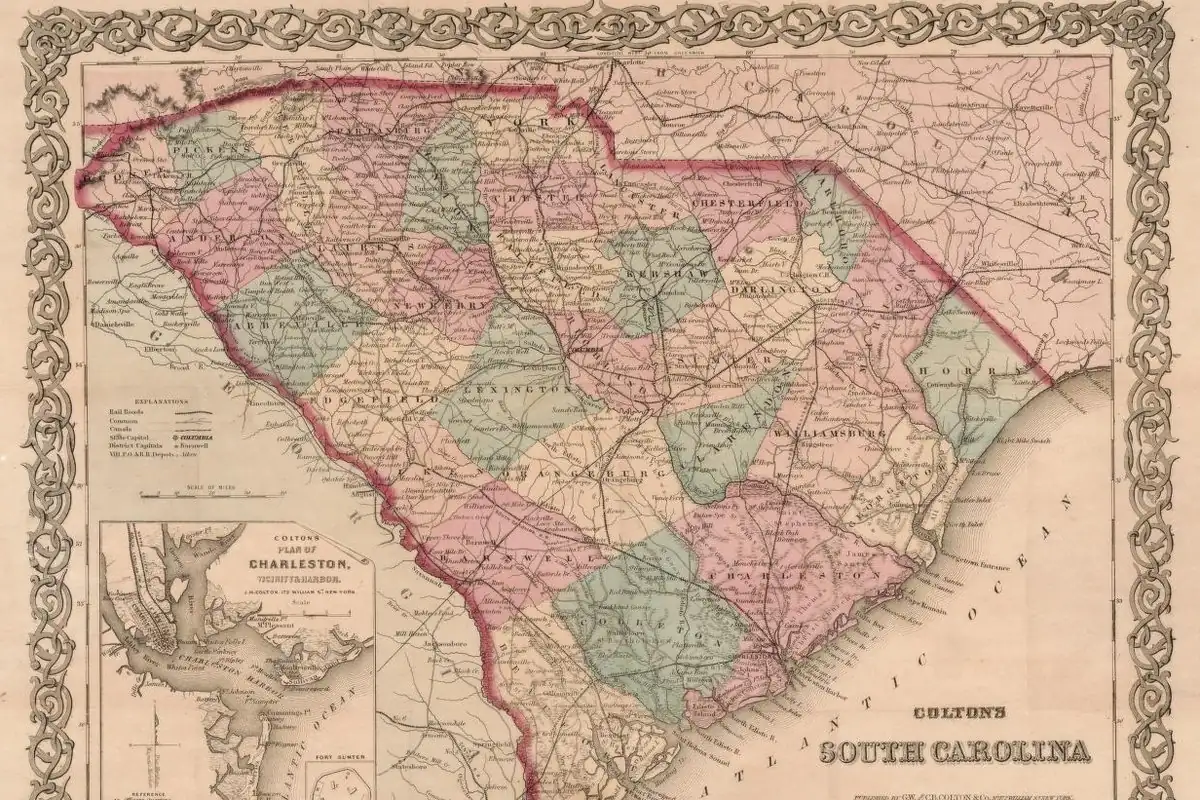
The South Carolina Railroad was built to run from Charleston to Hamburg, “a little town on the Savannah River, just across from Augusta, Georgia,” in the words of the WPA’s 1941 guide to the state. The guide says the 136-mile (219 km) line was finished in 1833, and that “at that time it was the longest passenger-carrying steam railway in the world.” Then, in 1842, “a branch line was completed to Columbia, and the point of junction named Branchville.”
The guide’s entry for the town itself says Branchville “owes its existence and name to the first branch railroad in the State,” begun in 1840. Henry Gannett’s 1905 place-name book for the Geological Survey says much the same thing in fewer words: the town was “named from the forks of the two branches of the South Carolina Railroad.”
The Branch under the old oak
The Town of Branchville tells a different, older story. Its history page reprints a 1961 article from the Orangeburg Times and Democrat that puts the first settlement where trails split at “a venerable old oak tree, now gone.” The oak marked “The Branch,” which is what the community was first called.
When the railroad came through, the article says, it persuaded a Mr. Chatrand, who ran a tavern called “The Branch Eating House,” to move to the depot to feed passengers. He put up the same sign he’d used before. But for railroad purposes that name wasn’t good enough, according to “old accounts,” and so “the ‘ville’ was added to the name of ‘The Branch.’”
So which branch was it?
You don’t have to pick a winner to see where the two stories meet. In both of them, the railroad is the reason the place became Branchville. The question is whether “branch” first meant a rail line heading off to Columbia or a fork in the paths at an old tree. The government geographer and the WPA writers went with the railroad. The town’s version comes from a 1961 newspaper piece that the town’s unofficial historian vouched for, and it doesn’t cite any record from the 1840s.
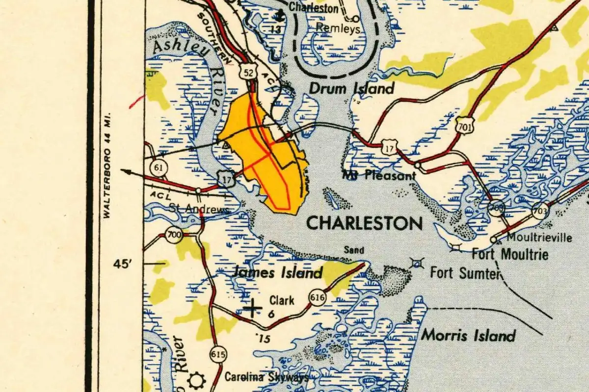
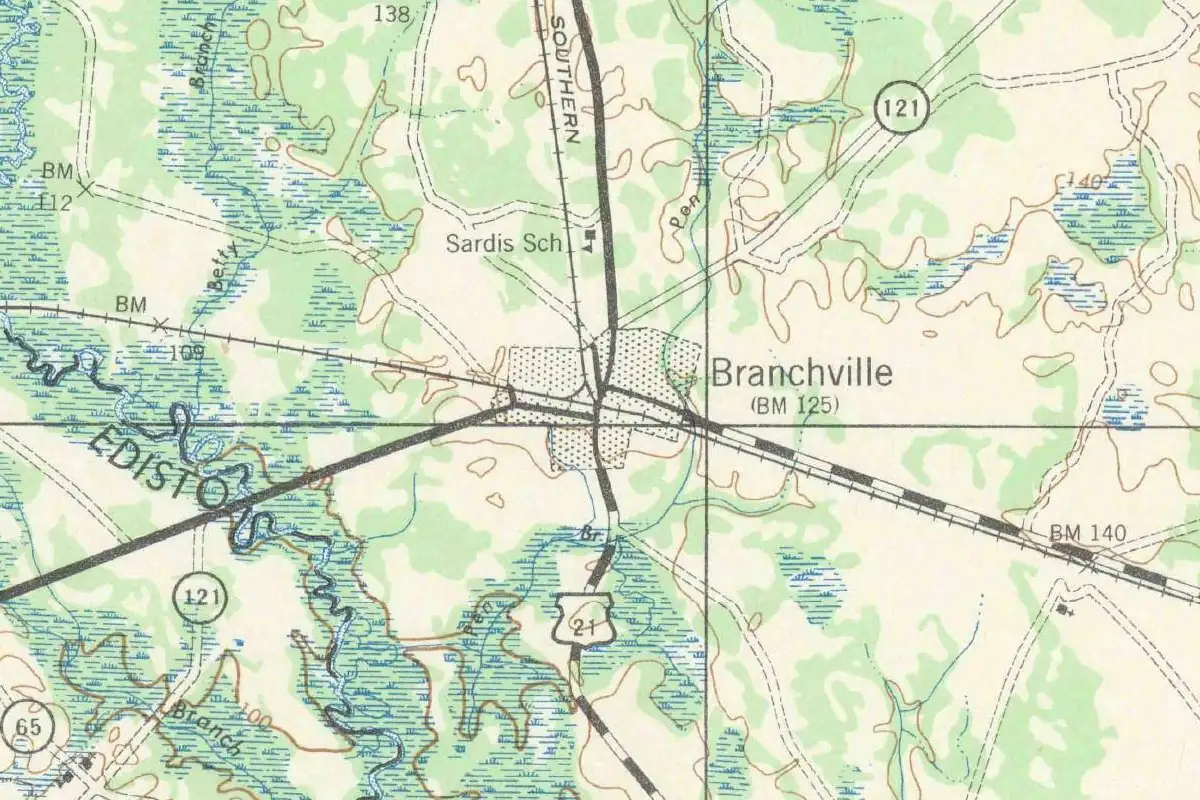
The town also says Branchville became “the first railroad junction in the world.” That’s the town’s claim, and none of the older books goes that far. The town was incorporated on December 23, 1858, and what you can see for yourself is the 1943 topographic sheet above, where railroad lines and highways still come together at Branchville.
Quick answers
Why is it called Branchville?
There are two explanations. The 1905 Gannett bulletin and the 1941 WPA guide tie it to the railroad’s branch line to Columbia, while the town’s history says the place was already called The Branch, for a fork in the trails, and the railroad added “ville.”
What was Branchville called before?
The Branch, according to a 1961 article on the town’s website, after a fork in the trails marked by an old oak.
When did the railroad branch to Columbia open?
In 1842. The 1941 state guide says work began in 1840 and the junction was named Branchville when the line to Columbia was completed.
Key dates
- 1833The railroad from Charleston to Hamburg is completed, 136 miles (219 km) long.
- 1840Work begins on the branch line to Columbia from the future Branchville.
- 1842The Columbia branch is completed, and the junction is named Branchville.
- 1858The Town of Branchville is incorporated on December 23.
Getting there
Open Branchville in Google Maps
Opens in a new tab. The pin is the center of Branchville in the USGS place-name record.
The closest airports, Amtrak stations and intercity bus stops, measured in a straight line from the center of Branchville.
Airports
- Columbia Metro (CAE) 51 mi 81 km
- Charleston AFB/International (CHS) 51 mi 82 km
Amtrak trains
- Denmark station (DNK) 20 mi 32 km
- Yemassee station (YEM) 39 mi 63 km
Intercity buses
- Greyhound Walterboro Augusta Hwy 15 mi 24 km
- FlixBus Orangeburg (Xpress Travel Center) 16 mi 26 km
Distances are as the crow flies, not by road. We don't list schedules or fares because they change; check with the airline, Amtrak or the bus company before you go. Official data (FAA commercial service airports (2025), FAA airport locations, Amtrak stations and Intercity Bus Atlas) from the FAA and the U.S. Bureau of Transportation Statistics, checked Nov 6, 2026.
Sponsored
Staying in Branchville?
Compare hotels in Branchville, South Carolina, on Expedia.
See hotels in BranchvilleWe may earn a commission if you buy through this link. It never changes what we write. Read our affiliate disclosure
Historical Sources & References
- Henry Gannett, The Origin of Certain Place Names in the United States (1905), p. 55. Branchville “named from the forks of the two branches of the South Carolina Railroad.”
- Federal Writers’ Project, South Carolina: A Guide to the Palmetto State (1941), pp. 86-87 and 321. The line from Charleston to Hamburg, finished in 1833; the Columbia branch begun in 1840 and finished in 1842; the junction “named Branchville.”
- Town of Branchville, “History”. The 1961 Times and Democrat article on The Branch, the old oak, Chatrand’s eating house and the added “ville”; the December 23, 1858, incorporation; the town’s “first railroad junction” claim.
- GNIS feature 1220931 (U.S. Geological Survey). The Geological Survey’s place-name entry for Branchville, in Orangeburg County.
Spot something wrong, or know more? Tell us here. You can also email us or use our contact page. Corrections are noted here with their date, never made silently.