Big Sur, California: Half English, Half Spanish
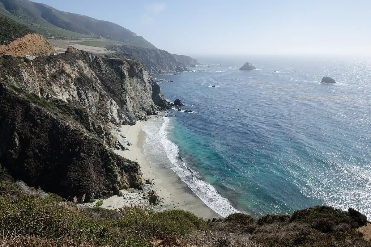
Big Sur, California, is half English and half Spanish: sur means “south,” and a 1918 federal map still called its river just the Sur River. The name goes back to El Sur, “the South,” a Mexican land grant of 1834 on the coast below Monterey, and the “Big” lines up with the river’s old Spanish name, Rio Grande del Sur, the big river of the South.
Who first said “Big Sur” out loud isn’t on record. What you can follow is how the word moved from a ranch to a river to a whole stretch of coast.
A ranch called El Sur
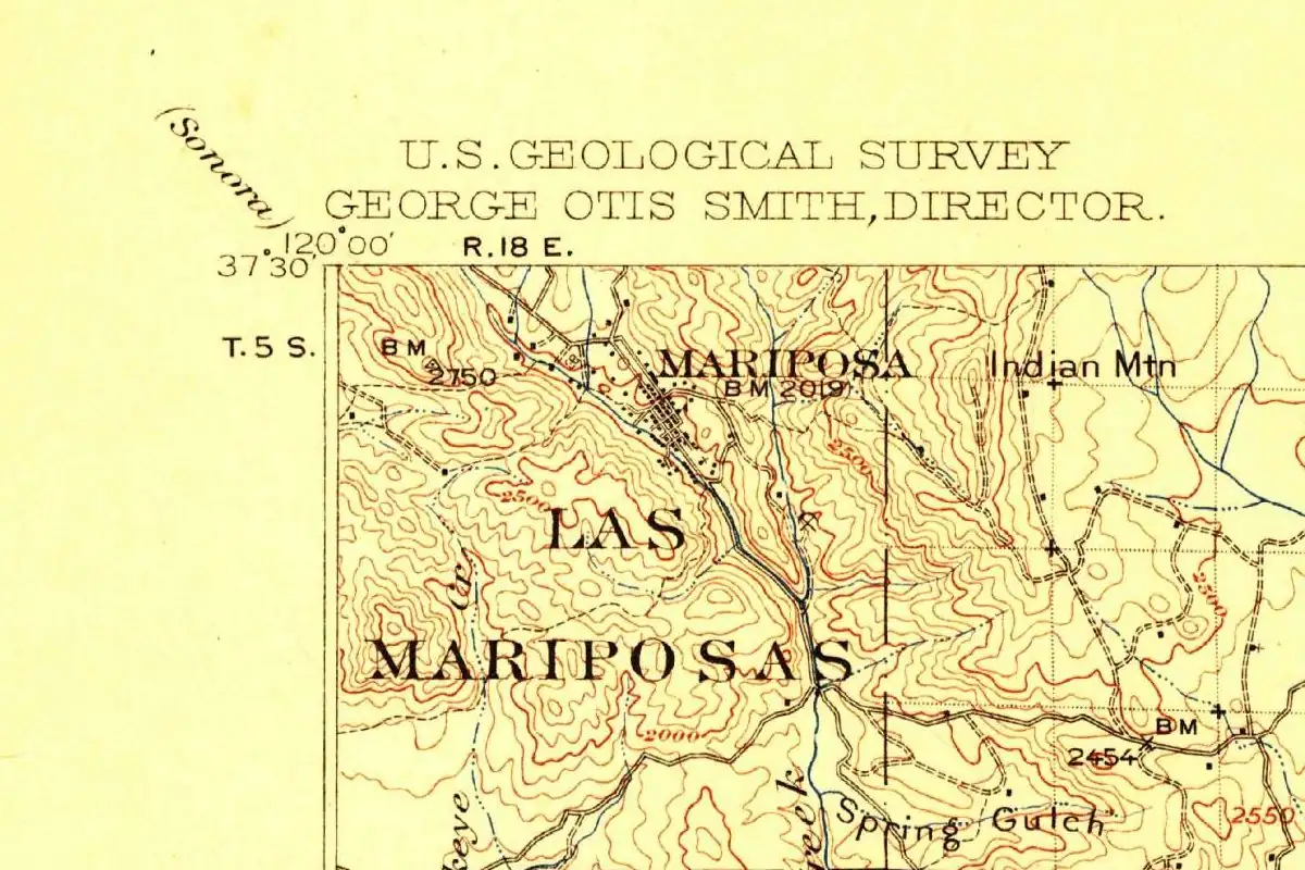
The oldest firm date belongs to a land grant. In 1862, Ogden Hoffman, the federal district judge for Northern California, printed a table of the claims filed with the U.S. land commission. It lists El Sur as two square leagues in Monterey County, “granted September 30th, 1834, by José Figueroa to Juan B. Alvarado.” That came to 8,949.06 acres. Alvarado’s name shows up on another big grant, too: Las Mariposas, the grant that spread across the hills below the town of Mariposa.
The hand-drawn map that went with the El Sur case is in the Bancroft Library at UC Berkeley. Its catalog title calls the land “el parage llamado el Sud,” the spot called the South, with Sud in place of Sur. The library dates that copy only to the 1840s, with a question mark, so it doesn’t settle when people first used the name. It does show the land already had it.
After the United States took California, John B. R. Cooper filed the claim for El Sur in March 1852. The land commission confirmed it that December, the district court followed on September 21, 1855, and an appeal was dismissed in 1857.
The big South and the little South
It helps to know there was a little one, too. On April 16, 1839, Alvarado granted a second ranch, San José y Sur Chiquito, to Marcelino Escobar. Nellie Van de Grift Sanchez translated that name in her 1922 book on California’s Spanish place names as “St. Joseph and little south.”
The little South sat closer to Monterey. A 1986 Monterey County coastal plan puts San José y Sur Chiquito between the Carmel River and Palo Colorado Canyon, and El Sur farther down the coast, between the Little Sur River and Cooper Point. On paper, the two grants were about the same size, two square leagues each.
The rivers carry the same pair. The U.S. Geological Survey’s place-names database lists Rio Grande del Sur and El Rio Grande de Sur as old names of the Big Sur River, and El Rio Chiquito del Sur for the Little Sur River. In English, that’s a big river and a little river of the South, a pair that matches today’s Big Sur and Little Sur. Nobody on record says that’s where the English “Big” came from, but the two pairs line up. You’ll also see it said that Spanish speakers called this coast el país grande del sur, “the big country of the south.” It’s a nice phrase, but none of the older records in this story use it.
“The Sur” on charts and in county books
In the 1880s, English-language books and charts just said Sur. The federal Coast Pilot of 1889, the sailing guide George Davidson wrote for the U.S. Coast and Geodetic Survey, calls the headland “the Sur” over and over. It describes “the Sur River” as “a small mountain stream” with a fair summer anchorage off its mouth, where “some tan bark is shipped” and “occasionally an otter-hunting schooner anchors.”
Monterey County’s 1881 history agrees. “The Sur river enters the ocean a little south of the point,” it says, past “dairy ranches, and some pretty but very narrow valleys.” Henry Gannett’s 1905 federal list of place names gives Point Sur as “From the Spanish meaning ‘south point.’” Sanchez says the same thing in fewer words: “Sur (south).”
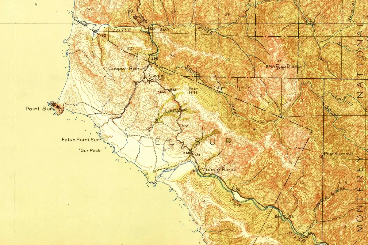
Even the oldest Geological Survey topographic map of the area, the Point Sur sheet of 1918, prints Sur River, Little Sur River and, in big spaced letters across the hills, EL SUR. You can see it on the old map at the bottom of this page.
Post’s, Arbolado and a post office called Sur
By 1913, at least one traveler was writing “Big Sur.” J. Smeaton Chase rode the whole California coast on horseback and, in his 1913 book California Coast Trails, dropped “into the valley of the Big Sur River.” There he found a tiny post office. The place had “long been known as ‘Post’s,’ after an early settler,” he wrote, but somebody had gotten it renamed “Arbolado,” which he called “a monstrosity of mongrel Spanish.”
Farther on, after crossing the Little Sur, he came to “a post-office named Sur” at Mill Creek. It wasn’t much to look at. The mailboxes and the sign had “gone out to sea together during the winter rains.”
Chase cared how the Spanish names sounded, and his glossary at the back of the book gives “Sur: soor.” His spellings followed Mexican, not Castilian, usage, and he said they agreed “with common California custom.”
Official in 1959
The federal government took its time. The U.S. Board on Geographic Names made Big Sur River the official name of the stream in 1959, and the national database still keeps Sur River as a variant. The river runs about 15 miles (24 km) from the meeting of its north and south forks to the Pacific, reaching the ocean about 2.8 miles (4.5 km) southeast of Point Sur.
The coast as a whole has no entry of its own in that database. Big Sur the place is a populated place in Monterey County, with Arbolado still listed as one of its old names. So on paper, the federal government knows Big Sur as a river and a village, not as a coast. Out here on the California coast, the South picked up a “Big” in English and kept its Spanish for the rest.
Quick answers
What does “Sur” mean in Big Sur?
South. Gannett’s 1905 federal list gives Point Sur as Spanish for “south point,” and Sanchez’s 1922 book translates sur as “south.”
Is there a Little Sur?
Yes. The Little Sur River reaches the Pacific north of Point Sur, and an 1839 Mexican grant nearby was called San José y Sur Chiquito, “St. Joseph and little south.”
Was Big Sur always called Big Sur?
No. The 1834 land grant was El Sur, the 1889 Coast Pilot called the headland “the Sur,” and the 1918 USGS map labeled the stream Sur River. “Big Sur River” shows up in a 1913 travel book and became the official federal name in 1959.
Does Big Sur mean “the big country of the south”?
Not in the older records. The phrase gets repeated, but none of the older sources in this story use it. They back Sur as “south,” and the federal place-names database lists Rio Grande del Sur, the big river of the South, as an old name for the Big Sur River.
Key dates
- 1834September 30: José Figueroa grants El Sur, two square leagues on the coast, to Juan B. Alvarado.
- 1839April 16: Alvarado grants San José y Sur Chiquito, "little south," to Marcelino Escobar.
- 1855September 21: the U.S. District Court confirms El Sur to John B. R. Cooper's claim.
- 1889The federal Coast Pilot calls Point Sur simply "the Sur" and lists the Sur River.
- 1913J. Smeaton Chase rides into "the valley of the Big Sur River" and finds a post office called Arbolado.
- 1918The USGS Point Sur map still labels the stream Sur River.
- 1959The U.S. Board on Geographic Names makes Big Sur River the official name.
Historical Sources & References
- GNIS feature 269851, Big Sur River (U.S. Geological Survey). Official name by Board decision of 1959; description (15 miles long, mouth 2.8 miles southeast of Point Sur); variants Sur River, Rio Grande del Sur and El Rio Grande de Sur. The companion records list El Rio Chiquito del Sur for the Little Sur River, Rancho El Sur for El Sur, and Arbolado for the populated place Big Sur.
- Ogden Hoffman, Reports of Land Cases (1862). El Sur, granted September 30, 1834, by Figueroa to Juan B. Alvarado; Cooper’s claim and its confirmation; 8,949.06 acres (appendix, p. 18). San José y Sur Chiquito, granted April 16, 1839, by Alvarado to Marcelino Escobar (appendix, p. 75).
- Diseño del parage llamado el Sud y solicitado por Juan Bauta. Alvarado, Bancroft Library, via Calisphere. The catalog record of the hand-drawn map from the El Sur land case, dated “184-?”.
- Nellie Van de Grift Sanchez, Spanish and Indian Place Names of California (1922). “Sur (south)” and Point Sur, “on the coast south of Monterey” (p. 162); San José y Sur Chiquito, “St. Joseph and little south” (p. 430).
- Henry Gannett, The Origin of Certain Place Names in the United States (1905). Point Sur, “From the Spanish meaning ‘south point’” (p. 249).
- George Davidson, Coast Pilot of California, Oregon, and Washington (1889). “The Sur” for the headland, the Sur River, the tan bark and the otter-hunting schooners (pp. 133-134).
- History of Monterey County, California (Elliott & Moore, 1881). “The Sur river enters the ocean a little south of the point” (p. 81); the road “via Monterey and the Sur rancho” (p. 108).
- J. Smeaton Chase, California Coast Trails (1913). “The valley of the Big Sur River,” Post’s renamed Arbolado, the Little Sur and the post office named Sur at Mill Creek (pp. 207-212); “Sur: soor” in the pronouncing glossary, which follows “common California custom.”
- U.S. Geological Survey, Point Sur sheet (1918). The map at the bottom of this page, with Sur River, Little Sur River and El Sur.
- Monterey County, Big Sur Coast Land Use Plan (1986). The bounds of Rancho El Sur (Little Sur River to Cooper Point) and Rancho San José y Sur Chiquito (Carmel River to Palo Colorado Canyon).
Spot something wrong, or know more? Tell us here. You can also email us or use our contact page. Corrections are noted here with their date, never made silently.