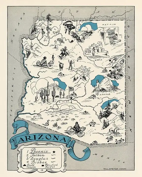
Williams, Arizona: The Mountain Man Behind the Name
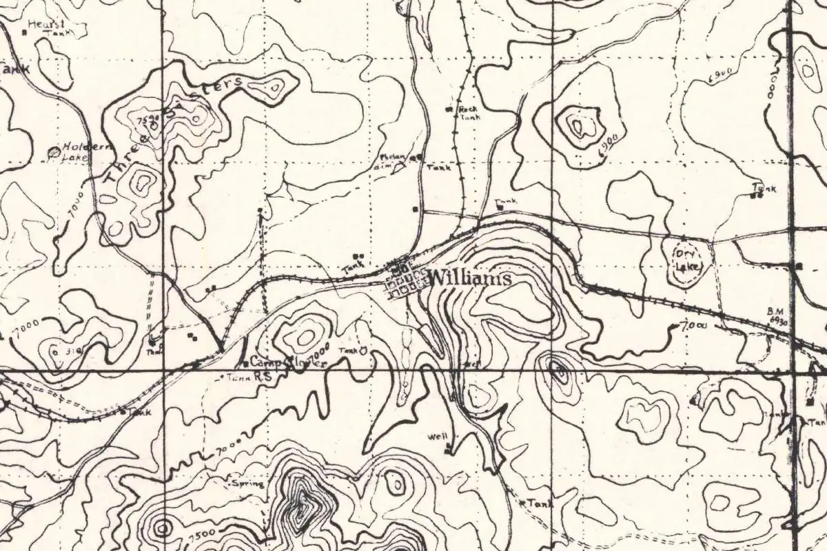
Williams, Arizona, takes its name from Bill Williams Mountain, the peak it sits under, and the peak is named for an old trapper and guide. And the explorer he once guided put a complaint about him in writing.
Named for the mountain
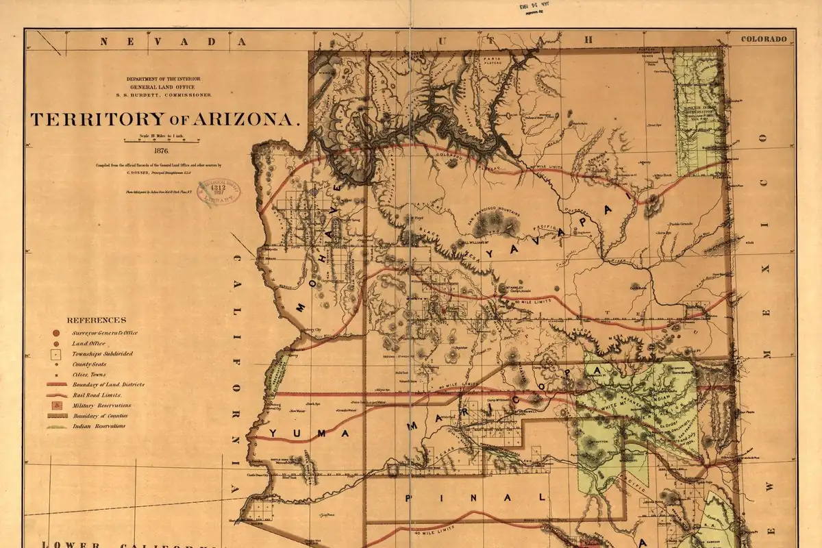
James H. McClintock’s history of Arizona, published in 1916, doesn’t waste words: “Williams gets its name very naturally from its location at the base of Bill Williams Mountain.” The first settlers, by his account, were Sam Ball and John Denton, who came in the summer of 1876 and sold their claim to C. P. Rogers. In 1882, a storekeeper named H. H. Scorse ran a branch store “at the Rogers ranch, on the site of Williams.” The railroad arrived on September 3, 1882.
The mountain’s name is older. Henry Gannett’s 1905 study of the origins of American place names says the Williams river and mountain in Arizona were “named for one of the guides of the Fremont expedition.” Will C. Barnes’s Arizona Place Names (1935) calls him “Bill Williams, famous scout, guide, and hunter.”
The guide Frémont blamed
That expedition went badly. On his fourth expedition, John C. Frémont tried to cross the high passes of the Rockies in the dead of winter, McClintock writes, “despite the warnings of western hunters.” When it fell apart, he blamed his guide. McClintock quotes a letter Frémont wrote to his wife on January 27, 1849:
“I had engaged as a guide an old trapper well known as Bill Williams, and who had spent twenty-five years of his life in trapping various parts of the Rocky Mountains. The error of the journey was committed in engaging this man.”
McClintock wasn’t buying it. Frémont “laid the blame elsewhere than on himself,” he writes, and he identifies the guide as “the same Bill Williams whose name is borne by a mountain and by a river in northern and western Arizona, wherein he had trapped for years.” He adds that the Utes called Williams “Lone Elk.” So the man Frémont blamed ended up with a mountain, a river and a railroad town.
Gateway to the Grand Canyon
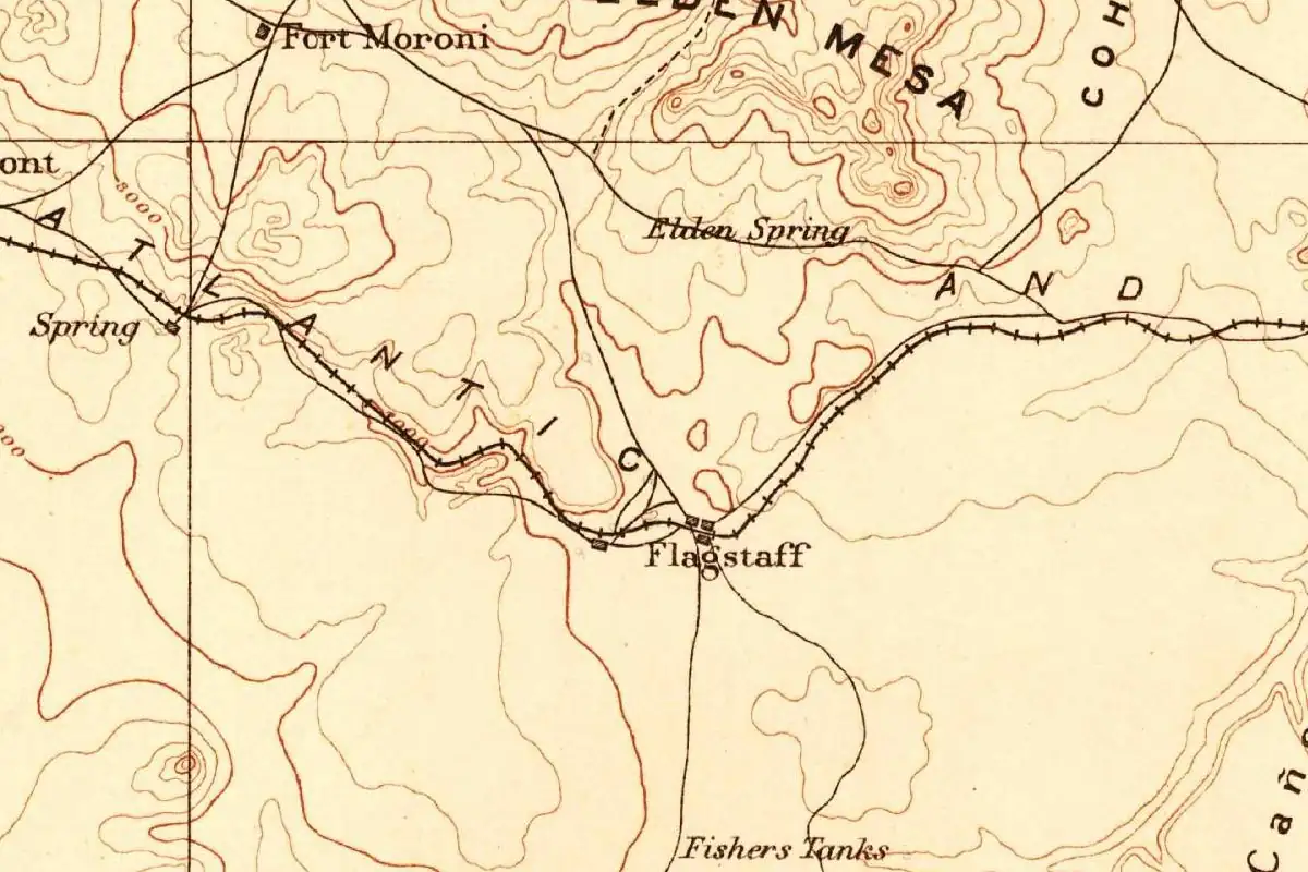
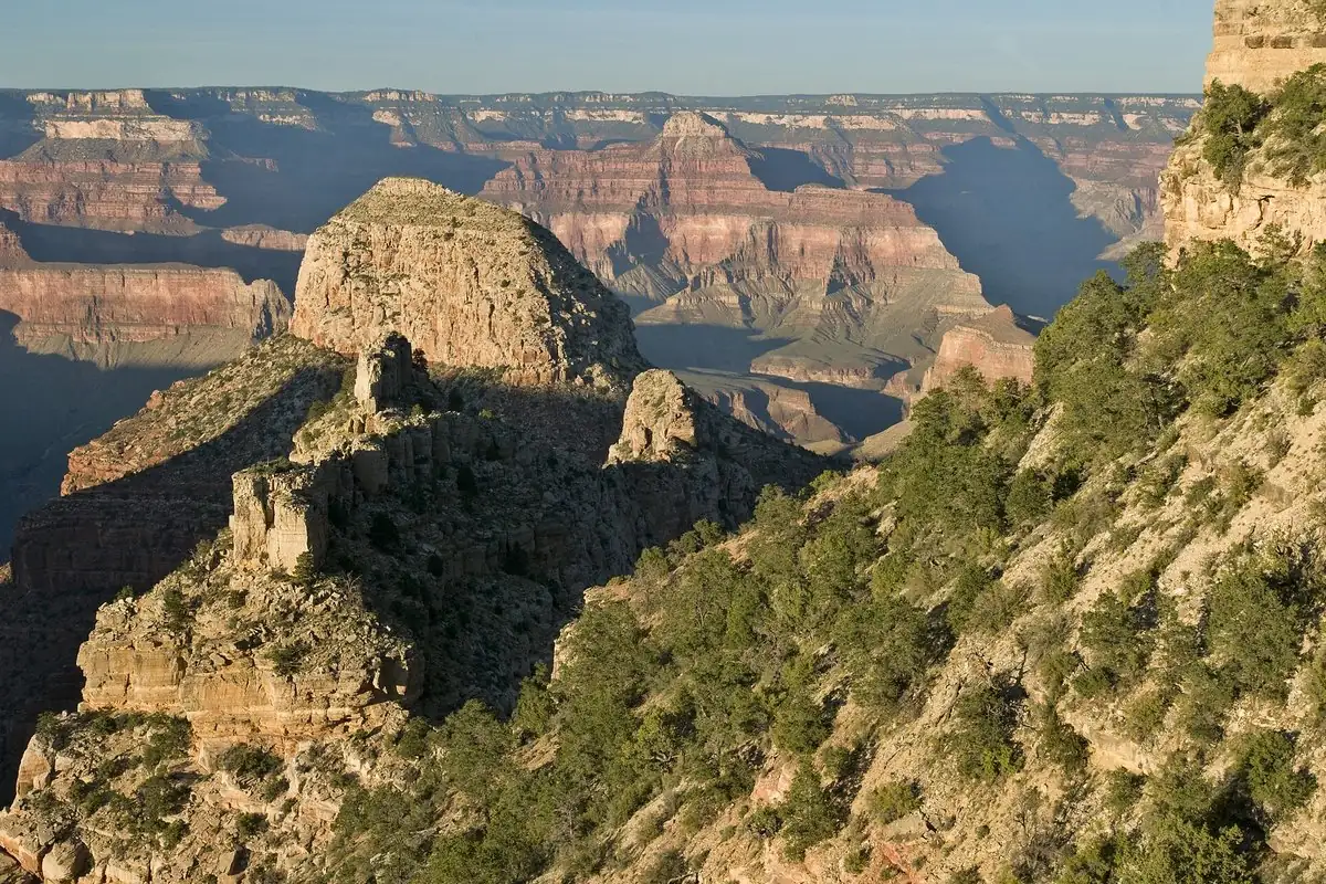
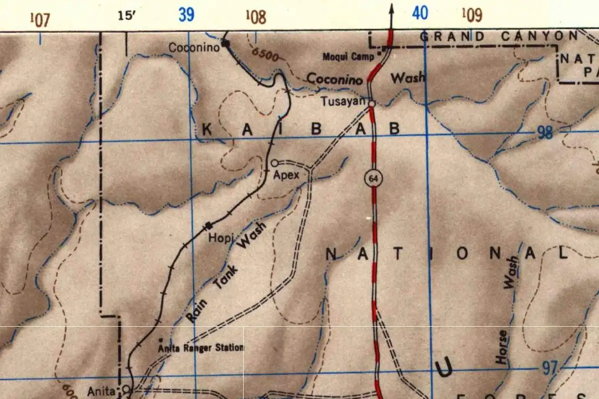
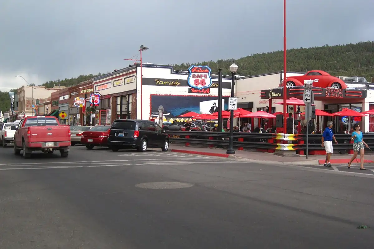
Williams grew up on the railroad. By 1916, McClintock calls it “an important lumbering and stock raising center” and “the gateway to the Grand Canon.” Barnes lists it in 1935 as an “Important railroad, lumbering and live-stock town” on the Santa Fe, at an elevation of 6,748 feet (2,057 m). If you’re headed to the Grand Canyon from here, you’ll pass through Tusayan, just outside the park. Flagstaff is the next big railroad town to the east.
Quick answers
Who is Williams, Arizona, named after?
Indirectly, the trapper and guide Bill Williams. The town takes its name from Bill Williams Mountain, which McClintock says is named for him.
Who was Bill Williams?
An old trapper who, by Frémont’s own letter, had spent 25 years trapping in the Rocky Mountains. He guided Frémont’s failed winter crossing of the Rockies, which Frémont blamed on him in a letter of January 1849, and the Utes called him “Lone Elk.”
When did the railroad reach Williams?
On September 3, 1882, according to McClintock. The first settlers had come in 1876.
Key dates
- 1849January 27: Frémont writes to his wife blaming his guide, Bill Williams, for the disaster of his winter expedition.
- 1876Summer: Sam Ball and John Denton, the first settlers, arrive and later sell their claim to C. P. Rogers.
- 1882September 3: the railroad reaches Williams.
Getting there
Open Williams in Google Maps
Opens in a new tab. The pin is the center of Williams in the USGS place-name record.
The closest airports, Amtrak stations and intercity bus stops, measured in a straight line from the center of Williams.
Airports
- Flagstaff Pulliam (FLG) - Flagstaff 30 mi 49 km
- Prescott Regional/Ernest A Love Field (PRC) 43 mi 69 km
- Phoenix Sky Harbor International (PHX) 126 mi 203 km
Amtrak trains
- Flagstaff station (FLG) 31 mi 50 km
- Winslow station (WLO) 86 mi 138 km
Intercity buses
- Route 66 Express Amtrak Connecting Service · Williams under 1 mi 0.7 km
- Greyhound Williams Williams Love' under 1 mi 2 km
- FlixBus Flagstaff Train Station 31 mi 49 km
Distances are as the crow flies, not by road. We don't list schedules or fares because they change; check with the airline, Amtrak or the bus company before you go. Official data (FAA commercial service airports (2025), FAA airport locations, Amtrak stations and Intercity Bus Atlas) from the FAA and the U.S. Bureau of Transportation Statistics, checked Nov 6, 2026.
Sponsored
Staying in Williams?
Compare hotels in Williams, Arizona, on Expedia.
See hotels in WilliamsWe may earn a commission if you buy through this link. It never changes what we write. Read our affiliate disclosure
Historical Sources & References
- James H. McClintock, Arizona, vol. 1 (1916), p. 86. A passage from Frémont’s 1849 letter to his wife about Bill Williams, and McClintock’s note that the same Bill Williams gave his name to a mountain and a river in Arizona.
- McClintock, Arizona, vol. 2 (1916), pp. 555 and 558. “Williams gets its name very naturally from its location at the base of Bill Williams Mountain,” the first settlers of 1876, the railroad of September 3, 1882, and Scorse’s store at the Rogers ranch.
- Henry Gannett, The Origin of Certain Place Names in the United States (1905). The Williams river and mountain, “named for one of the guides of the Fremont expedition.”
- Will C. Barnes, Arizona Place Names (1935). Bill Williams as a “famous scout, guide, and hunter,” and Williams as a railroad, lumbering and livestock town at 6,748 feet. Read as short search excerpts.
- GNIS feature 36208 (U.S. Geological Survey). Where the Geological Survey lists Williams, in Coconino County.
Spot something wrong, or know more? Tell us here. You can also email us or use our contact page. Corrections are noted here with their date, never made silently.