Missouri Valley, Iowa: A Junction Name Cut Down to Size
Missouri Valley, Iowa, was first Missouri Valley Junction, for the river valley and the two railroad lines meeting there, until the last word was dropped. Stennett says it went “for brevity.” Before that, the place went by two other names that had nothing to do with railroads.
McIntosh’s Point
The first name came from a family. Charles W. Hunt’s History of Harrison County, Iowa (1915) says Moses B. McIntosh came in 1856 and took up a half section of land “at what was named ‘McIntosh’s Point.’” An old trail along the bluffs crossed the Boyer River, Hunt writes, “at a point where Missouri Valley is now situated, then known as McIntosh’s Point.” The U.S. Geological Survey’s record for the town says the name honored “the McIntosh brothers.”
Hunt isn’t consistent about which McIntosh it was. One page later he lists “Addison L. McIntosh (for whom McIntosh’s Point was named), who came with his parents in 1856.” So the point is tied to Moses’s land, credited by name to Addison and, by the Geological Survey, to the brothers together. Which one you credit depends on which page you read.
St. Johns, old and new
Then came St. Johns. Hunt says a town company platted the village of St. Johns in July 1857, “just under the high bluffs, to the south of Missouri Valley a mile or two,” or 1.6 to 3 km. It got a post office and some stores. Then the railroad picked another spot. Hunt says that if it hadn’t been for “the route taken by the first railroad through this part of the county, and the locating of a station at Missouri Valley,” St. Johns “would be on the maps of today in big letters.” By 1915 the old site was farmland, remembered as “Old St. Johns.” Merchants moved their stock to Missouri Valley in 1867 and 1868, and the St. Johns post office closed in 1871.
For a time the new town borrowed the old name. Hunt says Missouri Valley was “once known as ‘McIntosh’s Point’ and as ‘New St. Johns,’ but platted as Missouri Valley.” William H. Stennett, who wrote the place-name history of the Chicago & North Western in 1908, also says “the original name was St. Johns,” though he puts the first St. Johns “four miles distant from the present town,” about 6 km. Hunt’s “a mile or two” is a lot closer. We report both, so you can weigh them.
The junction
Stennett explains the name that stuck: “When the railroad was built up the valley of the Missouri River, the name was changed to Missouri Valley Junction, as that place was to be the junction of two lines of railway. Its name was for brevity changed to the present form.”
The man behind the plat was John I. Blair, whom Hunt calls “that noted railroad king.” He platted Missouri Valley on January 28, 1867. George Weare, a railroad employee, bought the first lot. The first building on the plat belonged to John C. Henry, and Hunt, writing after the city had closed such places, notes that it was a beer saloon. Blair’s name is on a town across the Missouri River, too: Blair, Nebraska.
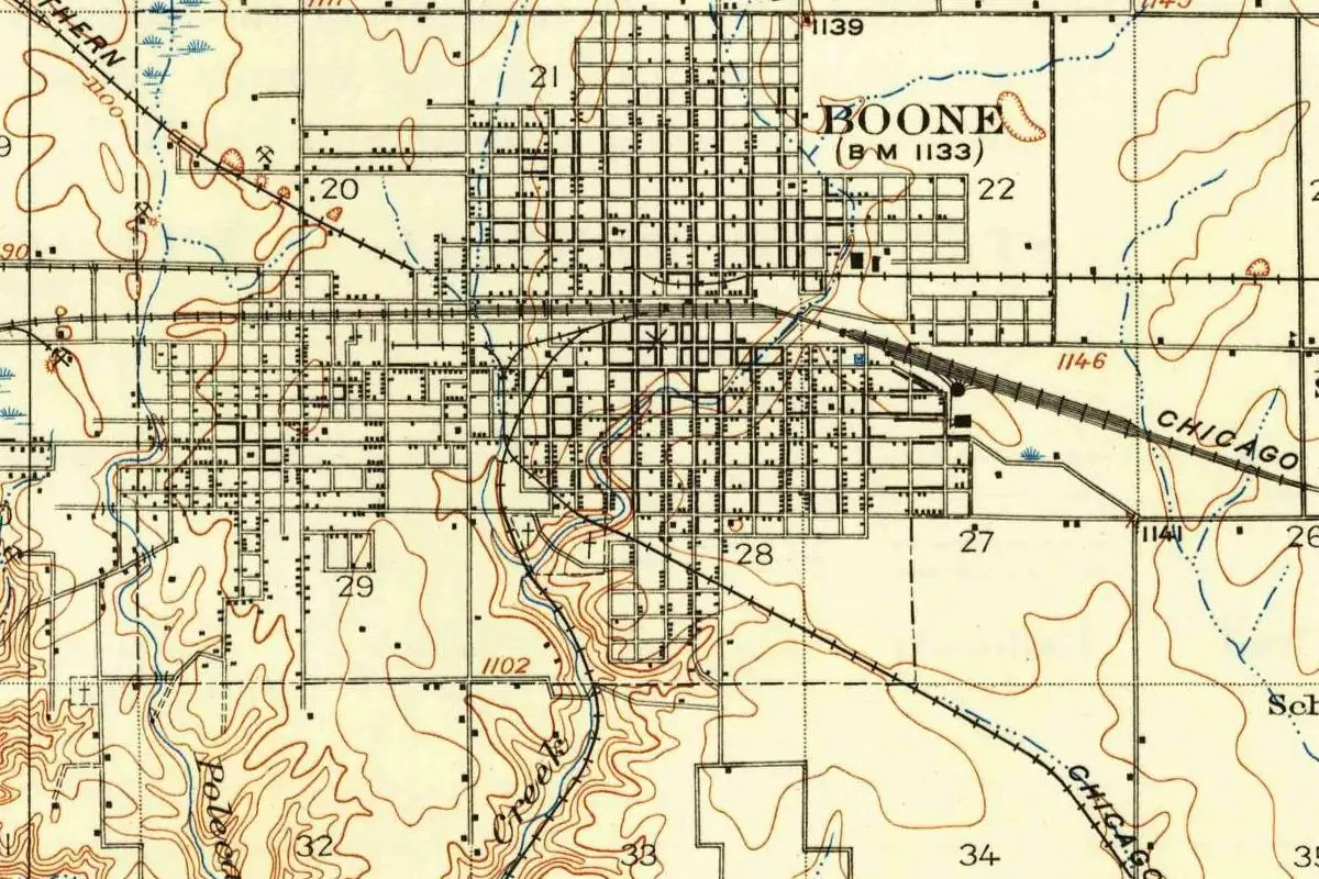
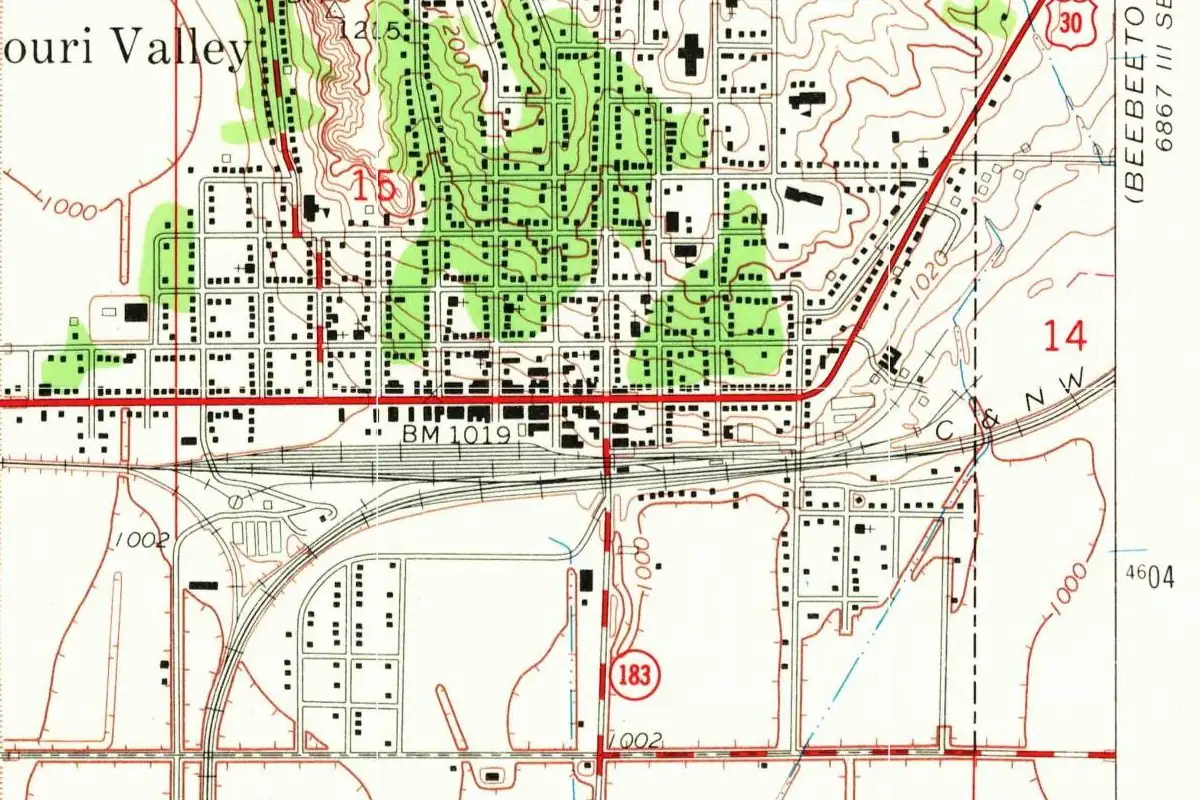
The junction did its job. By 1915 Hunt could call Missouri Valley “the greatest western Iowa railroad center, aside from Council Bluffs.” On the 1970 map, the yard tracks of the Chicago and North Western still run the length of the town.
Quick answers
Why is it called Missouri Valley?
Because the railroad that came up the valley of the Missouri River named the station Missouri Valley Junction, where two lines were to meet. The word “Junction” was later dropped “for brevity” (Stennett, 1908).
What was Missouri Valley called before?
McIntosh’s Point, after the McIntosh family who settled there in 1856, and New St. Johns, after the older village of St. Johns nearby (Hunt, 1915).
Who platted Missouri Valley?
John I. Blair, on January 28, 1867, according to Hunt’s History of Harrison County (1915).
Key dates
- 1856The McIntosh family arrives, and the spot becomes known as McIntosh's Point.
- 1857The village of St. Johns is platted in July under the bluffs a short way south.
- 1867January 28: John I. Blair plats Missouri Valley for the coming railroad.
- 1871The St. Johns post office is discontinued.
Getting there
Open Missouri Valley in Google Maps
Opens in a new tab. The pin is the center of Missouri Valley in the USGS place-name record.
The closest airports, Amtrak stations and intercity bus stops, measured in a straight line from the center of Missouri Valley.
Airports
- Eppley Airfield (OMA) Omaha 17 mi 28 km
- Sioux Gateway/Brig General Bud Day Field (SUX) Sioux City 64 mi 103 km
Amtrak trains
- Omaha station (OMA) 21 mi 34 km
- Lincoln station (LNK) 67 mi 107 km
Intercity buses
- Express Arrow Omaha - Eppley Airfield 18 mi 29 km
- Greyhound Omaha Burlington Trailways 21 mi 34 km
- Jefferson Lines Omaha 21 mi 34 km
Distances are as the crow flies, not by road. We don't list schedules or fares because they change; check with the airline, Amtrak or the bus company before you go. Official data (FAA commercial service airports (2025), FAA airport locations, Amtrak stations and Intercity Bus Atlas) from the FAA and the U.S. Bureau of Transportation Statistics, checked Nov 6, 2026.
Sponsored
Staying in Missouri Valley?
Compare hotels in Missouri Valley, Iowa, on Expedia.
See hotels in Missouri ValleyWe may earn a commission if you buy through this link. It never changes what we write. Read our affiliate disclosure
Historical Sources & References
- William H. Stennett, A History of the Origin of the Place Names Connected with the Chicago & North Western… (1908), entry “Missouri Valley”. The original name St. Johns, the old town four miles (6 km) away, Missouri Valley Junction for the meeting of two lines, the shortening “for brevity” and the town laid out in 1867.
- Charles W. Hunt, History of Harrison County, Iowa (1915). The trail through McIntosh’s Point (p. 63), Moses B. McIntosh and the name (p. 357), Addison L. McIntosh (p. 358), the village of St. Johns (p. 359), the post office closed in 1871 and “New St. Johns” (p. 360), and Blair’s plat of January 28, 1867, Weare’s lot and Henry’s saloon (p. 361).
- GNIS feature 459150 (U.S. Geological Survey). The government’s names file for Missouri Valley, with its coordinates and a history note on McIntosh Point, St. Johns and “Missouri valley Junction.”
Spot something wrong, or know more? Tell us here. You can also email us or use our contact page. Corrections are noted here with their date, never made silently.