Why Is It Called South Lake Tahoe? A Name Picked by Vote
South Lake Tahoe was named by its own voters. In the incorporation election of November 9, 1965, City of South Lake Tahoe beat City of Lake Tahoe, 1,290 to 1,172, the city says. County supervisors had put both names on the ballot and filed away a suggestion from the head of the Al Tahoe post office, Bijou-Tahoe.
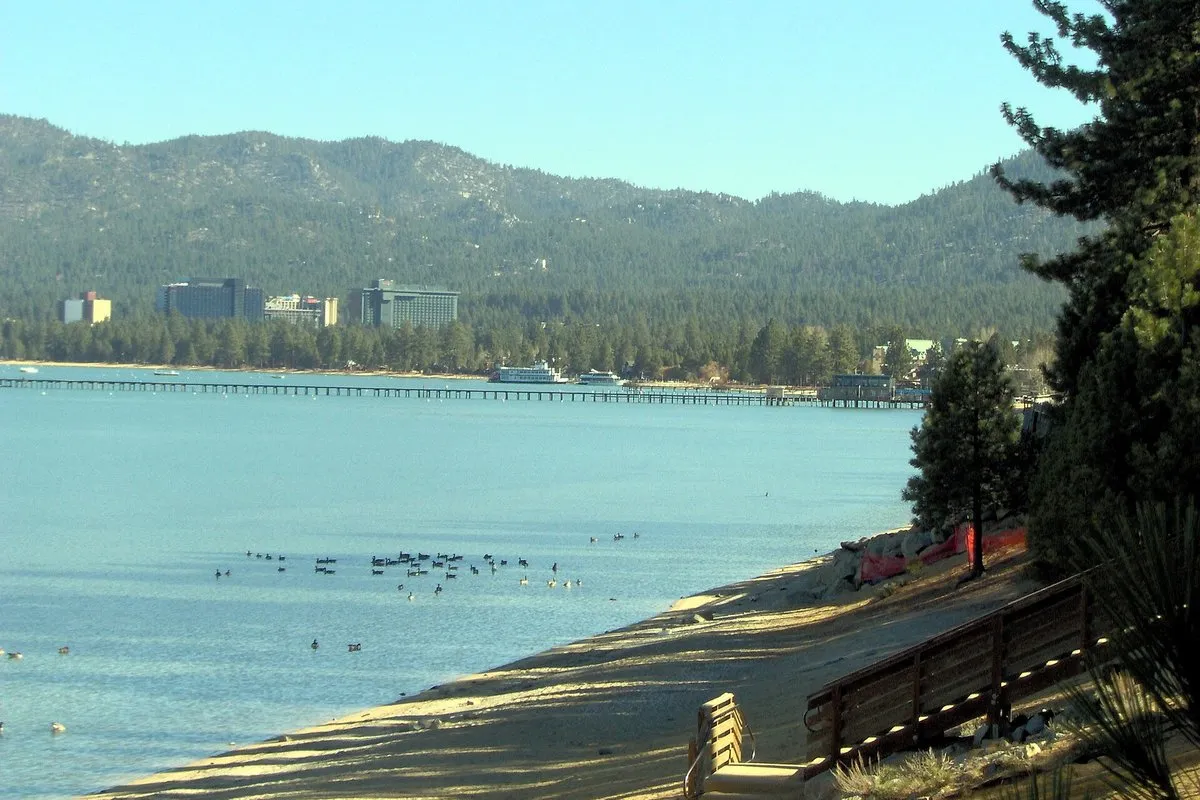
South Lake Tahoe, California, got its name at the polls in November 1965, when voters chose it over City of Lake Tahoe by 1,290 votes to 1,172. The margin between the two names was 118 votes.
Why is it called South Lake Tahoe, California?
The answer is an election. On November 9, 1965, people living along the California end of the lake’s south shore voted on two questions: whether to form a city, and what to call it. According to a 2012 anniversary notice from the City of South Lake Tahoe, “City of South Lake Tahoe” won 1,290 votes and “City of Lake Tahoe” won 1,172, a margin of 118.
Those two choices came from El Dorado County. The minutes of the county Board of Supervisors for August 30, 1965, describe a hearing on the proposed incorporation “of a city at South Lake Tahoe,” so the phrase was already in use for the area. During that meeting, supervisors Walker and Worrell moved that the second name on the ballot be “City of Lake Tahoe,” and the board carried it.
A third name almost made the ballot. The same minutes record a letter from Stanton Meyer, whom they call the superintendent of the Al Tahoe post office. He suggested that the new city be called “Bijou-Tahoe” and asked that the voters get to weigh it. The board voted to place his letter on file, which meant it went no further. So Bijou-Tahoe was a proposal, never a name the city held.
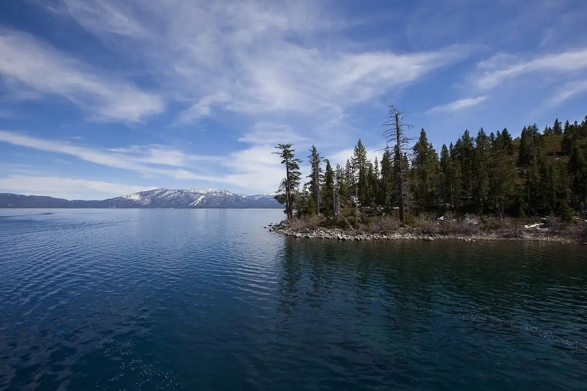
As for the word Tahoe itself, that belongs to the lake, which carried the official name Lake Bigler for decades. That story is told in our article on Lake Tahoe.
South Lake Tahoe history
Before 1965, there wasn’t one town here but a string of them. A 2015 Lake Tahoe News retrospective by Kathryn Reed lists the neighborhoods the new city brought together: Al Tahoe, Bijou, Bijou Park, Stateline, Tahoe Valley and Tallac Village. Of those, Bijou is already lettered on the shore of an 1891 government survey sheet.
All of that land had belonged to El Dorado County, which the city says was formed in February 1850, and the county had run its services. Talk of a city went back several years. City records mention a feasibility report in July 1960 and another in October 1965. Residents circulated a petition, and it collected signatures from a quarter of the people inside the proposed limits. The county minutes put the population at around 4,500 and note that the Heavenly Valley area was cut out of the boundaries. The board’s Resolution 220-65 set the election.
On November 9, 2,011 voters said yes out of 2,624 ballots cast, according to the city’s count, so about three of every four ballots favored a city, a far wider margin than the name got. Reed gives the no vote as 614 and the turnout as 65 percent, and calls the new government California’s 398th city. Nineteen people ran for the first city council. Brad Murphy became the first mayor, joined by Norm Woods, Donald Clark, Eugene Marshall and Gerry Martin. Incorporation became official on November 30, 1965.
Why bother? When the city marked its 47th birthday in 2012, Mayor Claire Fortier put it simply: the city had been formed to provide snow removal, police and fire service.
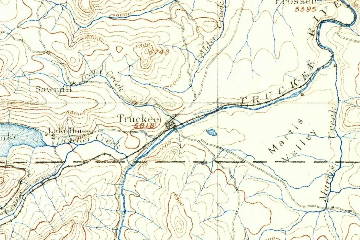
A vote on a name wasn’t unique to the lake. A year earlier, five beach towns on the Oregon coast about to merge held a contest of their own, and newspaper ballots favored Lincoln City over Surfland. Other towns in the region took their names from older landmarks. North of the lake, Truckee is called after the Truckee River, and Reno, Nevada, was Lake’s Crossing, at a toll bridge over that river, before it became Reno.
The city’s first naming decisions didn’t stop with itself. On April 18, 1967, the council voted that Lakeshore Park Beach would henceforth be the Thomas F. Regan Memorial Beach. Its resolution lists Regan’s posts: president of the Lake Tahoe Area Council and of the trustees of Barton Memorial Hospital, a member of the county grand jury and planning commission, and a member of the South Tahoe Rooster Club. Today it’s simply Regan Beach, the oldest beach park the city runs.
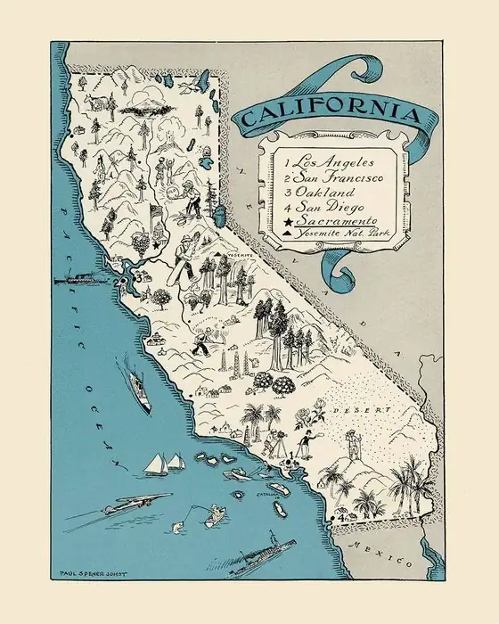
South Lake Tahoe sits in California’s El Dorado County, against the Nevada state line.
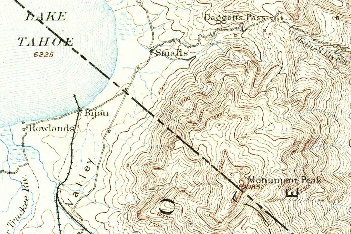
South Lake Tahoe on the 1891 map
Our map is cropped from the Markleeville sheet, California-Nevada, a 1:125,000 U.S. Geological Survey map. The margin lists J. W. Powell as director and A. H. Thompson as geographer, puts E. M. Douglas in charge of the topography, credits the triangulation to H. E. C. Feusier and the topography to R. H. Chapman, and reads “Surveyed in 1889” and “Edition of Nov. 1891.”
The city’s name isn’t on it, since it didn’t exist yet. What is there is the south end of the lake, marked LAKE TAHOE with its surface elevation of 6,225 feet (1,897 m), and three small places on the shore: Bijou, Rowlands and Smalls. Below them the word Valley runs along a railroad line, with part of the Upper Truckee River to the left. To the east, Daggetts Pass and Monument Peak rise out of tight brown contour lines, and a dashed boundary line crosses the sheet on a diagonal from the water. The railroad heading south from Bijou carries no name on this part of the sheet.
Quick answers
When did South Lake Tahoe, California, become a city?
On November 30, 1965, three weeks after voters approved it on November 9, according to the City of South Lake Tahoe.
What other names did South Lake Tahoe, California, almost have?
City of Lake Tahoe, which lost by 118 votes. Stanton Meyer, superintendent of the Al Tahoe post office, also suggested Bijou-Tahoe, but county supervisors filed his letter and left it off the ballot.
What county is South Lake Tahoe, California, in?
El Dorado County. Before 1965 the county owned the land and ran the services here, the city says.
Key dates
- 1850El Dorado County is organized in February; the south shore stays county land for more than a century.
- 1889Survey crews map the south end of the lake for the Markleeville sheet.
- 1891The Markleeville sheet is published, with Bijou, Rowlands and Smalls on the shore.
- 1960A first study looks at whether the south shore could support a city.
- 1965August 30: county supervisors set the ballot for the incorporation vote.
- 1965November 9: voters approve the new city and the name South Lake Tahoe.
- 1965November 30: the City of South Lake Tahoe is incorporated.
- 1967The council renames Lakeshore Park Beach for Thomas F. Regan on April 18.
Things to do in South Lake Tahoe, California
Regan Beach
The city's oldest beach park, on Lakeview Avenue, a quieter stretch of shore with lake views, a large grassy area, a place for a quiet picnic and a spot to put in a kayak. It carries the name the council gave it in 1967.
Bijou Community Park
A city park built in 1992 that keeps the old Bijou name, with a disc golf course, a bike park, a fenced dog park, a meadow and a historic railroad exhibit.
Heavenly Gondola
A 2.4-mile (3.9 km) gondola ride up from Heavenly Village, with an observation deck and wide views over Lake Tahoe and the Sierra Nevada.
Lake Tahoe Historical Society Museum
A small museum on Lake Tahoe Boulevard with Washoe artifacts and exhibits on the Pony Express, steamships and the Lincoln Highway, next to the Osgood Toll House, which the museum page calls the South Shore's oldest commercial building.
Getting there
Open South Lake Tahoe in Google Maps
Opens in a new tab. The pin is the center of South Lake Tahoe in the USGS place-name record.
The closest airports, Amtrak stations and intercity bus stops, measured in a straight line from the center of South Lake Tahoe.
Airports
- Reno/Tahoe International (RNO) 41 mi 66 km
- Sacramento International (SMF) 88 mi 142 km
Amtrak trains
- Truckee station (TRU) 29 mi 47 km
- Reno station (RNO) 42 mi 68 km
Intercity buses
- Amtrak Chartered Vehicle Amtrak Connecting Service · Truckee Amtrak Station 29 mi 47 km
- AVLN Amtrak Connecting Service · Truckee Amtrak Station 29 mi 47 km
- Greyhound Truckee, CA 29 mi 47 km
Distances are as the crow flies, not by road. We don't list schedules or fares because they change; check with the airline, Amtrak or the bus company before you go. Official data (FAA commercial service airports (2025), FAA airport locations, Amtrak stations and Intercity Bus Atlas) from the FAA and the U.S. Bureau of Transportation Statistics, checked Nov 21, 2026.
Sponsored
Staying in South Lake Tahoe?
Compare hotels in South Lake Tahoe, California, on Expedia.
See hotels in South Lake TahoeWe may earn a commission if you buy through this link. It never changes what we write. Read our affiliate disclosure
Historical Sources & References
- City of South Lake Tahoe, “City Celebrates 47th Anniversary” (2012). The feasibility reports, the petition, the incorporation and naming votes of November 9, 1965, the first council, incorporation on November 30 and the county’s role before it.
- El Dorado County Board of Supervisors, minutes of August 30, 1965, p. 103. The hearing, the Bijou-Tahoe letter, the second ballot name, the Heavenly Valley exclusion, the population and Resolution 220-65.
- Kathryn Reed, Lake Tahoe News (2015). The neighborhoods, the 2,011 to 614 result, turnout and the city’s place as California’s 398th.
- City of South Lake Tahoe, Regan Beach history, Regan Beach and Bijou Community Park; Visit Lake Tahoe, Heavenly Gondola and Lake Tahoe Historical Society Museum. The 1967 renaming and the details in the things-to-do list.
- U.S. Geological Survey, GNIS feature 1659822. South Lake Tahoe’s federal record.
- Markleeville sheet, surveyed 1889, edition of November 1891. The sheet the map at the top was cropped from.
Spot something wrong, or know more? Tell us here. You can also email us or use our contact page. Corrections are noted here with their date, never made silently.