Pine Bluff, Arkansas: Named for Pines on a River Bluff
Pine Bluff is named for a high bluff covered with pine trees on the south bank of the Arkansas River, where Joseph Bonne settled around 1819. Goodspeed's 1889 history says the county commissioners named it from those two natural features, and the city says the county court made the name official on October 16, 1832.
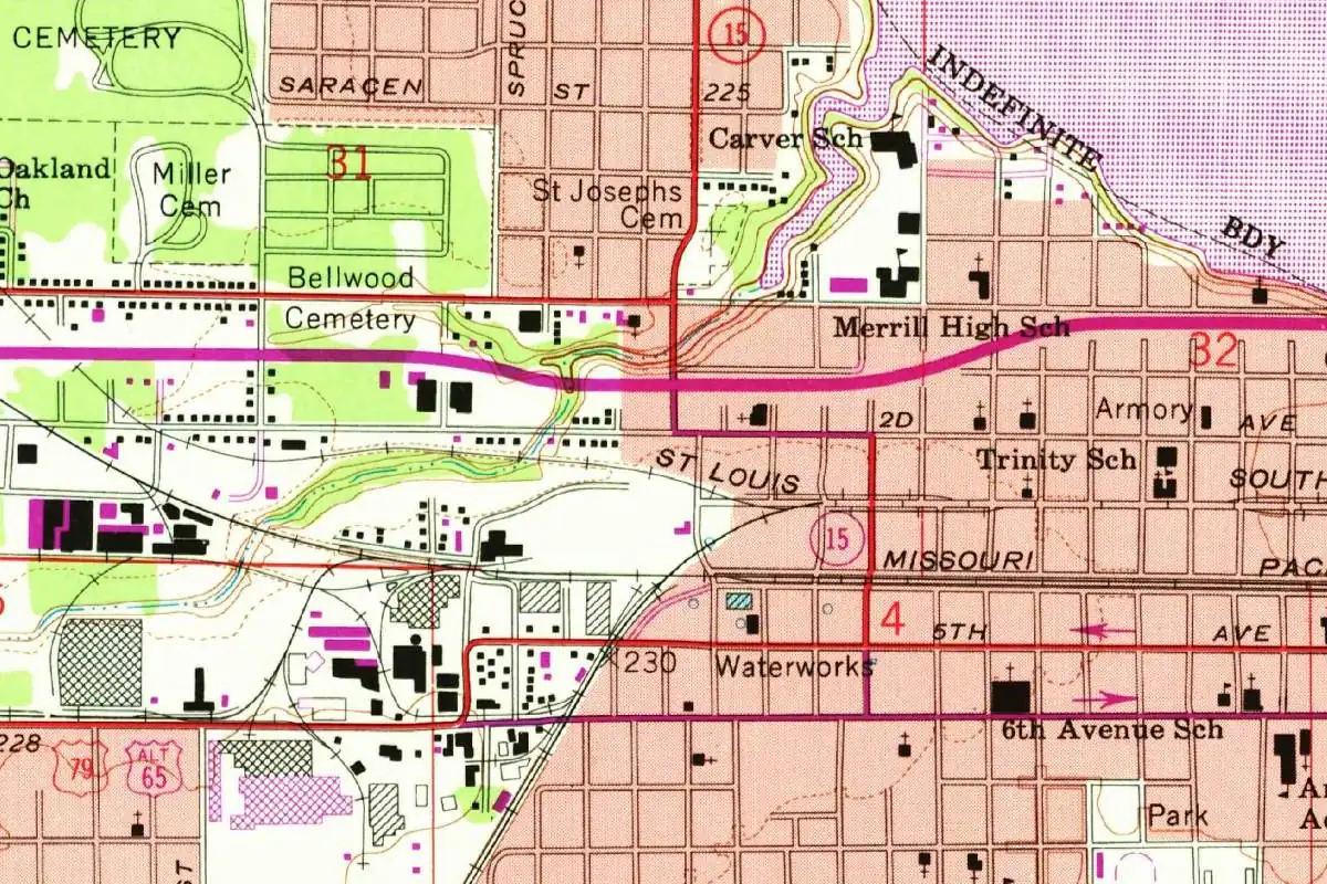
Pine Bluff, Arkansas, says what it is: an 1889 county history says the commissioners named it “from two natural characteristics,” the pines and the bluff. The more interesting part is who lived on that bluff first, and what the river did to it.
Two natural characteristics
The line comes from Goodspeed’s Biographical and Historical Memoirs of central Arkansas counties, a thick 1889 volume that covers Jefferson County in detail:
“The county seat has always been on the site of the “City of Pines,” even before the commissioners had chosen the site, as directed in the act of the General Assembly, and named it from two natural characteristics—Pine Bluff.”
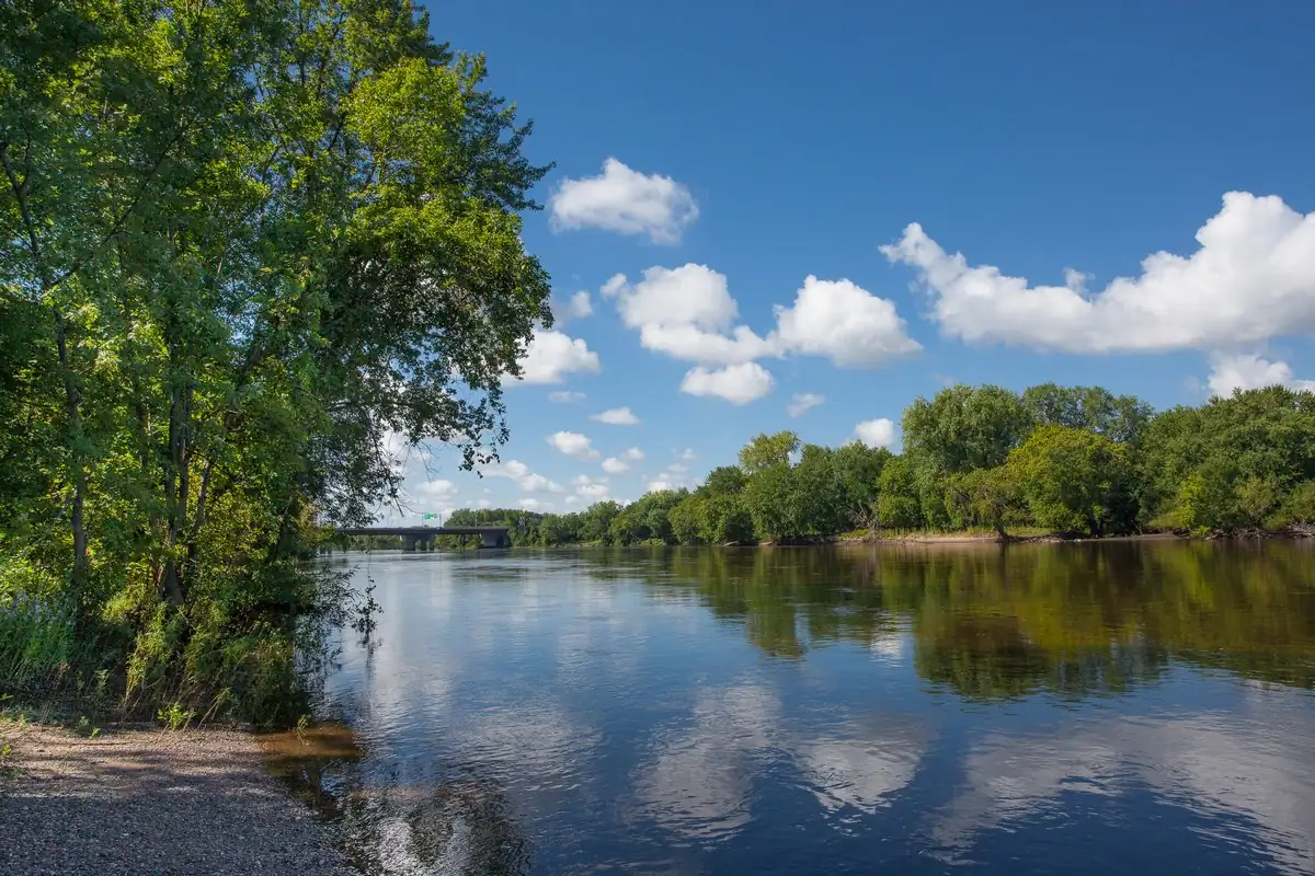
You can picture what they saw. The City of Pine Bluff describes the spot as “the first bluff above the mouth of the river,” covered by towering pine trees, at the eastern edge of the coastal plain of South Arkansas. The Encyclopedia of Arkansas puts it as a “high bluff covered with pine trees” on the south bank of the Arkansas River.
The naming itself came in 1832. The Encyclopedia of Arkansas says Pine Bluff became the county seat that August, and that at their first meeting in October the commissioners recommended the name “Pine Bluff Town.” The city gives an exact date: the county court officially named the settlement “The Town of Pine Bluff” on October 16, 1832. Goodspeed also calls the early settlement simply “the Bluff.”
Joseph Bonne’s cabin
Before there was a town, there was one man’s house on that bluff, and the sources don’t agree on much about him.
Goodspeed calls Joseph Bonne “a French trapper and hunter” and the first permanent white settler, there in 1819. Then, a sentence later, it says “it was in 1825 that he built a wigwam on the river bank,” where “a rifle, canoe and dog for a long time constituted all his earthly effects.”
The city tells a fuller story. It says Bonne was born in 1793, the child of one of the families formed when French and Spanish settlers married Quapaw women, and that he served as an interpreter for the U.S. government when the Quapaw ceded land at St. Louis on August 21, 1818. After a great flood in 1819, the city says, Bonne and his wife, Mary Imbeau, moved five miles (8 km) upstream from the Bonne Reserve to the bluff. There he built a log cabin with a lean-to that doubled as a tavern for travelers. The Encyclopedia of Arkansas has him building “a crude cabin for his Quapaw wife and family” there in the autumn of 1819.
So you’ll find two dates for the house and two very different pictures of the man. What all three agree on is the place: the first building at Pine Bluff was Bonne’s. When Jefferson County was created in 1829 and named for President Thomas Jefferson, the encyclopedia says, its first county seat was at Bonne’s cabin, and Goodspeed says his house “served as the first court house just ten years after he located there.”
Goodspeed also says Bonne entered the land in 1831, sold it to John T. Pullen, and owned the town’s first tavern, “kept by a Spaniard named Casamus.”
Sarasin’s camp and Saracen Street
Goodspeed places Bonne’s wigwam “near where Sarrasin had his camp.” Sarasin was a Quapaw leader. The Encyclopedia of Arkansas says he became a legend among Arkansas settlers for rescuing two children who’d been carried off by a Chickasaw raiding party, and that he received a presidential medal from James Miller, the first territorial governor. When the Quapaw gave up their land in the treaty of 1824, 80 acres along the Arkansas River were reserved for him. The encyclopedia also says he is buried in Pine Bluff.
His name shows up in more than one spelling. The encyclopedia lists Saracen, Sarrasin and Sarasen as other forms, and on the 1962 map at the top of this page, you’ll see a Saracen Street running across the top of the grid. One of the downtown murals is called “Saracen,” too.
Where the bluff went
Goodspeed adds a detail that’s easy to miss. He says the ground where Bonne’s house stood, between Chestnut and Walnut streets, was by 1889 “now caved into the river.” So the spot where Pine Bluff’s first court sat had already gone into the Arkansas River.
The town kept growing anyway. “From this beginning “the Bluff” gradually began to be a river trading point,” Goodspeed wrote. The encyclopedia says Pine Bluff was incorporated in January 1839, and the city says steamboats and then railroads drove its growth, from 2,081 people in 1870 to almost 10,000 by 1890. Goodspeed’s nickname for the place in 1889 was the “City of Pines.”
The Civil War reached the town, too. On October 25, 1863, the city says, Confederate General John S. Marmaduke attacked 550 Union troops under Colonel Powell Clayton with 2,500 men. Clayton’s men fought from behind a breastwork of cotton bales put up by 300 freedmen and held for five hours before Marmaduke pulled back.
The 1962 map shows a city filled in with schools, cemeteries, an armory and the waterworks laid out on the grid. The river itself is off the edge of this crop.
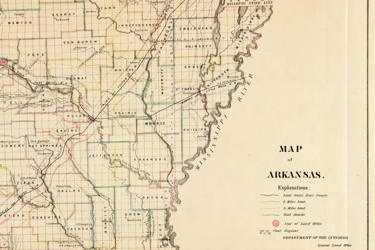
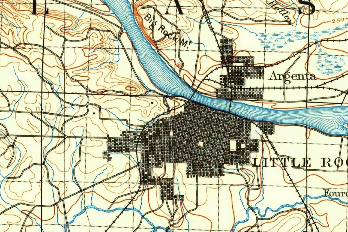
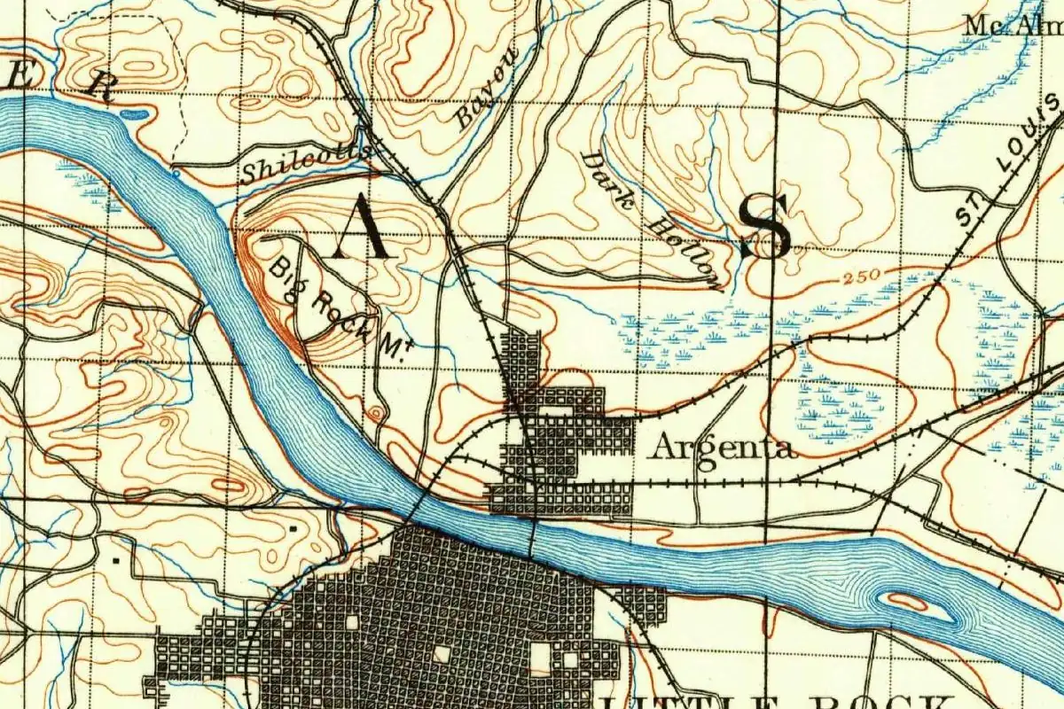
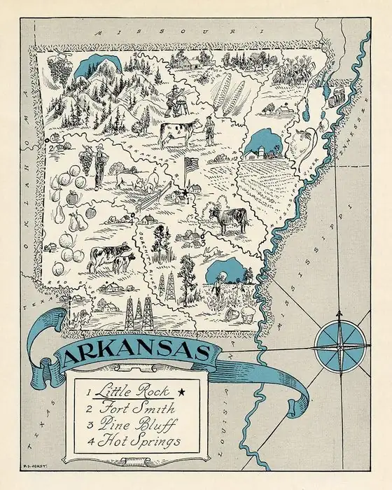
Upriver, Little Rock also got its name from a feature on the Arkansas River, and Goodspeed’s 1889 history covers it too. Bald Knob is another Arkansas town named for a piece of the landscape, and Fort Smith sits on the same river farther west. There’s more on our Arkansas page.
Quick answers
Why is Pine Bluff, Arkansas, called Pine Bluff?
Because of the place itself: a high bluff covered with pine trees on the Arkansas River. Goodspeed’s 1889 history says the commissioners named the county seat “from two natural characteristics—Pine Bluff.”
When was Pine Bluff named?
In 1832. The city says the county court named it “The Town of Pine Bluff” on October 16, 1832; the Encyclopedia of Arkansas says the commissioners recommended “Pine Bluff Town” that October.
Who was the first settler of Pine Bluff?
Joseph Bonne. Goodspeed calls him a French trapper and dates his arrival to 1819; the city says he was of Quapaw descent and moved to the bluff with his wife, Mary Imbeau, after a flood in 1819.
What happened to Joseph Bonne’s house site?
It went into the river. Goodspeed wrote in 1889 that the land where Bonne’s house stood, between Chestnut and Walnut streets, had “caved into the river.”
Key dates
- 1818Joseph Bonne serves as interpreter at the signing of the Quapaw Cession in St. Louis on August 21.
- 1819After a great flood, Bonne moves upstream to the pine-covered bluff on the Arkansas River.
- 1824The Quapaw cede their remaining land in a treaty that reserves 80 acres on the Arkansas River for Sarasin.
- 1829Jefferson County is created on November 2, and its first county seat is at Bonne's cabin.
- 1832The county court names the settlement the Town of Pine Bluff on October 16.
- 1839Pine Bluff is incorporated in January.
Things to do in Pine Bluff, Arkansas
Murals on Main
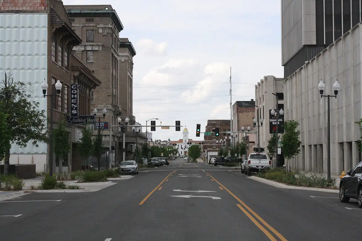
Murals on the outside walls of downtown buildings, begun in 1992, that teach some of Pine Bluff's history, with subjects including Main Street 1888, Saracen, the river, the timber industry and Cotton Belt steam engine 819.
Arkansas Railroad Museum
A museum in the old Cotton Belt shops, built between 1882 and 1894, which grew out of the effort to preserve Cotton Belt locomotive 819, the last steam locomotive built in Arkansas.
Arts & Science Center for Southeast Arkansas
A museum founded in 1968 that presents the visual arts, the performing arts and the sciences through exhibits, performances and classes for children, youth and adults.
UAPB University Museum and Cultural Center
A museum in Childress Hall at the University of Arkansas at Pine Bluff, with highlights from the university's history and African American dedication to education, starting with the newly freed in 1873.
Getting there
Open Pine Bluff in Google Maps
Opens in a new tab. The pin is the center of Pine Bluff in the USGS place-name record.
The closest airports, Amtrak stations and intercity bus stops, measured in a straight line from the center of Pine Bluff.
Airports
- Bill and Hillary Clinton Ntl/Adams Field (LIT) Little Rock 37 mi 59 km
- Monroe Regional (MLU) 119 mi 191 km
Amtrak trains
- Little Rock station (LRK) 40 mi 64 km
- Malvern station (MVN) 47 mi 76 km
Intercity buses
- Greyhound Bryant-Little Rock Gassy's 39 mi 63 km
- Jefferson Lines Russellville 47 mi 76 km
Distances are as the crow flies, not by road. We don't list schedules or fares because they change; check with the airline, Amtrak or the bus company before you go. Official data (FAA commercial service airports (2025), FAA airport locations, Amtrak stations and Intercity Bus Atlas) from the FAA and the U.S. Bureau of Transportation Statistics, checked Nov 14, 2026.
Sponsored
Staying in Pine Bluff?
Compare hotels in Pine Bluff, Arkansas, on Expedia.
See hotels in Pine BluffWe may earn a commission if you buy through this link. It never changes what we write. Read our affiliate disclosure
Historical Sources & References
- Goodspeed, Biographical and Historical Memoirs (1889), p. 127. Joseph Bonne, “a French trapper and hunter,” first permanent white settler in 1819; the 1825 wigwam “near where Sarrasin had his camp”; the rifle, canoe and dog.
- Goodspeed (1889), p. 131. The quoted passage on the “City of Pines” and the commissioners naming it “from two natural characteristics—Pine Bluff”; Bonne’s house as the first court house, on land “now caved into the river.”
- Goodspeed (1889), p. 134. Bonne’s land entry in 1831 and sale to John T. Pullen; the first tavern and Casamus; “the Bluff” as a river trading point.
- City of Pine Bluff, “Discover Pine Bluff”. Bonne’s birth in 1793 and Quapaw family ties; the 1818 Quapaw Cession; the 1819 flood and the move with Mary Imbeau; “the first bluff above the mouth of the river”; “The Town of Pine Bluff,” October 16, 1832; the Battle of Pine Bluff on October 25, 1863; growth from 2,081 to almost 10,000 people.
- Encyclopedia of Arkansas, “Pine Bluff”. The “high bluff covered with pine trees”; Jefferson County in 1829, named for Thomas Jefferson, and its first seat at Bonne’s cabin; county seat in August 1832; “Pine Bluff Town”; incorporation in January 1839; Sarasin’s burial in Pine Bluff.
- Encyclopedia of Arkansas, “Sarasin”. The Quapaw leader, his other spellings (Saracen, Sarrasin, Sarasen), the rescue legend, the medal and the 80 acres reserved in 1824.
- GNIS feature 78006 (U.S. Geological Survey). Federal place-name data for Pine Bluff, Jefferson County, with its coordinates.
- U.S. Geological Survey, Pine Bluff sheet (1962). The 1:24,000 map that the image at the top of this page was cropped from.
Spot something wrong, or know more? Tell us here. You can also email us or use our contact page. Corrections are noted here with their date, never made silently.