Wells, Nevada: Springs the Wagon Trains Knew
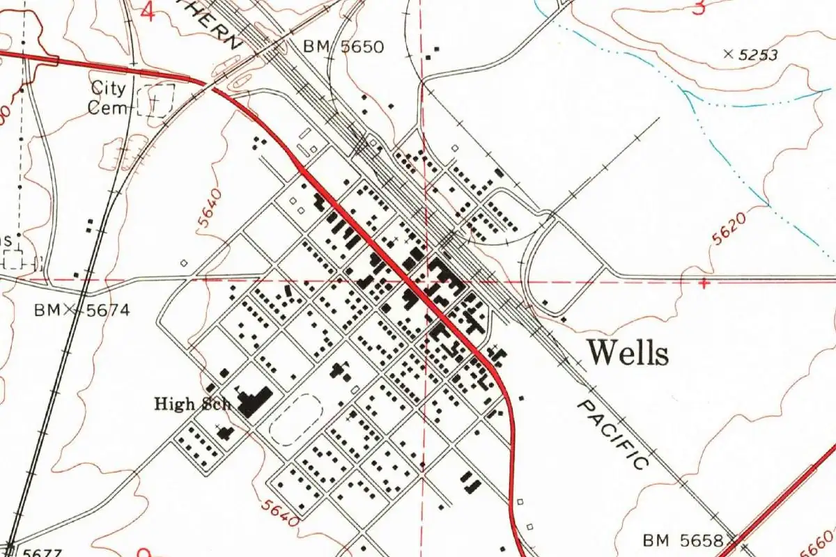
Wells, Nevada, kept half of an old emigrant name: the springs here were Humboldt Wells, and so was the rail station until the county cut it in 1873. The springs are still there, in the meadows just west of town.
A camp before a town
The state’s historical marker No. 45 stands by the springs. It calls them “Humboldt Wells, a historic oasis on the California Emigrant Trail.” Between 1845 and 1869, the marker says, “hundreds of covered wagon trains camped here” to rest and refit before the long haul west down the Humboldt Valley, about 300 miles (480 km) of it.
The “Humboldt” part is harder to pin down. The marker doesn’t explain it, but George Crofutt’s 1873 guide puts the springs in a meadow that “slopes away until it joins with the Humboldt or main valley.” Henry Gannett’s 1905 book on place names says the Humboldt River was named “for the geographer, Baron Alexander von Humboldt.” Nobody in these sources says who first called the springs Humboldt Wells.
Why “wells”?
Crofutt answers that one. He counted the springs “about twenty in number,” scattered over the little valley, and said a traveler would hardly notice them “unless his attention was called to them,” since nothing marked them but a ring of tall grass. Then he described what you’d see up close:
When standing on the bank of one of these curious springs, you look on a still surface of water, perhaps six or seven feet across, and nearly round. No current disturbs it; it resembles a well more than a natural spring, and you look around to see the dirt which was taken therefrom when the well was dug.
So they looked like wells someone had dug, with nobody’s dirt piled beside them. Crofutt added that the railroad pumped its water from one of them, about 200 yards (180 m) west of the station.
From Humboldt Wells to Wells
The marker gives the two dates. “In 1869, the Central Pacific Railroad established a station named Humboldt Wells for the springs located west of the station. In 1873, the Elko County Commission changed the name from Humboldt Wells to Wells.” Crofutt’s guide of that same year already lists the stop as plain “WELLS,” 525 miles (845 km) from Sacramento, and still calls the springs “the celebrated HUMBOLDT WELLS.”
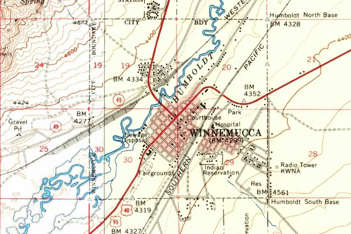
The federal gazetteer gives 1869 as the founding year and 1927 for incorporation. Wells sat on the same Central Pacific line that ran west down the Humboldt to Winnemucca. If you’re driving west toward it, you’re heading down the same Humboldt Valley the wagon trains took.
Quick answers
Where does the name Wells, Nevada, come from?
For the springs called Humboldt Wells, just west of the railroad station. The Central Pacific used that name for its station in 1869, and the Elko County Commission shortened it to Wells in 1873, according to the state marker.
Are the Humboldt Wells real wells?
No. They’re natural springs. Crofutt wrote in 1873 that they looked so round and still that they resembled “a well more than a natural spring.”
Who is the Humboldt in Humboldt Wells?
Probably the geographer Alexander von Humboldt, by way of the Humboldt River. Gannett says the Humboldt River was named for him, and Crofutt places the springs in a meadow that runs down into the Humboldt valley. No source we found says who named the springs themselves.
Key dates
- 1845-1869Wagon trains on the California Emigrant Trail camp at the springs called Humboldt Wells.
- 1869The Central Pacific opens a station named Humboldt Wells; the federal gazetteer gives this as the town's founding year.
- 1873The Elko County Commission changes the name to Wells, and Crofutt's guide lists the station as Wells.
- 1927Wells is incorporated.
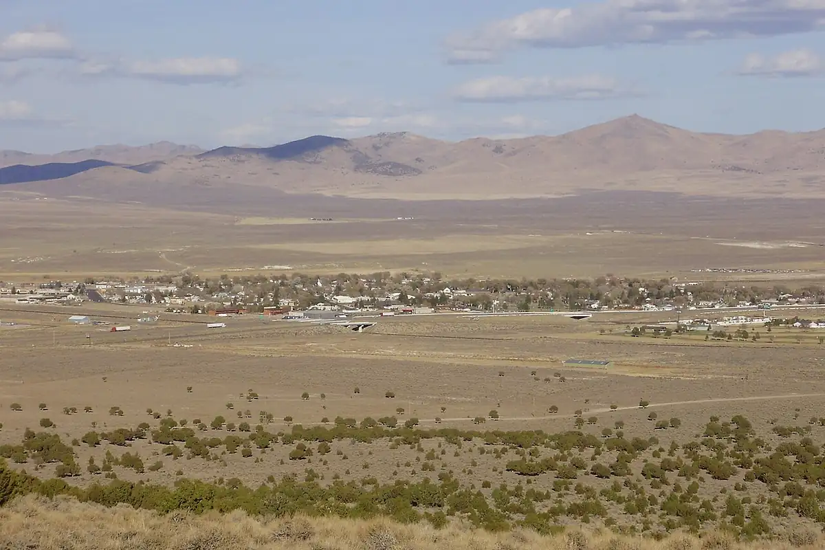
Getting there
Open Wells in Google Maps
Opens in a new tab. The pin is the center of Wells in the USGS place-name record.
The closest airports, Amtrak stations and intercity bus stops, measured in a straight line from the center of Wells.
Airports
- Elko Regional (EKO) 47 mi 76 km
- Joslin Field/Magic Valley Regional (TWF) Twin Falls 98 mi 157 km
Amtrak trains
- Elko station (ELK) 45 mi 73 km
Intercity buses
- Greyhound Elko Elko Sinclair 49 mi 79 km
Distances are as the crow flies, not by road. We don't list schedules or fares because they change; check with the airline, Amtrak or the bus company before you go. Official data (FAA commercial service airports (2025), FAA airport locations, Amtrak stations and Intercity Bus Atlas) from the FAA and the U.S. Bureau of Transportation Statistics, checked Nov 6, 2026.
Sponsored
Staying in Wells?
Compare hotels in Wells, Nevada, on Expedia.
See hotels in WellsWe may earn a commission if you buy through this link. It never changes what we write. Read our affiliate disclosure
Historical Sources & References
- Nevada State Historical Marker No. 45, Humboldt Wells (Nevada State Historic Preservation Office). The springs as an oasis on the California Emigrant Trail, the wagon camps of 1845 to 1869, the Central Pacific station named Humboldt Wells in 1869 and the county’s change to Wells in 1873.
- George A. Crofutt, Crofutt’s Trans-Continental Tourist’s Guide (1873), pp. 128-129. The station called Wells, 525 miles (845 km) from Sacramento; the “celebrated HUMBOLDT WELLS,” about twenty springs, the railroad’s pump house and the passage on why they resemble wells.
- Henry Gannett, The Origin of Certain Place Names in the United States, 2nd ed. (1905), p. 163. The Humboldt River in Nevada, named for Baron Alexander von Humboldt.
- GNIS feature 845730 (U.S. Geological Survey). The names system’s page for Wells, in Elko County: “Founded in 1869 and incorporated in 1927.”
Spot something wrong, or know more? Tell us here. You can also email us or use our contact page. Corrections are noted here with their date, never made silently.