Cush-pii Was Stonewall Peak Until 2025
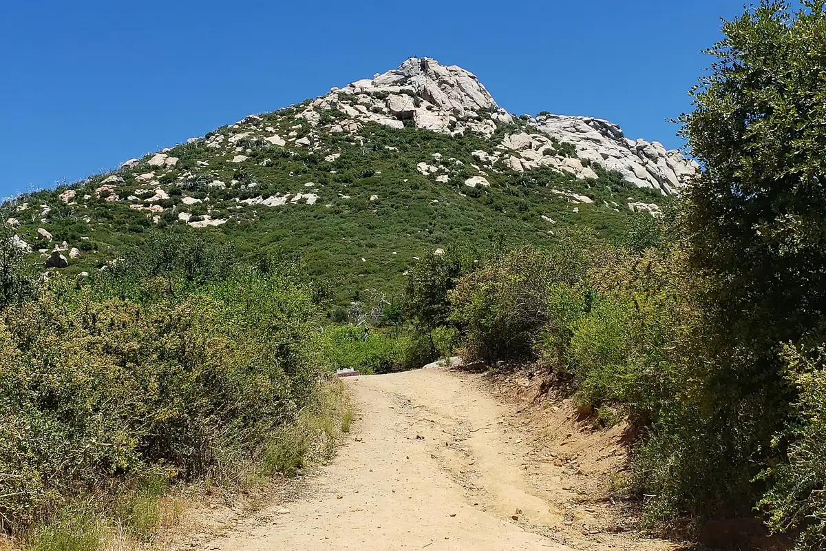
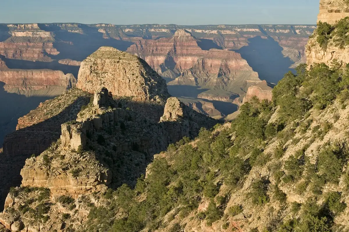
Stonewall Peak, in San Diego County’s Cuyamaca Rancho State Park, became Cush-pii in 2025. It’s the Kumeyaay name for the summit and means “sharp point.” The federal board made it official on December 11, 2025, and if you hike the trail today, you’re climbing Cush-pii.
“Sharp point” in Iipai Aa
Cush-pii is a word in Iipai Aa, the language of the Kumeyaay people, whose homelands, in the proposal’s words, “stretch over 75 miles north and south” of the border between California and Mexico. That’s more than 120 km. The Kumeyaay Diegueño Land Conservancy, whose board has delegates from ten federally recognized tribal governments, asked for the name in January 2025. Its proposal explains:
Cush-pii, which means “Sharp Point,” is referring to not just the geological attributes of the mountain but the cultural significance as well. This return to traditional knowledge would be a restoration of Kumeyaay place name and support active Kumeyaay language revitalization.
The conservancy says the name was identified with help from an elder language speaker of the Iipay Nation of Santa Ysabel. It isn’t new on paper, either. The federal board found it spelled Coosh-Pi in The Indian Place Names of Rancho Cuyamaca (1950) and as Sharp Peak in a 2005 book of San Diego County place names.
The summit rises to 5,730 feet (1,747 m), 2.2 miles (3.5 km) northeast of Cuyamaca Peak. Even the park’s name has a Kumeyaay root: the conservancy lists ’Ekwii ’Aamuc as the Kumeyaay name for Cuyamaca.
Where “Stonewall” came from
The board’s file explains the Stonewall names with the history of a local gold mine. According to historians, as the file reports, San Diego County’s gold rush began in 1869, when a formerly enslaved person from Kentucky found gold a few miles north of the peak. Many Confederate sympathizers moved to the area in those years.
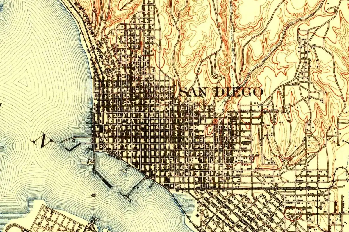
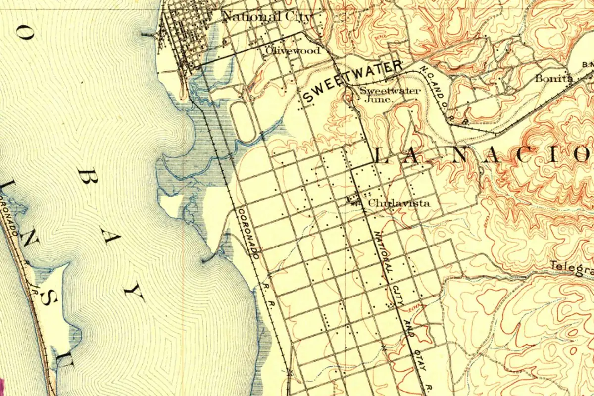
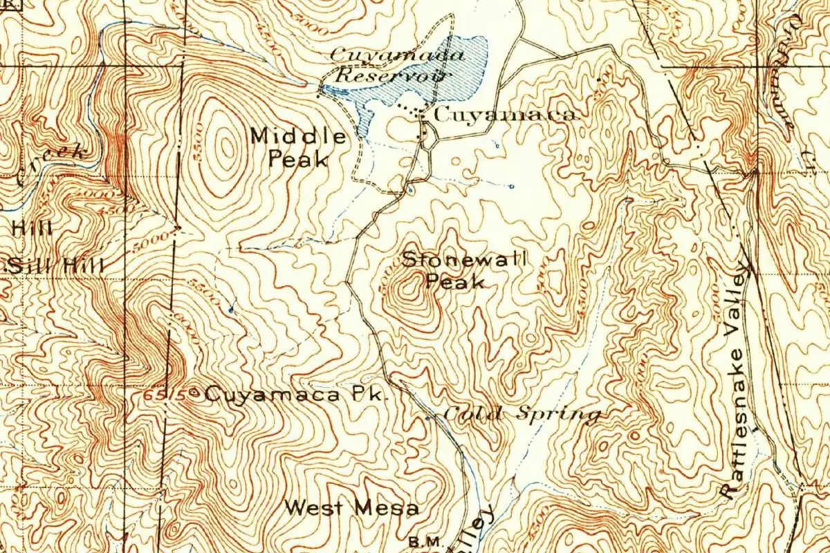
Historians don’t agree on who found the gold vein at the Stonewall Mine. They credit either William Skidmore, a Confederate sympathizer from Tennessee, or Charles Hensley, a miner from England. Either way, the claim was named the Stonewall Jackson Mine, after the Confederate general Stonewall Jackson. “Jackson” was likely dropped later, maybe because of anti-Confederate miners, or because the mine passed to two pro-Union Republicans, Almon Frary Sr. and Joseph Farley. The mine shut down in 1895. Look at the 1903 Geological Survey map at the bottom of this page and you’ll find the summit already labeled Stonewall Peak.
Two requests, one name
In July 2021, Elizabeth Schalo, an engineer and former student at Kumeyaay Community College, told the land conservancy that four places in Kumeyaay homelands carried names based on Stonewall Jackson. The conservancy set up a working group of tribal leaders, elders, language speakers and historians, which met at the college’s classroom on the Sycuan Reservation.
That fall, a San Diego County resident sent the federal board a separate request to rename the peak, also using the name Cush-Pii. The resident wrote:
Once my Black family learned of the name of the peak and its association with Stonewall Jackson, we no longer feel welcome at this State Park or desire to hike the trail.
Beginning in 2022, California State Parks worked with a researcher and the conservancy to find the most accurate Kumeyaay names. The conservancy filed its proposal on January 10, 2025, and on December 11, 2025, the U.S. Board on Geographic Names approved it.
Four new names around the peak
The board renamed all four Stonewall features in the park on the same day:
- Stonewall Peak became Cush-pii, “sharp point.”
- Stonewall Creek became Kwettap Cush-pii, “sharp point creek.”
- Little Stonewall Peak became Cush-pii ’Estik, “little sharp point.”
- Little Stonewall Creek became Kwettap ’Ekwii Emak, “behind the clouds creek,” after a nearby Kumeyaay village site.
The conservancy wrote that the names add to Kumeyaay place names that are already on the map across the region, such as Poway, Jamul and Otay. To learn how the Spanish first met the Kumeyaay on the coast in 1542, read our story of San Diego.
Quick answers
Why was Stonewall Peak renamed?
The name referred to the Confederate general Stonewall Jackson; the board’s file links it to a local mine first called the Stonewall Jackson Mine. The Kumeyaay Diegueño Land Conservancy asked to restore the mountain’s Kumeyaay name, and the federal board approved Cush-pii on December 11, 2025.
What does Cush-pii mean?
“Sharp point,” in Iipai Aa, the Kumeyaay language. The conservancy says it refers both to the shape of the mountain and to its cultural importance.
Did other names change too?
Yes. Stonewall Creek, Little Stonewall Peak and Little Stonewall Creek got Kumeyaay names the same day: Kwettap Cush-pii, Cush-pii ’Estik and Kwettap ’Ekwii Emak.
Key dates
- 1869A formerly enslaved person from Kentucky finds gold a few miles north of the peak, starting San Diego County's gold rush.
- 1895The Stonewall Mine, first claimed as the Stonewall Jackson Mine, stops operating.
- 1903A Geological Survey map labels the summit Stonewall Peak.
- 2021July: Elizabeth Schalo tells the Kumeyaay Diegueño Land Conservancy about the Stonewall names.
- 2025January: the conservancy proposes Cush-pii. December 11: the federal board approves it.
Find it in Google Maps
Opens in a new tab. The pin is a point from the USGS place-name record, so it may not be the middle of the area.
Sponsored
Planning a visit?
Compare hotels in the area on Expedia.
See hotels nearbyWe may earn a commission if you buy through this link. It never changes what we write. Read our affiliate disclosure
Historical Sources & References
- U.S. Board on Geographic Names, Quarterly Review List 459 (2025). The conservancy’s proposal of January 10, 2025, the meaning of each name, the 2021 request and quotation from a county resident, the history of the Stonewall Mine, the summit’s height and location, and the earlier spellings Coosh-Pi and Sharp Peak.
- U.S. Board on Geographic Names, Action List. Cush-pii and the three related names approved on December 11, 2025.
- GNIS feature 273917, Cush-pii (U.S. Geological Survey). The Geological Survey’s entry for the summit.
Sponsored
Gear up for your next road trip
Explore rooftop tents, vehicle awnings and outdoor gear from TOPOAK Overland.
Shop TOPOAK overlanding gearWe may earn a commission if you buy through this link. It never changes what we write. Read our affiliate disclosure
Spot something wrong, or know more? Tell us here. You can also email us or use our contact page. Corrections are noted here with their date, never made silently.