Longview, Texas: Named for the View From a Hill
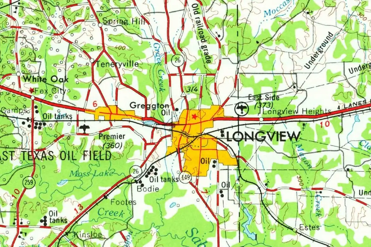
Longview, Texas, is named for exactly what it sounds like: a long view, which the railroad’s people reportedly took in from O. H. Methvin’s house. Three sources, written more than a century apart, all trace the name to a view.
Earpville gets bypassed
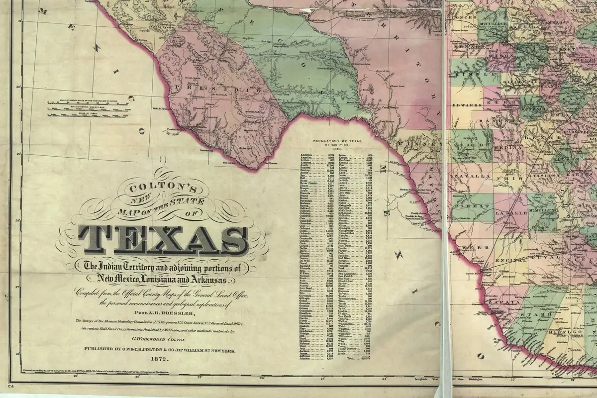
Before the railroad, the area had two small rural communities with post offices, Earpville in the east and Pine Tree in the west. In the early 1870s the Southern Pacific Railroad (later the Texas and Pacific) pushed its track west from Marshall, “bypassed Earpville and laid out a new town a mile to the west on land purchased from Ossamus Hitch Methvin, Sr.,” Eugene W. McWhorter writes in his Handbook of Texas entry. That’s about 1.6 km. Earpville, McWhorter adds, eventually “disappeared from the map.”
The view
Then comes the name. “Railroad management called the new settlement Longview, reportedly because of the impressive view from Methvin’s house, which was on what is now Center Street.” Notice the word “reportedly.” The Handbook is passing along the story, not quoting a document from 1870.
The older versions back it up. In 1905 Henry Gannett of the U.S. Geological Survey wrote that Longview was “so named because of the extensive view afforded by a hill.” And a 1963 state marker says the town was “named for ‘long view’ from Rock Hill when surveyors laid off townsite in 1870.” So you’ve got a house, a hill and a view, but not one agreed lookout. The Handbook credits railroad management with the name, the marker names surveyors, and Gannett doesn’t say who was looking. None of them says Methvin’s house stood on Rock Hill.
A temporary end of the line
The railroad didn’t move on right away. A post office opened in January 1871, before regular service even began, and money troubles kept the Southern Pacific from building farther west for two years. That made Longview the end of the line, and wagons from all over East Texas journeyed to the town. The town incorporated in 1871; McWhorter gives May 17, while the 1963 marker says June 24.
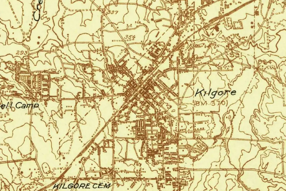
In 1872 the International Railroad built a connection from Palestine that met the Southern Pacific about a mile (1.6 km) east of the Longview depot, and that spot became Longview Junction. The two depots were linked by a street railway, and Longview annexed the Junction in 1904. The same line, on its way toward Palestine, also gave rise to Kilgore.
Oil, much later
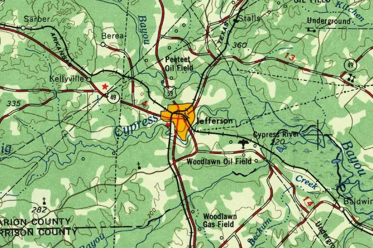
Oil, the Federal Writers’ Project wrote in 1940, had changed Longview “from a somnolent country town to a city of wide streets.” On the 1956 sheet, the words “East Texas Oil Field” run across the woods west and southwest of town, with oil tanks dotted along the roads. If you go looking for the spot where the name started, the Handbook puts Methvin’s house on what is now Center Street.
Quick answers
What view is Longview, Texas, named for?
Because of a long view from a hill. The Handbook of Texas says railroad management named it, “reportedly because of the impressive view from Methvin’s house”; Gannett (1905) and the town’s 1963 marker credit the view from a hill.
Was Longview, Texas, once called Earpville?
No. Earpville was a separate community a mile (1.6 km) to the east. The railroad bypassed it and laid out Longview on Methvin’s land, and Earpville later disappeared.
When was Longview, Texas, founded?
The townsite was laid out in 1870, by the marker’s account, and the post office opened in January 1871. The town incorporated in 1871.
Key dates
- 1871A post office opens in January, before regular trains; Longview incorporates later that year and becomes the railroad's western end for two years.
- 1872The International line from Palestine joins the Southern Pacific a mile (1.6 km) east of the depot, at what becomes Longview Junction.
- 1904Longview annexes Longview Junction.
Getting there
Open Longview in Google Maps
Opens in a new tab. The pin is the center of Longview in the USGS place-name record.
The closest airports, Amtrak stations and intercity bus stops, measured in a straight line from the center of Longview.
Airports
- East Texas Regional (GGG) Longview 8 mi 13 km
- Tyler Pounds Regional (TYR) 40 mi 64 km
- Dallas Love Field (DAL) 125 mi 201 km
Amtrak trains
- Longview station (LVW) under 1 mi 1 km
- Marshall station (MHL) 22 mi 35 km
Intercity buses
- Amtrak Chartered Vehicle Amtrak Connecting Service · Longview under 1 mi 1 km
- Greyhound Longview Bus Station under 1 mi 1 km
Distances are as the crow flies, not by road. We don't list schedules or fares because they change; check with the airline, Amtrak or the bus company before you go. Official data (FAA commercial service airports (2025), FAA airport locations, Amtrak stations and Intercity Bus Atlas) from the FAA and the U.S. Bureau of Transportation Statistics, checked Nov 6, 2026.
Sponsored
Staying in Longview?
Compare hotels in Longview, Texas, on Expedia.
See hotels in LongviewWe may earn a commission if you buy through this link. It never changes what we write. Read our affiliate disclosure
Historical Sources & References
- Eugene W. McWhorter, “Longview, TX (Gregg County),” Handbook of Texas Online (TSHA). Earpville and Pine Tree, the Southern Pacific’s new town on Methvin’s land, the name “reportedly because of the impressive view from Methvin’s house,” the January 1871 post office, the two-year wait, the May 17, 1871, incorporation, Longview Junction (1872) and its annexation (1904).
- Henry Gannett, The Origin of Certain Place Names in the United States (1905), p. 190. “Longview; town in Gregg County, Texas, so named because of the extensive view afforded by a hill.”
- Texas Historical Commission, “Longview” marker, 1963 (Atlas 5183009977). “Named for ‘long view’ from Rock Hill when surveyors laid off townsite in 1870. Incorporated June 24, 1871.”
- Federal Writers’ Project, Texas: A Guide to the Lone Star State (1940), p. 552. Oil changed Longview “from a somnolent country town to a city of wide streets.”
- GNIS feature 1374716 (U.S. Geological Survey). Longview’s listing in the Geological Survey’s names system, with “Incorporated in 1871.”
Spot something wrong, or know more? Tell us here. You can also email us or use our contact page. Corrections are noted here with their date, never made silently.