Grafton, West Virginia: An Engineer or a Railroad Graft?
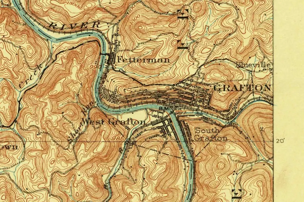
Nobody agrees whether Grafton, West Virginia, honors a railroad engineer or the branch lines the Baltimore and Ohio grafted onto its main line there. Both stories tie the name to the railroad, and neither comes with a naming document.
Where two railroads met
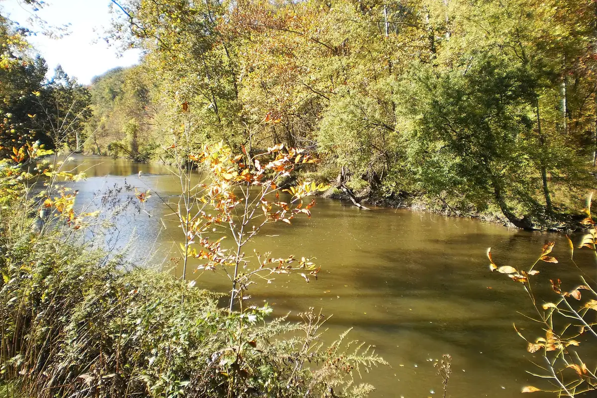
Before the B&O, this was a tangle of grapevines and berry briars. The Federal Writers’ Project guide to West Virginia, published in 1941, says William Robinson claimed 400 acres of Buffalo Flats at the mouth of Three Forks Creek in 1773 but never farmed it. Then, in 1852, Irish crews building the Baltimore and Ohio pitched their tents there.
Edward Hungerford, author of the B&O’s centennial history in 1928, explains why the site mattered. The B&O’s line down the Tygart Valley met Three Forks Creek, and the spot had been “set apart for a rail junction” with the Northwestern Virginia Railroad, then building west to Parkersburg. Trains bound east from Wheeling and Columbus would cross paths here with trains from Parkersburg and Cincinnati. A village grew up around the junction, and the Virginia General Assembly chartered it on March 15, 1856.
The graft
The oldest naming story in our sources is the railroad pun. Henry Gannett, compiling place names for the Geological Survey in 1905, wrote that the town was “so named by the Baltimore and Ohio Railroad, because they grafted a branch from this point to Wheeling.” Hungerford, though, has the line that joined the main stem at Grafton heading to Parkersburg, not Wheeling.
The 1941 guide tells a looser version, and it hedges: the name came, “so it is said,” from construction crews who called the place the “graftin’ on” point, “for here many branch lines were joined to the main line.” You’ll notice neither book names a person or cites a document.
The engineer
The state’s own records point to a man. The West Virginia Blue Book, in its register of towns, says Grafton was “named in honor of John Grafton, a civil engineer in the employment of Colonel Benjamin Latrobe, who laid out the route of the Baltimore & Ohio Railroad in 1852.” Ella Belling’s entry in e-WV calls him “a prominent B&O engineer.”
This is the version the state uses today. Still, neither source quotes the charter or a railroad order that names him, and the two older books never mention him. If you want our read, the engineer has the edge: he’s a named person, and the graft story comes with a “so it is said” attached. But the graft is the older one in print, so you can’t rule it out.
Quick answers
Who was Grafton, West Virginia, named after?
That depends on the source. The West Virginia Blue Book and e-WV say John Grafton, a B&O civil engineer. Gannett (1905) and the 1941 state guide say the name came from the railroad “grafting” a branch onto the line there.
Does Grafton come from “graftin’ on”?
Maybe. The 1941 guide says “so it is said” that crews called it the “graftin’ on” point, and Gannett gave a similar reason in 1905, but no document from the naming backs it up.
Why was Grafton important to the B&O?
It was a junction. Hungerford’s history says the spot was set apart for the meeting of the B&O main line and the Northwestern Virginia Railroad to Parkersburg, so trains from Wheeling and Parkersburg crossed paths there.
Key dates
- 1773William Robinson claims 400 acres of Buffalo Flats at the mouth of Three Forks Creek.
- 1852Baltimore and Ohio construction crews camp at the site.
- 1856Grafton is chartered on March 15 by the Virginia General Assembly.
Getting there
Open Grafton in Google Maps
Opens in a new tab. The pin is the center of Grafton in the USGS place-name record.
The closest airports, Amtrak stations and intercity bus stops, measured in a straight line from the center of Grafton.
Airports
- North Central West Virginia (CKB) Clarksburg 12 mi 19 km
- Morgantown Municipal/Walter L Bill Hart Field (MGW) 22 mi 35 km
- Pittsburgh International (PIT) 80 mi 129 km
Amtrak trains
- Connellsville station (COV) 52 mi 84 km
- Cumberland station (CUM) 71 mi 114 km
Intercity buses
- Barons Bus Lines Fairmont (Bus Shelter 1) 11 mi 18 km
- Greyhound Morgantown Mountaineer Station Wvu 22 mi 35 km
- BayRunner Shuttle Grantsville 55 mi 88 km
Distances are as the crow flies, not by road. We don't list schedules or fares because they change; check with the airline, Amtrak or the bus company before you go. Official data (FAA commercial service airports (2025), FAA airport locations, Amtrak stations and Intercity Bus Atlas) from the FAA and the U.S. Bureau of Transportation Statistics, checked Nov 6, 2026.
Sponsored
Staying in Grafton?
Compare hotels in Grafton, West Virginia, on Expedia.
See hotels in GraftonWe may earn a commission if you buy through this link. It never changes what we write. Read our affiliate disclosure
Historical Sources & References
- Henry Gannett, The Origin of Certain Place Names in the United States (1905), p. 140. “So named by the Baltimore and Ohio Railroad, because they grafted a branch from this point to Wheeling.”
- Federal Writers’ Project, West Virginia: A Guide to the Mountain State (1941), p. 510. William Robinson’s claim in 1773, the B&O crews’ camp in 1852, the 1856 incorporation, and the “graftin’ on” story, “so it is said.”
- West Virginia Blue Book 2012, Municipal Register, p. 700. The charter of March 15, 1856, and the name “in honor of John Grafton, a civil engineer in the employment of Colonel Benjamin Latrobe.”
- Ella Belling, “Grafton,” e-WV: The West Virginia Encyclopedia. Chartered in 1856 and named for John Grafton, “a prominent B&O engineer.”
- Edward Hungerford, The Story of the Baltimore & Ohio Railroad, vol. 1 (1928), pp. 258 and 295. The junction at Three Forks Creek with the Northwestern Virginia Railroad, building to Parkersburg, and the trains from Wheeling, Columbus, Parkersburg and Cincinnati meeting at Grafton.
- GNIS feature 1554590 (U.S. Geological Survey). Grafton’s entry in the Geographic Names Information System, with its Taylor County location.
Spot something wrong, or know more? Tell us here. You can also email us or use our contact page. Corrections are noted here with their date, never made silently.