Adams, Wisconsin: The Depot That Wasn't in Friendship
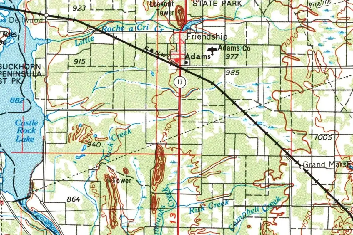
The first depot sign at Adams, Wisconsin, said Friendship, then South Friendship, though the real village of Friendship was about a mile (2 km) north. The railroad’s town only got a name of its own when the people living there asked for one, and the railroad picked a short one.
A railroad that missed Friendship
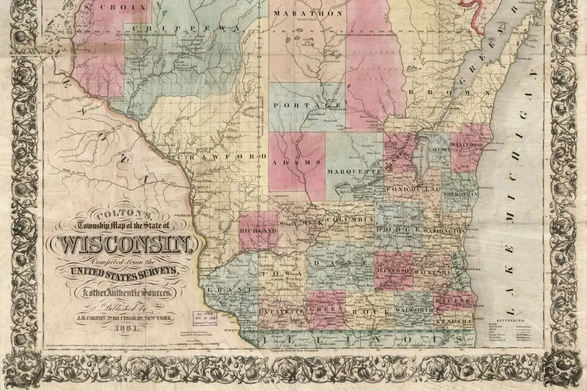
Adams County had waited a long time for trains. The Adams County Historical Society calls it the last county in Wisconsin to get a railroad inside its borders and says that by 1890 its county seat, Friendship, was the only one in the state without one. Then, in the summer of 1909, Chicago and North Western survey crews came through. Their line “deviated a little.” As the local paper put it, “the survey as now made makes the line run about a mile south of the village,” a little under 2 km.
A railroad agent, the society says, “was heard to remark that a station would be built where the line crosses the north and south road south of town and its name would be Friendship.” Friendship would get its station, just not in Friendship.
From South Friendship to Adams
The village’s own history picks it up from there. In 1911 the North Western built its new line across the county, and it put the yards for a division point a mile (2 km) south of the village. “The name on the depot said ‘Friendship’, then ‘South Friendship’ and in 1912 with a rapidly expanding group of railroad men a separate community known as Adams was formed.”
Robert E. Gard and L. G. Sorden’s The Romance of Wisconsin Place Names, as an Adams County history site transcribes it, gives the reason for the switch. The town was first called South Friendship, the citizens didn’t like it, and they appealed to the railroad, which “finally decided on Adams because it was short.” According to the city of Adams, it was founded in 1912 when the North Western arrived, became a village and, in 1926, a city.
Which Adams?
Here’s where nobody can give you a clean answer. Gard and Sorden say the name honors “either” John Quincy Adams, the sixth president, or John Adams, the second. The county around it had carried the name long before the railroad came, and Henry Gannett’s 1905 list of place names gives John Quincy Adams for Adams County, Wisconsin. But none of these sources says the railroad meant the county, or either president, when it chose the word. The one reason on record is that it was short.
If you have to lean one way, John Quincy Adams has a little more behind him, since Gannett gives him for the county. But that’s a guess about the county, not the town. So if you stand in Adams, you’re in a town the railroad named because the word was short.
Quick answers
What was Adams, Wisconsin, called before?
South Friendship. The village of Friendship says the depot sign first read “Friendship,” then “South Friendship,” before the new railroad community became Adams in 1912.
Why is it called Adams?
Because it was short, according to Gard and Sorden. Residents disliked South Friendship and appealed to the Chicago and North Western, which settled on Adams.
Is Adams, Wisconsin, named after John Adams or John Quincy Adams?
There’s no agreement. Gard and Sorden name both presidents as possibilities, and Henry Gannett’s place-name list gives John Quincy Adams for the county, but no source says which one the railroad had in mind for the town.
Are Adams and Friendship the same town?
No. Friendship is the older village, and it was the county seat when the railroad came. Adams grew up around the railroad yards a mile (2 km) to the south.
Key dates
- 1909Chicago and North Western surveyors run the line about a mile (2 km) south of Friendship.
- 1911The North Western builds its new line across Adams County, with a division yard south of the village.
- 1912Railroad men form a separate community known as Adams.
- 1926The village of Adams becomes a city.
Getting there
Open Adams in Google Maps
Opens in a new tab. The pin is the center of Adams in the USGS place-name record.
The closest airports, Amtrak stations and intercity bus stops, measured in a straight line from the center of Adams.
Airports
- Central Wisconsin (CWA) Mosinee 57 mi 92 km
- Dane County Regional/Truax Field (MSN) Madison 61 mi 99 km
- General Mitchell International (MKE) Milwaukee 119 mi 191 km
Amtrak trains
- Wisconsin Dells station (WDL) 23 mi 37 km
- Portage station (POG) 33 mi 53 km
Intercity buses
- FlixBus Wisconsin Dells Commerce Street 25 mi 41 km
- Jefferson Lines Wisconsin Dells 25 mi 41 km
- Greyhound Tomah McDonald's 34 mi 55 km
Distances are as the crow flies, not by road. We don't list schedules or fares because they change; check with the airline, Amtrak or the bus company before you go. Official data (FAA commercial service airports (2025), FAA airport locations, Amtrak stations and Intercity Bus Atlas) from the FAA and the U.S. Bureau of Transportation Statistics, checked Nov 6, 2026.
Sponsored
Staying in Adams?
Compare hotels in Adams, Wisconsin, on Expedia.
See hotels in AdamsWe may earn a commission if you buy through this link. It never changes what we write. Read our affiliate disclosure
Historical Sources & References
- Village of Friendship, “A Short History of Friendship”. The North Western’s new line in 1911, the yards “a mile south of the Village proper,” the depot signs “Friendship” and “South Friendship,” and the separate community of Adams in 1912.
- Adams County Historical Society, “Coming of the Railroad”. The county’s long wait for a railroad, the 1909 survey that “deviated a little,” the Adams County Press report that the line would run “about a mile south of the village,” and the agent’s remark about a station named Friendship.
- Robert E. Gard and L. G. Sorden, The Romance of Wisconsin Place Names (1968), entry “Adams,” as transcribed on Links to the Past. First called South Friendship; the citizens’ appeal to the railroad, which “finally decided on Adams because it was short”; “Either for John Quincy Adams, the sixth president, or John Adams, the second president.” We read the transcription, not the book.
- Henry Gannett, The Origin of Certain Place Names in the United States (1905), p. 16. Adams counties in Illinois, Indiana and Wisconsin “named for President John Quincy Adams.”
- City of Adams, “Welcome to City of Adams”. Founded in 1912 when the North Western arrived, then a village, then a city in 1926.
- GNIS feature 1560681 (U.S. Geological Survey). The Geographic Names Information System entry for this Adams, the one in Adams County. Another Adams in Walworth County has its own entry.
Spot something wrong, or know more? Tell us here. You can also email us or use our contact page. Corrections are noted here with their date, never made silently.