Baraboo, Wisconsin: A French Trader, a Fish or a Mystery?
Baraboo took its name from the Baraboo River. Most early accounts trace the river's name to a French fur trader called Baribeau or Baribault, but others pointed to a Captain Barebeauy, the French word for catfish, or a missionary priest. A 2014 historic district nomination still calls the source unclear.
Baraboo, Wisconsin, took its name from the Baraboo River, and a historian wrote in 1912 that the mystery of the word might never be cleared. The leading answer is a French fur trader called Baribeau or Baribault. But you’ll also meet an army captain, a catfish, a sturgeon and a missionary before the story is done.
A river name before a town
The name belonged to the water first. H. E. Cole, who gathered the old evidence for his 1912 booklet Baraboo and Other Place Names in Sauk County, Wisconsin, opens with the question and a warning:
“Whence came the word Baraboo? It was first applied to the river, then to the rapids, bluffs and valleys and later to the town and city. There are many conjectures and uncertainties surrounding the appellation and it is very doubtful if the mystery will ever be cleared.”
A 2014 National Register nomination for the downtown historic district agrees on the order of things. It says the river was named Baraboo before the first settlement and mill were set up near the site in 1839.
The old maps can’t agree
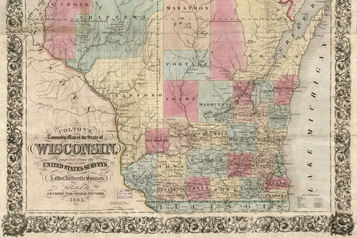
Cole went through the maps one by one, and they tell you how slowly the spelling settled. Quoting W. H. Canfield’s Outline Sketches of Sauk County of 1873, he says the map of Long’s Second Expedition to the Rocky Mountains, in 1823, calls the river “Mahlenak,” and Farnam’s map of the Michigan and Ouisconsin territories, published in 1830, calls it “Bonibeau’s Creek.” Canfield goes on: “Morse & Brees’ Map of Wisconsin, published in 1844, is the first to call it Baraboo.”
Cole’s own list doesn’t quite fit that claim. A map printed in 1836 by Phelps & Squire has “Bonibau’s creek,” and so does William R. Smith’s history of Wisconsin in 1838. But Cole also lists a state map of “Wiskonsan” from 1840, with a question mark after the year, that already reads Baraboo, and another of 1844 with “Beribeau river.”
The river had other names, too. Canfield, still quoted by Cole, says a “Sixpenny map of the United States” that John Dickey brought from Glasgow in 1842 shows a “Belle Chasse” where the Baraboo should be, which he renders as ‘beautiful chase,’ fine hunting grounds. And Cole adds that “The Winnebago Indian name is Ocoochery, signifying ‘plenty of fish.’”
Baribeau, the trader
Most of Cole’s witnesses point to one man. Summing up B. W. Brisbois in the Wisconsin Historical Collections, Cole writes that “Baribeau or Baribault was the name of an old Canadian French trader, who had his trading post on what is now known as Baraboo river.” Cole sums up a letter Brisbois wrote from Prairie du Chien in May 1872: the trader had a permanent station where the county seat now stands, about 12 miles (19 km) west of the Wisconsin portage, and when the place was settled, “the American people could not well pronounce the name Baribaut,” so it became Baraboo.
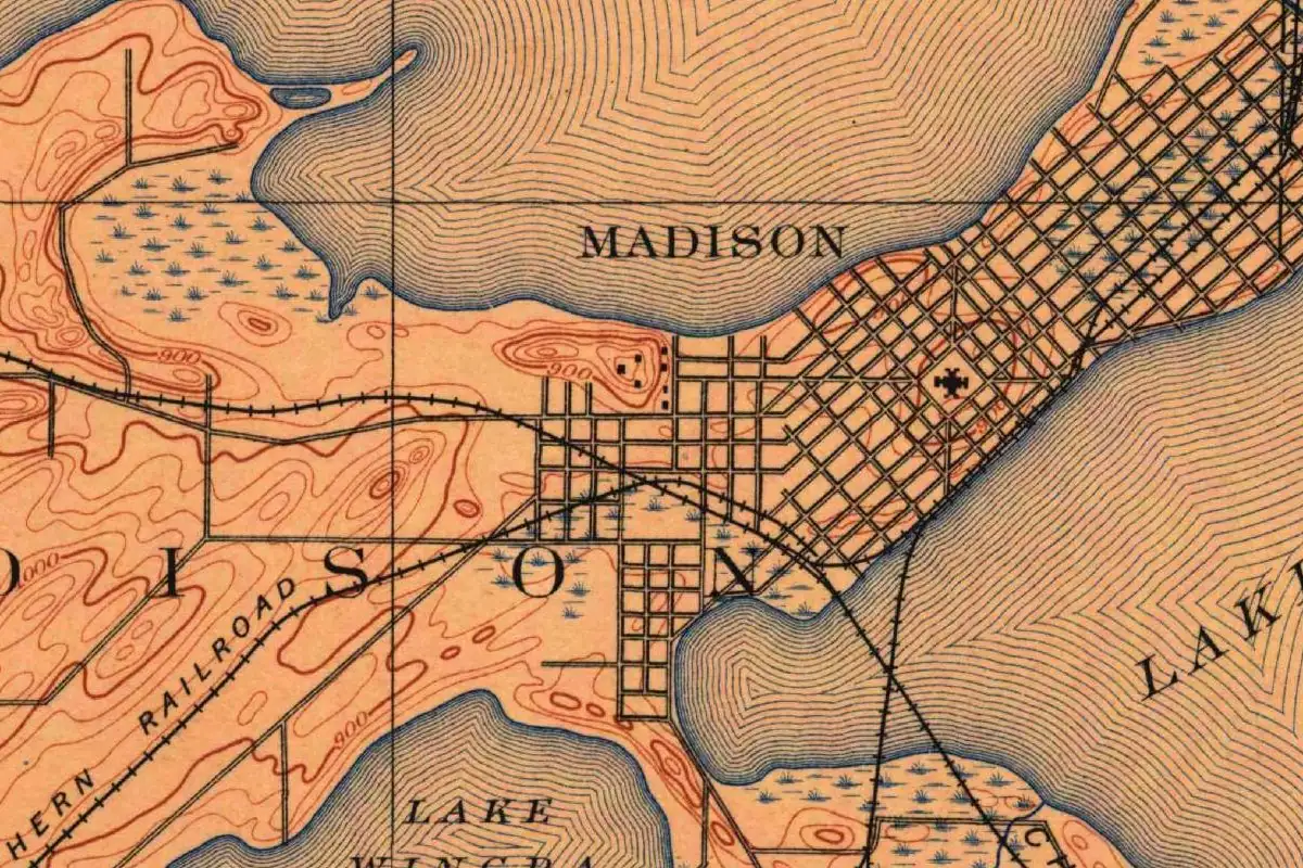
K. Estabrook, writing from Omaha in March 1872, passed along what he’d heard from “Governor Doty,” the same Doty who laid out Madison. Back when Doty was a territorial judge traveling by canoe from Green Bay to Prairie du Chien, “one of his stopping places was the trading post of a Frenchman named Barabeau at the mouth of the river now known as the Baraboo, that the river took its name from this trader.”
James G. Soulard wrote from Galena that May about a Pierre Baribeau he’d known as a boy in St. Louis, a carpenter who worked for his father. He called him “a truthful and remarkably honest man,” a native of Montreal or close by, and thought Baribault most likely went to Wisconsin “in 1800 or before.” Cole, for his part, couldn’t say which of the Baribeau family it was. “Of him we know so little,” he writes, “that he is a veritable man of mystery.”
The chamber of commerce tells the same story today: “Baraboo is named after a French trader and trapper who bartered with the Indians near the mouth of a stream which today bears his name.”
A captain, a catfish and a sturgeon
The trader isn’t the only candidate. Canfield’s 1873 sketch, as Cole quotes it, tells of John de la Ronde, who settled at Fort Winnebago on May 5, 1828, and lived with his Winnebago wife on the Baraboo River six miles (10 km) from Portage. De la Ronde said the river was named for “a Captain Barebeauy, who was in Moran’s expedition against the Indians, and who wintered at the mouth of the stream.”
Others went to the dictionary. Cole reports that Professor Henry of the Smithsonian suggested the French barbue, catfish, or barbeau, carp or sucker, and thought “the transition of Barbue to Baraboo is easy.” William Hill, writing in the History of Sauk County of 1880, traced Baraboo to a French surname. Setting aside “the mythical old Frenchman, ‘Barabeau,’” of local legend, he hinted at real people such as Lieutenant General de la Barre and Colonel Isaac Barre, Cole writes. Hill also read “Riviere a la Barbeau” as “Sturgeon River.” And J. Allen Barber, in the same county history, wondered whether Huron converts of Father Brebeuf had left the priest’s name near the portage, in the form “Brabo or Baraboo.”
The 2014 nomination keeps two of these alive. It calls the source “unclear,” says it’s possibly the surname of a French trapper named Baribeau or Baribault, and gives as an alternative “the Ho-Chunk name for Catfish, which were plentiful in the river.”
What Henry Gannett wrote
Henry Gannett gave Baraboo a short entry in The Origin of Certain Place Names in the United States, which the Geological Survey published in 1905. His entry says the city was “named for Jean Baribault, a French settler.” Then it adds the rival version for the river, from an article by Julia A. Lapham and credited to John De la Rond: a Captain Barabeary, “who was with Morgan’s expedition.” That’s the same captain de la Ronde described, though Cole’s text names the expedition for Moran, not Morgan.
Adams and Baraboo
The town itself started as two. A Baraboo News article of 1906, reprinted by the Sauk County Historical Society, says George Brown arrived in 1842 and that the place was “supposed to owe its name and location to an early French Indian trader named Baribeau, the Indian pronunciation of which gradually led to the present form.” Baraboo became the Sauk County seat in 1846.
According to Cole, Charles O. Baxter made a plat for Prescott Brigham, and Brigham called the place Adams, as he “held John Q. Adams and the Adams family in Massachusetts in great esteem.” (Don’t mix it up with the other Adams in Wisconsin, the Adams County railroad town that started out as South Friendship.) Soon after, George Brown made a plat of his own property “and called it Baraboo.” Much of Brown’s land was south of the river.
On January 14, 1849, Cole writes, the county commissioners ordered both plats to be called Brooklyn, “but the villages continued to be separate.” In 1852, at the suggestion of the postal authorities, Adams was dropped and the post office became Baraboo. A village charter in May 1866 joined the two settlements under that name, and the city’s own history says Baraboo became a city in 1882.
The 1895 Baraboo sheet
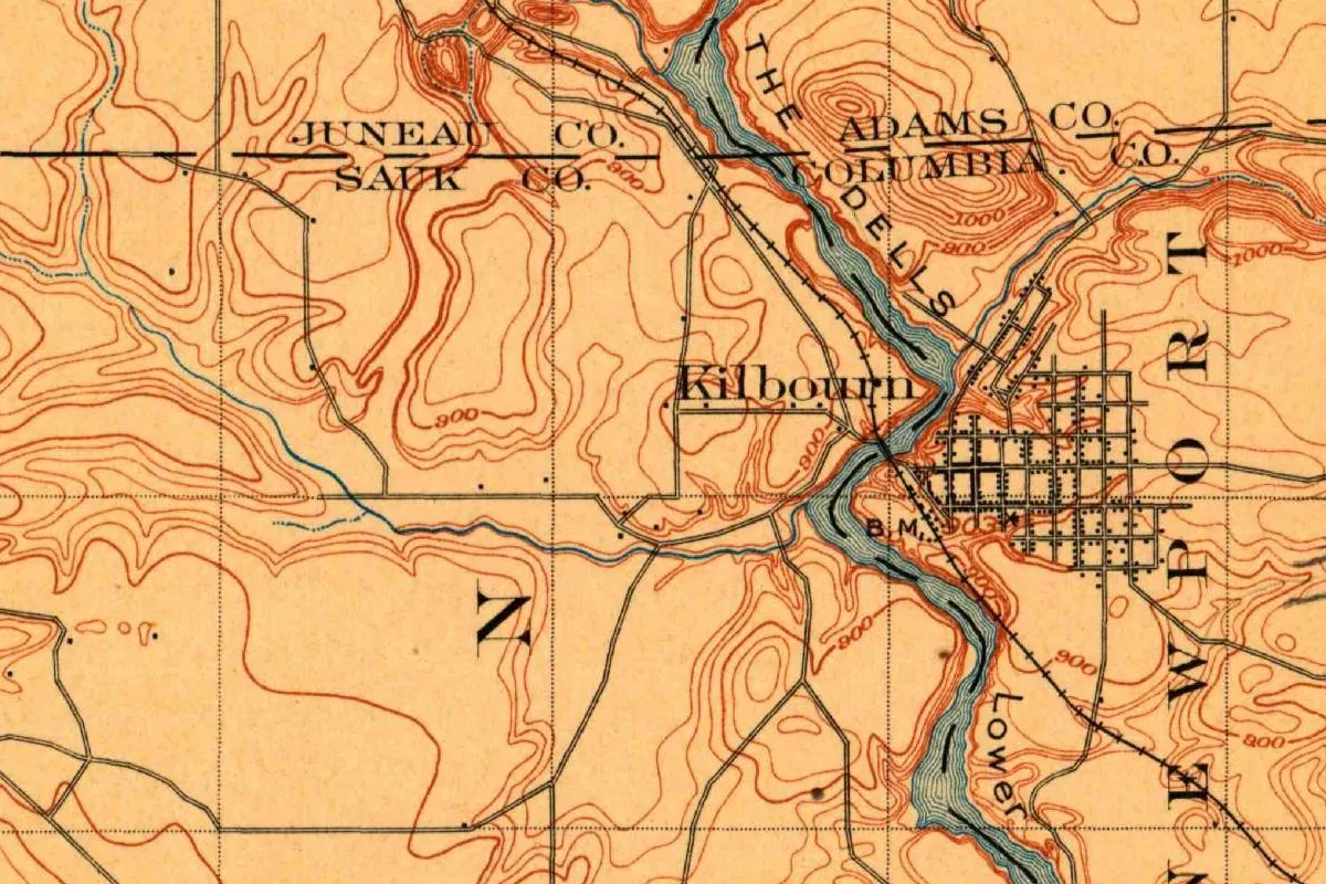
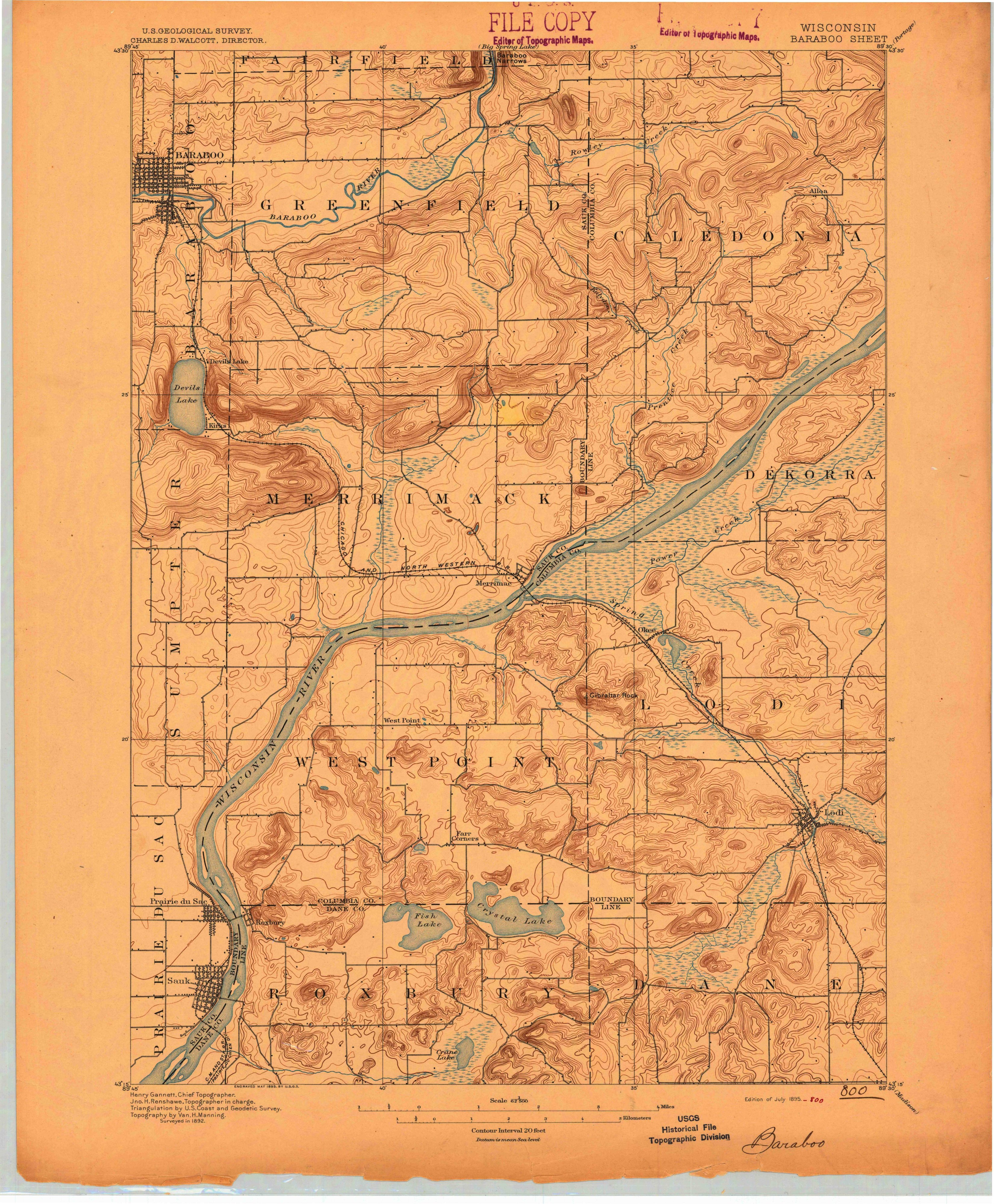
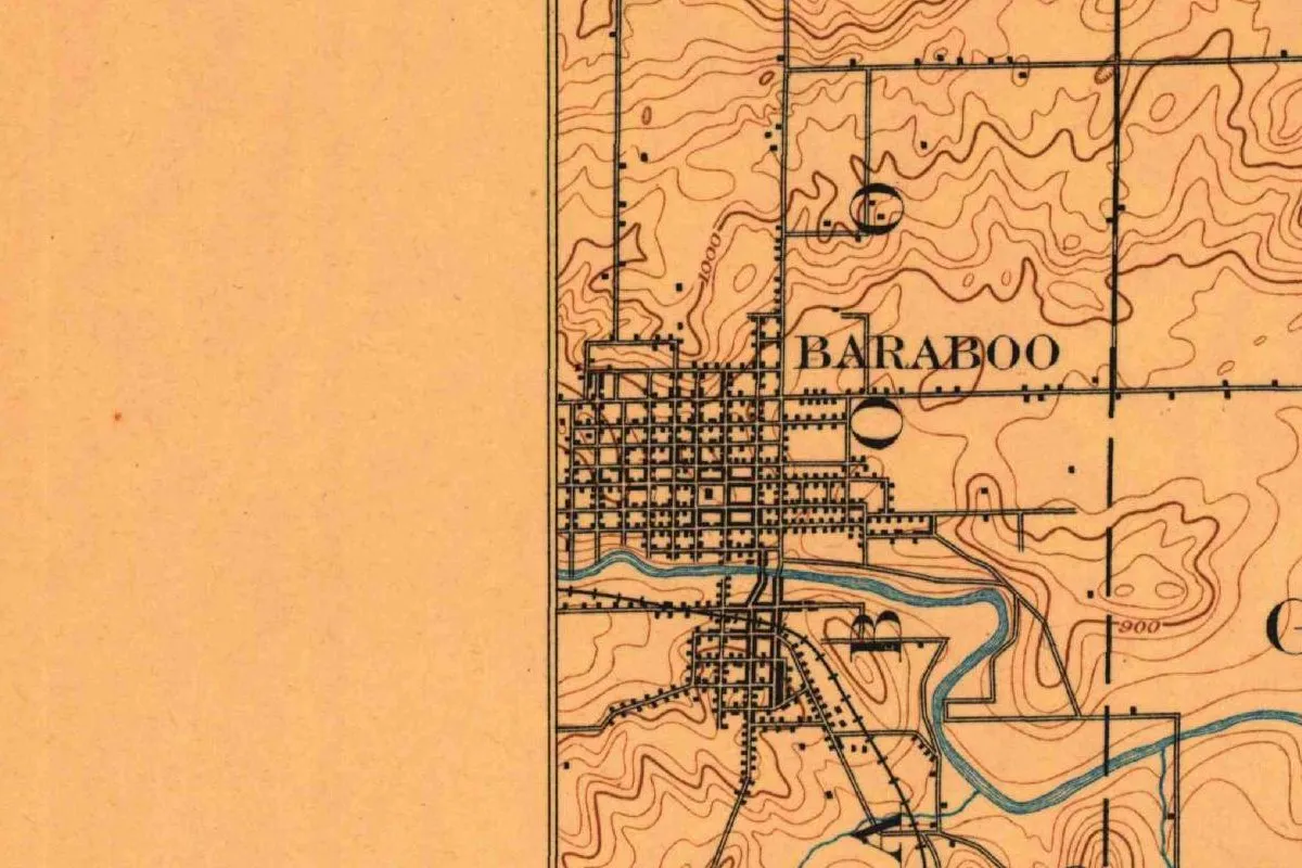
The map at the top of this page comes from the Geological Survey’s Baraboo sheet, engraved in May 1895. Look at the bottom margin and you’ll find “Henry Gannett, Chief Topographer,” the same Gannett who later printed the Baribault entry. The sheet says the ground was surveyed in 1892. Its crop shows a tight street grid labeled BARABOO north of the blue river, a smaller grid and railroad lines south of it, and brown contours marked 1000 and 900.
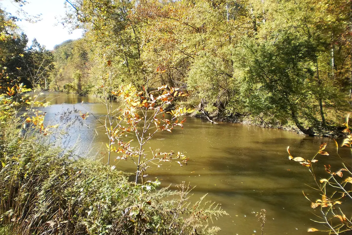
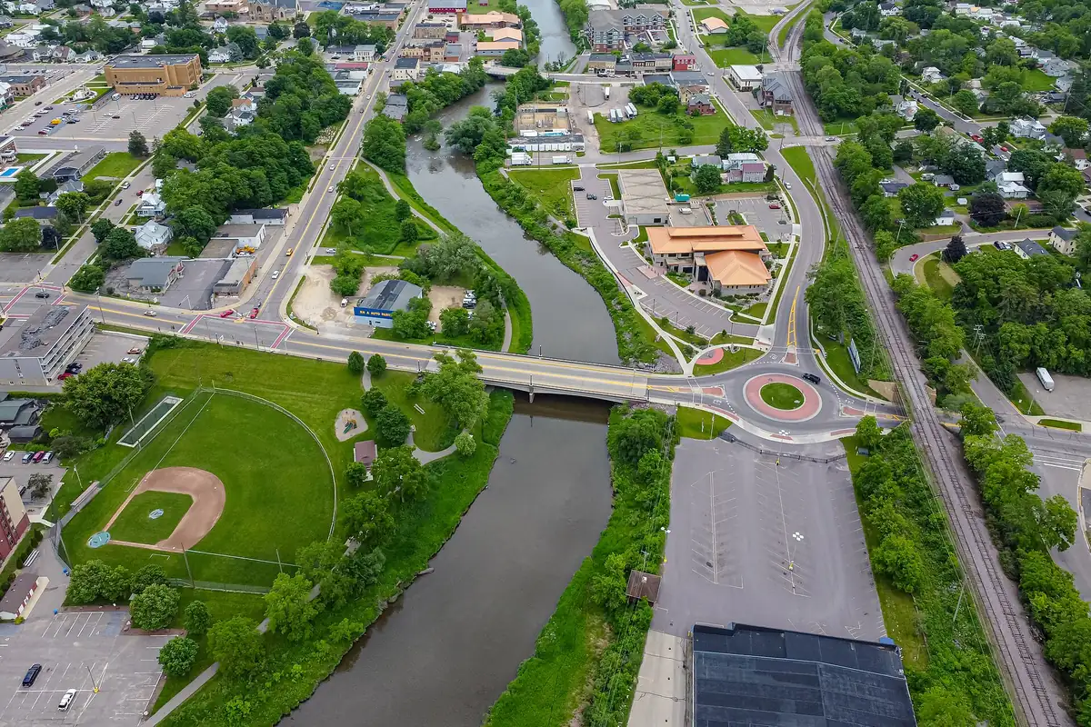
The photo below shows the same river from the air in 2024.
Quick answers
Who is Baraboo, Wisconsin, named after?
Nobody knows for sure. The city is named for the Baraboo River, and most early accounts trace the river’s name to a French trader called Baribeau or Baribault. Others suggested a Captain Barebeauy or a French word for a fish.
What does Baraboo mean?
It isn’t settled. Cole (1912) reports the French barbue, catfish, and barbeau, carp or sucker, as guesses, and a 2014 nomination mentions a Ho-Chunk name for catfish. Cole gives the Winnebago name of the river as Ocoochery, “plenty of fish.”
What was Baraboo called before?
Part of it was Adams. Prescott Brigham’s plat, on the north side of the river, was called Adams until the name was dropped in 1852, according to Cole and the 2014 nomination, and in 1849 the county commissioners ordered both plats to be called Brooklyn.
When did the river first appear as Baraboo on a map?
In 1844, according to Canfield as quoted by Cole, on Morse & Brees’ map of Wisconsin. Cole’s own list, though, includes a state map dated 1840 with a question mark that already reads Baraboo.
Key dates
- 1828John de la Ronde settles at Fort Winnebago; he later says the river was named for a Captain Barebeauy, Cole reports.
- 1830Farnam's map of the Michigan and Ouisconsin territories calls the river Bonibeau's Creek.
- 1842George Brown arrives and enters the site of the future city, according to the 1906 Baraboo News account.
- 1844Morse & Brees' map of Wisconsin is the first to call the river Baraboo, according to Canfield as quoted by Cole.
- 1846Baraboo becomes the Sauk County seat.
- 1849County commissioners order the Adams and Baraboo plats to be called Brooklyn, Cole writes.
- 1852At the postal authorities' suggestion, the name Adams is dropped and the post office becomes Baraboo.
- 1866A village charter unites the two settlements under the name Baraboo.
- 1872Letters from Brisbois, Estabrook and Soulard tie the river's name to a trader called Baribaut, Barabeau or Baribeau.
- 1912H. E. Cole publishes his study of Sauk County place names and calls the trader a veritable man of mystery.
Things to do in Baraboo, Wisconsin
Circus World
A Wisconsin Historical Society site on 64 acres (26 ha) with what it calls the world's largest collection of historic circus wagons and seven National Historic Landmark structures that were once the Ringling Bros. Circus winter home.
Devil's Lake State Park
Quartzite bluffs 500 feet (152 m) high overlook a 360-acre (146 ha) lake, with nearly 30 miles (48 km) of hiking trails, beaches and paddling. The park sits along the Ice Age National Scenic Trail.
International Crane Foundation
The foundation's headquarters in Baraboo says it is the only place in the world with all 15 crane species. You can visit the birds, walk the nature trails and learn about its conservation work.
Sauk County Historical Museum
The Sauk County Historical Society's museum has been in the Van Orden Mansion since 1939. The house was finished in 1904 and keeps original woodwork, wall coverings and light fixtures, plus over a century of donated artifacts.
Parfrey's Glen State Natural Area
Wisconsin's first State Natural Area is a gorge cut into the south flank of the Baraboo Hills. Floods destroyed the old boardwalk, so hikers now follow the rocky creek bed on a 1.6-mile (2.6 km) round trip.
Getting there
Open Baraboo in Google Maps
Opens in a new tab. The pin is the center of Baraboo in the USGS place-name record.
The closest airports, Amtrak stations and intercity bus stops, measured in a straight line from the center of Baraboo.
Airports
- Dane County Regional/Truax Field (MSN) Madison 31 mi 49 km
- La Crosse Regional (LSE) 81 mi 130 km
- General Mitchell International (MKE) Milwaukee 100 mi 161 km
Amtrak trains
- Wisconsin Dells station (WDL) 11 mi 17 km
- Portage station (POG) 15 mi 24 km
Intercity buses
- Jefferson Lines Wisconsin Dells 9 mi 14 km
- FlixBus Wisconsin Dells Commerce Street 9 mi 14 km
- Van Galder (Coach USA) 250 N. Lake St - Madison UW Campus 33 mi 53 km
Distances are as the crow flies, not by road. We don't list schedules or fares because they change; check with the airline, Amtrak or the bus company before you go. Official data (FAA commercial service airports (2025), FAA airport locations, Amtrak stations and Intercity Bus Atlas) from the FAA and the U.S. Bureau of Transportation Statistics, checked Nov 16, 2026.
Sponsored
Staying in Baraboo?
Compare hotels in Baraboo, Wisconsin, on Expedia.
See hotels in BarabooWe may earn a commission if you buy through this link. It never changes what we write. Read our affiliate disclosure
Historical Sources & References
- H. E. Cole, Baraboo and Other Place Names in Sauk County, Wisconsin (1912), pp. 7-17. The opening question, Canfield’s account of de la Ronde and the old maps (pp. 7-8), the Ocoochery name (p. 8), Professor Henry’s barbue and barbeau (p. 9), Hill’s “Sturgeon River” (p. 10), Brebeuf (p. 11), the 1872 letters from Brisbois, Estabrook and Soulard, with the trading post about 12 miles (19 km) west of the portage (pp. 13-15), and “a veritable man of mystery” (p. 17). Checked against the page images.
- H. E. Cole, Baraboo and Other Place Names in Sauk County, Wisconsin (1912), pp. 19-20. The Adams and Baraboo plats, the 1849 Brooklyn order, the 1852 post office change and the 1866 village charter.
- Henry Gannett, The Origin of Certain Place Names in the United States, 2nd ed. (1905), p. 36. “Named for Jean Baribault, a French settler,” and the Captain Barabeary version with “Morgan’s expedition.” Checked against the page image.
- E. D. Jackson, “George Brown and the Founding of Baraboo,” Baraboo News, August 9, 1906 (Sauk County Historical Society). George Brown’s arrival in 1842 and the trader named Baribeau.
- National Register of Historic Places, Downtown Baraboo Historic District nomination (2014), section 8, p. 2. The source of the name called “unclear,” the trapper Baribeau or Baribault, the Ho-Chunk catfish alternative, the river named before 1839 and the county seat in 1846.
- Baraboo Area Chamber of Commerce, “Community History”. The French trader and trapper, and the name passing from the river to the hills, the city and the town.
- City of Baraboo, “History of Baraboo”. The county seat in 1846, the village in 1866 and the city in 1882.
- Circus World; Devil’s Lake State Park; International Crane Foundation; Sauk County Historical Society; Parfrey’s Glen State Natural Area. The details in the things-to-do list.
- GNIS feature 1561152 (U.S. Geological Survey). Baraboo’s row in the Survey’s names database, with Sauk County and the coordinates used here.
- U.S. Geological Survey, Baraboo sheet (1895). The 1:62,500 map, edition of July 1895, that the image at the top of this page was cropped from, with Henry Gannett’s name in the margin.
Sponsored
Put this 1895 map on your wall
The 1895 USGS Baraboo sheet is in the public domain. Download the full-size scan for free, then have it printed on canvas with CanvasOnTheCheap.
Print a map on canvasDownload the full-size mapWe may earn a commission if you buy through this link. It never changes what we write. Read our affiliate disclosure
Spot something wrong, or know more? Tell us here. You can also email us or use our contact page. Corrections are noted here with their date, never made silently.