Soule Park Was Pingree Park Until 2026

Pingree Park, a mountain valley west of Fort Collins, Colorado, became Soule Park in 2026, after the officer who wouldn’t let his men fire at Sand Creek. The federal board made the change on March 12, 2026. The old name honored George Pingree, a scout at the Sand Creek Massacre of 1864. The new one honors Capt. Silas Soule.
A valley on the South Fork
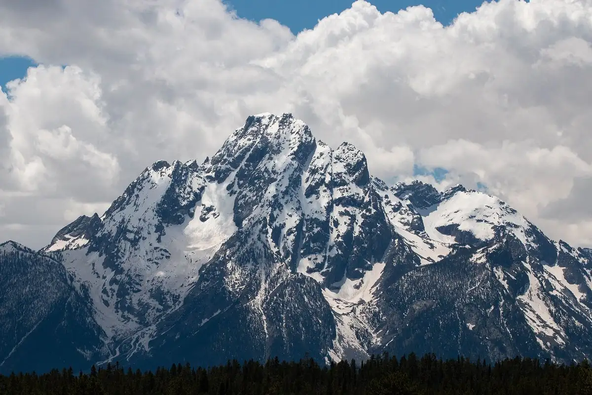
The board’s file calls Soule Park a valley and lists it as a flat of about 370 acres (150 hectares). It lies along the South Fork of the Cache la Poudre River, 3 miles (4.8 km) north-northwest of the Stormy Peaks, on land owned partly by private owners and partly by Colorado State University, whose Mountain Campus sits at the north end.
Who was George Pingree?
George Pingree rode as a scout under Col. John Chivington at Sand Creek, in eastern Colorado. On the morning of November 29, 1864, the National Park Service says, about 750 Cheyenne and Arapaho people were camped by Big Sandy Creek, some 40 miles (64 km) north of Fort Lyon, hoping for peace, when soldiers attacked. The board’s file quotes an interview printed in Fort Collins Yesterdays, a 1957 local history, which says Pingree scalped thirteen people there. In his own words:
A little time after that I came to Denver. I didn’t see what use I had for those thirteen scalps, so I traded them to a barber who promised to cut my hair and shave me whenever I was in town for years.
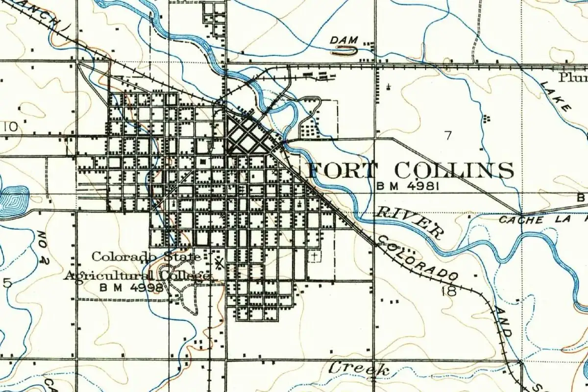
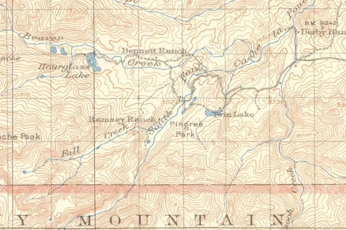
Pingree later settled in northern Colorado. By 1868 he had a tie camp in the valley, cutting wood for railroad ties, and the valley took his name. A newspaper, The Coloradoan, says he trapped in the area after the massacre. The 1916 Geological Survey map at the bottom of this page shows the name already in place.
Who was Silas Soule?
Silas Soule (1838–1865) joined the cavalry in 1862 and was made a captain in 1864. With Maj. Wynkoop, he was in charge at Fort Lyon, and the two men wanted the tribes in Colorado treated fairly. At Sand Creek, Soule ordered the troops under his command to stay out of the attack. The board’s file quotes him:
My [company] was the only one that kept their formation, and we did not fire a shot.
Soule later testified against Chivington at the military investigation. In July 1865, a soldier shot and killed him, possibly in revenge for that testimony. When the board reviewed the proposal in 2023, no geographic feature in Colorado was named Soule. That September, the board had considered Mount Soule as a new name for Mount Evans but picked Mount Blue Sky instead.
How Pingree Park became Soule Park
The first change came on the campus. In 2015, Colorado State University renamed its Pingree Park Mountain Campus as simply the Mountain Campus. The director of the university’s Native American Cultural Center called it “a healing and an awakening for all who learn at and experience the mountain campus, particularly Native youth and Native CSU students.”
In August 2023, Bear Jack Gebhardt of Fort Collins, for a group called the No Pingree Task Force, asked the federal board to rename both Pingree Park and Pingree Hill, a summit 11.5 miles (18.5 km) to the north-northeast. The group said it wanted “to honor Soule for his courage on the battlefield and for daring to speak the truth during the military investigation.”
Larimer County’s commissioners backed the change, writing that the acts of “George Pingree, Col. John Chivington and those soldiers who followed orders during the Sand Creek Massacre . . . are a tragedy and no longer have present-day local acceptance.” The chair of the county board pointed to a 1911 Denver Post article in which Pingree described the massacre as “the most thrilling event of his life.” On March 12, 2026, the U.S. Board on Geographic Names approved Soule Park and Soule Hill, so if you look at a federal map today, you’ll find Soule’s name in both places.
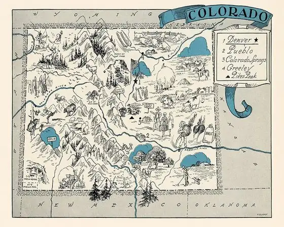
Fort Collins is the nearest city with a name story on our site, and our Colorado page tells how the state got its name.
Quick answers
Why was Pingree Park renamed?
George Pingree took part in the Sand Creek Massacre of 1864 and later bragged about the scalps he took. Local residents asked to replace his name, Larimer County supported it, and the federal board approved Soule Park on March 12, 2026.
Who is Soule Park named for?
Capt. Silas Soule (1838–1865), who kept his company from firing at Sand Creek, testified against Col. John Chivington and was killed in 1865.
Is Colorado State University’s Pingree Park campus renamed too?
Yes, the campus changed first. Colorado State University dropped Pingree from its Mountain Campus name in 2015, years before the federal board renamed the valley.
Key dates
- 1864Capt. Silas Soule keeps his company from firing at the Sand Creek Massacre. George Pingree rides as a scout.
- 1865Soule testifies against Col. John Chivington and is shot dead in July.
- 1868By this year, Pingree runs a tie camp in the valley that will carry his name.
- 1916A Geological Survey map labels the valley Pingree Park.
- 2015Colorado State University drops Pingree Park from the name of its Mountain Campus.
- 2023August: the No Pingree Task Force asks the federal board to rename the valley for Soule.
- 2026March 12: the federal board approves Soule Park and Soule Hill.
Find it in Google Maps
Opens in a new tab. The pin is a point from the USGS place-name record, so it may not be the middle of the area.
Sponsored
Planning a visit?
Compare hotels in the area on Expedia.
See hotels nearbyWe may earn a commission if you buy through this link. It never changes what we write. Read our affiliate disclosure
Historical Sources & References
- U.S. Board on Geographic Names, Quarterly Review List 453 (2023). The proposals to rename Pingree Park and Pingree Hill, the feature’s size and location, the quotations from Fort Collins Yesterdays, Soule, the task force, Larimer County and Colorado State University, the 1868 tie camp, the 1911 Denver Post article and the Mount Soule proposal.
- U.S. Board on Geographic Names, Action List. Soule Park and Soule Hill approved on March 12, 2026.
- National Park Service, Sand Creek Massacre National Historic Site, “History & Culture”. The date of the massacre, November 29, 1864, and the camp of about 750 Cheyenne and Arapaho people by Big Sandy Creek, 40 miles north of Fort Lyon.
- GNIS feature 177312, Soule Park (U.S. Geological Survey). The official GNIS entry for the valley.
Sponsored
Gear up for your next road trip
Explore rooftop tents, vehicle awnings and outdoor gear from TOPOAK Overland.
Shop TOPOAK overlanding gearWe may earn a commission if you buy through this link. It never changes what we write. Read our affiliate disclosure
Spot something wrong, or know more? Tell us here. You can also email us or use our contact page. Corrections are noted here with their date, never made silently.