White Sands National Park: History and Visiting
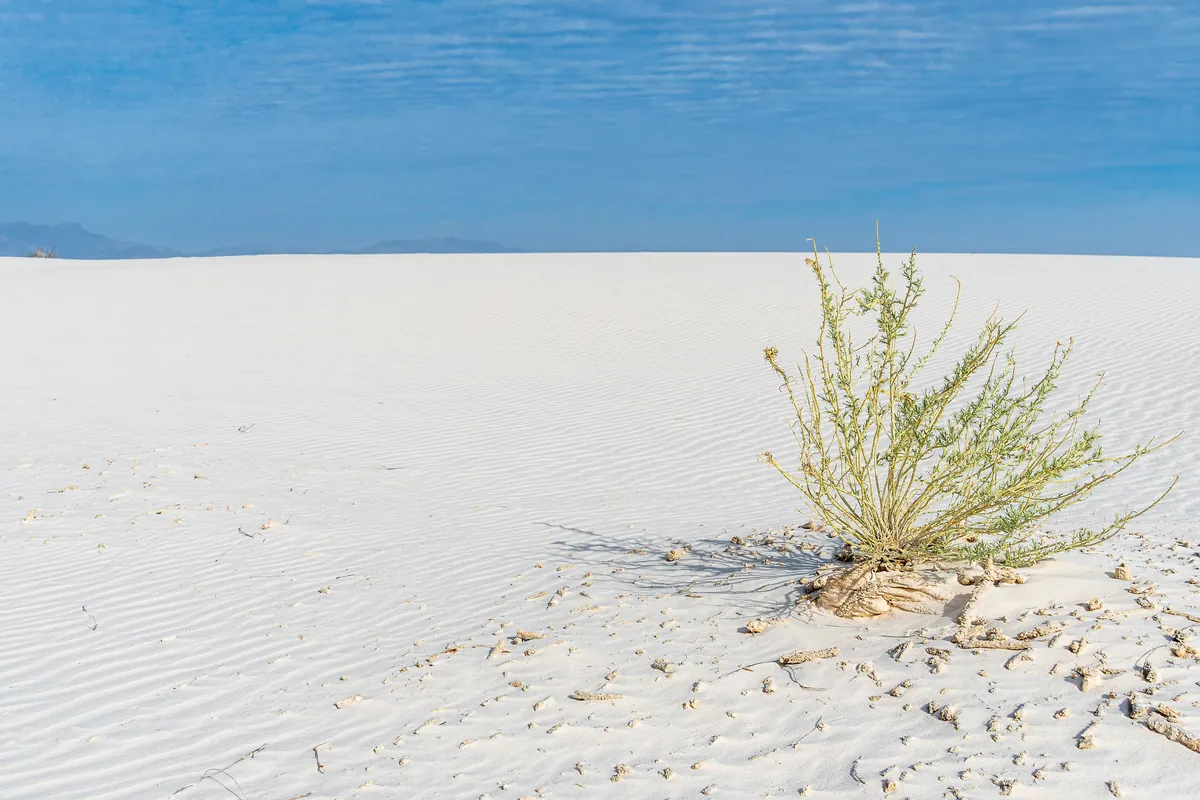
White Sands National Park is named for exactly what you see there, and the white isn’t ordinary beach sand: the dunes are made of gypsum. Gypsum is the mineral people once tried to dig here for plaster of Paris, and the wind has piled it into hills. The name was a plain local description long before it became the name of a national monument, and it took two steps, in 1933 and 2019, to get from that to a national park.
White Sands National Park History
Hispanic families crossed the Tularosa Basin in 1861 to found the farming town of Tularosa, and La Luz followed two years later. Michael Welsh’s 1995 history of the monument for the Park Service says those villages were the first to use the dunes. People wet the sand and spread it on their adobe walls to turn back the summer sun, which also made the houses look white from far off. The basin’s own name, he adds, comes from the Spanish tulare, a red weed.
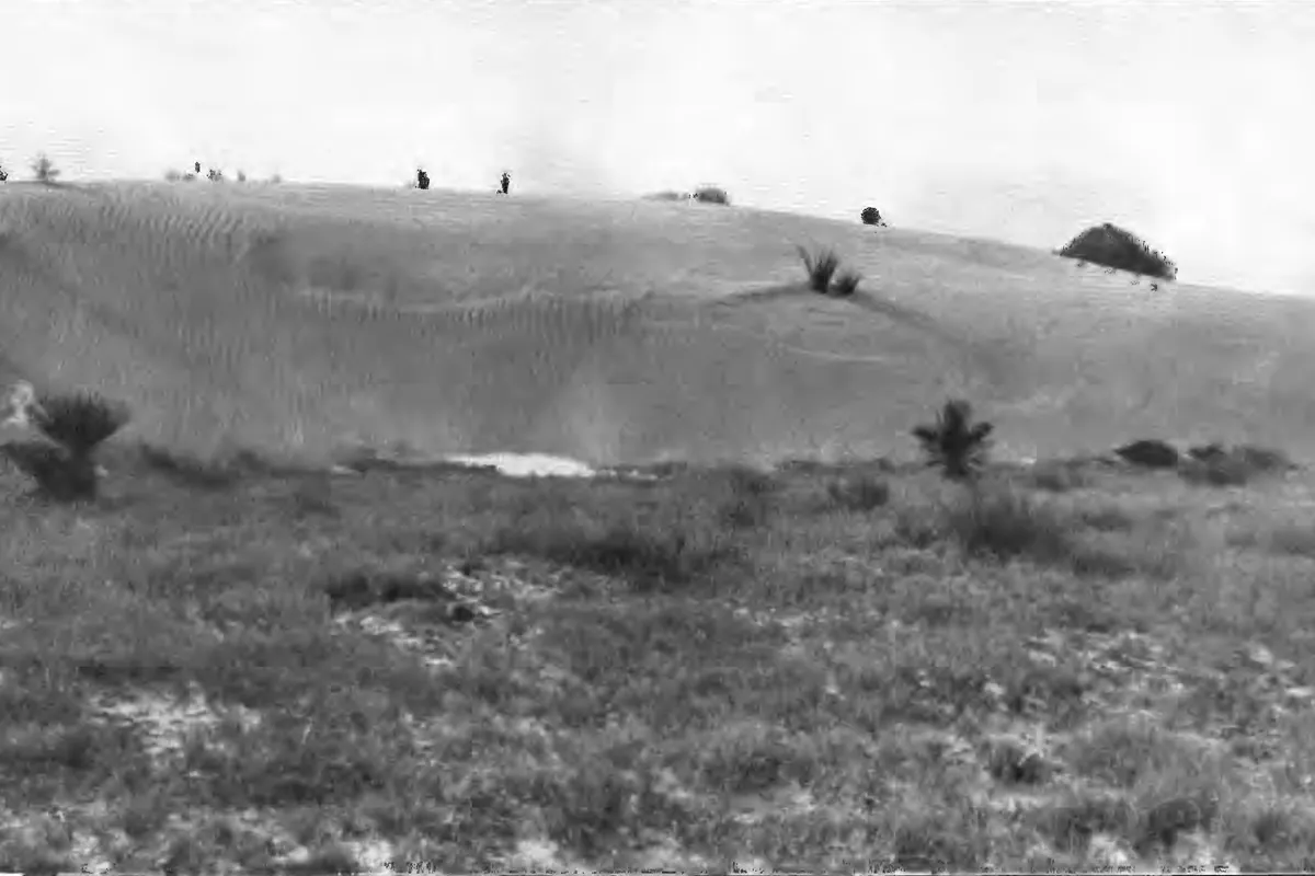
The Geological Survey studied the basin in 1911 and 1912. Its report, by O. E. Meinzer and R. F. Hare, came out in 1915, and it lists “the White Sands Plain” among the names already used for the region. It also explains the color. In most places the wind moves quartz sand, the report says, but here gypsum is so common at the surface that it matters more. The white sands, it says, “are composed of the broken gypsum crystals” torn from the big alkali flat by storm winds, and at the eastern edge the dunes stop sharply, “like a snow bank.” The photo at the bottom of this page is one of that report’s plates.
The Park Service explains where all that gypsum came from. Long ago a shallow sea left thick gypsum layers in the rock of the surrounding mountains. Rain and snowmelt later carried dissolved gypsum down into Lake Otero, an Ice Age lake of about 1,600 square miles (4,100 km²). As the lake dried, the low ground became Alkali Flat and Lake Lucero, and selenite crystals grew there. Wind broke them into the fine white grains that form the dunes. A 2025 Geological Survey fact sheet calls this the largest gypsum dune field in the world.
Scientists had noticed the dunes early: the Park Service says the first research on them appeared in journals in 1870. Protecting them took longer. Welsh says a 1922 bill for a park on Mescalero land would have taken in the “White Sands or Gypsum Hills of Otero County.” The Park Service calls Tom Charles, an Alamogordo businessman, the local “father” of White Sands. He wasn’t the first to propose it, but he lobbied hard, and by 1928, Welsh says, he was calling the route out to the dunes the “White Sands road.”
President Herbert Hoover proclaimed White Sands National Monument on January 18, 1933, in his last weeks in office. Proclamation No. 2025 set the land apart “for the preservation” of “the white sands and additional features of scenic, scientific, and educational interest.” The Park Service says the monument covered 142,987 acres. More than 4,000 people came to the opening ceremony on April 29, 1934, and the Works Progress Administration finished the visitor center and other buildings in 1938.
The military moved in around it during World War II. The Park Service says a bombing and gunnery range was set up nearby in 1942, and the White Sands Proving Ground in 1945. That was later renamed White Sands Missile Range, and the Park Service says both military sites still work along the park’s boundaries.
The last step came on December 20, 2019, through the defense spending bill for 2020. It created White Sands National Park, declared that “the Monument is abolished,” and said any old reference to White Sands National Monument now means the park.
Visiting White Sands National Park
You can sled on the dunes. The Park Service recommends waxed plastic snow saucers, which the park’s gift shop rents and sells, though you can bring your own. Pick a dune with a gentle slope and a flat runout, sit or lie with your feet pointing downhill, and watch the bottom: the ground where a dune meets the flat can be very hard, and the park says injuries there happen more than you’d expect. Sledding isn’t allowed near the interdune boardwalk.
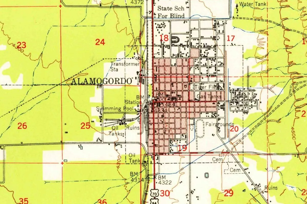
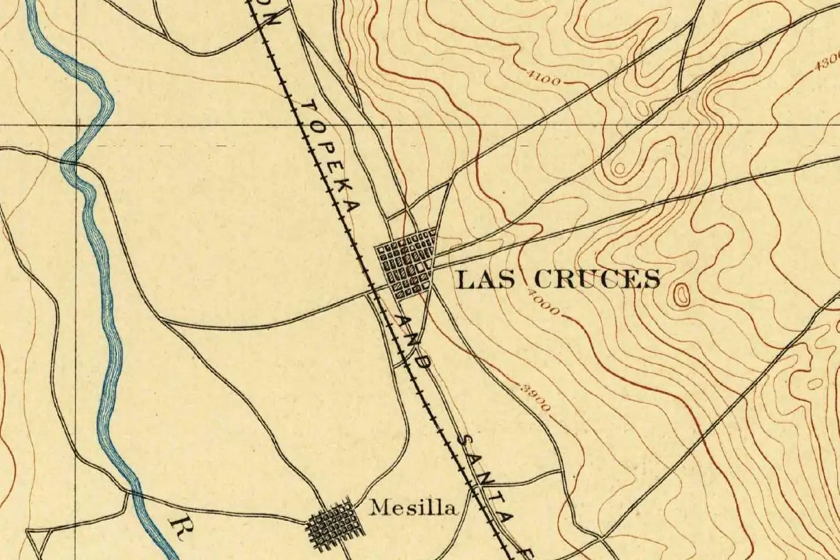
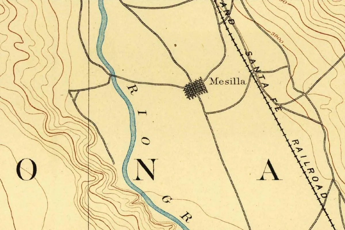
East of the park is Alamogordo, whose Spanish name means a big, or “fat,” cottonwood. Its White Sands Boulevard used to be Pennsylvania Avenue. Southwest across the mountains is Las Cruces, “the crosses” in Spanish, and nobody has settled which crosses those were.
Quick answers
Why Is White Sands National Park White?
Because the dunes are gypsum, not quartz. The Park Service says the grains come from selenite crystals that form on Alkali Flat and Lake Lucero and are broken down by wind.
What Was White Sands National Park Called Before?
It was White Sands National Monument between 1933 and 2019. A 1915 Geological Survey report also lists “the White Sands Plain” among names in use for the area.
When Was White Sands Established?
The monument was proclaimed on January 18, 1933, by President Herbert Hoover. It became White Sands National Park on December 20, 2019.
Can You Go Sand Sledding at White Sands?
Yes. The Park Service recommends waxed plastic snow saucers, sold or rented at the park’s gift shop. Choose a gentle slope and stay away from the interdune boardwalk area.
Key dates
- 1861Hispanic families found Tularosa; villagers there and at La Luz use the white sand on their adobe walls, Welsh writes.
- 1870The first scientific research on the dunes appears in print, the Park Service says.
- 1915A Geological Survey report lists "the White Sands Plain" among names for the region and describes the gypsum dunes.
- 1933January 18: President Herbert Hoover proclaims White Sands National Monument.
- 1934April 29: more than 4,000 people come to the monument's opening ceremony.
- 2019December 20: a defense bill turns the monument into White Sands National Park.
Find it in Google Maps
Opens in a new tab. The pin is a point from the USGS place-name record, so it may not be the middle of the area.
Sponsored
Planning a visit?
Compare hotels in the area on Expedia.
See hotels nearbyWe may earn a commission if you buy through this link. It never changes what we write. Read our affiliate disclosure
Historical Sources & References
- National Park Service, “Original 1933 Enabling Legislation”. Proclamation No. 2025 of January 18, 1933 (47 Stat. 2251): a monument “for the preservation” of “the white sands and additional features of scenic, scientific, and educational interest.”
- National Park Service, “Establishment of White Sands National Park”. December 20, 2019; 133 Stat. 1895; “the Monument is abolished”; old references to the monument count as references to the park.
- National Park Service, “White Sands National Park History”. First research published in 1870; Tom Charles, the local “father” of White Sands; 142,987 acres; the opening on April 29, 1934, with over 4,000 people; WPA buildings finished in 1938; the 1942 range and the 1945 proving ground, later White Sands Missile Range. This page gives the proclamation as 47 Stat. 2551; the proclamation page gives 2251.
- National Park Service, “Geology of White Sands”. The Permian Sea; Lake Otero, about 1,600 square miles; Alkali Flat, Lake Lucero and selenite crystals broken down by wind.
- O. E. Meinzer and R. F. Hare, Water-Supply Paper 343 (1915). “The White Sands Plain” among the region’s names; gypsum more important than quartz as wind-blown sand there; the white sands “composed of the broken gypsum crystals”; the edge “like a snow bank”; fieldwork in 1911 and 1912; Plate XII, the photo at the bottom of this page, a federal work in the public domain.
- Michael Welsh, Dunes and Dreams (1995). Tularosa named for tulare, “red weed”; Tularosa (1861) and La Luz using the sand on adobe walls; the 1922 bill’s “White Sands or Gypsum Hills of Otero County”; Tom Charles’s “White Sands road”; the plaster of Paris mill Milner and Fetz built by 1907.
- USGS Fact Sheet 2025-3046. The largest gypsum dune field in the world, made from Lake Otero’s sediments by wind.
- National Park Service, “Sledding”. Waxed plastic snow saucers, rented or sold at the gift shop; gentle slopes, feet first, hard ground at the base; no sledding near the interdune boardwalk.
- GNIS feature 914261, White Sands National Park (U.S. Geological Survey). The park’s entry in the federal place-names database, the identifier Wikidata gives for it.
Spot something wrong, or know more? Tell us here. You can also email us or use our contact page. Corrections are noted here with their date, never made silently.