Monument Valley: A Navajo Name and an English One
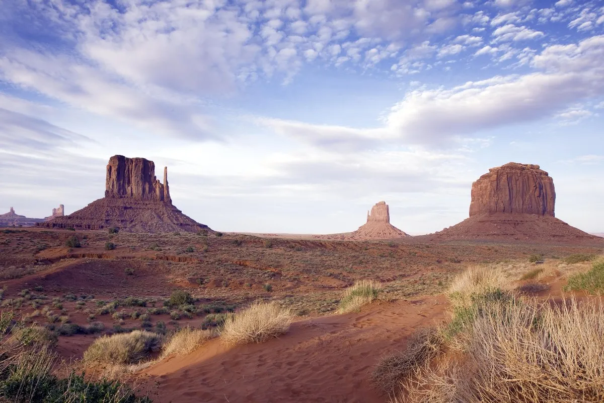
Monument Valley is named for its towering sandstone “monuments,” but nobody has found who first called it that, and the Navajo Nation uses its own name. The buttes are so famous that the name seems obvious. Its history isn’t.
Why Is It Called Monument Valley?
The plain answer is the rocks. In 1916 the geologist Herbert Gregory described the valley for the U.S. Geological Survey. He saw it as a triangle, with the San Juan River on the north, the Segi Mesas on the west and Comb Ridge closing the third side. Its most striking features, he said on page 48 of The Navajo Country, were the “monuments,” some rising close to 1,000 feet over the valley floor. He still put the word in quotation marks.
That’s the gap you run into. Neither Gregory nor any other source we opened identifies who coined the name Monument Valley, or in what year. The federal records for both the Utah and the Arizona sides list it as an official decision of the U.S. Board on Geographic Names in 1915, so the name was settled by then, not where it started.
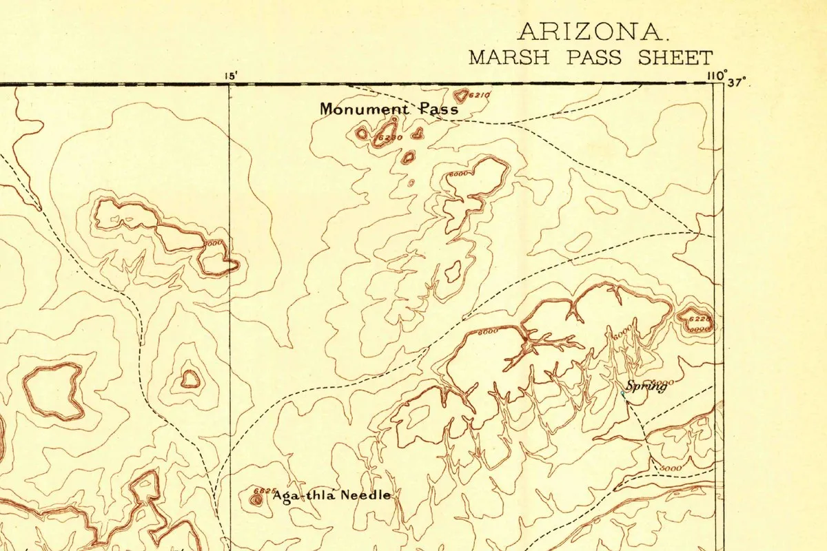
The oldest federal map we found doesn’t use the name at all. The USGS Marsh Pass sheet, surveyed in 1883 under John Wesley Powell, shows the mesas and spires around the valley and prints the name “Monument Pass” beside them, along with the “Aga-thla Needle,” the volcanic spire Gregory later called Agathla. So “monument” was on a federal map of the area, from a survey made 32 years before the board made “Monument Valley” official. Whether the pass gave its name to the valley, or both came from the same rocks, no source says.
What Is the Navajo Name for Monument Valley?
The valley sits inside the Navajo Nation, which runs it as Monument Valley Navajo Tribal Park. The tribe’s park department gives the Navajo name as Tse’Bii’Ndzisgaii but doesn’t translate it. The University of New Mexico’s Tony Hillerman Portal, a reference to the places in Hillerman’s Navajo mysteries, spells the park’s name Tsé Biiʼ Ndzisgaii and translates one piece of it: Tsé Biiʼ, a sandy plain east of Wetherill Mesa inside the park, means “Rock Canyon” in English. We haven’t found a source we trust for the full phrase, so we’ll leave it there.
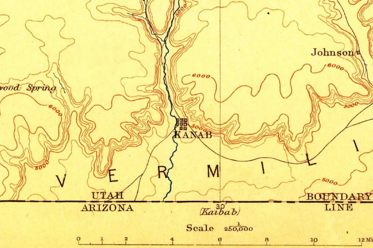
It isn’t the only Native word near here that’s hard to pin down. Farther west in Utah, sources can’t agree on what the word behind Kanab, Utah, which the city calls Paiute, meant: a willow, a spot where willows grow, or a baby basket woven from willow.
Monument Valley History: Hoskaninni’s Valley
For half a century the valley had a ruler of its own. Utah’s state history office says the Navajo leader Hush-Kaaney, written in English as Hoskaninni or Hoskinnini, held it for half a century, from 1862 to his death in 1912, and kept most white visitors out. When soldiers swept the region in 1863, rounding up the Navajos who would make the Long Walk east to Bosque Redondo, his small band slipped away and spent six years hiding near Navajo Mountain. In 1869, the state says, they moved into the heart of the valley as the strongest and richest Navajos around. Hoskinnini Mesa, about 11 miles west of Goulding in San Juan County, Utah, is named for him.
Gregory found no white settlements in the valley in 1916, only trading posts and a government station within reach. Fame came later: the Hillerman Portal says the scenery has turned up in movies since the 1930s, and later in commercials and music videos too.
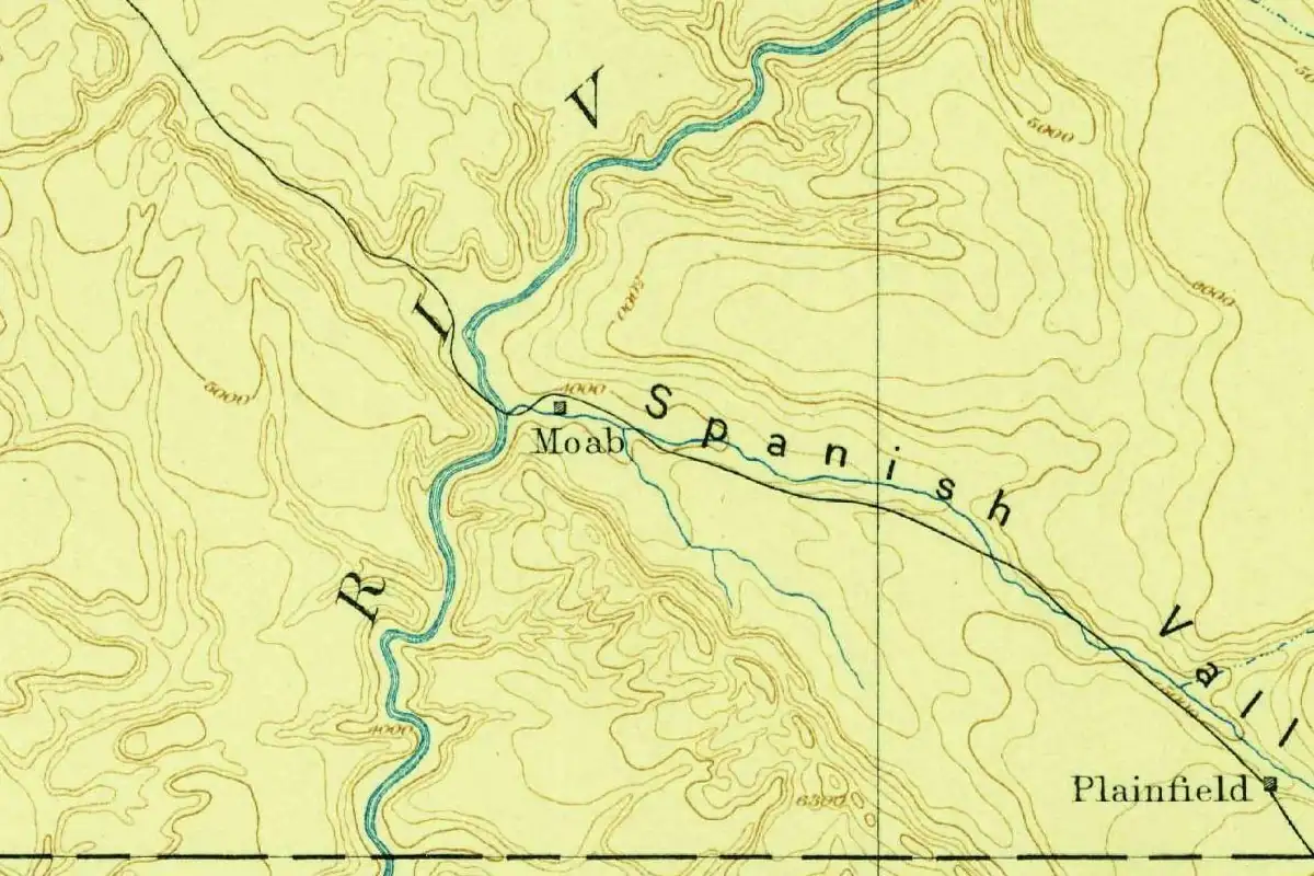
Names around here have been fought over before. North of the valley, in Moab, 59 residents asked the county in 1890 to drop the Bible name an early settler had picked and call the town Vina. They lost.
If you visit, the tribal park’s 17-mile loop road is open, but the park doesn’t allow motorcycles on it. Some places, like Ear of the Wind, can be reached only on a tour with a Navajo guide.
Quick answers
Why is it called Monument Valley?
It’s named for the huge sandstone buttes and spires that stand on the valley floor. A 1916 federal report called them “monuments,” still in quotation marks. No source names whoever first used the name, but the U.S. Board on Geographic Names made Monument Valley official in 1915.
What is Monument Valley called in Navajo?
The Navajo Nation’s park department gives the name as Tse’Bii’Ndzisgaii, without a translation. The University of New Mexico’s Hillerman Portal translates Tsé Biiʼ, a sandy plain inside the park, as “Rock Canyon.” We found no reliable source for the meaning of the whole Navajo name.
Is Monument Valley in Arizona or Utah?
Both. The valley straddles the state line inside the Navajo Nation, and the federal names database keeps one record for each state, both dated to the same 1915 decision. The federal records place the famous Mitten Buttes in Navajo County, on the Arizona side.
Who was Hoskaninni of Monument Valley?
Hoskaninni, or Hush-Kaaney, was a Navajo leader who dominated the valley from 1862 until he died in 1912, according to Utah’s state history office. His band escaped the 1863 roundup by hiding near Navajo Mountain, and Hoskinnini Mesa in San Juan County, Utah, carries his name.
Key dates
- 1862The Navajo leader Hoskaninni begins half a century as the valley's "emperor," in the words of Utah's state history office.
- 1883A USGS survey of the Marsh Pass sheet labels a Monument Pass and the Aga-thla Needle.
- 1912Hoskaninni dies; a mesa west of Goulding, in San Juan County, Utah, is later named for him.
- 1915The U.S. Board on Geographic Names makes Monument Valley official, according to the GNIS records for Utah and Arizona.
- 1916Herbert Gregory's USGS report describes the valley and its "monuments," nearly 1,000 feet high, and pictures Mitten Butte.
- 1930sThe valley's scenery starts turning up in movies, according to the Hillerman Portal.
Find it in Google Maps
Opens in a new tab. The pin is a point from the USGS place-name record, so it may not be the middle of the area.
Sponsored
Planning a visit?
Compare hotels in the area on Expedia.
See hotels nearbyWe may earn a commission if you buy through this link. It never changes what we write. Read our affiliate disclosure
Historical Sources & References
- Navajo Nation Parks & Recreation, “Monument Valley Navajo Tribal Park”. The Navajo name Tse’Bii’Ndzisgaii, with no translation; sandstone formations 400 to 1,000 feet high; the 17-mile loop road, with no motorcycles; Ear of the Wind and similar spots open only to tours with Navajo operators.
- Tony Hillerman Portal, “Tsay-Begi, Arizona”. Tsé Biiʼ as “Rock Canyon,” a sandy plain east of Wetherill Mesa; the park’s Navajo name, Tsé Biiʼ Ndzisgaii.
- Tony Hillerman Portal, “Monument Valley Navajo Tribal Park, Utah”. The park’s Navajo name; the scenery in movies since the 1930s, and in commercials and music videos.
- Herbert E. Gregory, The Navajo Country (USGS Water-Supply Paper 380, 1916). Page 48: the valley’s triangular shape and boundaries, the “monuments” nearly 1,000 feet high, and Agathla; plate XV (facing page 48): Mitten Butte; page 49: no white settlements, with trading posts and a government station at Tyende within reach.
- USGS, Marsh Pass sheet, Arizona (surveyed 1883). The labels “Monument Pass” and “Aga-thla Needle”; Powell as director. The map detail on this page comes from this sheet.
- Utah History to Go, “Hoskaninni”. Hush-Kaaney (Hoskaninni, Hoskinnini) and his hold on the valley, 1862-1912; the 1863 roundup, six years near Navajo Mountain and the move into the valley in 1869; Charles Kelly’s 1939 interview with his son; Hoskinnini Mesa, west of Goulding.
- GNIS feature 1430457, Monument Valley, Utah and GNIS feature 8246, Monument Valley, Arizona. Both record a Board on Geographic Names decision dated 1915. The GNIS file for Arizona also lists East and West Mitten Butte in Navajo County.
- Library of Congress, Carol M. Highsmith, “Monument Valley View, Arizona” (2009). The photo at the top of this page.
Spot something wrong, or know more? Tell us here. You can also email us or use our contact page. Corrections are noted here with their date, never made silently.