Antelope Canyon: The Pronghorn Name and the Navajo Names
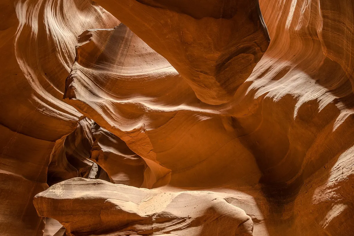
Antelope Canyon is named for herds of pronghorn that once roamed it, the Navajo Nation says, and its upper and lower slots each have a Navajo name. So the place you’ve seen in all those photos of glowing rock walls is named for an animal, not for the rock. It also carries two older names in Diné, the Navajo language, and they describe the rock and the water instead.
Why Is It Called Antelope Canyon?
The explanation comes from the Navajo Nation’s own parks department, which runs the canyon as part of Lake Powell Navajo Tribal Park. Its page on the park says that “a long time ago, herds of pronghorn antelope roamed freely in Antelope Canyon,” and that this is why the canyon has its English name. That’s the whole story the department gives. It doesn’t say who first wrote “Antelope Canyon” down or when, and we haven’t found a record that does.
The Navajo names are a separate matter, and the department lists one for each slot. Upper Antelope Canyon is Tse’bighanilini, which the page translates as “the place where water runs through rocks.” Lower Antelope Canyon is Hasdez’ twazi’. For that one, the page gives the English words “the spiral role arches,” and we’ve left them exactly as printed rather than guess at what was meant. Neither Navajo name has anything to do with antelope.
The federal record is plainer. In the Geological Survey’s gazetteer, entry 20631, Antelope Canyon is simply a valley in Coconino County, Arizona. Nothing there explains the name.
Antelope Canyon History
The same tribal page is careful about what nobody knows: it says it isn’t known exactly when people first found the canyon. Local Navajos, the page says, remember the canyon and the country around LeChee as winter range for cattle. It adds that for older Navajos, going into a place like this was like entering a cathedral, and that they would probably stop first, out of respect.
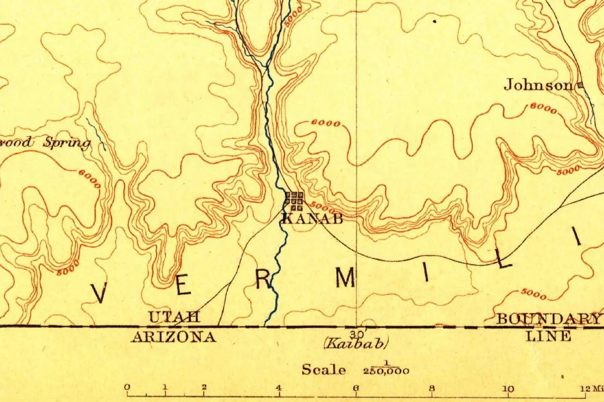
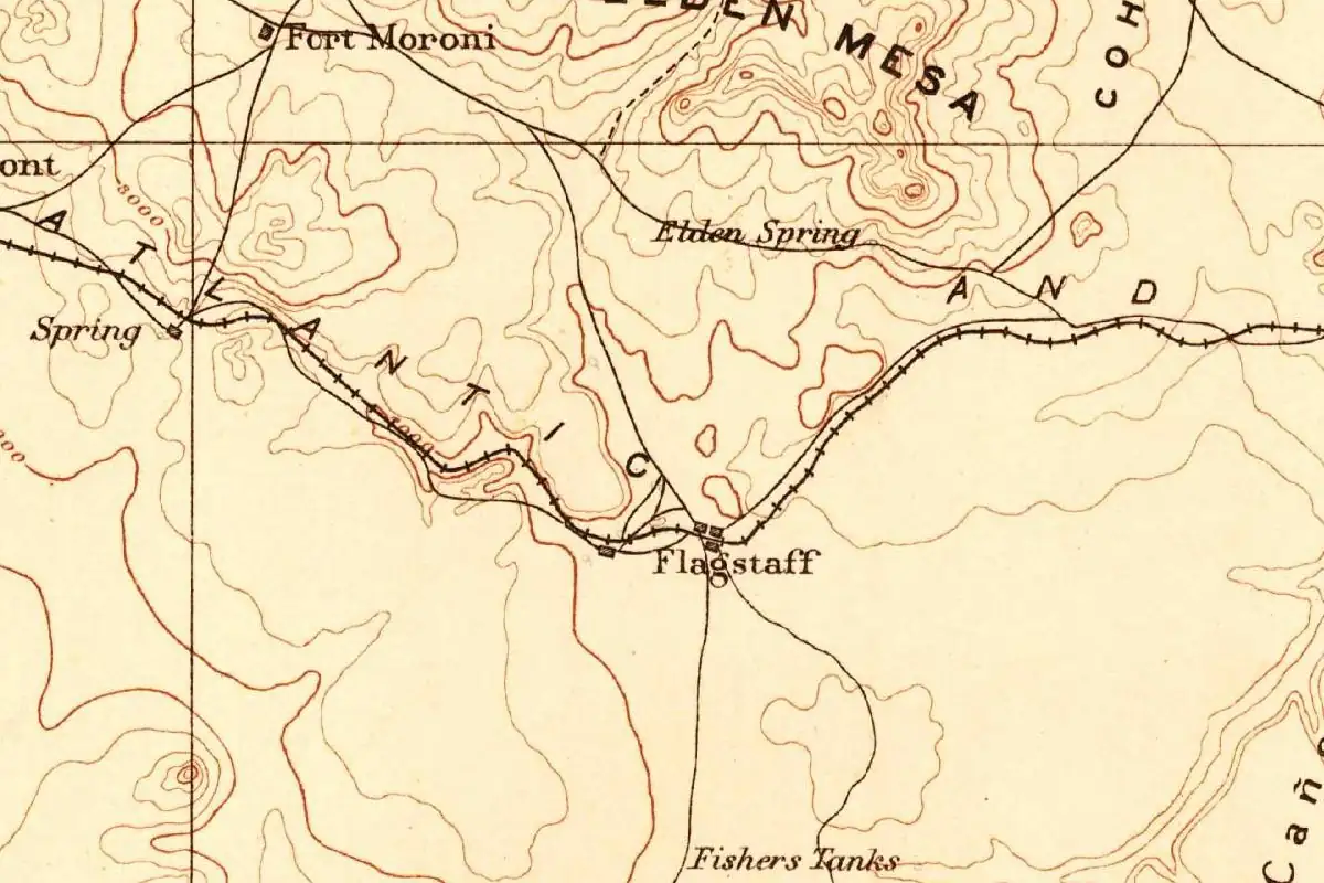
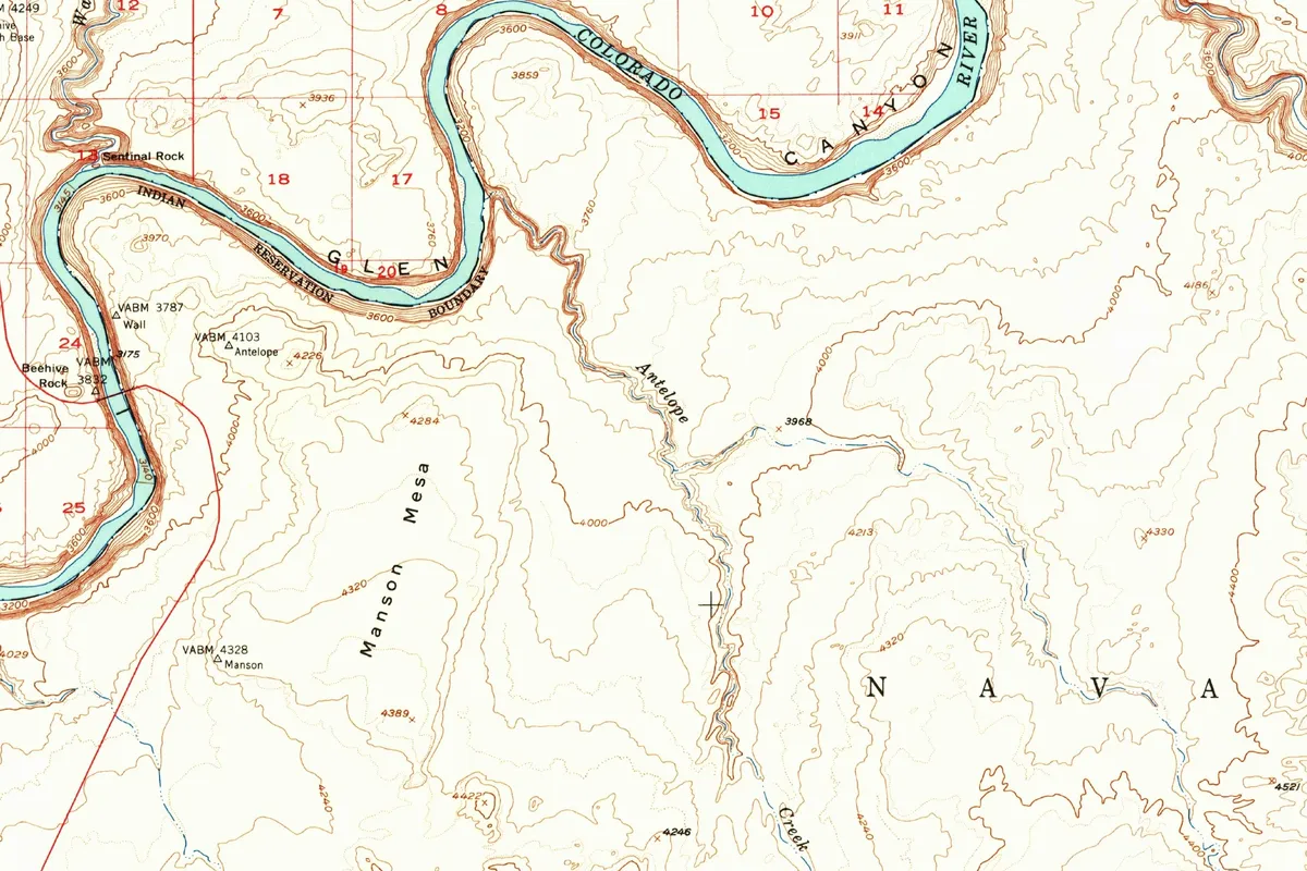
You can see how the land looked on paper before tourism with the map at the bottom of this page. The Geological Survey drew its Leche-E Rock sheet from aerial photographs taken in 1951 and published it in 1954; the copy shown here is a 1961 printing. On it, the drainage doesn’t say “canyon” at all: it’s Antelope Creek, running north through the Navajo Indian Reservation to the Colorado River in Glen Canyon. A survey point nearby is simply called Antelope.
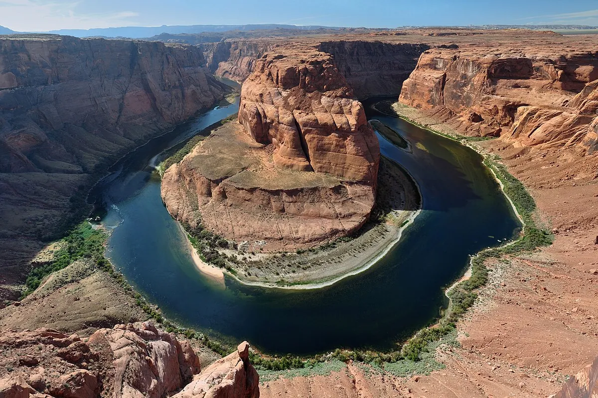
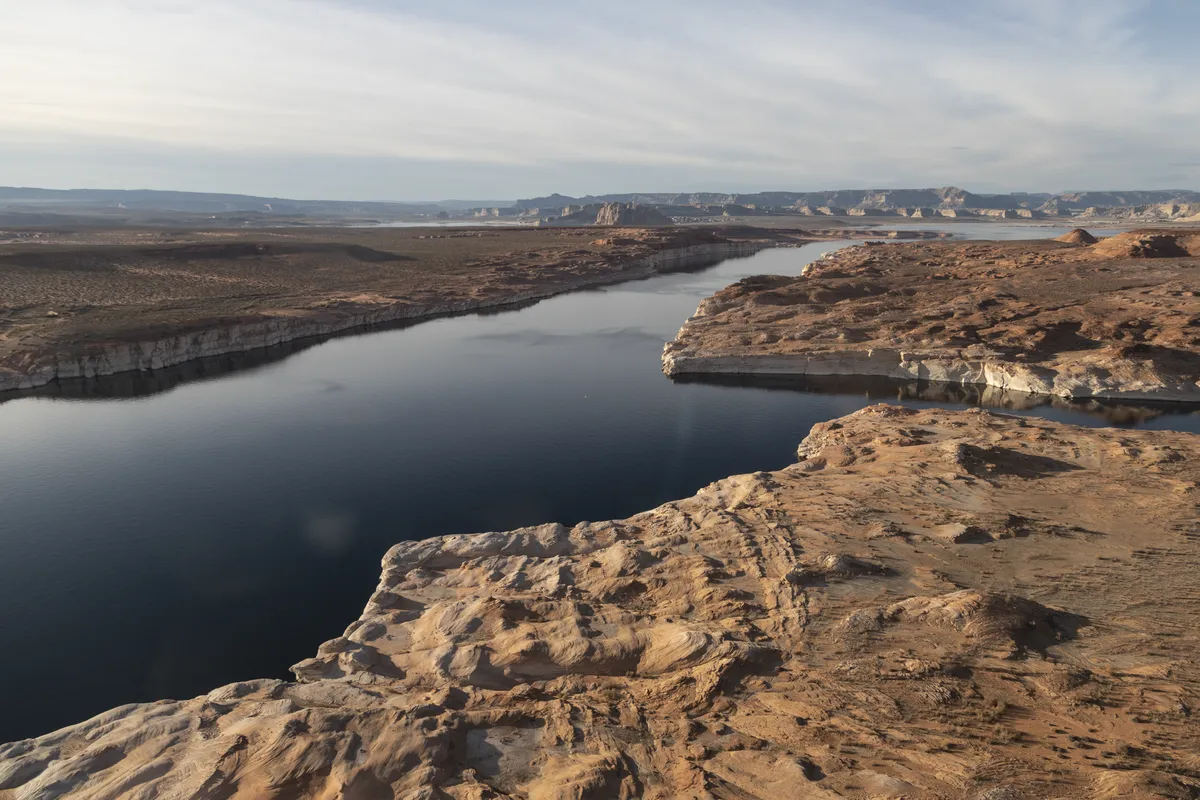
That river scene didn’t last. Lake Powell began to rise behind Glen Canyon Dam on March 13, 1963; the reservoir now carries John Wesley Powell’s name. Not far away, Horseshoe Bend has a gap of its own on paper: the Survey’s 1954 sheet for that stretch of river left the bend without a name.
Antelope Canyon Tours: Upper and Lower
Antelope Canyon is on Navajo Nation land, in the LeChee Chapter near Page, Arizona, and you can’t wander in on your own. The parks department says tour guides are mandatory, and it keeps a list of the tour companies it works with. Its page lists an entry fee of $15 per person, with the guided tour costing extra, and it says you get two hours at most in Upper Antelope Canyon.
The two slots aren’t the same walk. The department describes Upper Antelope as wider at the bottom, shaped like an “A,” so there’s a little more room to move. Lower Antelope is a narrow “V,” with stairs, and the page warns that it isn’t for anyone who’s claustrophobic. Rules and prices can change, so check the tribal parks site before you book.
Quick answers
Is Antelope Canyon named after real antelope?
Yes, after pronghorn. Navajo Nation Parks and Recreation says herds of pronghorn antelope once roamed the canyon, and that explains the English name.
What is the Navajo name for Antelope Canyon?
There are two. The tribal parks department calls Upper Antelope Canyon Tse’bighanilini, “the place where water runs through rocks,” and Lower Antelope Canyon Hasdez’ twazi’.
Who manages Antelope Canyon?
The Navajo Nation. It’s part of Lake Powell Navajo Tribal Park, and the parks department says tour guides are mandatory in both the upper and lower canyons.
Did old maps call it Antelope Canyon?
Not the Survey’s 1954 sheet shown at the bottom of this page, in a copy printed in 1961. It labels the drainage Antelope Creek, flowing to the Colorado River years before Lake Powell existed.
Key dates
- 1951The Geological Survey takes the aerial photographs for its Leche-E Rock map of the area.
- 1954The Leche-E Rock map is published; it labels the drainage Antelope Creek, inside the Navajo Indian Reservation.
- 1963Lake Powell begins to fill behind Glen Canyon Dam, downstream from the canyon's mouth.
Find it in Google Maps
Opens in a new tab. The pin is a point from the USGS place-name record, so it may not be the middle of the area.
Sponsored
Planning a visit?
Compare hotels in the area on Expedia.
See hotels nearbyWe may earn a commission if you buy through this link. It never changes what we write. Read our affiliate disclosure
Historical Sources & References
- Navajo Nation Parks and Recreation, “Lake Powell Navajo Tribal Park”. The English name and the pronghorn herds; the Navajo names Tse’bighanilini (“the place where water runs through rocks”) and Hasdez’ twazi’ (“the spiral role arches,” as printed); winter grazing in the LeChee area; mandatory guides, the $15 entry fee and the two-hour limit in Upper Antelope Canyon; the A and V shapes of the two slots.
- Navajo Nation Parks and Recreation, “Antelope Canyon Tour Operators”. The department’s list of the guided tour companies it works with.
- U.S. Geological Survey, Leche-E Rock sheet (1:62,500), 1954 (1961 printing). The map at the bottom of this page, made from aerial photographs taken in 1951; the margin of this copy carries the printer’s line “Washington, D.C.—1961.” It shows Antelope Creek, Glen Canyon and the Navajo Indian Reservation. A federal work in the public domain.
- GNIS feature 20631, Antelope Canyon (U.S. Geological Survey). The canyon’s entry in the federal place-names database, a valley in Coconino County.
Spot something wrong, or know more? Tell us here. You can also email us or use our contact page. Corrections are noted here with their date, never made silently.