Kanab, Utah: The Willow Word Behind the Name
Kanab comes from a Native word tied to willows, but sources differ on its meaning. The City of Kanab and the Kanab Museum say it's a Paiute word meaning 'place of the willows.' The Utah History Encyclopedia gives 'willow,' and also a willow basket for carrying an infant. Gannett classed it in 1905 as a Ute word meaning 'willow.'
Kanab, Utah, takes its name from a word the city calls Paiute, but sources differ on whether it meant willow, place of the willows or a willow baby basket. All of them come back to willows. Where they part ways is what exactly the word named, and even which people it came from.
Three readings of one word
The City of Kanab opens its history with the name: “Named for a Paiute word meaning ‘place of the willows.’” The Kanab Museum says the same thing in slightly different words, calling Kanab “the anglicized version of the Paiute word meaning ‘Place of the Willows.’” So does the Advisory Council on Historic Preservation, in its page on Kanab as a Preserve America community.
Martha Sonntag Bradley’s entry in the Utah History Encyclopedia gives two versions in the same article. Its summary says “the name Kanab is Piute meaning willow, referring to the number of willows along the creek.” A few lines down, it says “the word Kanab comes from a Native American word for a willow basket used to carry an infant on its mother’s back.”
Henry Gannett’s entry from 1905 is the shortest, and it names a different people: “Kanab; town, creek, and plateau in Kane County, Utah. A Ute Indian word, meaning ‘willow.’” So you’ve got Paiute or Ute, and willow, a place of willows or a willow basket. None of these sources says where its translation came from, and this article doesn’t pick one.
Utah isn’t the only place where a Paiute name raises questions like these. Our article on Winnemucca, Nevada, leaves the chief’s name untranslated for the same reason, and Truckee, California, takes its name from a river named for a Northern Paiute chief.
Forts that kept emptying
The town came after a run of false starts, and the dates depend on whom you read. Bradley says the first attempt by Anglo-Americans at a permanent settlement was made on June 7, 1858, and that early tries at Kanab included “a fort built in 1864–65 (soon vacated), another in 1868, and a third attempt in 1870.” The city says Fort Kanab went up in 1864 on the east bank of Kanab Creek, that Indian attacks forced its abandonment in 1866, and that ten Mormon families moved into the fort in 1870. The museum puts the first settlement at around 1865.
That same year, 1870, Brigham Young visited twice, the city says, “making suggestions and supervising the town planning.” Bradley writes that he came in April 1870, and that within months the townsite was surveyed and the lots handed out.
Willow fences in 1871
A visitor’s description from those first years comes from Frederick S. Dellenbaugh, in A Canyon Voyage, his book about the second Powell expedition. He got to Kanab on Sunday, December 17, 1871: “The village, which had been started only a year or two, was laid out in the characteristic Mormon style with wide streets and regular lots fenced by wattling willows between stakes.” His road joined one that came from “a very small settlement called Johnson’s.”
That’s a description of fences, not of the name. But it does show you willows on Kanab’s lots in the town’s first years.
A Powell Survey map, reprinted
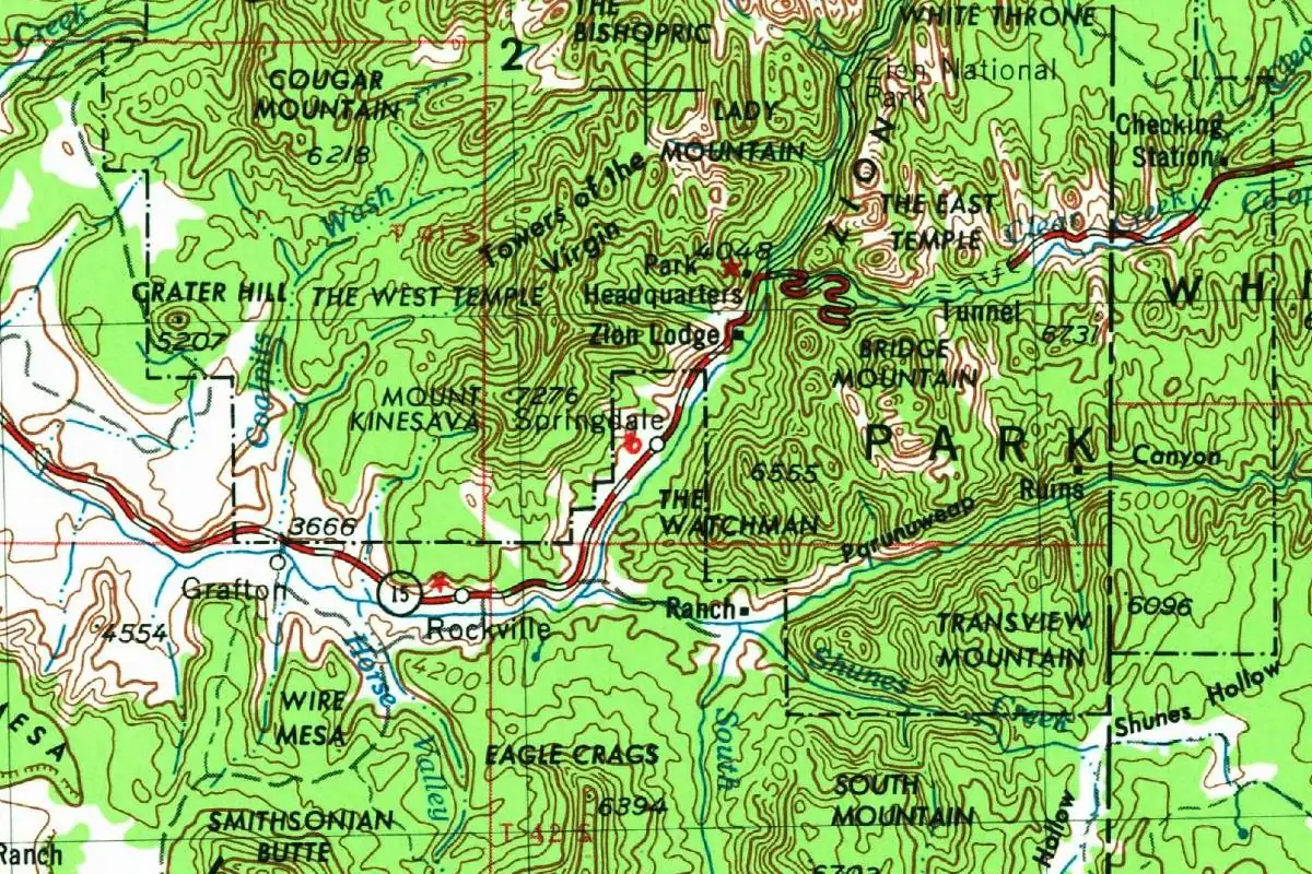
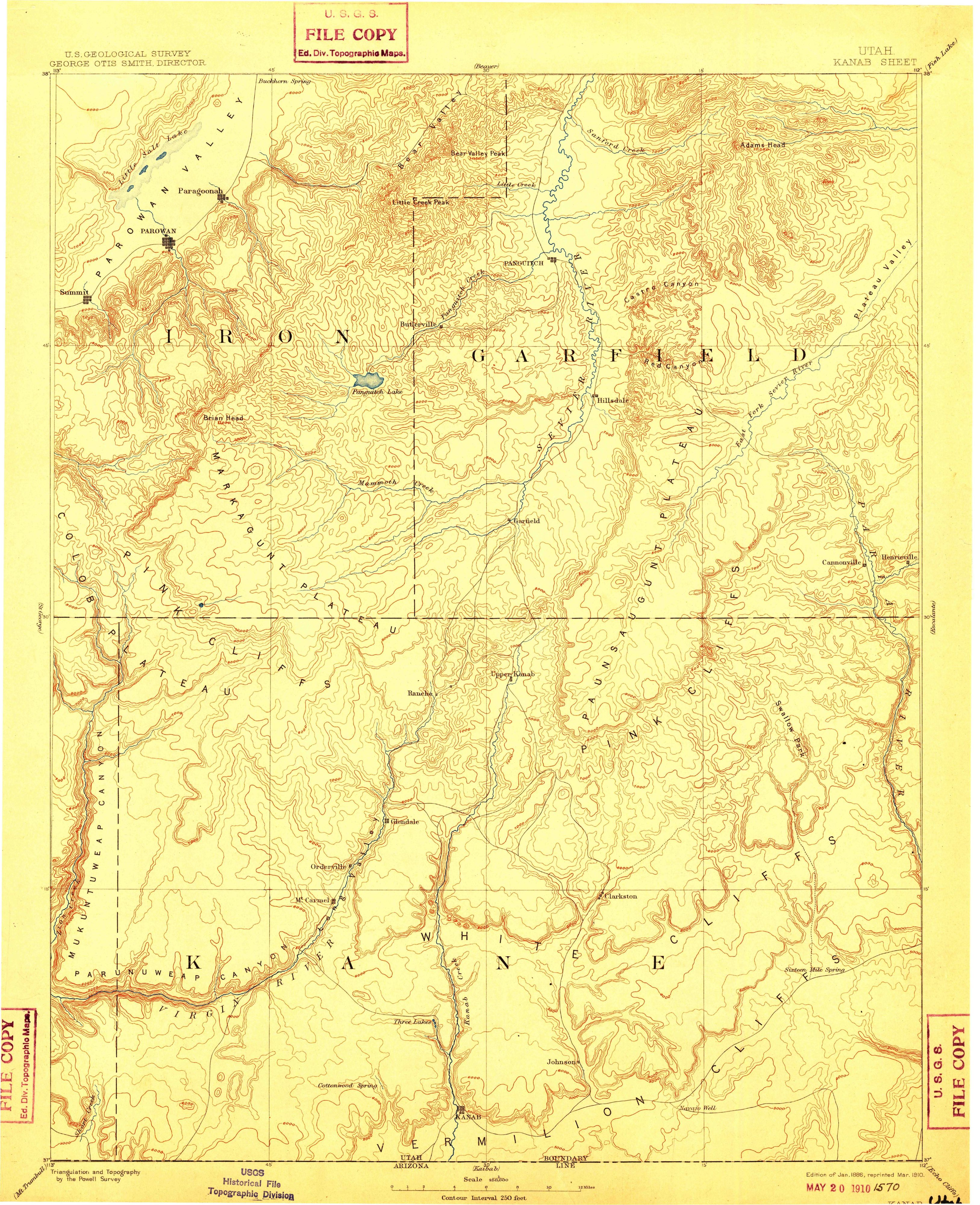
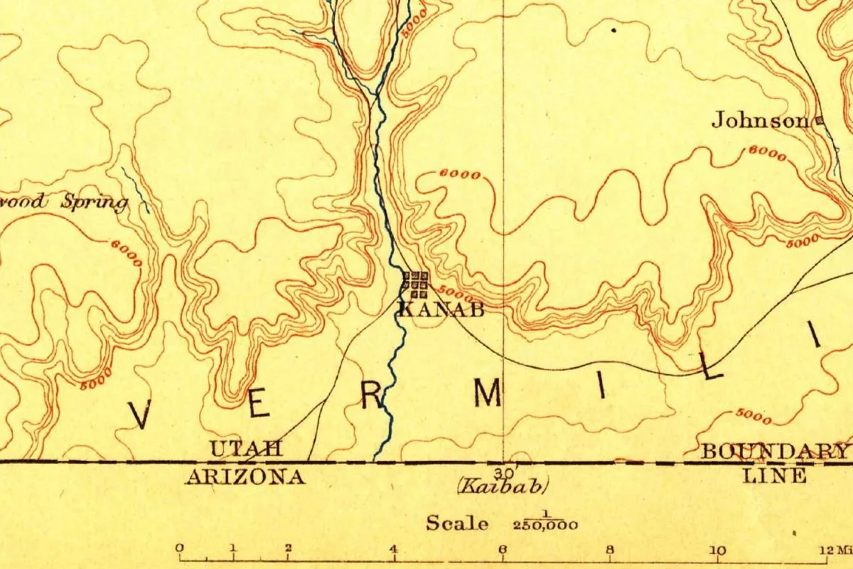
The map at the top of this page is the Geological Survey’s Kanab sheet. Its margin says “Triangulation and Topography by the Powell Survey” and “Edition of Jan. 1886, reprinted Mar. 1910,” so the copy you’re looking at is the 1910 reprint, with George Otis Smith as director. The town is a tiny grid of blocks beside a blue creek, with a settlement marked Johnson off to the upper right and the Utah-Arizona boundary line along the bottom. The same sheet covers Zion Canyon, where it shows a Paiute name the government once used. Powell himself turns up in the story of Springdale, just outside the canyon, through the report he published in 1875.
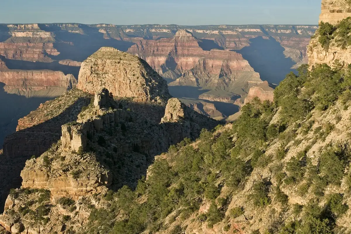
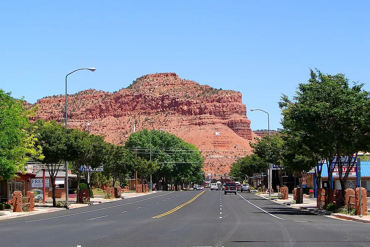
The cliffs brought in a different kind of visitor later. Bradley writes that Kane County’s scenery was drawing movie producers as early as 1922, when Tom Mix filmed The Deadwood Coach with the Vermillion Cliffs as a backdrop, and that hundreds of movies have been filmed around Kanab since the 1920s. If you’re coming to southern Utah for the scenery, the photo below shows what you get on an ordinary street in town: a red cliff right behind the shops.
Quick answers
What does Kanab mean?
The sources disagree. The City of Kanab and the Kanab Museum say it’s a Paiute word meaning “place of the willows.” The Utah History Encyclopedia gives “willow” and also a willow basket for carrying an infant. Gannett, in 1905, called it a Ute word for “willow.”
Is Kanab a Paiute word?
Most sources say yes. The city, the museum, the Advisory Council on Historic Preservation and the Utah History Encyclopedia all call it Paiute. Henry Gannett called it Ute in 1905.
When was Kanab settled?
The city says Fort Kanab was built in 1864, abandoned in 1866 and resettled by ten Mormon families in 1870. The Utah History Encyclopedia lists forts in 1864-65 and 1868 before a third attempt in 1870.
Key dates
- 1858On June 7, the first attempt by Anglo-Americans at a permanent settlement, according to the Utah History Encyclopedia.
- 1864Fort Kanab is built on the east bank of Kanab Creek, the city says. The encyclopedia dates the first fort to 1864-65.
- 1866Indian attacks force the fort to be abandoned, according to the city.
- 1870Ten Mormon families move into the fort, the city says, and Brigham Young visits twice. The encyclopedia counts a colony of seventeen settlers from Cottonwood.
- 1871On December 17, Frederick Dellenbaugh rides into Kanab and finds lots fenced with wattled willows.
Things to do in Kanab, Utah
Kanab Heritage House Museum
A historic house that the museum says was once called 'the jewel of Kanab.' The city bought it in 1974 and restored it.
BLM Kanab Visitor Center
The Bureau of Land Management's center on Highway 89, with displays on the geology and archaeology of Grand Staircase-Escalante National Monument. Staff give hiking recommendations and road reports.
Bunting Trail
A 4-mile (6.4 km) round-trip hike southwest of Kanab that climbs about 860 feet (262 m) to Bunting Point, with views of the Vermilion Cliffs and the Grand Staircase. Along the way are a petroglyph panel and a boulder with two three-toed dinosaur tracks.
Best Friends Animal Sanctuary
The sanctuary in Angel Canyon, at 5001 Angel Canyon Road, which cares for up to 1,600 animals on nearly 5,800 acres (about 2,350 ha) and calls itself the largest sanctuary of its kind in the country.
Getting there
Open Kanab in Google Maps
Opens in a new tab. The pin is the center of Kanab in the USGS place-name record.
The closest airports, Amtrak stations and intercity bus stops, measured in a straight line from the center of Kanab.
Airports
- St George Regional (SGU) St. George 54 mi 87 km
- Cedar City Regional (CDC) 55 mi 89 km
Intercity buses
- Salt Lake Express Cedar City (SUU) 53 mi 85 km
- Greyhound Cedar City Sunoco 53 mi 86 km
Distances are as the crow flies, not by road. We don't list schedules or fares because they change; check with the airline, Amtrak or the bus company before you go. Official data (FAA commercial service airports (2025), FAA airport locations, Amtrak stations and Intercity Bus Atlas) from the FAA and the U.S. Bureau of Transportation Statistics, checked Nov 17, 2026.
Sponsored
Staying in Kanab?
Compare hotels in Kanab, Utah, on Expedia.
See hotels in KanabWe may earn a commission if you buy through this link. It never changes what we write. Read our affiliate disclosure
Historical Sources & References
- City of Kanab, “About Kanab”. “Place of the willows,” Fort Kanab in 1864, the abandonment in 1866, the ten families of 1870 and Brigham Young’s two visits.
- Martha Sonntag Bradley, “Kanab,” Utah History Encyclopedia. “Piute meaning willow,” the willow basket, the attempt of June 7, 1858, the forts of 1864-65, 1868 and 1870, and Young’s visit of April 1870.
- Kanab Museum, “History”. “The anglicized version of the Paiute word,” and the first settlement around 1865.
- Advisory Council on Historic Preservation, “Kanab, Utah”. A Paiute word meaning “place of the willows.”
- Henry Gannett, The Origin of Certain Place Names in the United States, 2nd ed. (1905), p. 172. “A Ute Indian word, meaning ‘willow.’” Checked against the page image.
- Frederick S. Dellenbaugh, A Canyon Voyage (1908), pp. 166-167. The visit of December 17, 1871, the willow fences and the road from the settlement called Johnson’s. Checked against the page images.
- Kanab Heritage House Museum; BLM Kanab Visitor Center; Bunting Trail; Best Friends Animal Sanctuary. The details in the things-to-do list, including the 4 miles (6.4 km) and 860 feet (262 m) of the Bunting Trail.
- GNIS feature 1429276 (U.S. Geological Survey). Where Kanab sits, in Kane County, by its coordinates.
- U.S. Geological Survey, Kanab sheet (1886, reprinted 1910). The 1:250,000 sheet the map at the top was cropped from, with the Powell Survey credit and the reprint date in its margin.
Sponsored
Put this 1886 map on your wall
The Geological Survey's 1886 Kanab sheet (a 1910 reprint) is in the public domain. Download the full-size scan for free, then have it printed on canvas with CanvasOnTheCheap.
Print a map on canvasDownload the full-size mapWe may earn a commission if you buy through this link. It never changes what we write. Read our affiliate disclosure
Spot something wrong, or know more? Tell us here. You can also email us or use our contact page. Corrections are noted here with their date, never made silently.