Cedar City, Utah: Named for Cedars That Were Junipers
Cedar City started in November 1851 as Fort Cedar, named, the city's history says, for an abundance of trees the settlers called cedars, 'although, in reality, they are junipers.' The fort was also called Cedar Fort before the name settled on Cedar City, according to the Utah History Encyclopedia.
The trees that gave Cedar City, Utah, its name in 1851 weren’t cedars at all: the city’s own history says the settlers’ cedars were really junipers. The name stuck anyway, and so did the mistake. You’ll find it on a national monument nearby, too.
An iron town in the junipers
Cedar City was founded to make iron. The city’s history says settlement began “on November 11, 1851, with the arrival of a group of 35 men from Parowan, 20 miles northward, to establish an iron works.” They came under the direction of Henry Lunt, and the spot on the north bank of Coal Creek had been picked a week earlier by George A. Smith and a committee. Smith’s name is on another town in Utah: St. George, settled a decade later, is generally said to be named for him.
Utah State Parks, which runs the museum of that iron venture, says Brigham Young sent Mormon missionaries here in the 1850s “to mine and process iron.” The Utah History Encyclopedia calls it the Iron Mission.
Fort Cedar
The city’s history is direct about the name: “The settlement was given the name of Fort Cedar because of the abundance of trees which were called cedar trees, although, in reality, they are junipers.”
The Utah History Encyclopedia’s entry on the city says nearly the same thing: the trees “were called ‘cedar’ trees, although technically they are junipers.” The two texts are nearly word for word the same.
The encyclopedia’s separate entry on the Iron Mission fills in what happened to the name. “It was called Fort Cedar, Cedar Fort, and finally Cedar City.” The same entry says the iron works burned charcoal made from “the extensive forests of cedar (Juniperus osteosperma).”
The same mix-up at Cedar Breaks
The settlers made the same call at Cedar Breaks. The National Park Service says of Cedar Breaks National Monument, “Settlers later called it ‘Cedar Breaks,’ by misidentifying the area’s juniper trees as cedars.” If you drive up to the rim, you’re looking at a second name built on the same mistake.
Cedar Breaks had a name before the settlers came, too. The Park Service says the Southern Paiute called it umapwich, which it translates as “the place where the rocks are sliding down all the time.”
Other towns took cedar names from trees, too. In Iowa, Cedar Rapids and Cedar Falls took their names from the Red Cedar River, which Henry Gannett said in 1905 was “so named from the abundance of cedar trees which formerly grew along its banks.”
A town that moved
Fort Cedar didn’t stay put. In June 1855, the city’s history says, the settlement moved at the suggestion of Brigham Young. The iron works failed in 1858, and the railroad arrived in 1923.
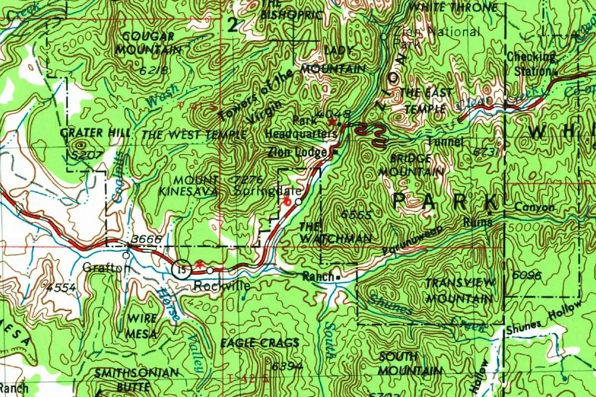
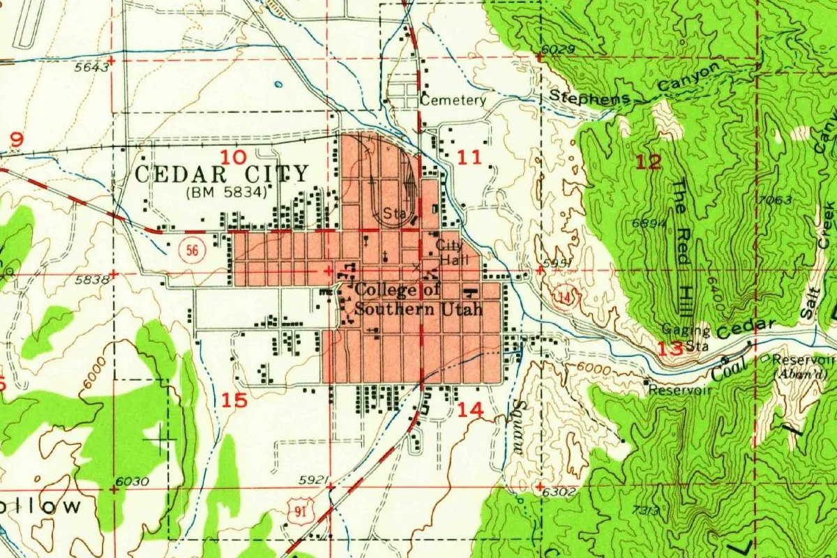
The 1950 map
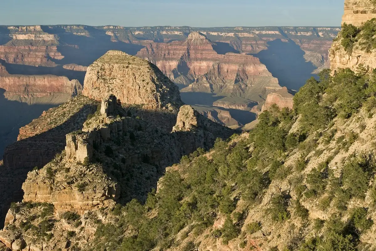
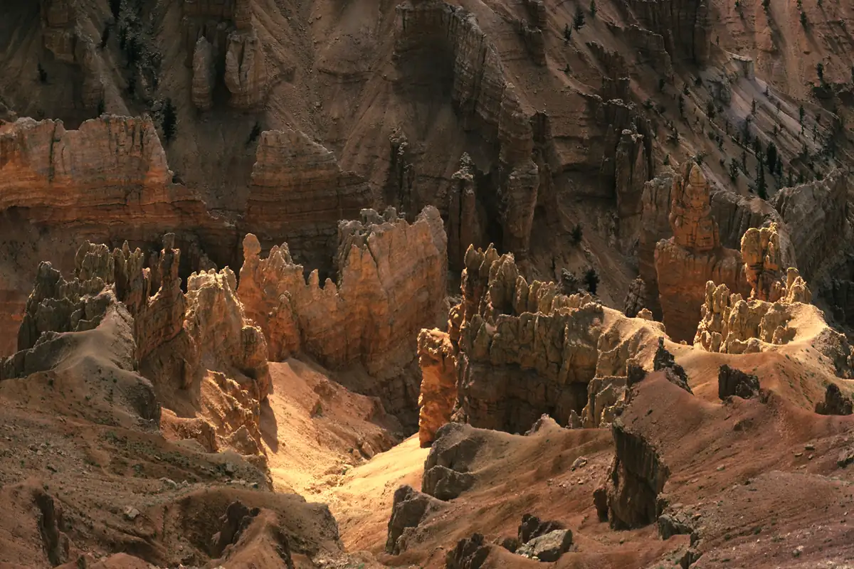
The map at the top of this page comes from the Geological Survey’s Cedar City sheet of 1950. The town’s grid sits below the wooded hills, with the College of Southern Utah in the middle of it, and you can spot the word Cedar printed along the creek to the east. Cedar Breaks is in the photo below.
Quick answers
Why is it called Cedar City?
For the trees the settlers called cedars. The city’s history says the settlement was named Fort Cedar in 1851 “because of the abundance of trees which were called cedar trees, although, in reality, they are junipers.”
Are there cedar trees in Cedar City?
The trees the name comes from are junipers, according to the city and the Utah History Encyclopedia. The encyclopedia’s Iron Mission entry identifies them as Juniperus osteosperma.
What was Cedar City’s original name?
Fort Cedar. The Utah History Encyclopedia says it was “called Fort Cedar, Cedar Fort, and finally Cedar City.”
Why is Cedar Breaks called that?
For the same reason. The National Park Service says settlers named it “by misidentifying the area’s juniper trees as cedars.”
Key dates
- 1851On November 11, 35 men from Parowan, 20 miles (32 km) to the north, arrive under Henry Lunt to start an iron works at Fort Cedar.
- 1855In June, at Brigham Young's suggestion, the settlement moves to a new site.
- 1858The iron works fails, the city's history says.
- 1923The railroad reaches Cedar City.
Things to do in Cedar City, Utah
Frontier Homestead State Park Museum
A state park museum about the iron mission Brigham Young sent in the 1850s to mine and process iron. It has horse-drawn vehicles used from 1850 to 1920, a replica blast furnace, the town bell (the only known artifact left from the original foundry) and the Hunter House, the oldest brick home left in Cedar City.
Cedar Breaks National Monument
At over 10,000 feet (3,050 m), looking down into a half-mile-deep (0.8 km) amphitheater of eroded rock, with bristlecone pines, wildflower meadows and clear night skies. The Park Service says settlers named it by mistaking the area's junipers for cedars.
Southern Utah Museum of Art
Southern Utah University's art museum, with works by Maynard Dixon, Edith Hamlin and Jimmie F. Jones, in a building by Brooks + Scarpa that the university says was inspired by the region's slot canyons.
Parowan Gap
A gap in the hills north of Cedar City, listed on the National Register of Historic Places, with many petroglyphs left by Native people and, the BLM says, markings from Spanish explorers and 19th-century pioneers.
Getting there
Open Cedar City in Google Maps
Opens in a new tab. The pin is the center of Cedar City in the USGS place-name record.
The closest airports, Amtrak stations and intercity bus stops, measured in a straight line from the center of Cedar City.
Airports
- Cedar City Regional (CDC) 3 mi 4 km
- St George Regional (SGU) St. George 51 mi 82 km
Intercity buses
- Salt Lake Express Cedar City (SUU) under 1 mi 1 km
- Greyhound Cedar City Sunoco 1 mi 2 km
Distances are as the crow flies, not by road. We don't list schedules or fares because they change; check with the airline, Amtrak or the bus company before you go. Official data (FAA commercial service airports (2025), FAA airport locations, Amtrak stations and Intercity Bus Atlas) from the FAA and the U.S. Bureau of Transportation Statistics, checked Nov 17, 2026.
Sponsored
Staying in Cedar City?
Compare hotels in Cedar City, Utah, on Expedia.
See hotels in Cedar CityWe may earn a commission if you buy through this link. It never changes what we write. Read our affiliate disclosure
Historical Sources & References
- City of Cedar City, “History”. The arrival on November 11, 1851, Henry Lunt and George A. Smith, the name Fort Cedar and the junipers, the move of 1855, the end of the iron works in 1858 and the railroad in 1923.
- Utah History Encyclopedia, “Cedar City”. The same explanation of the name, in almost the same words.
- Utah History Encyclopedia, “The Iron Mission”. Fort Cedar, Cedar Fort and Cedar City, and charcoal from “cedar (Juniperus osteosperma).”
- National Park Service, Cedar Breaks, “People”. The settlers’ “misidentifying” of junipers at Cedar Breaks and the Southern Paiute name.
- Henry Gannett, The Origin of Certain Place Names in the United States (1905), p. 259. The Red Cedar River of Iowa, “so named from the abundance of cedar trees which formerly grew along its banks.” Checked against the page image.
- Frontier Homestead State Park Museum. Brigham Young’s iron missionaries, and the details in the things-to-do list.
- Cedar Breaks National Monument; Southern Utah Museum of Art; Parowan Gap. The details in the things-to-do list.
- GNIS feature 1426441 (U.S. Geological Survey). Cedar City’s entry in the federal names database, in Iron County, with its coordinates.
- U.S. Geological Survey, Cedar City sheet (1950). The 1:62,500 map that the image at the top of this page was cropped from.
Spot something wrong, or know more? Tell us here. You can also email us or use our contact page. Corrections are noted here with their date, never made silently.