Horseshoe Bend, Arizona: The Bend Old Maps Didn't Name
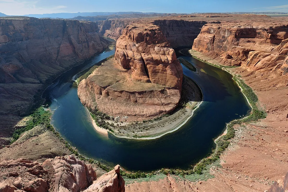
Horseshoe Bend, Arizona, is named for the shape of its 270-degree loop in the Colorado River, yet federal maps of 1954 and 1997 left the bend unnamed. The name is pure description, and you only need one look from the rim to see why. Who said it first, though, is a question no record we found can answer.
Horseshoe Bend, Arizona History: A Famous Loop With No Name on the Map
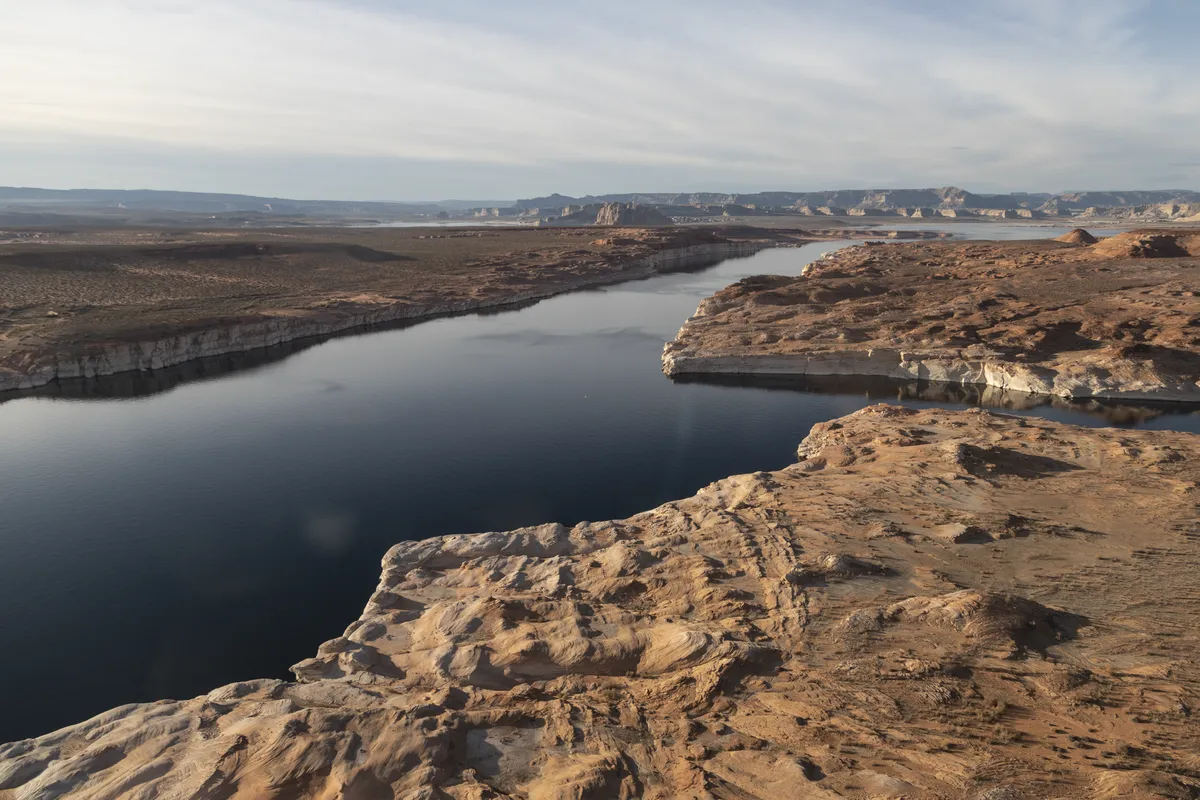
The National Park Service sums the place up in one line: a bend shaped like a horseshoe, in Glen Canyon, about 1,000 feet (305 m) deep, where the river turns roughly 270 degrees around a sandstone point. The Park Service says the river was already winding across the land when the Colorado Plateau rose, around 5 million years ago, and the meanders got trapped and cut down into the rock. To the U.S. Geological Survey it’s an incised meander, about 6.5 river miles (10.5 km) below Glen Canyon Dam.
The canyon got its name long before the bend did. John Wesley Powell’s party came down the river in August 1869, and in his 1875 report Powell listed what they had passed, “carved walls, royal arches, glens, alcove gulches, mounds, and monuments,” and asked which of them should supply the name. “We decide to call it Glen Cañon,” he wrote. The next day his boats ran the rest of Glen Canyon and stopped at what they took to be the mouth of the Paria River. His account of that day mentions the river making “a sudden turn,” but he named no bend along the way.
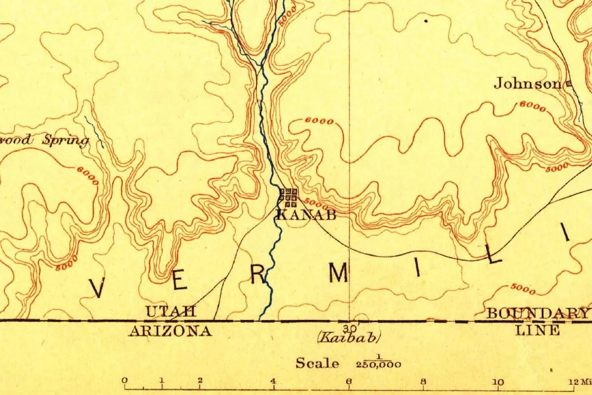
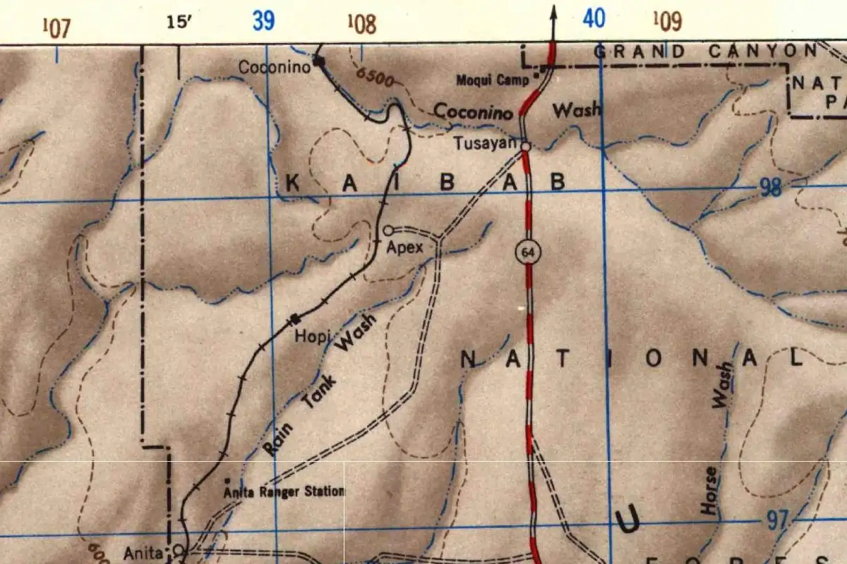
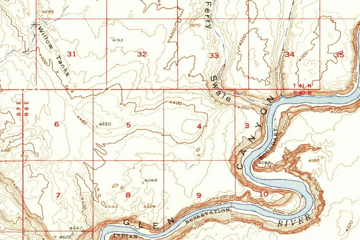
The early maps didn’t either. The Geological Survey’s Echo Cliffs sheet of 1886 prints GLEN CANYON along the winding river, with no name on any of its loops. More surprising is the Survey’s Lees Ferry map of 1954, drawn from 1951 aerial photographs. It draws the loop in close detail, contour by contour, with the elevation 4059 on the rock in the middle, and labels the river and the canyon. The bend itself has no name. That’s the map at the end of this page. The provisional Ferry Swale map of 1997, at a larger scale, names Ninemile Draw, a side drainage that meets the bend, but still not the bend.
The name finally reached the federal record recently. The Geographic Names Information System, the Geological Survey’s database of official names, dates its entry for this Horseshoe Bend, in Coconino County, to December 12, 2024. That only tells you when the database caught up. It doesn’t say when people started using the name, and the first person to call it Horseshoe Bend, and the year, remain unknown.
Arizona has more than one. The same database lists a second Horseshoe Bend, in Gila County, entered in 1980. Its famous neighbor downstream has a similar gap: our page on the Grand Canyon explains that nobody knows who first called that canyon grand, though the name was in print by 1857.
Horseshoe Bend Arizona Hike: Trail and Overlook
Start with the boundary, because Horseshoe Bend isn’t in Grand Canyon National Park. The Park Service says the bend and that stretch of the river belong to Glen Canyon National Recreation Area, and Grand Canyon National Park begins about nine miles (14 km) downstream. The ground you walk on is split, too. The parking lot, and the ground north of the path for roughly the first half of the walk to the overlook, are inside the City of Page. South of the lot, the path and the overlook sit on Navajo Nation land.
The trailhead is off U.S. Highway 89, between mile markers 544 and 545, about 5 miles (8 km) down the highway from the Carl Hayden Visitor Center. The round trip on foot is 1.5 miles (2.4 km), on a hardened path, with two shade shelters along the way but none at the rim. When we checked the Park Service pages in November 2026, the City of Page charged for parking, federal park passes didn’t cover it, and on busy weekends and holidays the city could make visitors take a shuttle.
The overlook platform has railings, but the trail doesn’t, and much of the rim drops about 1,000 feet (305 m), so watch your step and keep children and pets close. There’s no water on the trail and little shade, and the Park Service says to skip the hottest hours of the day. Use the restrooms at the parking lot, because there aren’t any on the trail.
Plenty of places claim the view. The Park Service notes that the bend has been used as a landmark by Glen Canyon, Grand Canyon National Park, the Navajo Nation and the cities of Page, St. George and Kanab, the Utah town whose name, as our page explains, comes from a word the city calls Paiute, with sources split among “willow,” “place of the willows” and a willow baby basket.
Quick answers
What is Horseshoe Bend named after?
Its shape. The Colorado River curves about 270 degrees around a sandstone point, which the Park Service describes as horseshoe-shaped.
Who named Horseshoe Bend?
Nobody knows. Powell’s 1869 party named Glen Canyon but not the bend, and the federal maps we checked, from 1886, 1954 and 1997, left the loop unlabeled.
Is Horseshoe Bend part of the Grand Canyon?
No. It’s in Glen Canyon National Recreation Area, and Grand Canyon National Park starts about nine miles (14 km) downstream, according to the Park Service.
How long is the hike to Horseshoe Bend?
It’s a 1.5-mile (2.4 km) round trip on a hardened path from the parking lot off Highway 89.
Key dates
- 1869August: John Wesley Powell's river party names Glen Canyon and runs it to the mouth of the Paria.
- 1886A Geological Survey map of the Echo Cliffs region labels the canyon Glen Canyon and names no bends.
- 1954The Survey's Lees Ferry map draws the loop in detail but leaves it unnamed.
- 1997The provisional Ferry Swale map still shows the bend without a name.
- 2024December 12: the federal Geographic Names Information System creates its entry for Horseshoe Bend.
Find it in Google Maps
Opens in a new tab. The pin is a point from the USGS place-name record, so it may not be the middle of the area.
Sponsored
Planning a visit?
Compare hotels in the area on Expedia.
See hotels nearbyWe may earn a commission if you buy through this link. It never changes what we write. Read our affiliate disclosure
Historical Sources & References
- National Park Service, “Horseshoe Bend” (Glen Canyon National Recreation Area): the 270-degree, 1,000-foot horseshoe-shaped curve, the uplift about 5 million years ago, the boundary between Glen Canyon and Grand Canyon, the City of Page and Navajo Nation land, the trailhead, the 1.5-mile walk, the railings, water and shade, parking fees and the places that use the bend as a landmark (as of November 2026).
- National Park Service, “Horseshoe Bend on the Colorado River”: the same details, plus the shuttle the city may require on busy days.
- U.S. Geological Survey, “NHD Horseshoe Bend”: the bend as an incised meander about 6.5 river miles below Glen Canyon Dam.
- J. W. Powell, Exploration of the Colorado River of the West (1875): the naming of Glen Canyon on August 3, 1869, and the run to the Paria on August 4.
- U.S. Geological Survey, Echo Cliffs sheet, 1886: Glen Canyon labeled, no names for its bends.
- U.S. Geological Survey, Lees Ferry quadrangle, 1954: the map at the bottom of this page, from 1951 aerial photographs, with the loop unnamed.
- U.S. Geological Survey, Ferry Swale quadrangle, 1997: Ninemile Draw named beside the bend, the bend still unlabeled.
- GNIS feature 2832452, Horseshoe Bend: the official entry, created December 12, 2024, in Coconino County.
Spot something wrong, or know more? Tell us here. You can also email us or use our contact page. Corrections are noted here with their date, never made silently.