North Platte, Nebraska: A Railroad Town Between Two Plattes
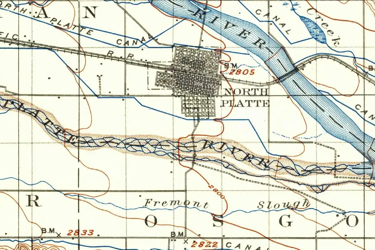
North Platte, Nebraska, sits in the fork between the North and South Platte rivers, and it took its name from the northern one. You might expect a town in that spot to be named for the meeting of the rivers, or for a railroad boss. It wasn’t.
Laid out for the Union Pacific
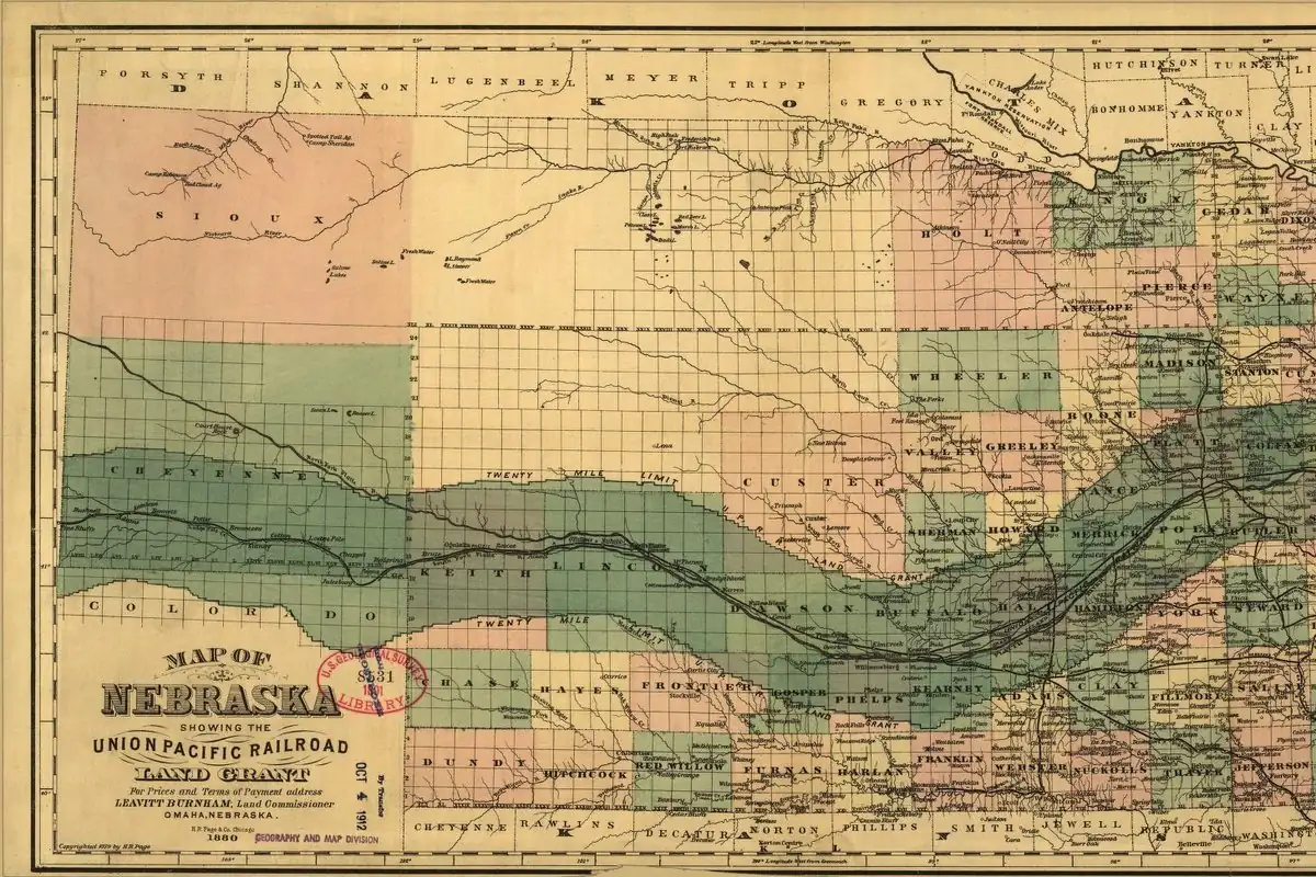
Lilian Fitzpatrick’s Nebraska Place-Names, the University of Nebraska study of 1925, gives the whole story in three short sentences: “The town of North Platte was laid out for the Union Pacific railroad by General G. M. Dodge in November, 1866. It is situated on the North Platte river, hence its name. It is the county seat of Lincoln county.”
A. T. Andreas’s History of the State of Nebraska, published in 1882, describes the spot more exactly: “between the North and South Platte Rivers, in the triangle just above the forks.” He gives the same month and the same man, Gen. G. M. Dodge, who laid the town out “about the time of the completion of the road to this point.”
So the name is geography, plain and simple. The railroad made the town, and the river supplied the name. Henry Gannett’s 1905 book on American place names explains the river’s own name: Platte is “from the French plate, meaning ‘dull,’ ‘shallow,’ a term singularly applicable to this stream.”
A boom that moved on to Julesburg
What happened next takes up most of Andreas’s account. For a few months North Platte was the end of the line, and it grew “like a mushroom.” There were soon more than three hundred buildings, and over the winter the population passed five thousand, “many of these were railroad laborers and many were gamblers.” The county’s first newspaper started there that November, and it was called the Pioneer on Wheels.
Then, in June 1867, the track reached Julesburg, and the terminus moved with it. Most of the people, and a lot of the buildings, went too. That was easy, Andreas explains, because the buildings were “constructed of logs and rough boards” and “easily torn down, removed and built up again.” Even the newspaper left for Julesburg.
The town that stayed
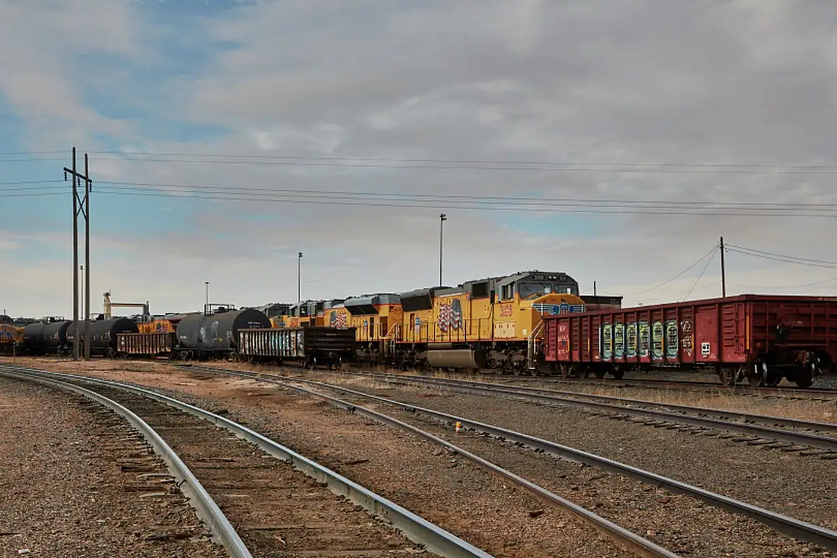
The people who stayed behind, in Andreas’s words, “had chosen North Platte for their future home.” In 1868 frame houses began to replace the log ones, and the railroad finished its machine shops and roundhouse, making North Platte a division point, which “tended to bring in many residents who were in the employ of the railroad company.” The federal gazetteer, for what it’s worth, gives 1868 as the founding year, two years after Dodge laid out the lots, so you’ll see both dates around.
Quick answers
Is North Platte named after the river?
Yes. Fitzpatrick (1925) says the town “is situated on the North Platte river, hence its name.”
Who laid out North Platte, Nebraska?
Gen. G. M. Dodge, for the Union Pacific, in November 1866, according to both Andreas (1882) and Fitzpatrick (1925).
What does Platte mean?
It comes from the French word plate, which Gannett (1905) translates as “dull” or “shallow,” a term he found “singularly applicable to this stream.”
Why did North Platte shrink in 1867?
Because the end of track moved west to Julesburg in June 1867, and most of the temporary population and many buildings moved with it, Andreas writes.
Key dates
- 1866Gen. G. M. Dodge lays out the town for the Union Pacific in November (Andreas; Fitzpatrick).
- 1867In June the end of track moves on to Julesburg, and much of the town goes with it (Andreas).
- 1868Frame houses replace log ones; the railroad's machine shops and roundhouse make North Platte a division point (Andreas).
Getting there
Open North Platte in Google Maps
Opens in a new tab. The pin is the center of North Platte in the USGS place-name record.
The closest airports, Amtrak stations and intercity bus stops, measured in a straight line from the center of North Platte.
Airports
- North Platte Regional/Lee Bird Field (LBF) 4 mi 7 km
- Kearney Regional (EAR) 96 mi 154 km
Amtrak trains
- McCook station (MCK) 64 mi 104 km
- Holdrege station (HLD) 87 mi 140 km
Intercity buses
- Express Arrow North Platte under 1 mi 0.2 km
- Greyhound North Platte Eagles Wings Pl 2 mi 4 km
Distances are as the crow flies, not by road. We don't list schedules or fares because they change; check with the airline, Amtrak or the bus company before you go. Official data (FAA commercial service airports (2025), FAA airport locations, Amtrak stations and Intercity Bus Atlas) from the FAA and the U.S. Bureau of Transportation Statistics, checked Nov 6, 2026.
Sponsored
Staying in North Platte?
Compare hotels in North Platte, Nebraska, on Expedia.
See hotels in North PlatteWe may earn a commission if you buy through this link. It never changes what we write. Read our affiliate disclosure
Historical Sources & References
- Lilian Linder Fitzpatrick, Nebraska Place-Names (1925), p. 96. North Platte laid out for the Union Pacific by Gen. G. M. Dodge in November 1866, “situated on the North Platte river, hence its name.”
- A. T. Andreas, History of the State of Nebraska (1882), Lincoln County. The site in the fork of the rivers, Dodge’s layout, the boom of 1866-67, the Pioneer on Wheels, the move to Julesburg and the shops and roundhouse of 1868.
- Henry Gannett, The Origin of Certain Place Names in the United States (1905), p. 247. The Platte “from the French plate, meaning ‘dull,’ ‘shallow.’”
- GNIS feature 831719 (U.S. Geological Survey). The government’s gazetteer page for North Platte, in Lincoln County, with its founding and incorporation dates.
Spot something wrong, or know more? Tell us here. You can also email us or use our contact page. Corrections are noted here with their date, never made silently.