Kitty Hawk, North Carolina: Chickehauk Before the Wrights
Nobody knows for sure where Kitty Hawk's name comes from. The town's 1989 land use plan says it most likely comes from an Indian place name, because the area appears as Chickehawk or Chickahawk on maps of the early 1700s. The North Carolina Gazetteer says probably, and dates the form Chickehauk to 1738. No source gives a meaning.
Kitty Hawk, North Carolina, was on maps as Chickehauk by 1738, more than 160 years before the Wright brothers’ first powered flights nearby in 1903. Where that older name came from is less clear. The sources think it was most likely a Native place name, and none of them says what it meant.
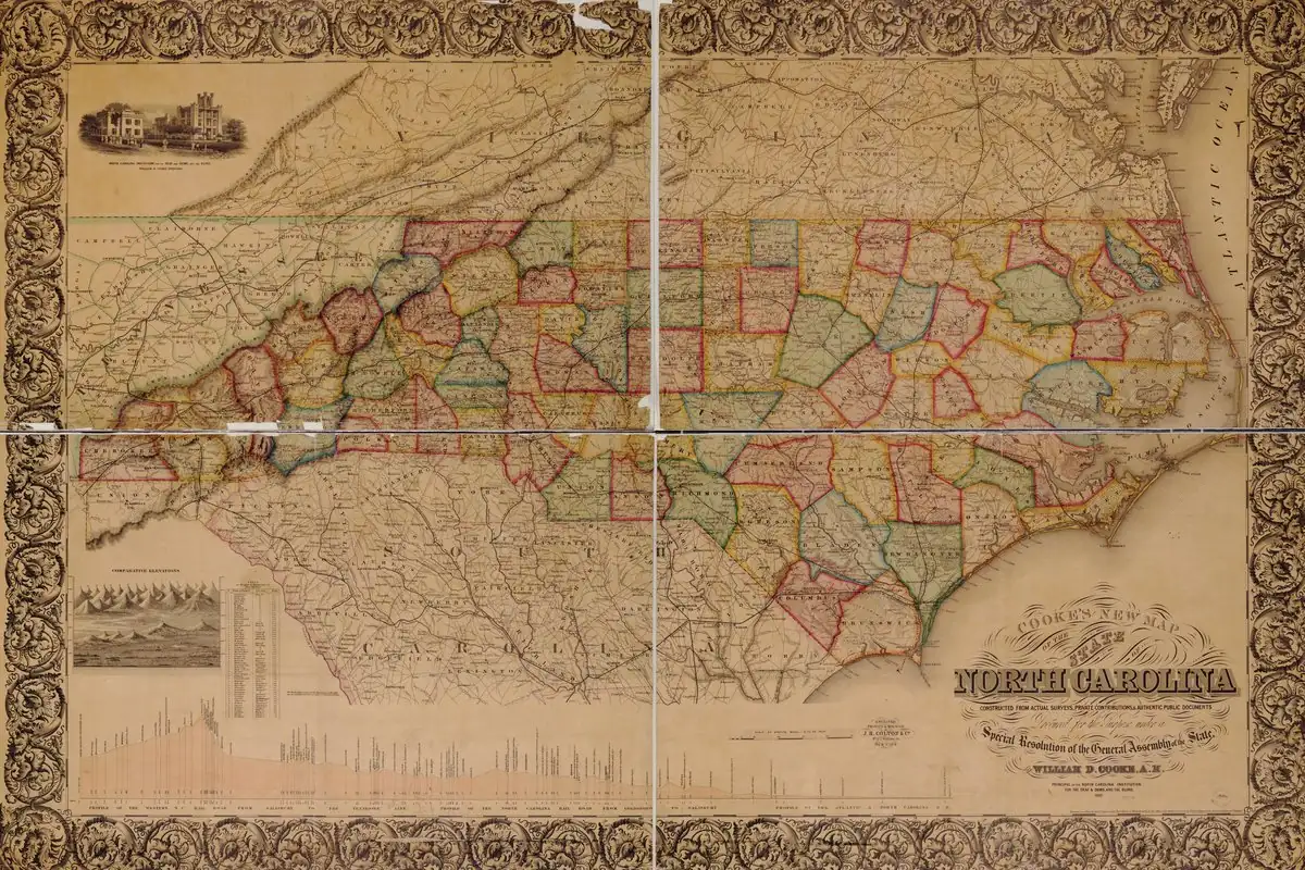
Chickehauk on the old maps
The North Carolina Gazetteer, edited by William S. Powell and Michael Hill, says the name “probably is a variation of an Indian place name, as it appears on maps as early as 1738 as Chickehauk.” The town’s 1989 land use plan agrees on the likely source but puts it in the early 1700s and spells it differently: the area “appears as ‘Chickehawk’ or ‘Chickahawk’ on maps of the early 1700s.”
The plan doesn’t pretend the question is closed. “Lively arguments can still be heard concerning the origin of Kitty Hawk’s name,” it begins, before saying the name “most likely comes from an Indian place name.”
The town’s own newsletter, in an April 2024 “From the Archives” piece, gives yet another spelling. It says the name “seems to have ties to these first natives,” the Algonquin-speaking tribes of the area, “as the original name, Chickenhauk, was noted on a New World map as early as 1738.”
So you have Chickehauk, Chickehawk, Chickahawk and Chickenhauk, depending on which source you read. None of them translates it, and neither does this article.
From Kittyhuk to Kitty Hawk
The modern spelling settled in early. “By the later 1700s,” the land use plan says, “residents were spelling the name much as it is today, with old deeds referring to the settlement as ‘Kittyhuk,’ ‘Kittyhark,’ ‘Kittyhawk,’ and ‘Kitty Hawk.’” The Gazetteer says the place was settled before 1790.
Another name from this coast traveled farther inland. Roanoke, Virginia, goes back to an Algonquian word that English colonists picked up in the 1580s, tied to the island in what’s now North Carolina that came to be called Roanoke Island.
The Wrights flew from Kill Devil Hills
The land use plan lists the milestones: a lifesaving station on Kitty Hawk beach in 1874, a post office in 1878, and in 1900 the arrival of the Wright brothers, who camped on Kill Devil Hill, “the high ridge just south of Kitty Hawk Village.”
The National Park Service answers the question directly in its FAQ for Wright Brothers National Memorial: did they fly in Kitty Hawk or Kill Devil Hills? Both, in a way. The memorial is in Kill Devil Hills, but “Wilbur and Orville would have referred to the location of their experiments as Kitty Hawk, the closest town in 1903. Kill Devil Hills didn’t become an incorporated town until fifty years after the first flight.” The powered flights took off from flat ground outside their camp, and the Park Service’s First Flight Boulder and Flight Line mark where “the first flights on December 17, 1903 took off and landed.”
Kitty Hawk itself wasn’t incorporated until April 13, 1981, the town’s newsletter says. Back in Dayton, Ohio, the Park Service’s Dayton Aviation Heritage park honors the brothers, and one of its buildings housed their Wright Cycle Company bike shop.
An Army map from the air
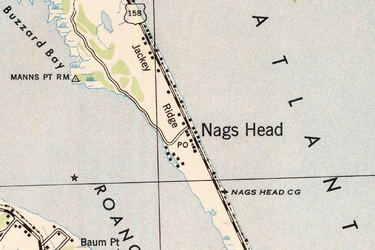
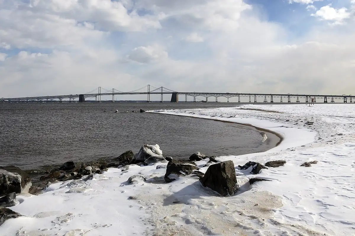
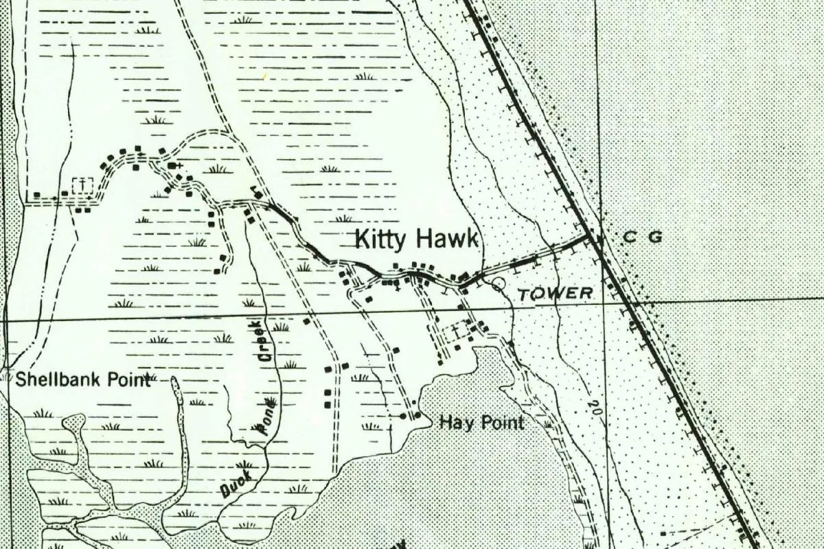
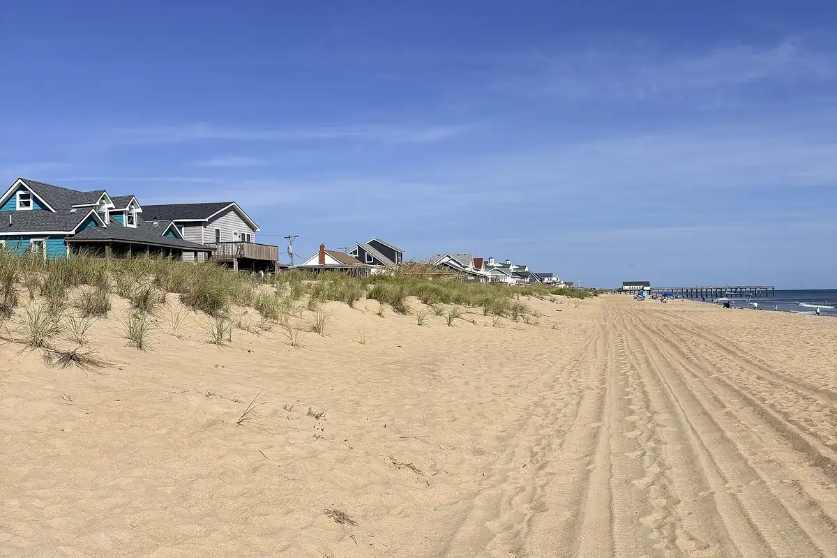
The map at the top of this page was made by the War Department. Its margin credits the 30th Engineer Battalion, using aerial photographs taken by the Army Air Corps in 1940, with a road classification of 1942, and this copy is a later printing by the Geological Survey. It shows Kitty Hawk as a line of houses along a road that winds back from the beach through the marsh, with Shellbank Point and Hay Point on the water and two churches marked near the village. The photo below looks north along the beach.
Quick answers
What does Kitty Hawk mean?
No source gives a meaning. The North Carolina Gazetteer says the name probably comes from an Indian place name that appears on maps as early as 1738 as Chickehauk, and the town’s 1989 land use plan says it most likely does.
Did the Wright brothers fly in Kitty Hawk?
Both, in a way. They flew in what’s now Kill Devil Hills, according to the National Park Service. The Wrights called the place Kitty Hawk because it was the closest town in 1903, and Kill Devil Hills wasn’t incorporated until 50 years later.
Is the name Kitty Hawk older than the Wright brothers?
Yes. The Gazetteer dates the map form Chickehauk to 1738, and the land use plan says that by the later 1700s residents were spelling it much as it is today, with old deeds using Kittyhawk and Kitty Hawk.
Key dates
- 1738The name appears on a map as Chickehauk, according to The North Carolina Gazetteer.
- 1874A lifesaving station is built on Kitty Hawk beach.
- 1878Kitty Hawk gets its first post office.
- 1900Wilbur and Orville Wright come to Kitty Hawk and camp on Kill Devil Hill, just south of the village.
- 1903On December 17, the Wrights make their first powered flights, from flat ground outside their camp in what's now Kill Devil Hills.
- 1981The Town of Kitty Hawk is incorporated on April 13.
Things to do in Kitty Hawk, North Carolina
Kitty Hawk Woods Coastal Reserve
A 1,890-acre (765 ha) reserve of globally rare maritime deciduous forest, maritime swamp forest and ponds between old dunes, a quarter mile (0.4 km) from the beach, with trailheads and kayaking on High Bridge Creek.
Sandy Run Park
A town park at 4343 The Woods Road that gives access to Kitty Hawk Woods, with a bridge to a half-mile (0.8 km) nature walk that loops over Sandy Run.
Monument to a Century of Flight
A monument behind the Aycock Brown Welcome Center at 5230 N. Croatan Highway, which the town describes as 'a reflective and contemplative environment.'
Wright Brothers National Memorial
The National Park Service site in neighboring Kill Devil Hills where the Wrights flew in 1903, with the First Flight Boulder marking where the powered flights took off and Big Kill Devil Hill, a 90-foot (27 m) dune.
Getting there
Open Kitty Hawk in Google Maps
Opens in a new tab. The pin is the center of Kitty Hawk in the USGS place-name record.
The closest airports, Amtrak stations and intercity bus stops, measured in a straight line from the center of Kitty Hawk.
Airports
- Norfolk International (ORF) 64 mi 102 km
- Newport News/Williamsburg International (PHF) 86 mi 138 km
Amtrak trains
- Norfolk station (NFK) 62 mi 101 km
- Newport News station (NPN) 86 mi 138 km
Intercity buses
- Greyhound Elizabeth City Edgewood Dr 32 mi 51 km
- FlixBus Virginia Beach Circle D Food Mart 56 mi 90 km
- Amtrak Chartered Vehicle Amtrak Connecting Service · Virginia Beach Amtrak Bus Stop 56 mi 90 km
Distances are as the crow flies, not by road. We don't list schedules or fares because they change; check with the airline, Amtrak or the bus company before you go. Official data (FAA commercial service airports (2025), FAA airport locations, Amtrak stations and Intercity Bus Atlas) from the FAA and the U.S. Bureau of Transportation Statistics, checked Nov 17, 2026.
Sponsored
Staying in Kitty Hawk?
Compare hotels in Kitty Hawk, North Carolina, on Expedia.
See hotels in Kitty HawkWe may earn a commission if you buy through this link. It never changes what we write. Read our affiliate disclosure
Historical Sources & References
- Town of Kitty Hawk, Land Use Plan (1989). The “lively arguments,” Chickehawk and Chickahawk on maps of the early 1700s, the spellings in old deeds, the lifesaving station of 1874, the post office of 1878 and the Wrights’ camp on Kill Devil Hill in 1900.
- The North Carolina Gazetteer, “Kitty Hawk,” via NCpedia. “Probably” an Indian place name, Chickehauk on maps as early as 1738, settled before 1790, incorporated in 1981.
- Town of Kitty Hawk, newsletter, April 2024, p. 11. Chickenhauk on a map of 1738, the Algonquin-speaking tribes, and the incorporation on April 13, 1981.
- National Park Service, Wright Brothers National Memorial FAQ. Kitty Hawk or Kill Devil Hills, the First Flight Boulder and Big Kill Devil Hill.
- National Park Service, Dayton Aviation Heritage National Historical Park. The park in Dayton that honors Wilbur and Orville Wright, and the Wright Cycle Company building.
- Kitty Hawk Woods Reserve; Town of Kitty Hawk, Parks and Recreation; Wright Brothers National Memorial, Basic Information. The details in the things-to-do list, including the 1,890 acres (765 ha) of the reserve and the half-mile (0.8 km) loop at Sandy Run.
- GNIS feature 1021059 (U.S. Geological Survey). Kitty Hawk in Dare County, with the coordinates for this page.
- Corps of Engineers, Kitty Hawk quadrangle (1940). The 1:62,500 sheet the map at the top was cropped from, made from 1940 aerial photographs.
Spot something wrong, or know more? Tell us here. You can also email us or use our contact page. Corrections are noted here with their date, never made silently.