Crewe, Virginia: A Railroad Town Named for Crewe, England
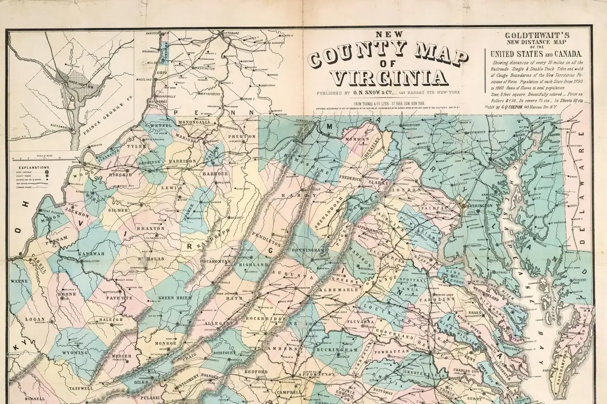
Crewe, Virginia, didn’t exist until the Norfolk and Western laid it out in 1888, and it borrowed the name of Crewe, England, a famous railroad town. Before that, the spot was a stop where trains took on wood and water, called Robertson’s Switch.
A name borrowed from an English railroad town
The town’s 2022 nomination to the National Register of Historic Places says it plainly: “The name of the new town was inspired by Crewe, England, one of that country’s most important railroad towns.” The Town of Crewe tells it the same way, and adds that the place was “designed first and foremost to support the operations of the N&W.”
That’s the whole point of the name. A railroad building a town from nothing gave it the name of a railroad town across the ocean, so the connection isn’t a coincidence.
Robertson’s Switch
Rail service reached the spot in 1879, the nomination says, at a stop called Robertson’s Switch, also known as Robertson’s Siding. In the days of wood fires and steam, trains had to stop regularly for fuel and water, and this siding was one of those stops. The Robertsons had owned land in the area since at least the mid-1700s, and in 1888 the railroad bought most of the land for its yard from them, 137 acres at $12 an acre.
The rest of the town came from three other family farms, the Wards’, the Bowlings’ and the LaNeaves’.
Why the Norfolk and Western needed a new town
Coal is the reason. Mining began in the Pocahontas Coalfield in 1883, and the nomination says the railroad’s tonnage jumped from 797,255 to 2,208,688 in just four years. In 1888 the company reorganized into four divisions, with new division points at Crewe, Roanoke, Radford and Bluefield.
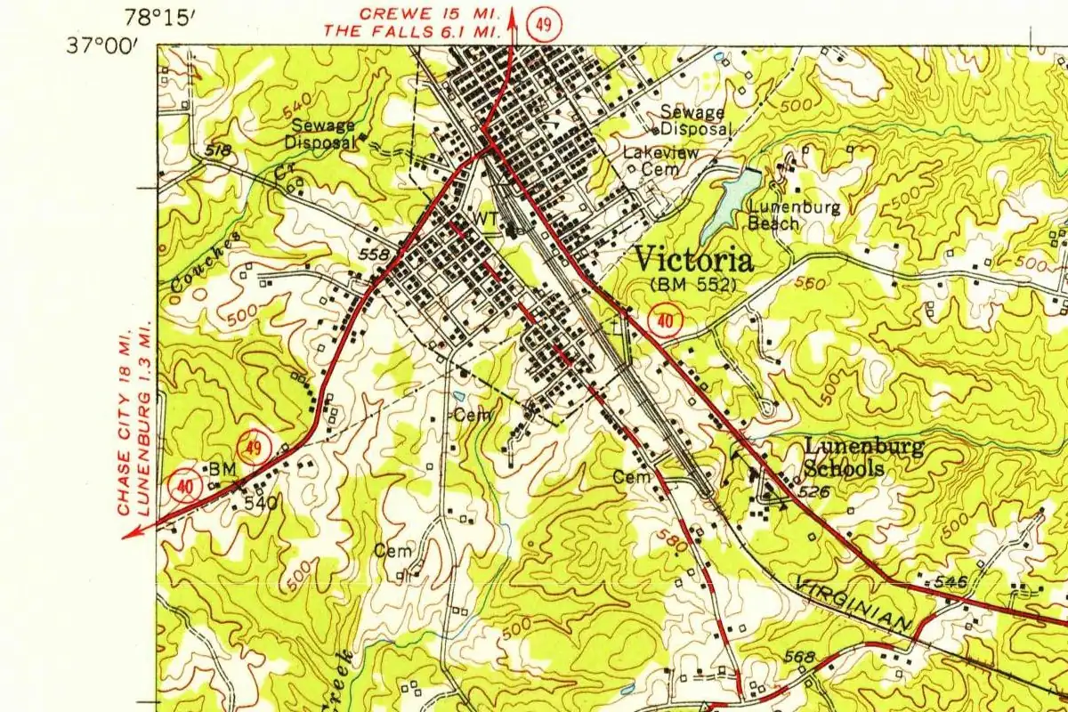
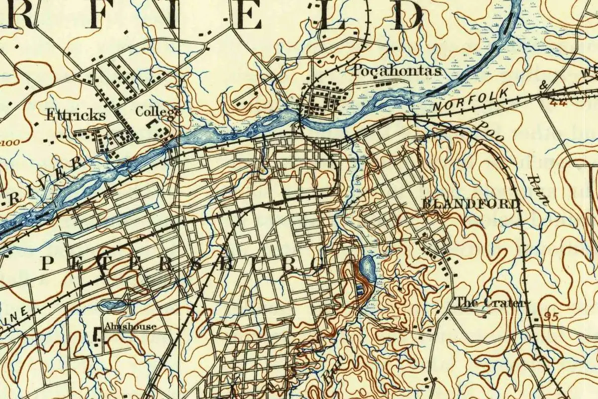
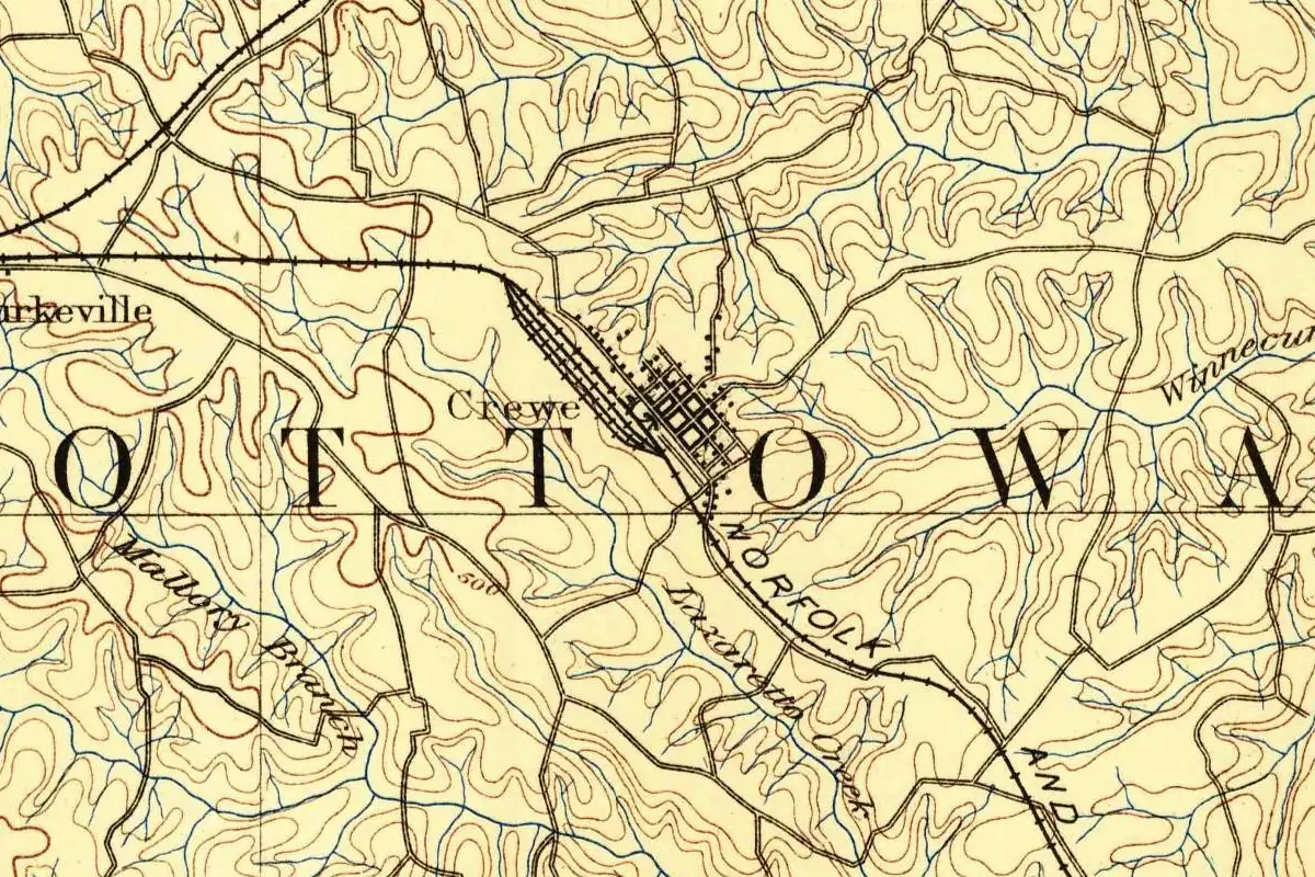
The new eastern headquarters had to be on level ground, with good water, at the midpoint between Roanoke and Norfolk. Burkeville, just to the west, was considered too, but Crewe won. Engineers laid out streets and lots on a grid, recorded as the “Map of Lots of Crewe,” with the main avenues running beside the tracks so workers could walk to the yard. If you want proof the plan was carried out fast, the government’s mapmakers had already drawn that grid beside the rail yard by 1891, only three years after the town began.
The state’s historic resources office adds one more turn: an 1899 fire pushed the main business street from Virginia Avenue over to Carolina Avenue. By 1940, the WPA’s guide to Virginia could still describe Crewe’s business and homes as flanking “the huge Norfolk & Western Ry. roundhouse, Y.M.C.A. building, and yards.” The streets moved. The English name didn’t, and if you look closely at the map, it’s already printed there in small type next to the yard.
Quick answers
Is Crewe, Virginia, named after Crewe, England?
Yes. The National Register nomination says the name “was inspired by Crewe, England, one of that country’s most important railroad towns,” and the town’s own history agrees.
Was there anything at Crewe before the railroad built the town?
A rail stop. From 1879, trains took on wood and water at Robertson’s Switch, also called Robertson’s Siding, on land the Robertson family had owned since at least the mid-1700s.
Who built Crewe, Virginia?
The Norfolk and Western Railway. It picked the site in 1888 for its new eastern division headquarters, and its engineers laid out the town.
Key dates
- 1879Rail service begins at Robertson's Switch, the stop that came before Crewe.
- 1883Mining starts in the Pocahontas Coalfield, and the Norfolk and Western's coal traffic takes off.
- 1888The Norfolk and Western picks the site for its new eastern division headquarters and lays out Crewe.
- 1899A fire shifts the business district from Virginia Avenue to Carolina Avenue.
Getting there
Open Crewe in Google Maps
Opens in a new tab. The pin is the center of Crewe in the USGS place-name record.
The closest airports, Amtrak stations and intercity bus stops, measured in a straight line from the center of Crewe.
Airports
- Richmond International (RIC) Highland Springs 50 mi 80 km
- Lynchburg Regional/Preston Glenn Field (LYH) Timberlake 60 mi 97 km
Amtrak trains
- Petersburg station (PTB) 39 mi 62 km
- Richmond station (RVM) 46 mi 73 km
Intercity buses
- Virginia Breeze, Operated by Dillon's Virginia Breeze · Farmville (Walmart) 17 mi 27 km
- FlixBus South Hill E Atlantic St 31 mi 51 km
- Greyhound South Hill Slip N Food Mart 32 mi 51 km
Distances are as the crow flies, not by road. We don't list schedules or fares because they change; check with the airline, Amtrak or the bus company before you go. Official data (FAA commercial service airports (2025), FAA airport locations, Amtrak stations and Intercity Bus Atlas) from the FAA and the U.S. Bureau of Transportation Statistics, checked Nov 6, 2026.
Sponsored
Staying in Crewe?
Compare hotels in Crewe, Virginia, on Expedia.
See hotels in CreweWe may earn a commission if you buy through this link. It never changes what we write. Read our affiliate disclosure
Historical Sources & References
- Marcus Pollard and others, Crewe Commercial Historic District, National Register of Historic Places Registration Form (2022), section 8, pp. 18-19. Robertson’s Switch or Siding from 1879; the Pocahontas coal traffic; the four divisions of 1888; the land bought from the Robertsons and three other families; the name “inspired by Crewe, England”; the “Map of Lots of Crewe.”
- Virginia Department of Historic Resources, “Crewe Commercial Historic District” (203-0048). The town laid out by N&W engineers in 1888 and the 1899 fire that moved business from Virginia Avenue to Carolina Avenue.
- Town of Crewe, “About Us”. Built by the Norfolk and Western in 1888 and “Named for the large railroad town of Crewe, England.”
- Writers’ Program, Virginia: A Guide to the Old Dominion (1940), pp. 593-594. Crewe’s business and homes around the N&W roundhouse and yards.
- GNIS feature 1492824 (U.S. Geological Survey). The government’s name file for Crewe, in Nottoway County, with its coordinates.
Spot something wrong, or know more? Tell us here. You can also email us or use our contact page. Corrections are noted here with their date, never made silently.