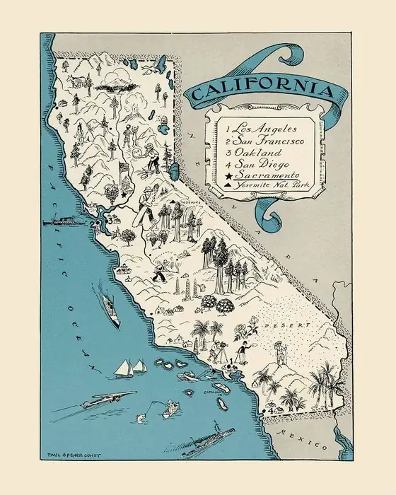
How Santa Barbara, California, Got a Saint's Name
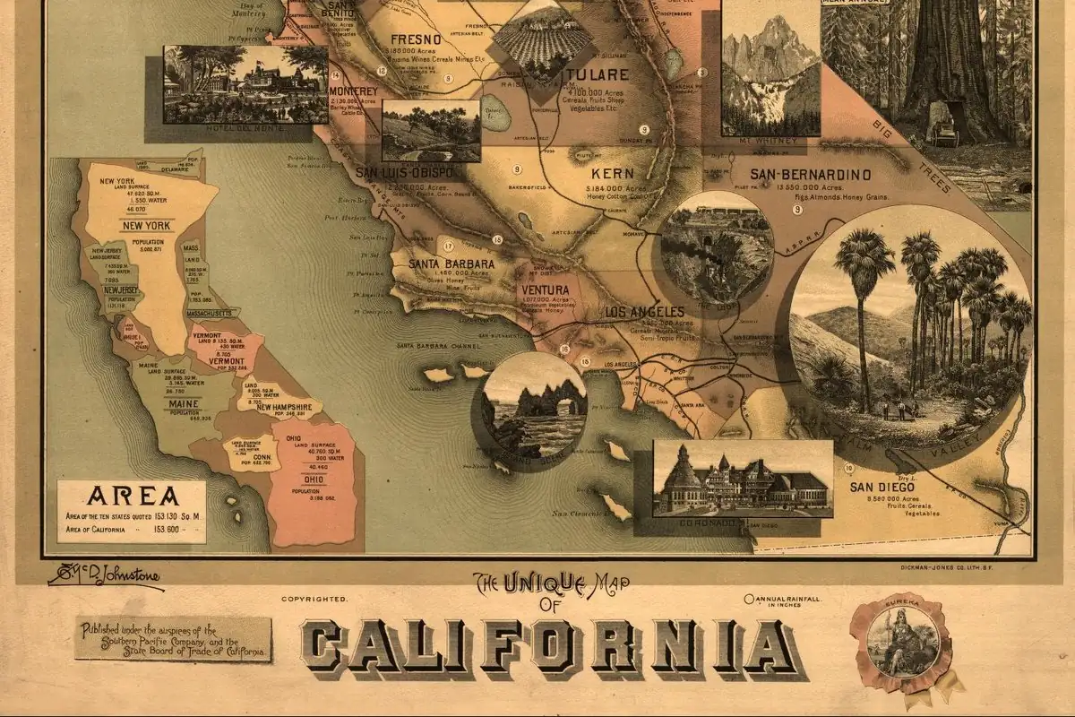
Saint Barbara, an early Christian virgin and martyr, is the namesake. Sebastián Vizcaíno's expedition put her name on the channel off this shore in December 1602. Spain later used it for the presidio founded here in 1782 and for the mission begun on her feast day, December 4, 1786. The city grew up around them.
Saint Barbara, a virgin martyr of the early church, gave her name first to the channel off Santa Barbara, California, during a Spanish voyage in 1602. Spain carried it ashore 180 years later with a presidio, then a mission, and the city grew up around them.
A saint’s day at sea
Herbert Bolton’s 1916 edition of Sebastián Vizcaíno’s diary puts it plainly in the introduction: the ships passed through the “Santa Bárbara Canal, so named by Vizcaino.” Vizcaíno had left Acapulco on May 5 with orders to explore the coast, and by early December his little fleet was working north past the islands.
A three-county history published in 1917 explains the choice of saint. Its Santa Barbara chapters say that Vizcaíno, “on the 4th day of December, 1602, entered the Channel of Santa Barbara, giving it that name because the 4th day of December is sacred to the memory of Saint Barbara, virgin and martyr.” It was a common Spanish habit in California: a place often got the saint of the day.
The diary itself doesn’t quite say that. Bolton’s notes already have the ships “in the Santa Bárbara channel” on December 2. The entry for December 4 is about weather:
“Tacking back and forward on the 4th of the said month, we were struck by a heavy northwester, with a high sea…”
No name, no saint. So the feast-day explanation fits the calendar, and Bolton credits Vizcaíno with the name, but the diary entries Bolton printed don’t record the moment of naming.
Laguna de la Concepción
When Spanish explorers came back by land in 1769, the shore here wasn’t empty. On August 18, Fray Juan Crespí described a large native town by the water and wrote, “This town was called Laguna de la Concepción.” Bolton’s note on that line reads: “Now Santa Bárbara. The lagoon lies east of the city.”
That’s a Spanish name for an Indigenous town, given by one diarist on one day. It’s not an earlier name of the city, and it didn’t stick. The channel’s name did.
Presidio first, then the mission
The saint’s name came ashore with the soldiers. The 1917 history says that on April 21, 1782, Father Junípero Serra raised a cross and the presidio of Santa Barbara was founded. The chief of the villages nearby, Yanonali, “became the firm friend of the newcomers,” and a city street carries his name.
The mission took four more years. The same history prints the entry Father Fermín Francisco de Lasuén wrote in the mission’s register, in his own handwriting:
“Commenced on the appropriate day of the holy titular patroness, December 4th, A. D. 1786.”
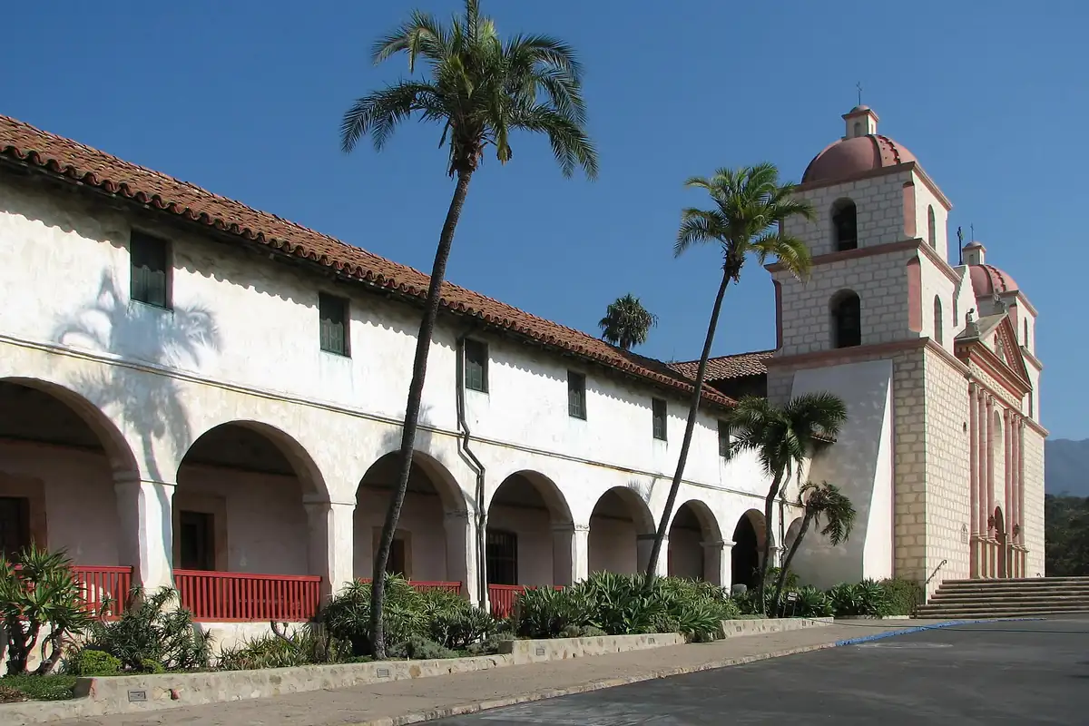
The entry goes on to say that Lasuén went out that afternoon from the presidio with three other missionaries, blessed water, dedicated the land to God and raised a large cross, with a prayer “to our holy patroness.” It was a modest start for the building you see in postcards.
So the mission was begun on Saint Barbara’s feast day, on the same day of the month the book gives for Vizcaíno’s naming of the channel, a match the authors point out themselves.
Henry Gannett’s 1905 compilation of place-name origins says the city was “named for an old Spanish mission.” That’s a shortcut. The mission is the building most people picture, and you can still visit it, but the name was on the channel by 1602 and on the presidio by 1782, before Lasuén blessed the mission site.
A county and its neighbors
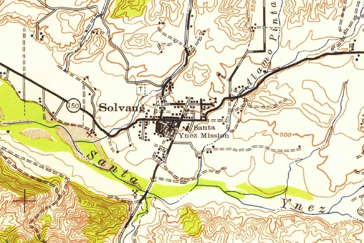
The county carries the same name. Inland, the Danish colony of Solvang started in the Santa Ynez Valley in 1911, according to the same 1917 history, and by our own measurement it lies about 28 miles (45 km) from Santa Barbara in a straight line. Up the coast, Santa Maria is in the same county.
Quick answers
Who is Santa Barbara named after?
Saint Barbara, described in the 1917 county history as a “virgin and martyr.” Her name went first on the channel, during Vizcaíno’s voyage of 1602.
Why December 4?
It’s Saint Barbara’s feast day. The 1917 county history says Vizcaíno entered and named the channel that day in 1602, and Lasuén began the mission on December 4, 1786.
Was Santa Barbara named after the mission?
Not first. Gannett said so in 1905, but the channel had the name in 1602 and the presidio in 1782, years before the mission.
What was Santa Barbara called before?
Nothing official. Crespí called the native town here Laguna de la Concepción in 1769. That was his label for the town, not an earlier name of the city.
Key dates
- 1602May 5: Sebastián Vizcaíno's ships sail from Acapulco to explore the coast of the Californias.
- 1602December 4: Saint Barbara's day, the date a 1917 county history gives for Vizcaíno naming the channel; the diary that day records only a storm.
- 1769August 18: Crespí records a large native town by a lagoon here and calls it Laguna de la Concepción.
- 1782April 21: Father Junípero Serra raises a cross and the presidio of Santa Barbara is founded.
- 1786December 4: Father Lasuén begins Mission Santa Barbara on the feast of its patroness.
Getting there
Open Santa Barbara in Google Maps
Opens in a new tab. The pin is the center of Santa Barbara in the USGS place-name record.
The closest airports, Amtrak stations and intercity bus stops, measured in a straight line from the center of Santa Barbara.
Airports
- Santa Barbara Municipal (SBA) 8 mi 13 km
- Santa Maria Public/Capt G Allan Hancock Field (SMX) 54 mi 88 km
- Hollywood Burbank (BUR) 78 mi 125 km
Amtrak trains
- Santa Barbara station (SBA) under 1 mi 0.9 km
- Goleta station (GTA) 8 mi 13 km
Intercity buses
- Gold Runner Santa Barbara under 1 mi 0.9 km
- Alvand Transportation Amtrak Connecting Service · Santa Barbara under 1 mi 0.9 km
- Amtrak Chartered Vehicle Amtrak Connecting Service · Santa Barbara under 1 mi 0.9 km
Distances are as the crow flies, not by road. We don't list schedules or fares because they change; check with the airline, Amtrak or the bus company before you go. Official data (FAA commercial service airports (2025), FAA airport locations, Amtrak stations and Intercity Bus Atlas) from the FAA and the U.S. Bureau of Transportation Statistics, checked Nov 13, 2026.
Sponsored
Staying in Santa Barbara?
Compare hotels in Santa Barbara, California, on Expedia.
See hotels in Santa BarbaraWe may earn a commission if you buy through this link. It never changes what we write. Read our affiliate disclosure
Sponsored
Want the spooky side of Santa Barbara?
The name has its story above. For the ghost stories, US Ghost Adventures runs walking ghost tours in Santa Barbara.
See ghost tours in Santa BarbaraWe may earn a commission if you book through this link. It never changes what we write. Read our affiliate disclosure
Historical Sources & References
- Herbert E. Bolton, ed., Spanish Exploration in the Southwest, 1542-1706 (1916), pp. 46, 87, 89. Vizcaíno’s departure on May 5, 1602, and the “Santa Bárbara Canal, so named by Vizcaino” (p. 46); Bolton’s note placing the ships in the channel on December 2 (p. 87); the entry for December 4 with the northwester and no name (p. 89).
- C. M. Gidney, Benjamin Brooks and Edwin M. Sheridan, History of Santa Barbara, San Luis Obispo and Ventura Counties (1917), vol. 1, pp. 19, 31, 36-37, 135. Vizcaíno entering and naming the channel on December 4, 1602, Saint Barbara’s day (p. 19); the presidio founded on April 21, 1782, and chief Yanonali (p. 31); Lasuén’s entry of December 4, 1786, and the matching day of the month (pp. 36-37); the Danish colony of Solvang begun in 1911 (p. 135).
- Francisco Palóu, Historical Memoirs of New California, ed. Herbert E. Bolton, vol. 2 (1926), p. 152. Crespí’s entry for August 18, 1769, “This town was called Laguna de la Concepción,” with Bolton’s note “Now Santa Bárbara.”
- Henry Gannett, The Origin of Certain Place Names in the United States (USGS, 1905), p. 275. Santa Barbara “named for an old Spanish mission.”
- GNIS feature 1661401 (U.S. Geological Survey). Listing 1661401, which assigns the city to Santa Barbara County.
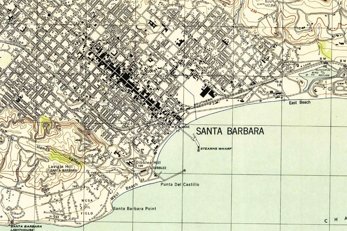
- U.S. Army Corps of Engineers, Santa Barbara sheet (1:31,680), 1944. A wartime sheet made from 1942 aerial photographs, showing Stearns Wharf, the lighthouse and the beaches.
Spot something wrong, or know more? Tell us here. You can also email us or use our contact page. Corrections are noted here with their date, never made silently.