Silverton, Colorado: A Mining Town Named for Its Silver
Silverton is named for silver. A National Park Service nomination says the town, established in 1874, was founded in a rich silver mining district, "from which the town received its name." A 1962 local history adds a saloon story about someone saying "We have silver by the ton," but nobody's named in it.
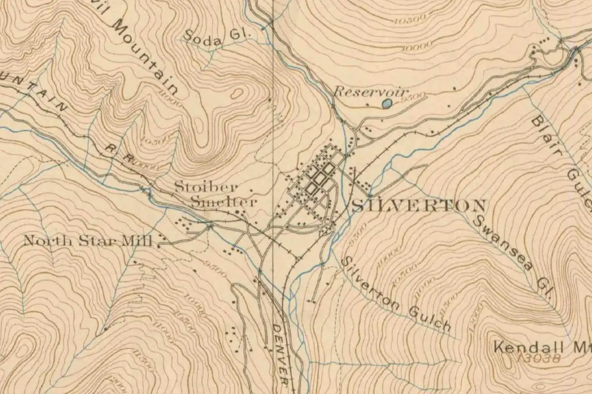
A town named for what the miners found
Silverton, Colorado, took its name from the silver mining district around it, where prospectors of the early 1870s looked for gold and kept finding silver. That’s the short version, and it comes from the federal record on the town.
In 1975 the National Park Service wrote up the Silverton Historic District for the National Register of Historic Places. “Established in 1874,” the nomination says, “by 1879 the population of the town had multiplied to 3,000 people. The town was founded in a rich silver mining district, (from which the town received its name).”
The same document explains why silver mattered so much at the start. “In the early 1870’s,” it says, “miners searched the region for gold but no one found anything but silver.” Once they were convinced the silver was worth the trouble, they began mining on a large scale, and the region turned out to be what the nomination calls “a virtual treasure house.” Gold, lead and copper came later.
Baker’s Park before Silverton
The town sits in a mountain valley that had a name of its own first. Ernest Ingersoll’s The Crest of the Continent, a travel book published in 1885, tells how it got it. A “certain Colonel Baker, reputed to have got his title as a confederate officer,” led a large party of prospectors north along the San Juan and Animas rivers until, “in the summer of 1860, he crossed the range, and discovered the deep-sunken nook which bears his name.”
Things went badly. “The silver they knew of,” Ingersoll writes, “but had no means of working.” They were looking for gold and found little. A winter of snow, sickness and hunger followed, and the men, calling Baker a cheat, were about to hang him when help came and “the colonel’s neck was saved.” The survivors left the next summer.
“It was not until ten years later,” Ingersoll goes on, “that any persons went to Baker’s park to stay.” Their first big find was the Little Giant gold mine in Arastra Gulch. “Simultaneously came the discovery of silver leads,” which set Howardsville going as a camp. Silverton, five miles (8 km) below, “was laid out straight and square, became the county-seat, and attracted most of the new-comers.”
Mary Ann Olsen’s local history, The Silverton Story, published in 1962, gives the leader as Charles Baker and dates his party to “1860 or 1861.” She also says that “Silverton was, at one time, named Baker’s Park.” Ingersoll, though, uses Baker’s Park for the valley itself, with Silverton as the town laid out in it.
Claims, a treaty and a plat
The valley was Ute land. The Park Service nomination says miners who came in before the Brunot Treaty with the Utes in 1873 were often run off or killed. In 1871 and 1872, while the treaty was being negotiated, miners crossed Stony Pass and began staking claims anyway. By the end of 1873, nearly 4,000 claims had been recorded, and most of the big mines had been found. Olsen counts more than 3,000 claims recorded in that one year.
According to an official plat, the nomination says, Silverton “was officially organized as a town in September 1874.” Olsen fills in some names. A preliminary survey was made by Thomas Trip, she writes, and a full survey that same year by William Monroe and J. M. Hanks. The first store was Greene and Company, Francis M. Snowden built the first cabin, and the streets were named for “the prominent pioneers of the 70’s—Greene, Reese, Snowden, Blair, etc.” Hanks, she adds, was appointed the first postmaster and for weeks carried the mail in his pockets because he couldn’t find a building for a post office.
Olsen also writes that the county seat moved from Howardsville to Silverton, which matches Ingersoll’s note that Silverton “became the county-seat.”
“Silver by the ton”
Olsen’s book also tells a saloon story about the name. “One evening,” she writes, “a group of men were in a saloon discussing the possibilities of the San Juan. One fellow remarked, ‘We have silver by the ton’, and thus Silverton got its name.”
Treat it as a local story. Olsen doesn’t name the man, the saloon or the year, and the 1975 nomination says only that the town took its name from the silver district. Both point to the same metal. Only Olsen’s version supplies the “ton.”
A railroad from Durango
For years the only way in was hard. Ingersoll writes that “no wagon-road entered Baker’s park” at first, and that goods and machinery came in on the backs of pack animals. The town, he says, celebrated when the first pack train arrived each spring, ending “a six months’ siege in the midst of impassable snow.” By his count, Silverton had “perhaps fifteen hundred permanent residents” by the time his book appeared.
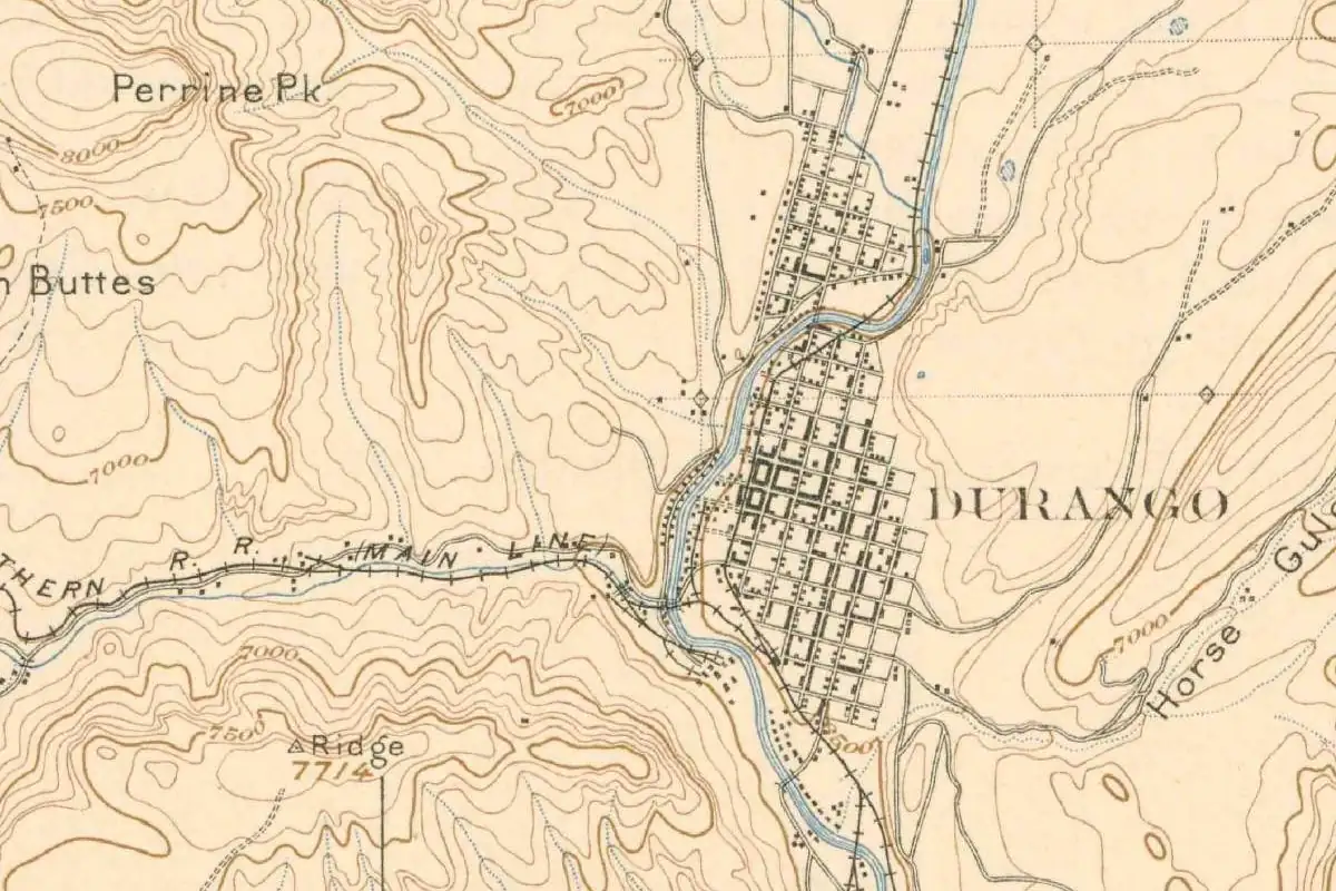
The railroad changed that. The Park Service nomination says Denver and Rio Grande service to Silverton began in July 1882, on a narrow-gauge line from Durango up the Animas Canyon. Our Durango page covers the railroad town at the other end of that line. Between 1882 and 1918, the nomination adds, the district produced more than $65 million in precious ores.
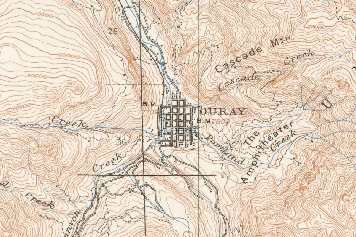
The Advisory Council on Historic Preservation, a federal agency, says mining peaked between 1900 and 1912 and that the last mine closed in 1992. Another San Juan mountain town, Ouray, took the name of a Ute leader; its page tells that story.
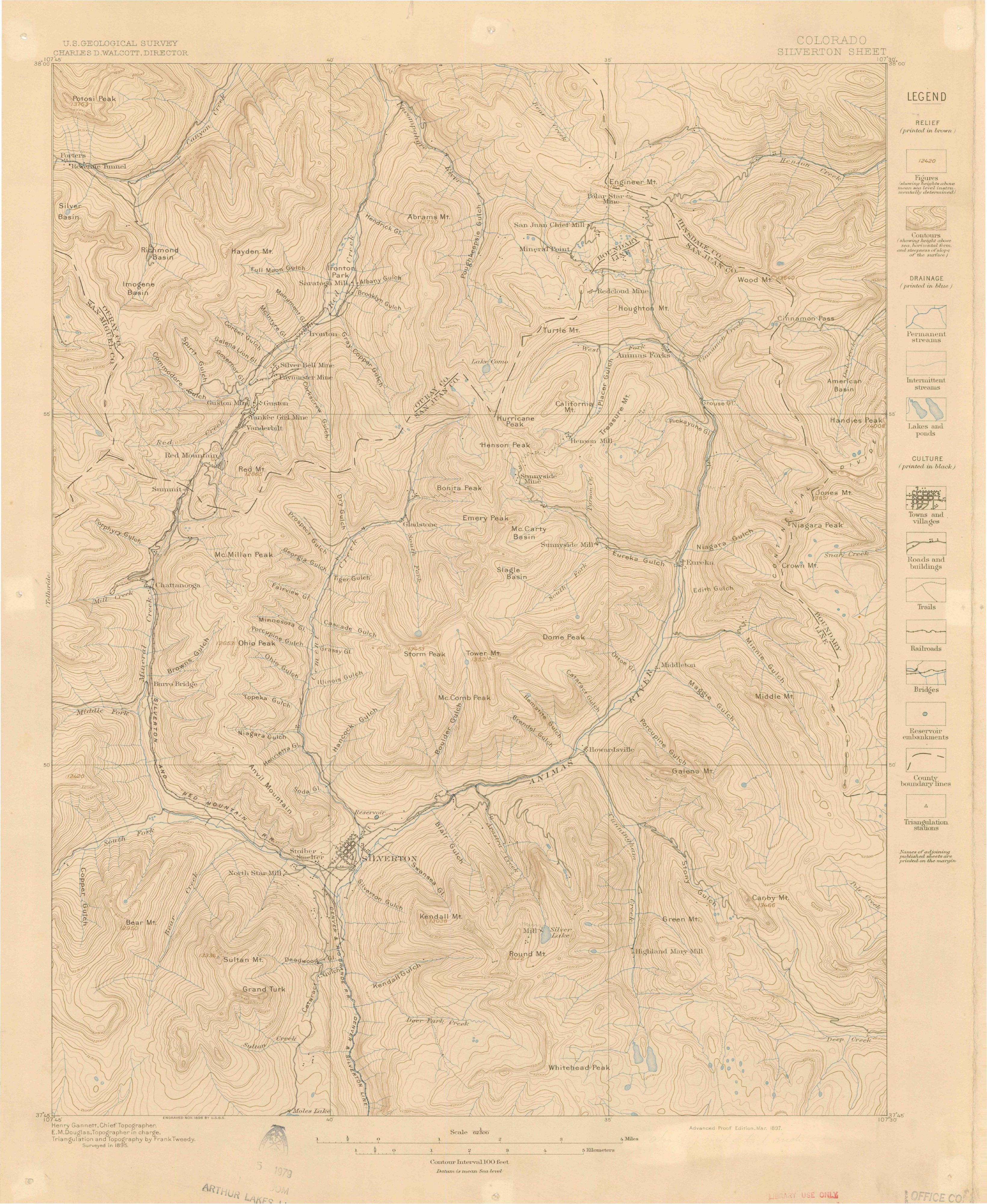
On the 1897 map at the top of this page, you can pick out the Stoiber Smelter and the North Star Mill close to the town’s small street grid. For more Colorado towns, see our Colorado page.
Quick answers
Why is Silverton, Colorado, called Silverton?
Because of silver. The National Park Service’s 1975 nomination says the town was founded in a rich silver mining district, “from which the town received its name.”
Is the “silver by the ton” story true?
No other source we found backs it up. It comes from Mary Ann Olsen’s 1962 The Silverton Story, which tells of an unnamed man in a saloon saying “We have silver by the ton,” with no date or names.
What was Baker’s Park?
The mountain valley where Silverton was laid out, named for a prospector called Baker who reached it in 1860, according to Ingersoll. Olsen says Silverton itself was once named Baker’s Park.
When was Silverton founded?
In 1874. The Park Service nomination says an official plat shows the town was organized in September of that year.
Key dates
- 1860Summer: A prospecting party led by a man called Baker reaches the valley later known as Baker's Park, Ingersoll writes.
- 1873The Brunot Treaty with the Utes is signed; nearly 4,000 claims have been recorded by year's end.
- 1874September: Silverton is officially organized as a town, according to its official plat.
- 1879The town's population reaches about 3,000.
- 1882July: Denver & Rio Grande tracks from Durango reach Silverton.
- 1992The last mine near Silverton closes, the Advisory Council on Historic Preservation says.
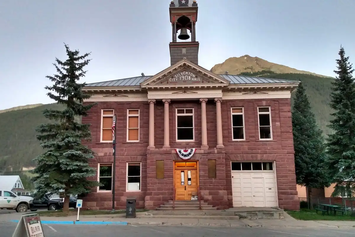
Things to do in Silverton, Colorado
Durango & Silverton Narrow Gauge Railroad
Tracks from Durango reached Silverton in July 1882. The line carried passengers from the start but was built mainly to haul gold and silver ore out of the San Juan Mountains, an estimated $300 million worth of precious metals over the years.
Mining Heritage Center
The San Juan County Historical Society's mining museum. It includes the Caledonia Boardinghouse, a hand-hewn log building that stood at the top of Minnie Gulch until it was taken apart, moved to Courthouse Square and put back together.
1902 San Juan County Jail
A brick and limestone jail built in 1902 for $12,175. The Pauly Jail Building Company of Indiana made the cell blocks and iron work, and the whole "jail kit" came to Silverton by train. It's now part of the historical society's museum.
Mayflower Mill
Also called the Shenandoah-Dives Mill, it stands two miles (3 km) northeast of Silverton. It's a National Historic Landmark and a complete processing mill where you can see how gold, silver and base metals were pulled from hard-rock ore.
Old Hundred Gold Mine Tour
A guided tour that goes a third of a mile (about 0.5 km) into 13,000-foot (3,962 m) Galena Mountain, following the vein past mining equipment.
Getting there
Open Silverton in Google Maps
Opens in a new tab. The pin is the center of Silverton in the USGS place-name record.
The closest airports, Amtrak stations and intercity bus stops, measured in a straight line from the center of Silverton.
Airports
- Telluride Regional (TEX) 17 mi 27 km
- Durango-La Plata County (DRO) 46 mi 74 km
Amtrak trains
- Grand Junction station (GJT) 99 mi 160 km
Intercity buses
- Bustang Outrider Bustang · Telluride 15 mi 24 km
- Greyhound Durango W 8th St 39 mi 63 km
Distances are as the crow flies, not by road. We don't list schedules or fares because they change; check with the airline, Amtrak or the bus company before you go. Official data (FAA commercial service airports (2025), FAA airport locations, Amtrak stations and Intercity Bus Atlas) from the FAA and the U.S. Bureau of Transportation Statistics, checked Nov 14, 2026.
Sponsored
Staying in Silverton?
Compare hotels in Silverton, Colorado, on Expedia.
See hotels in SilvertonWe may earn a commission if you buy through this link. It never changes what we write. Read our affiliate disclosure
Historical Sources & References
- National Register nomination, Silverton Historic District (1975). Established in 1874 in a silver district “from which the town received its name”; miners looking for gold and finding “anything but silver”; the Brunot Treaty and Stony Pass; nearly 4,000 claims by 1873; the September 1874 plat; 3,000 people by 1879; the railroad in July 1882; $65 million in ores from 1882 to 1918.
- Mary Ann Olsen, The Silverton Story (1962). The “silver by the ton” saloon story; Charles Baker and Baker’s Park; the 1874 surveys, first store, first cabin and street names; Hanks as first postmaster; the county seat moving from Howardsville.
- Ernest Ingersoll, The Crest of the Continent (1885), pp. 144-145. Colonel Baker’s party in the summer of 1860 and the “nook which bears his name”; the return ten years later; the Little Giant mine and silver leads; Silverton “laid out straight and square”; pack trains and about 1,500 residents.
- Advisory Council on Historic Preservation, Preserve America: Silverton. Mining’s peak from 1900 to 1912 and the last mine closing in 1992.
- GNIS feature 204750 (U.S. Geological Survey). The town’s official entry in the national names system, in San Juan County.
- U.S. Geological Survey, Silverton sheet (1897). The 1:62,500 sheet, surveyed in 1895, that the map at the top of this page was cropped from.
Sponsored
Put this 1897 map on your wall
The 1897 USGS Silverton sheet is in the public domain. Download the full-size scan for free, then have it printed on canvas with CanvasOnTheCheap.
Print a map on canvasDownload the full-size mapWe may earn a commission if you buy through this link. It never changes what we write. Read our affiliate disclosure
Spot something wrong, or know more? Tell us here. You can also email us or use our contact page. Corrections are noted here with their date, never made silently.