Blue Ridge Parkway: History, Name and Road Trip
The Blue Ridge Parkway is named for the Blue Ridge, whose color comes from the forest itself, and Congress gave the road that name in a 1936 law. Before that, the project went by working titles that didn’t stick. If you’ve ever wondered where the blue haze comes from, there’s a chemical answer to that, too.
Blue Ridge Parkway History
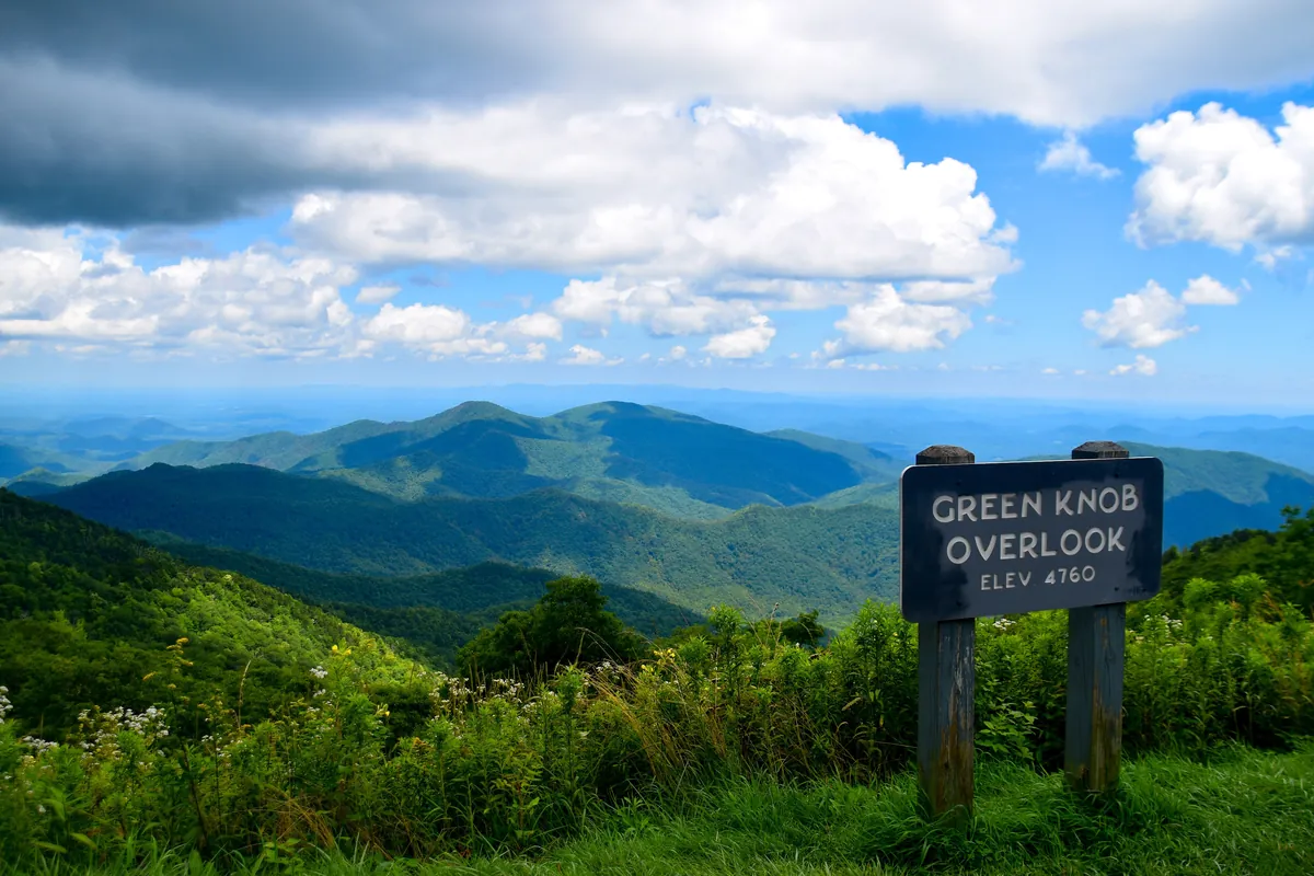
The National Park Service gives the short version of the color: “Trees put the ‘blue’ in Blue Ridge.” Its answer goes on to say that hydrocarbons the forest releases into the air give the mountains their color. The parkway’s air quality page goes a step further and says the range got its name from that bluish haze.
Scientists at Pacific Northwest National Laboratory, a federal research lab, explained the chemistry in 2016. The main compound is isoprene, a colorless gas that rises from the trees. In the air it reacts with other chemicals and forms tiny particles, and in the lab’s words, “These particles give the haze its blue color.” Our page on the Great Smoky Mountains, the mountains at the parkway’s southern end, tells the same story for the Smokies, including a 1913 writer who said both ranges “owe their names” to the mist.
The haze isn’t all natural anymore. The Park Service says visibility in the Southern Appalachians has dropped 40% in winter and 80% in summer over the last 50 years because of man-made pollutants. So a milky day on the parkway isn’t the same thing as the blue the range was named for.
The road came much later than the range’s name. The idea started when President Franklin D. Roosevelt toured Virginia’s new Skyline Drive in 1933, and Virginia’s Senator Harry Byrd proposed carrying it on south as far as Great Smoky Mountains National Park. Interior Secretary Harold Ickes signed off on the “park-to-park” road on November 24, 1933, as a public works job. According to the parkway’s National Historic Landmark nomination, by that December people were calling it the “Appalachian Park-to-Park Highway.” A hearing record from February 1934 calls it “The Shenandoah-Smoky Mountain Parkway.”
Where it would run was a fight. Planners first wanted the road to cross the Unaka Mountains into Tennessee, and Asheville’s business leaders lobbied hard for a route through their city instead. Their ally was Josephus Daniels, Roosevelt’s old boss in the Navy, and the Asheville route won. The nomination also notes an older dream: a private scenic road called the Crest of the Blue Ridge Highway, begun before World War I (the nomination gives both 1912 and 1914) and halted by the war, whose path the parkway follows for about a mile.
Crews broke ground near Cumberland Knob, North Carolina, on September 11, 1935, and the name became law the next year. The act of June 30, 1936, says the lands that Virginia and North Carolina deeded for “the projected parkway between the Shenandoah and Great Smoky Mountains National Parks” “shall be known as the Blue Ridge Parkway.” The landmark nomination says it was the first national parkway to be made a separate unit in the national park system.
Finishing it took half a century. About 170 miles were open when World War II began, and only half the parkway was done by the early 1950s. The Park Service’s Mission 66 push completed nearly all the rest, except for 7.7 miles around Grandfather Mountain, whose owner, Hugh Morton, fought the planned route. The Linn Cove Viaduct, built from the top down to spare the mountainside, opened in 1987 and completed the 469-mile route.
Blue Ridge Parkway Road Trip
The Park Service says the Blue Ridge itself runs from north Georgia into Pennsylvania, and the parkway crosses several mountain ranges within it. At Afton Mountain in Virginia, Skyline Drive heads north through Shenandoah National Park and the parkway heads south. The Park Service is careful about one point: the parkway isn’t a national park in the strict sense, even though the same agency runs it.
There’s no entrance fee to drive it. The road is open all year, but sections can close for weather or maintenance, and most of its visitor centers, campgrounds and picnic grounds open only from spring to fall. Cell phones don’t work in many places along the route, so check the parkway’s road closures page before you set out.
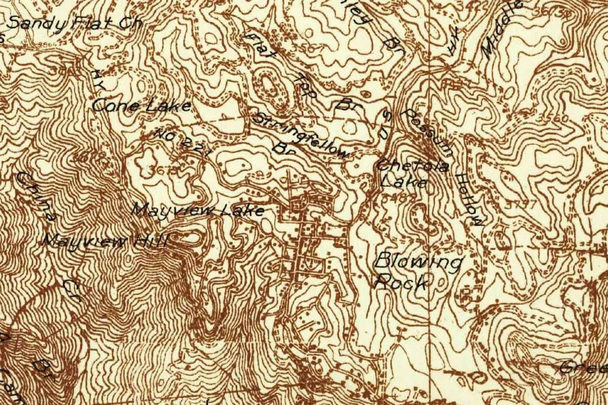
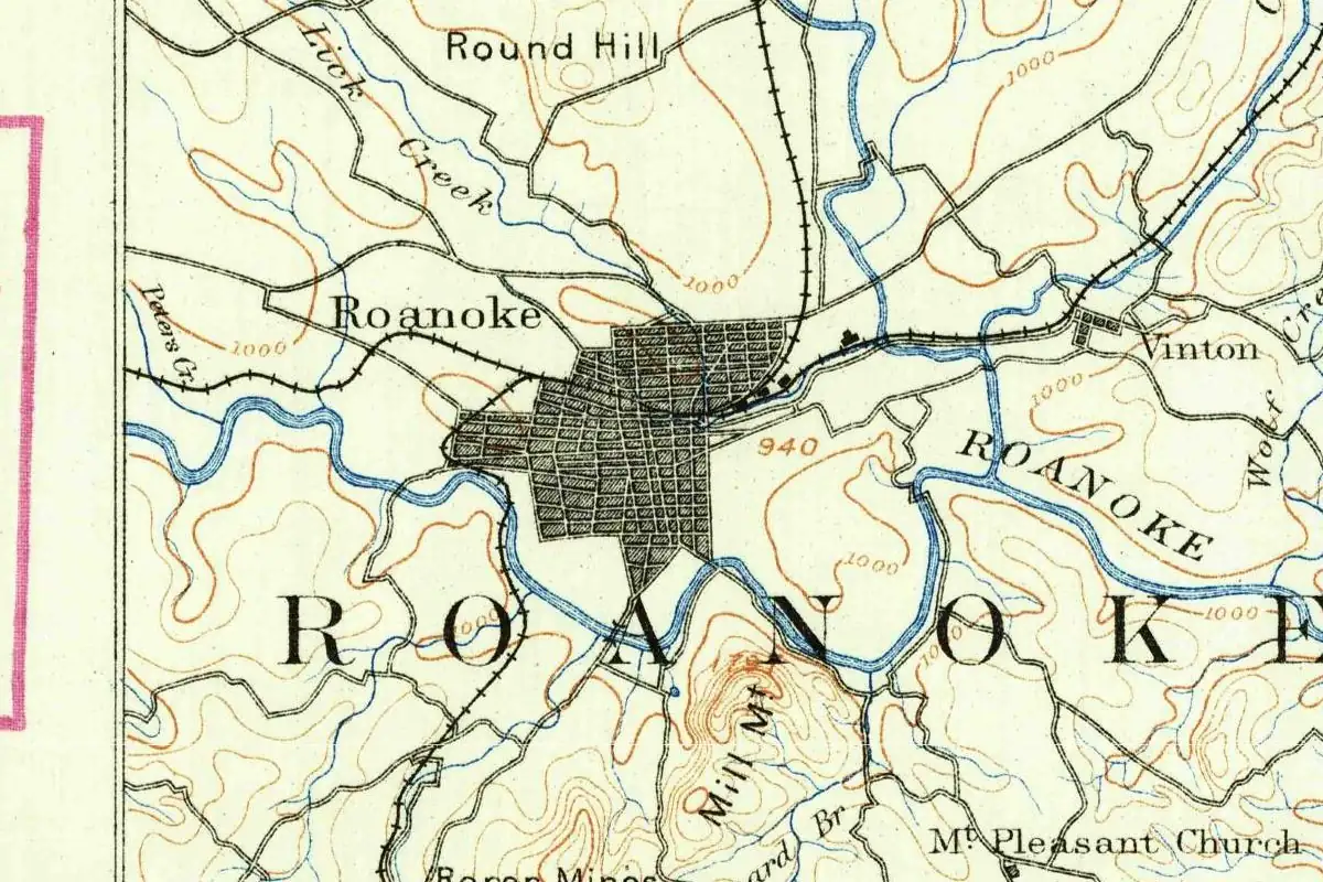
A long trip along the parkway passes towns with their own name stories. Asheville still had Morristown as its legal name in 1795, the year its court clerk began putting the new name in the minutes too soon. Roanoke, near the Virginia end, was called Big Lick until 1882. And in Blowing Rock, the town’s name comes from a cliff where, a 1913 book said, whatever you throw over gets hurled back.
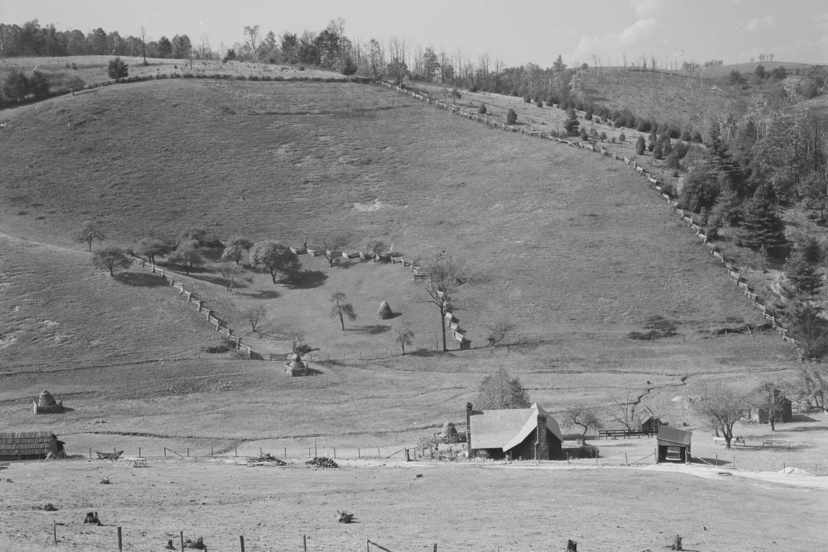
The photo at the bottom of this page is from October 1940, when the parkway was only five years into construction. Marion Post Wolcott took it for the Farm Security Administration from the new road in Virginia, looking down on a farm.
Quick answers
Why is it called the Blue Ridge Parkway?
Because it follows the Blue Ridge, the part of the Appalachians named for its bluish haze. Congress made the name official in the act of June 30, 1936.
Why do the Blue Ridge Mountains look blue?
Because of the trees. According to the National Park Service, the haze that colors the mountains comes from hydrocarbons the forest gives off, and a 2016 report from a federal lab says the isoprene from trees forms tiny particles that “give the haze its blue color.”
Is the Blue Ridge Parkway a national park?
No. The Park Service calls it “technically a national parkway, not a national park,” but it runs the parkway the same way it runs national parks.
When was the Blue Ridge Parkway finished?
In 1987. Construction began in 1935, and the Linn Cove Viaduct at Grandfather Mountain was the last link in the 469-mile road.
Key dates
- 1912Work starts on the private Crest of the Blue Ridge Highway (1914 in another passage of the same nomination).
- 1933November 24: Interior Secretary Harold Ickes signs off on the "park-to-park" road as a public works job.
- 1934February: a federal committee hears North Carolina's case for "The Shenandoah-Smoky Mountain Parkway."
- 1935September 11: Construction begins near Cumberland Knob, North Carolina.
- 1936June 30: Congress declares that the lands "shall be known as the Blue Ridge Parkway."
- 1987The Linn Cove Viaduct opens, completing the 469-mile route.
- 2016Federal scientists report that particles formed from isoprene give the Blue Ridge haze its blue color.
Find it in Google Maps
Opens in a new tab. The pin is a point from the USGS place-name record, so it may not be the middle of the area.
Sponsored
Planning a visit?
Compare hotels in the area on Expedia.
See hotels nearbyWe may earn a commission if you buy through this link. It never changes what we write. Read our affiliate disclosure
Historical Sources & References
- National Park Service, Blue Ridge Parkway, “Frequently Asked Questions”. “Trees put the ‘blue’ in Blue Ridge,” the hydrocarbons from the forest, the Blue Ridge from north Georgia into Pennsylvania, Afton Mountain and Skyline Drive, “technically a national parkway, not a national park,” no entrance fee, closures and seasonal facilities.
- National Park Service, Blue Ridge Parkway, “Air Quality”. The range’s name “originated because of the bluish haze caused by hydrocarbons released by trees,” and the 40% and 80% loss of visibility over 50 years from man-made pollutants.
- Pacific Northwest National Laboratory, “How Trees Change the Atmosphere” (2016). Isoprene from trees reacts in the air to form particles: “These particles give the haze its blue color.” The study behind it is Liu and others, Environmental Science & Technology 50 (2016).
- 16 U.S. Code § 460a-2 (act of June 30, 1936, 49 Stat. 2041). The lands for “the projected parkway between the Shenandoah and Great Smoky Mountains National Parks” “shall be known as the Blue Ridge Parkway.”
- National Park Service, “Construction of the Parkway”. Roosevelt and Skyline Drive in 1933, Byrd, Ickes’s approval on November 24, 1933, the Unaka route, Asheville and Josephus Daniels, the start on September 11, 1935, 170 miles open at the start of World War II, Mission 66, Hugh Morton and the 7.7 miles at Grandfather Mountain, and the Linn Cove Viaduct of 1987.
- National Historic Landmark Nomination, Blue Ridge Parkway. The “Appalachian Park-to-Park Highway” of December 1933, the Radcliffe Committee’s 1934 hearing on “The Shenandoah-Smoky Mountain Parkway,” the Crest of the Blue Ridge Highway of 1912-1917 (mileposts 317.6 to 318.7), the act of June 30, 1936, and the first national parkway made a separate unit of the park system.
- National Park Service, Foundation Document, Blue Ridge Parkway (2016). Appendix A: authorized and established by the act of June 30, 1936 (P.L. 74-848, 49 Stat. 2041).
- Marion Post Wolcott, “Looking down on farm from Blue Ridge Parkway, Virginia” (1940). The photo at the bottom of this page, made for the Farm Security Administration; the Library of Congress lists no known restrictions on images made by the U.S. government.
- GNIS feature 1019883, Cumberland Knob (U.S. Geological Survey). The summit in Surry County, North Carolina, near where construction began, used for this page’s map point. The parkway itself has no entry in the federal place-names database.
Spot something wrong, or know more? Tell us here. You can also email us or use our contact page. Corrections are noted here with their date, never made silently.