De Soto, Missouri: The Town That Redrew Itself for Rails
In 1872 De Soto, Missouri, disincorporated and redrew its own limits so the railroad’s shops would sit outside them, free of town taxes. The town itself carries the name of Hernando de Soto, the Spanish explorer, and a local history says the two men who laid it out in 1857 chose it.
Fletcher, Rankin and an explorer’s name
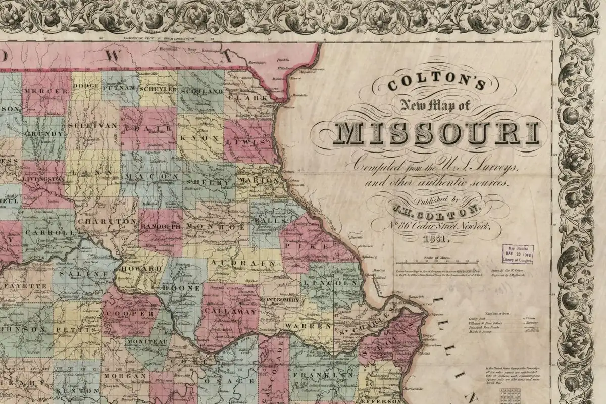
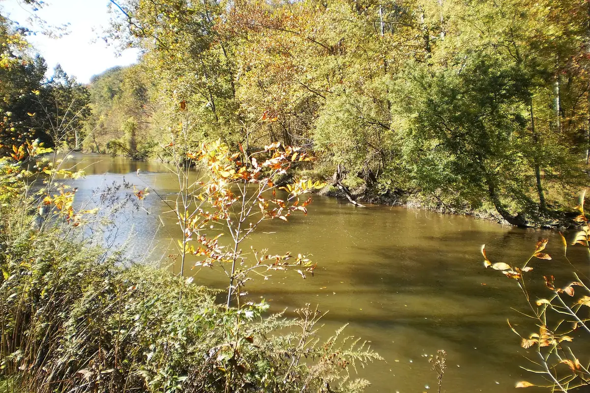
The county history Goodspeed published in 1888 has the founding in one sentence: the town “was laid out in September, 1857, by Thomas C. Fletcher (later governor) and Louis James Rankin.” It sits on Joachim Creek and on the Iron Mountain railroad, forty-two miles (68 km) from St. Louis. The first house on the site went up in 1855, built by Col. John W. Fletcher, who put a steam sawmill near the spot where the railroad shops later stood. The first postmaster was C. B. Fletcher, the future governor’s father.
Goodspeed never says why the town is called De Soto. The only source found that explains it is a short history “compiled from the archives of the DeSoto Public Library” by the town’s Bicentennial Calendar Committee, now posted on the Jefferson County MOGenWeb site. It credits the same two founders: Fletcher and Rankin, it says, named the town for the explorer Hernando de Soto. It adds that they built a station house for the railroad themselves.
So the explorer behind the name isn’t in much doubt, since no source offers another De Soto, but the detail that Fletcher and Rankin picked it rests on that one modern compilation. It isn’t a claim that the explorer ever walked this valley, and none of the sources here says he did.
The year De Soto redrew its own map
Here’s the part you won’t guess from the name. De Soto was incorporated as “The Town of De Soto” on February 12, 1869. Early in 1872 it went after the St. Louis, Iron Mountain & Southern’s main machine shops. The railroad’s offer, dated May 7, was simple: if the town gave the company a tract inside its limits and exempted it, and whatever was built on it, from town taxes, the company would put up the principal shops of its Northern Division there.
The town said yes, and then had a legal problem to fix. To make the land tax-free, De Soto “was disincorporated August 12, 1872, by the county court, and reincorporated under the same name,” with boundaries drawn to leave the railroad’s tract out. On August 31 voters let the trustees buy the land, and $25,000 in bonds paid for it.
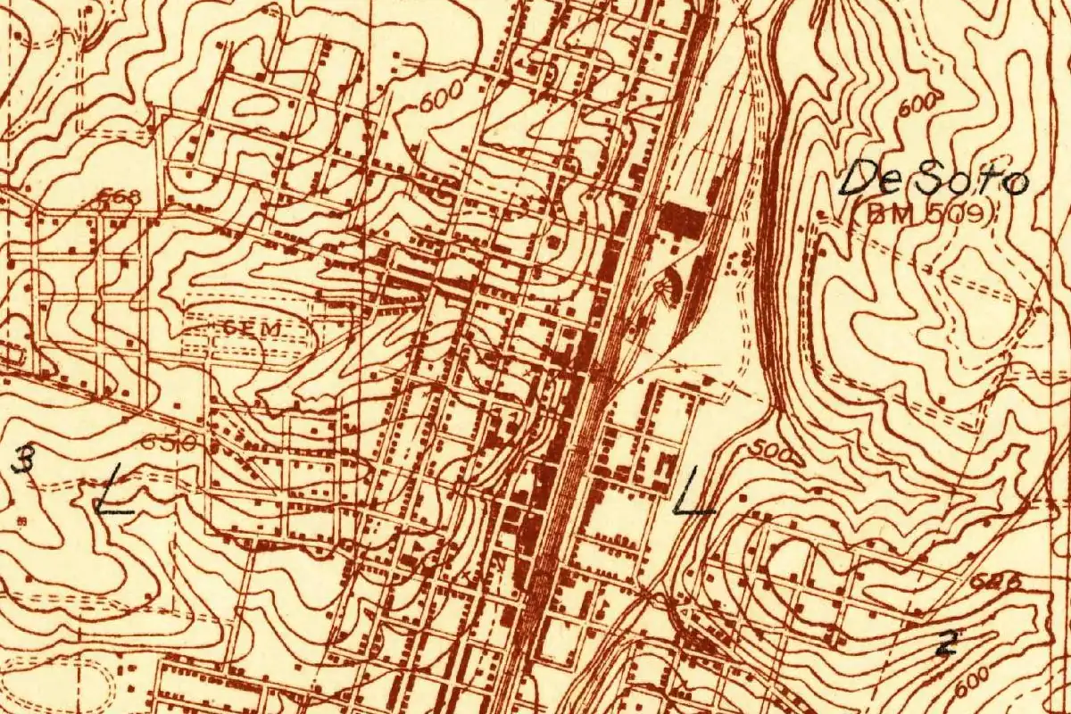
Campbell’s Missouri gazetteer of 1875 caught the result while it was still news. De Soto was “the largest town in the county,” it said, and had “recently appropriated $25,000” to buy land for the shops, “thus securing their location and early erection at this point.” It counted about 2,500 people. Look at the 1930 survey map and you can see where the deal landed: a long band of tracks and big buildings down the east side of downtown.
Quick answers
Who was De Soto, Missouri, named after?
Hernando de Soto, the Spanish explorer. A town history compiled from the DeSoto Public Library’s archives says founders Thomas C. Fletcher and Louis James Rankin chose the name; it’s the only source found that says who did.
When was De Soto laid out?
In September 1857, by Fletcher and Rankin, according to the 1888 Goodspeed county history.
Why did De Soto disincorporate in 1872?
To give the Iron Mountain railroad its shop land free of town taxes. The county court disincorporated the town on August 12, 1872, and it reincorporated with limits that left the railroad’s tract outside.
Key dates
- 1857Thomas C. Fletcher and Louis James Rankin lay out the town in September (Goodspeed).
- 1869The county court incorporates "The Town of De Soto" on February 12 (Goodspeed).
- 1872De Soto is disincorporated on August 12 and reincorporated with new limits; voters approve buying the railroad's land on August 31 (Goodspeed).
Getting there
Open De Soto in Google Maps
Opens in a new tab. The pin is the center of De Soto in the USGS place-name record.
The closest airports, Amtrak stations and intercity bus stops, measured in a straight line from the center of De Soto.
Airports
- St Louis Lambert International (STL) St. Louis 43 mi 70 km
- Scott AFB/Midamerica St Louis (BLV) Belleville 48 mi 77 km
Amtrak trains
- Kirkwood station (KWD) 32 mi 51 km
- Arcadia station (ACD) 38 mi 61 km
Intercity buses
- OurBus Chesterfield, MO (Chesterfield Mall - Cheesecake Factory - Mall loop) 35 mi 57 km
- Greyhound Washington E 14th St 38 mi 60 km
- Executive Transportation Amtrak Connecting Service · St. Louis 39 mi 62 km
Distances are as the crow flies, not by road. We don't list schedules or fares because they change; check with the airline, Amtrak or the bus company before you go. Official data (FAA commercial service airports (2025), FAA airport locations, Amtrak stations and Intercity Bus Atlas) from the FAA and the U.S. Bureau of Transportation Statistics, checked Nov 6, 2026.
Sponsored
Staying in De Soto?
Compare hotels in De Soto, Missouri, on Expedia.
See hotels in De SotoWe may earn a commission if you buy through this link. It never changes what we write. Read our affiliate disclosure
Historical Sources & References
- History of Franklin, Jefferson, Washington, Crawford & Gasconade Counties, Missouri (Goodspeed, 1888), pp. 431-432. The 1857 layout by Fletcher and Rankin, the first house of 1855, the first postmaster, the incorporation of 1869 and the shop deal of 1872, with the disincorporation, the vote and the $25,000 in bonds.
- Campbell’s Gazetteer of Missouri, revised ed. (1875), p. 284. De Soto as the county’s largest town, the $25,000 for the machine-shop land and a population of about 2,500.
- A History of DeSoto, compiled from the archives of the DeSoto Public Library by the Bicentennial Calendar Committee (Jefferson County MOGenWeb). Fletcher and Rankin naming the town for Hernando de Soto, the 1857 plat and the station house they built.
- GNIS feature 716761 (U.S. Geological Survey). Federal names data for De Soto, in Jefferson County.
Spot something wrong, or know more? Tell us here. You can also email us or use our contact page. Corrections are noted here with their date, never made silently.