Dennison, Ohio: The Governor Who Owned a Share
Dennison, Ohio, is named for William Dennison, Ohio’s Civil War governor, who was also one of the ten men in the land company that laid it out. The 1884 History of Tuscarawas County says so plainly: the town “was named after Hon. William Dennison, Ohio’s famous war Governor.” What makes the story fun is the twist that comes a few lines later.
A railroad town by design
Dennison didn’t grow on its own. The county history says the town “was conceived in the councils of the Pittsburgh, Cincinnati & St. Louis Railway Company,” the line people called the Pan-Handle. The railroad wanted a midpoint between Pittsburgh and Columbus for its shops and division offices, and this spot fit. It was 93 miles (150 km) from Pittsburgh and 100 miles (161 km) from Columbus, and the book explains that steeper grades on the eastern end made the two runs equal “from an operative standpoint.”
That’s why the book calls Dennison “the ‘Altoona of the Pan-Handle road,’” comparing it to the Pennsylvania Railroad’s shop town in Altoona.
The governor in the land company
When the shop site was settled, a group called the Dennison Land Company bought between 400 and 500 acres (about 160 to 200 hectares) from three landowners, John Welch Sr., Isaac Osbun and Alex Huston. The book lists the company’s ten members, and you’ll find some well-known names among them: Thomas A. Scott, J. Edgar Thomson and William Dennison himself.
Here’s the twist. By 1884, Dennison’s share had been bought by M. Moody of Uhrichsville. The history calls it “remarkable” that “the one for whom the town was named is the only member of the original company not now connected with it either by himself or family.” The town kept his name after he’d sold out.
The Geological Survey’s 1905 bulletin on place-name origins, by Henry Gannett, is a little more cautious. It says Dennison was “named, probably, for Gov. William Dennison.” The county history, written while the land company was still running, doesn’t hedge.
Mud first, shops second
The land company bought in 1864, and the town was laid out in 1865. The shops were begun in 1864 and occupied in 1865. The site wasn’t promising. “The ground was low, and, in some places, swampy,” the book says, and in wet weather mud was “the most common article” on the streets.
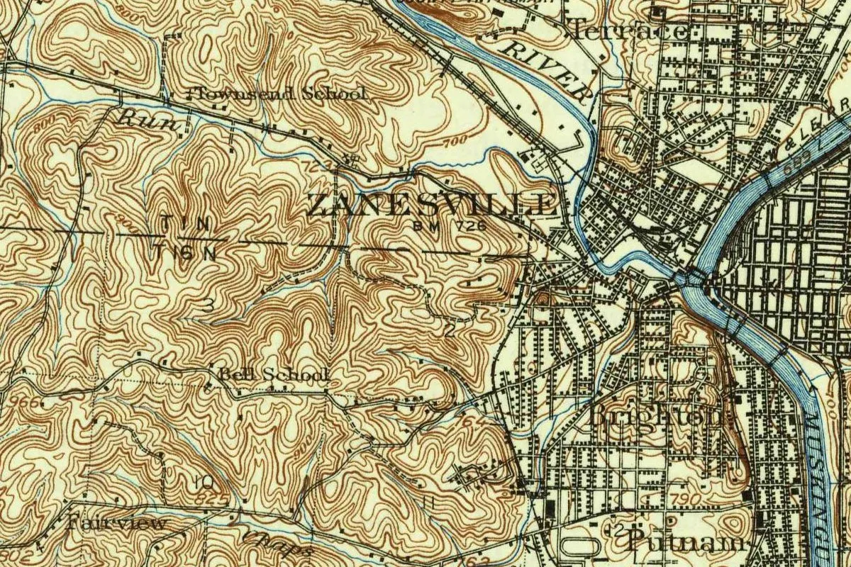
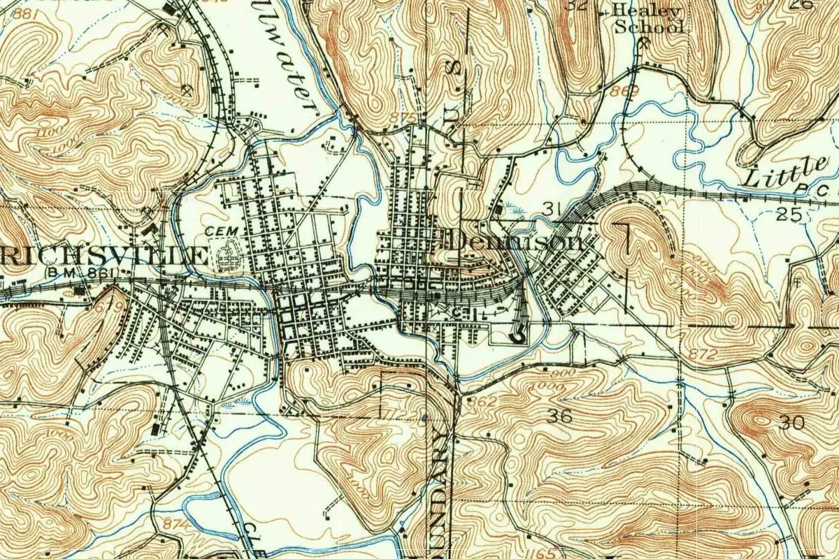
Still, the numbers climbed. The census counted 800 people in 1870 and 1,607 in 1880. On the 1909 survey sheet, you can pick out Dennison’s grid pressed up against Uhrichsville’s, with Little Stillwater Creek as the line between them.
Quick answers
Which William Dennison gave the town its name?
William Dennison, governor of Ohio during the Civil War, according to the 1884 History of Tuscarawas County. Gannett (1905) says “probably” Gov. William Dennison.
Why was Dennison, Ohio, built?
The Pittsburgh, Cincinnati & St. Louis Railway chose the site for its principal shops and division offices, about midway between Pittsburgh and Columbus.
Did William Dennison own land in Dennison?
He was one of the ten members of the Dennison Land Company, but by 1884 his share had been sold to M. Moody, the county history says.
Key dates
- 1864The Dennison Land Company buys the land, and the railroad shops are begun.
- 1865Dennison is laid out as a town, and the shops are completed and occupied.
- 1870The federal census counts 800 people in Dennison.
- 1880The census counts 1,607, about double the 1870 figure.
Getting there
Open Dennison in Google Maps
Opens in a new tab. The pin is the center of Dennison in the USGS place-name record.
The closest airports, Amtrak stations and intercity bus stops, measured in a straight line from the center of Dennison.
Airports
- Akron-Canton Regional (CAK) 37 mi 59 km
- Pittsburgh International (PIT) 58 mi 94 km
Amtrak trains
- Alliance station (ALC) 39 mi 62 km
- Pittsburgh station (PGH) 71 mi 114 km
Intercity buses
- Barons Bus Lines New Philadelphia 10 mi 17 km
- GoBus New Philadelphia (E), OH 10 mi 17 km
- Greyhound Cambridge Marathon 30 mi 48 km
Distances are as the crow flies, not by road. We don't list schedules or fares because they change; check with the airline, Amtrak or the bus company before you go. Official data (FAA commercial service airports (2025), FAA airport locations, Amtrak stations and Intercity Bus Atlas) from the FAA and the U.S. Bureau of Transportation Statistics, checked Nov 6, 2026.
Sponsored
Staying in Dennison?
Compare hotels in Dennison, Ohio, on Expedia.
See hotels in DennisonWe may earn a commission if you buy through this link. It never changes what we write. Read our affiliate disclosure
Historical Sources & References
- The History of Tuscarawas County, Ohio (1884), pp. 594-596. The town “named after Hon. William Dennison, Ohio’s famous war Governor”; the “Altoona of the Pan-Handle road”; the distances to Pittsburgh and Columbus; the ten members of the Dennison Land Company and the sale of Dennison’s share; the dates 1864 and 1865; the census figures; the low, swampy ground. The sketch of Dennison was written by W. A. Pittenger.
- Henry Gannett, The Origin of Certain Place Names in the United States (1905), p. 104. Dennison, “named, probably, for Gov. William Dennison.”
- William D. Overman, Ohio Town Names (1958). Dennison “to have been named for Governor (Ohio) William Dennison” (the online copy is a restricted loan, so we read search excerpts).
- GNIS feature 1064529 (U.S. Geological Survey). The USGS record placing Dennison in Tuscarawas County.
Spot something wrong, or know more? Tell us here. You can also email us or use our contact page. Corrections are noted here with their date, never made silently.