Brownsville, Texas: A Fort's Name for a Fallen Major
Brownsville, Texas, is named for Fort Brown, the U.S. Army post across the Rio Grande from Matamoros. The fort, first called Fort Texas, was renamed for Major Jacob Brown, its commander, who died after Mexican shelling in May 1846. In 1848 Charles Stillman and Samuel Belden laid out a town beside it and called it Brownsville.
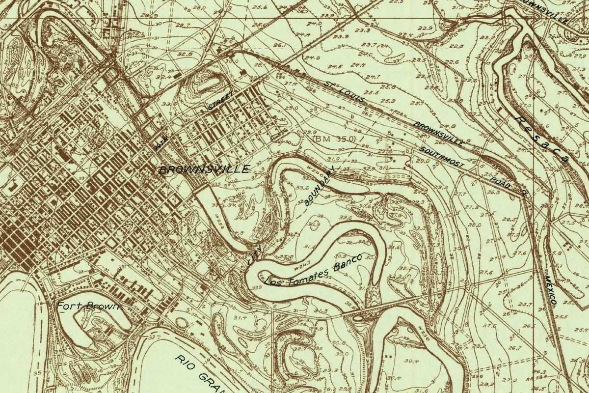
A fort first called Fort Texas
Major Jacob Brown died of a shell wound in May 1846 inside an earthen fort on the Rio Grande, and Brownsville, Texas, got its name from that fort. The Army renamed the post Fort Brown in his honor, and two years later the men who laid out a town beside it called it Brownsville.
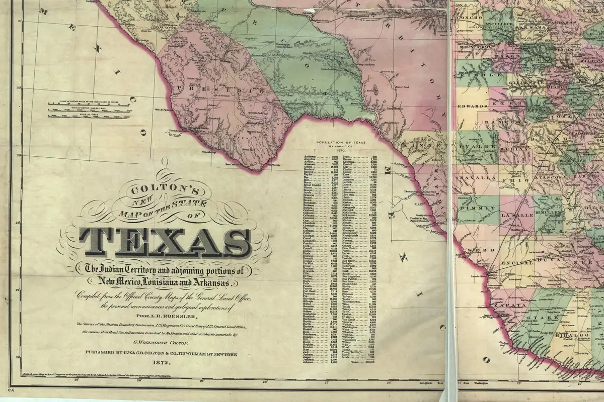
The fort came first. The Handbook of Texas says Zachary Taylor’s army reached the Rio Grande on March 26, 1846, to hold the river as the southern edge of Texas, right across from Matamoros. In April Taylor’s men threw up an earthen fort with six bastions, walls more than 9 feet (2.7 m) high and a ditch 15 feet (4.6 m) deep around it. It was called Fort Texas, and Major Brown commanded the Seventh Infantry and two artillery companies that held it.
“Its heroic and indomitable commander”
Mexican forces in Matamoros bombarded the fort, and when Taylor’s troops came up from Point Isabel with supplies, Mariano Arista’s army met them. The first battles of the war, Palo Alto and Resaca de la Palma, were fought on May 8 and 9. At 10 o’clock that second night, from a camp 3 miles (5 km) from Matamoros, Taylor wrote to the Army’s adjutant general in Washington:
“It affords me peculiar pleasure to report, that the field work opposite Matamoras has sustained itself handsomely during the cannonade and bombardment of 160 hours. But this pleasure is alloyed with profound regret at the loss of its heroic and indomitable commander, Major Brown, who died to-day from the effects of a shell.”
That’s the moment the name was set in motion. The Handbook says Brown was buried inside the fort shortly after he died and the post was named in his honor. The National Park Service gives the exact date: on May 17, 1846, Taylor issued an order officially naming the site Fort Brown. Notice that Taylor’s report doesn’t use a name at all; it calls the post “the field work opposite Matamoras.” About a week later it officially had a new one.
From Fort Brown to Brownsville
So Fort Texas was a name for the fort, not for the town, which didn’t exist yet. The town came after the war. In 1848, the Handbook says, the merchant Charles Stillman bought a large piece of an old Spanish land grant north and northwest of Matamoros, and he and his partner Samuel Belden laid out a town that they called Brownsville. A deputy surveyor named George Lyons measured off a townsite of 4,676 acres. In December 1848 Stillman, Belden and Simon Mussina formed the Brownsville Town Company and started selling lots for as much as $1,500 each.
The name stuck fast. On January 13, 1849, Brownsville became the seat of the brand-new Cameron County, and a post office opened on February 3. The fort grew up next door. In 1848 the Army built permanent quarters a quarter mile (0.4 km) north of the first earthwork, and a brick wall known as the Quarter Master’s Fence divided the post from the community that became the city.
What the name doesn’t tell you is how messy the land under it was. The Handbook says Stillman bought from the children of José Narciso Cavazos’s first wife, while the heirs of his second wife, led by Juan N. Cortina, held legal title. That started a long series of lawsuits. The question of who really owned the townsite wasn’t settled until 1879, when the U.S. Supreme Court ruled for the Stillman group.
Not every Brownsville is named for this Brown
Henry Gannett’s 1905 guide to American place names, published by the U.S. Geological Survey, puts it in one line: Brownsville, in Cameron County, was “named for Major Brown, who was killed there at the beginning of the war with Mexico.” Just above it, Gannett lists a Brownsville in Fayette County, Pennsylvania, named for two early settlers, the brothers Thomas and Basil Brown.
So if you meet a Brownsville somewhere else, don’t assume it’s the same story. This one isn’t about a founding family at all. It’s a town named for a fort, named for a major who never saw the town, because it didn’t exist until two years after he died.
Quick answers
Who was Brownsville, Texas, named after?
Major Jacob Brown, indirectly. The town took the name of Fort Brown, which was named for him after he died following the Mexican bombardment of the fort in May 1846.
Was Brownsville ever called Fort Texas?
No. Fort Texas was the first name of the Army’s earthen fort. It became Fort Brown in May 1846, and the town of Brownsville was laid out next to it in 1848.
When was Brownsville, Texas, founded?
In 1848, when Charles Stillman and Samuel Belden laid out the town and began selling lots through the Brownsville Town Company in December. It became the Cameron County seat on January 13, 1849.
How did Major Brown die?
From the effects of a shell, Zachary Taylor reported on May 9, 1846, after Mexican guns had bombarded the fort for days. Taylor called him the fort’s “heroic and indomitable commander.”
Key dates
- 1846March 26: Zachary Taylor's army reaches the Rio Grande across from Matamoros and in April builds an earthen fort, at first called Fort Texas.
- 1846May 9: Major Jacob Brown, the fort's commander, dies from the effects of a shell after days of bombardment from Matamoros.
- 1846May 17: Taylor issues an order officially naming the post Fort Brown, according to the National Park Service.
- 1848Charles Stillman and Samuel Belden lay out a town beside the fort and call it Brownsville; in December the Brownsville Town Company starts selling lots.
- 1849January 13: Brownsville becomes the seat of the new Cameron County.
- 1879The U.S. Supreme Court rules for the Stillman group in the long fight over who owned the townsite.
Getting there
Open Brownsville in Google Maps
Opens in a new tab. The pin is the center of Brownsville in the USGS place-name record.
The closest airports, Amtrak stations and intercity bus stops, measured in a straight line from the center of Brownsville.
Airports
- Brownsville/South Padre Island International (BRO) 4 mi 7 km
- Valley International (HRL) Harlingen 24 mi 39 km
Intercity buses
- Greyhound Brownsville Bus Station under 1 mi 0.2 km
Distances are as the crow flies, not by road. We don't list schedules or fares because they change; check with the airline, Amtrak or the bus company before you go. Official data (FAA commercial service airports (2025), FAA airport locations, Amtrak stations and Intercity Bus Atlas) from the FAA and the U.S. Bureau of Transportation Statistics, checked Nov 13, 2026.
Sponsored
Staying in Brownsville?
Compare hotels in Brownsville, Texas, on Expedia.
See hotels in BrownsvilleWe may earn a commission if you buy through this link. It never changes what we write. Read our affiliate disclosure
Historical Sources & References
- Z. Taylor, report of May 9, 1846, in Messages of the President of the United States… on the Subject of the Mexican War (1848), p. 296. Taylor’s report from his camp 3 miles from Matamoros: the fort’s 160 hours of bombardment and Major Brown’s death “from the effects of a shell,” quoted above.
- Henry Gannett, The Origin of Certain Place Names in the United States, 2nd ed. (1905), p. 58. Brownsville, Texas, “named for Major Brown, who was killed there at the beginning of the war with Mexico,” and the Pennsylvania Brownsville named for Thomas and Basil Brown.
- Elizabeth Pettit Davenport, “Fort Brown,” Handbook of Texas Online. Fort Texas as the first name, Taylor’s arrival on March 26, 1846, the size of the earthwork, Brown’s death on May 9 and the naming in his honor, and the move to permanent quarters in 1848.
- Alicia A. Garza and Christopher Long, “Brownsville, TX,” Handbook of Texas Online. Stillman and Belden laying out “a town that they called Brownsville,” the 4,676-acre survey, the Brownsville Town Company of December 1848, the county seat and post office of 1849, and the Cavazos land dispute settled in 1879.
- National Park Service, “Experience Fort Brown”. The order of May 17, 1846, officially naming the site Fort Brown, and the town taking its name from the fort.
- GNIS feature 1372749 (U.S. Geological Survey). Brownsville’s place-name entry as a populated place in Cameron County, with the coordinates used here.
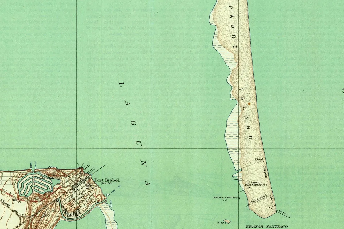
- U.S. Geological Survey, East Brownsville sheet (1930). The source of the map at the top of this page.
Spot something wrong, or know more? Tell us here. You can also email us or use our contact page. Corrections are noted here with their date, never made silently.