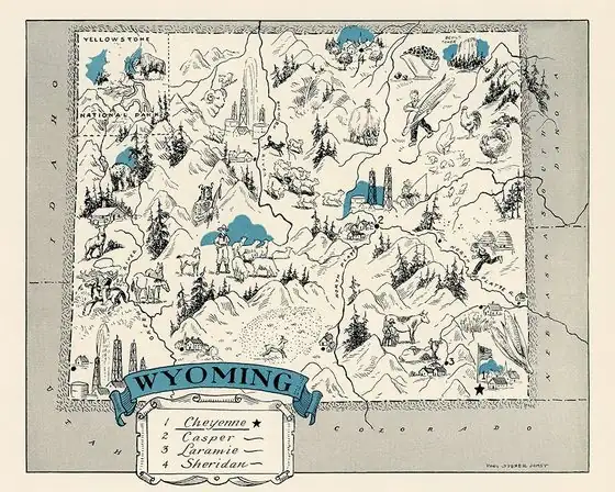
Gillette, Wyoming: A Surveyor's Reward for Donkey Town
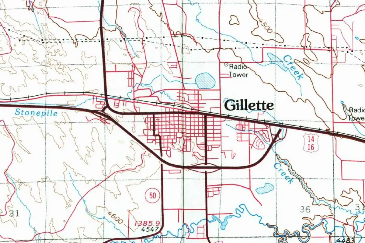
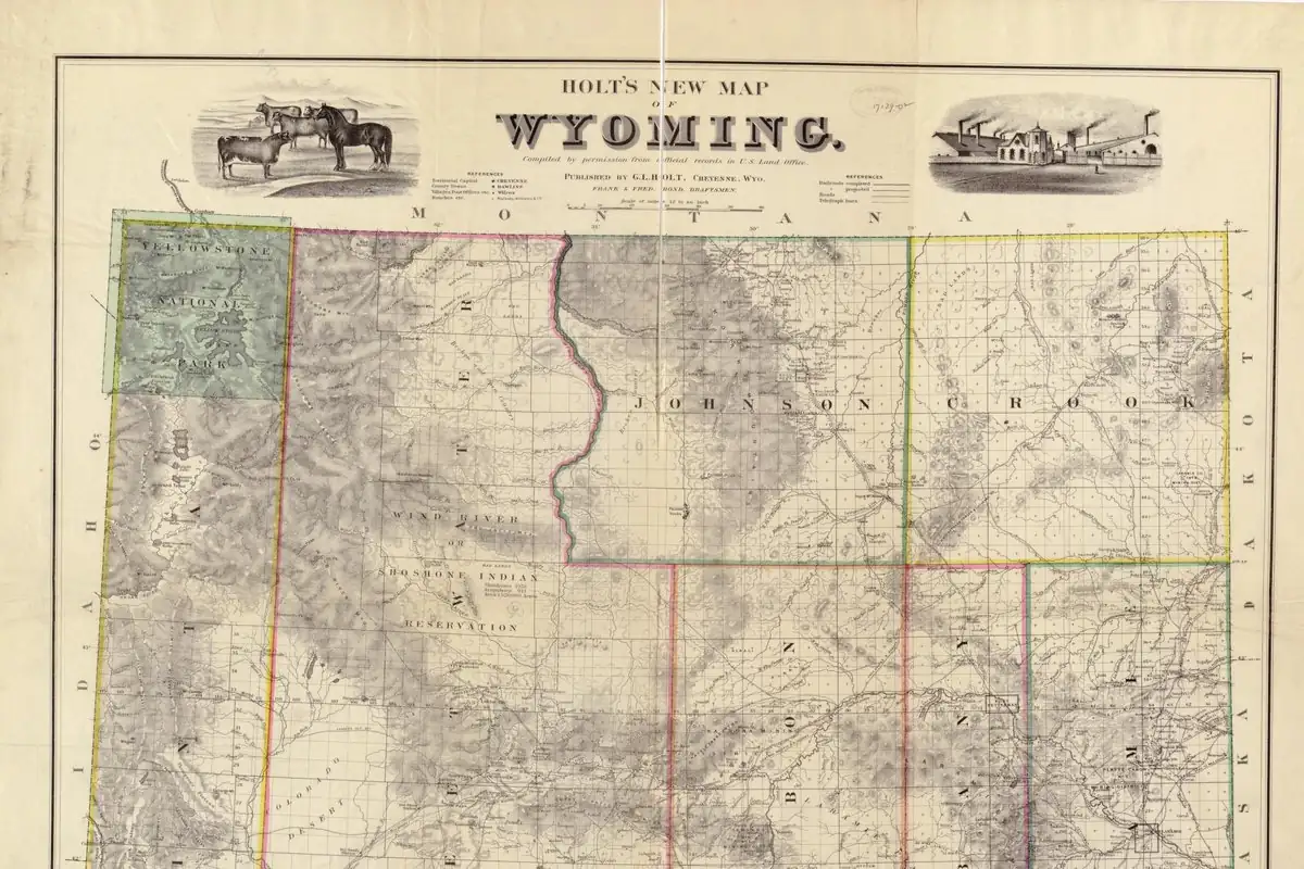
Gillette, Wyoming, was a tent camp called Donkey Town until the railroad renamed it for Edward Gillette, the surveyor whose crew found it a shorter route. His men had been hoping for a cash bonus. What they got was a town with their boss’s name on it.
The bonus that turned into a name
Edward Gillette was Connecticut born and a Yale graduate, and he’d never been west of New York before 1878, Jessica Salzman writes in a 2023 profile on the Wyoming State Historical Society’s website, WyoHistory.org. That year the Army hired him as an assistant topographer in New Mexico. By 1884 he was running a locating party for the Burlington & Missouri River Railroad, the crew whose job was to find the cheapest workable line by weighing grades, distance and everything else.
In the late 1880s his team was working out a route between Donkey Creek and Hay Creek, in what was then Wyoming Territory. They found one that was five miles (8 km) shorter, needed less grading and took 30 fewer bridges. The men were excited, Salzman says, because they figured a bonus was coming. Instead, the chief engineer wrote to the crew that Donkey Town, the tent town on Donkey Creek, would be renamed Gillette as their reward.
The 1942 roster of names in the Annals, drawn from files kept by the state’s historians, gives the short version: the town was “Named for E. Gillette, civil engineer who directed the construction of the Billings line for the Burlington.” If you’re keeping score, that’s a slightly bigger job than Salzman describes, but both put the same man behind the name.
End of the tracks, for one year
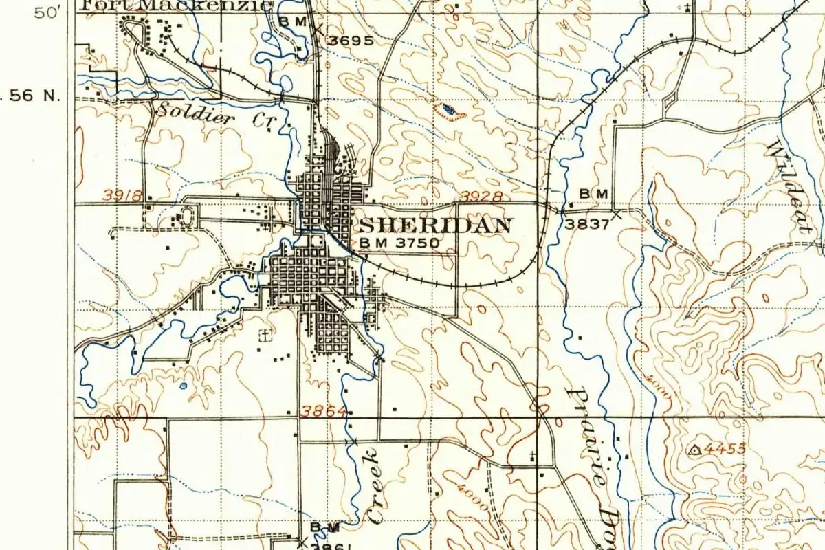
The Burlington and Missouri River Railroad got to Gillette in August 1891, Rebecca Hein writes in WyoHistory.org’s history of Campbell County. For about a year it was the end of the line, with a railroad commissary and a small boom that faded once the tracks reached Sheridan in November 1892. Gillette incorporated that same year, Hein says. The state history I. S. Bartlett put together in 1918 calls it a division point on the line from Lincoln, Nebraska, to Billings, Montana, and says it got the county offices once Campbell County was formed. Bartlett is vaguer about the incorporation, which he puts “about the beginning of the present century.”
Gillette himself kept moving west ahead of the rails, Salzman says, and chose the route through Sheridan. He later ran the Burlington’s western lines and served as Wyoming’s state treasurer from 1907 to 1911. And if you go looking for his house in Gillette, you won’t find one: he spent the second half of his life in Sheridan, not in the town that carries his name.
Quick answers
Why is the town called Gillette?
Edward Gillette, the Burlington’s locating engineer. His survey crew found a shorter route for the railroad, and Salzman says the chief engineer renamed the camp for him as a reward.
What was Gillette, Wyoming, called before?
Donkey Town, the tent camp on Donkey Creek, in Salzman’s account.
Did Edward Gillette live in Gillette?
No. Salzman writes that the town “got its name from a man who never lived there.” He made his home in Sheridan.
Key dates
- 1884Edward Gillette starts leading a locating party for the Burlington & Missouri River Railroad.
- 1891The railroad reaches Gillette in August, and the town is the end of the line for about a year.
- 1892The tracks reach Sheridan in November, and Gillette incorporates that year.
- 1907Edward Gillette begins four years as Wyoming's state treasurer.
Getting there
Open Gillette in Google Maps
Opens in a new tab. The pin is the center of Gillette in the USGS place-name record.
The closest airports, Amtrak stations and intercity bus stops, measured in a straight line from the center of Gillette.
Airports
- Northeast Wyoming Regional (GCC) Gillette 4 mi 7 km
- Sheridan County (SHR) 80 mi 129 km
Intercity buses
- Jefferson Lines Gillette 1 mi 2 km
- Express Arrow Buffalo 58 mi 94 km
Distances are as the crow flies, not by road. We don't list schedules or fares because they change; check with the airline, Amtrak or the bus company before you go. Official data (FAA commercial service airports (2025), FAA airport locations, Amtrak stations and Intercity Bus Atlas) from the FAA and the U.S. Bureau of Transportation Statistics, checked Nov 6, 2026.
Sponsored
Staying in Gillette?
Compare hotels in Gillette, Wyoming, on Expedia.
See hotels in GilletteWe may earn a commission if you buy through this link. It never changes what we write. Read our affiliate disclosure
Historical Sources & References
- Jessica Salzman, “Edward Gillette: Surveyor, Statesman, Entrepreneur,” WyoHistory.org (2023). His career from 1878, the Donkey Creek to Hay Creek route, the hoped-for bonus and Donkey Town renamed Gillette; the Sheridan route, the treasurer’s office and his life in Sheridan.
- “Wyoming Place Names,” Annals of Wyoming 14, no. 3 (July 1942), p. 235. “Named for E. Gillette, civil engineer who directed the construction of the Billings line for the Burlington.”
- Rebecca Hein, “Campbell County, Wyoming,” WyoHistory.org. The railroad’s arrival in August 1891, the year as terminus, Sheridan in November 1892 and the incorporation.
- I. S. Bartlett, ed., History of Wyoming, vol. 1 (1918), p. 577. Gillette as a division point and the county seat of Campbell County.
- GNIS feature 1609094 (U.S. Geological Survey). Where the U.S. names database puts Gillette, in Campbell County.
Spot something wrong, or know more? Tell us here. You can also email us or use our contact page. Corrections are noted here with their date, never made silently.