Brainerd, Minnesota: A Railroad Wife or a Missionary?
Most sources say Brainerd honors Ann Eliza Brainerd Smith, wife of Northern Pacific president J. Gregory Smith: an 1881 regional history, Warren Upham in 1920 and the city itself. Henry Gannett wrote in 1905 that it was named for David Brainerd, a missionary to the Indians. An earlier suggested name, Ogemaqua, was dropped.
Brainerd, Minnesota, was a Northern Pacific town from the start, and most sources say it’s named for the railroad president’s wife, Ann Eliza Brainerd. A 1905 Geological Survey bulletin disagreed and gave the name to a missionary instead.
A crossing on the Mississippi
The town exists because of where the railroad crossed the river. Warren Upham, in his 1920 book on Minnesota place names, says Brainerd was “founded in 1870, when the Northern Pacific survey determined that the crossing of the Mississippi should be here.” The first train, a special, arrived on March 11, 1871, and regular passenger service began that September.
The railroad’s arrival ended an older town. Crow Wing, a fur-trading settlement downriver, had more than 500 residents in the mid-1800s, according to the Minnesota DNR, and only one of its buildings is left, the Beaulieu House of 1849. The DNR says many of the others “were dismantled and carted away as the Northern Pacific Railway located ten miles upriver at a crossing later named ‘Brainerd.’” That’s about 16 km.
The president’s wife
The fullest early account is in the History of the Upper Mississippi Valley, published in 1881. “The present name was chosen in honor of the wife of J. Gregory Smith, first President of the Northern Pacific Railroad Company,” it says, “Mrs. Smith’s family name being Brainerd.”
Upham quoted that passage in 1920 and filled in the family. Ann Eliza (Brainerd) Smith was a daughter of Lawrence Brainerd of St. Albans, Vermont, an abolitionist and a U.S. senator in 1854-55. Her husband, John Gregory Smith, was governor of Vermont from 1863 to 1865 and president of the Northern Pacific from 1866 to 1872. Upham adds that she wrote novels and travel books, and quotes a family genealogy saying that after the Confederate raid on St. Albans on October 19, 1864, “a commission as Lieutenant-Colonel was issued to her for gallantry and efficient service on that occasion.”
Smith got something too. Upham says he’s remembered by Gregory Park, or Square, in Brainerd. The city’s history says the town plat, signed on September 19, 1871, and filed six days later, carried the name “Brainerd” and a square marked “Gregory Square.” It explains the pairing this way: “Since Mr. Smith objected to the proposed town names of ‘Smithville’ and ‘Smithton,’ his wife’s maiden name was chosen for the town name and Mr. Smith’s middle name was chosen for the town square.”
Other stops on the line carry the names of railroad men, too. Fargo, at the Northern Pacific’s Red River crossing, honors one of its directors, and so does Livingston, Montana.
The missionary version
Henry Gannett told it differently in 1905. His entry reads: “Brainerd; city in Crow Wing County, Minnesota, named for David Brainerd, a celebrated missionary to the Indians.”
Gannett doesn’t give a source for that, and none of the Minnesota accounts cited here mention the missionary. The 1881 history was written while the town was barely ten years old, Upham repeated it in 1920, and the city tells the same story today. That’s why most of the weight sits with Mrs. Smith. But Gannett’s entry is still in print, so the missionary version hasn’t gone away.
The names that came first
The town nearly had another name. The 1881 history says “the name first suggested for this place was ‘Ogamagua,’ in honor of Mrs. Emma Bolliou, a woman of rare personal beauty, to whom the Indians gave the name mentioned, meaning Queen, or Chief Woman.” When Upham quoted the same sentence in 1920, he spelled the names “Ogemaqua” and “Emma Beaulieu.”
The city’s history gives a different word and a different meaning: “The first settlers had wanted the name to be ‘Ocamacua,’ Indian word for ‘The Crossing.’” Neither source says where its translation came from, so you should treat both as what those writers were told. Upham also records that the Ojibwe called the new railroad town “Oski-odena, New Town.”
From city to township and back
Brainerd didn’t settle into its government right away either. Upham says it was organized as a city on March 6, 1873. An act of the legislature on January 11, 1876, replaced that with a township government, and Brainerd became a city again on November 19, 1881. If you’re counting, that’s a city, a township and a city again in under nine years.
The 1915 map
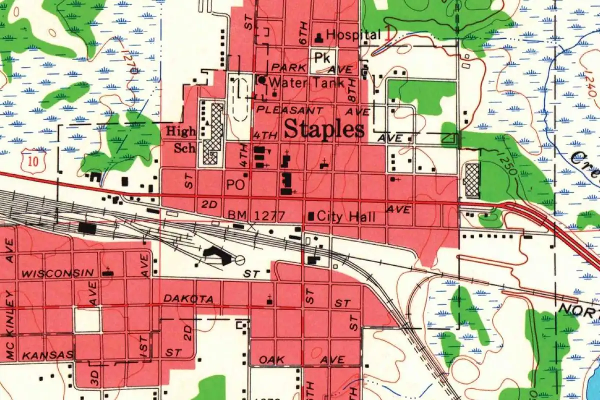
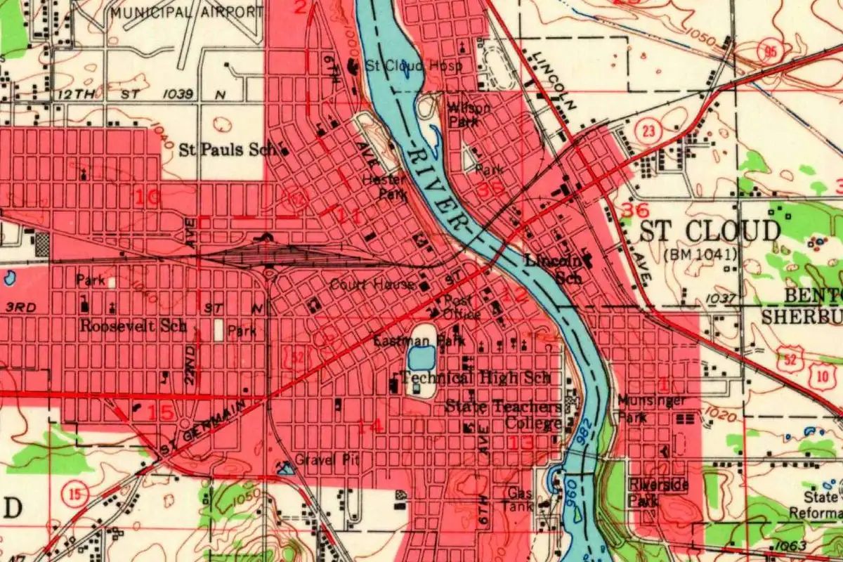
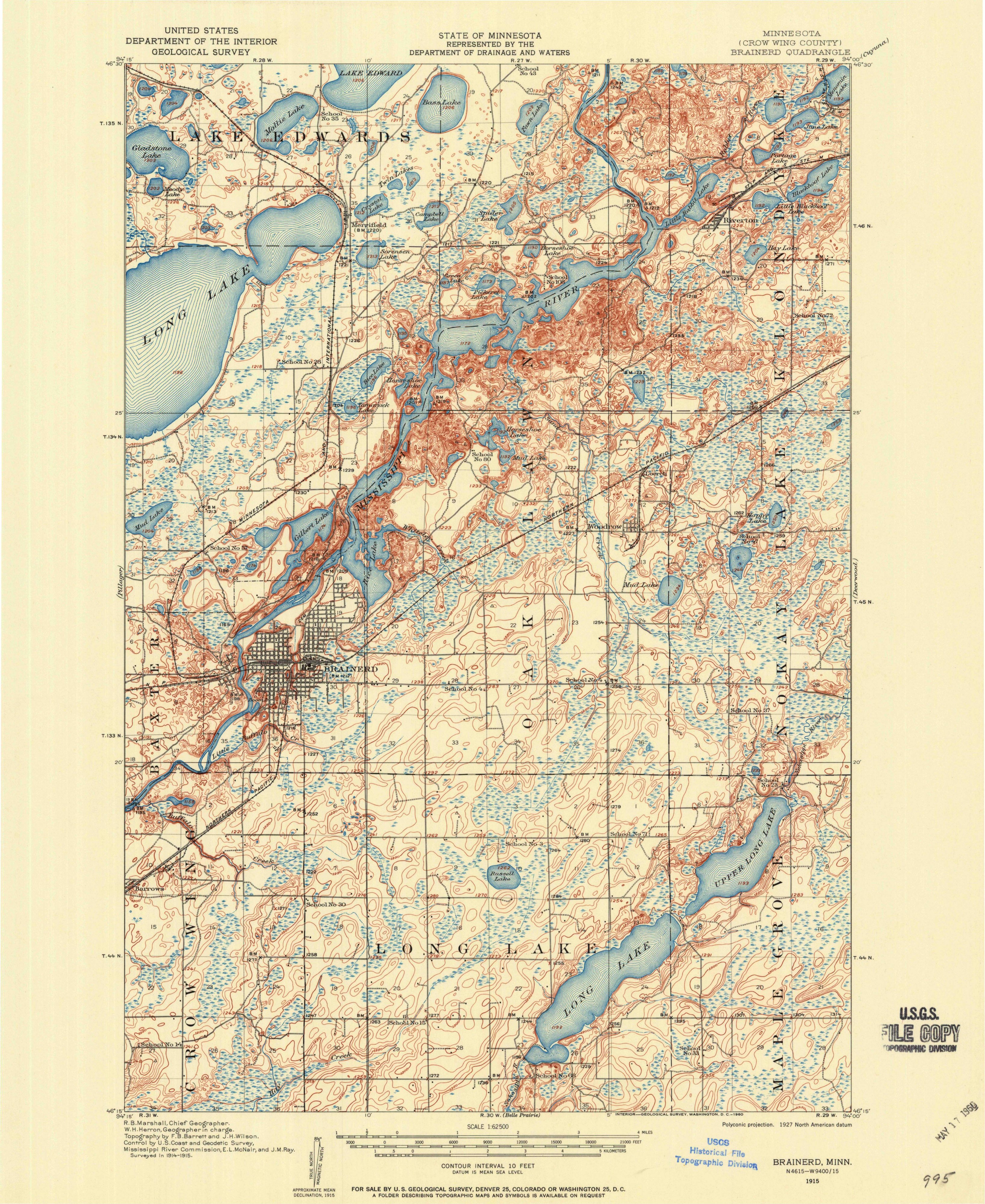
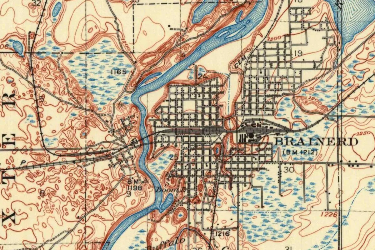
The map at the top of this page comes from the Geological Survey’s Brainerd sheet of 1915. Two street grids face each other across the river, with the railroad running straight through the larger one, labeled BRAINERD, and marshes spread around the edges. The Paul Bunyan State Trail now runs north from Crow Wing State Park to Bemidji, and Staples is another town on the Northern Pacific. The city’s history says Brainerd built a concrete water tower in 1919 and 1920. The tower in the photo below is a newer one, but it carries the same name.
Quick answers
Who is Brainerd, Minnesota, named after?
Most sources say Ann Eliza Brainerd Smith, the wife of Northern Pacific president J. Gregory Smith. That’s the version in the 1881 History of the Upper Mississippi Valley, in Upham (1920) and on the city’s website.
Was Brainerd named for the missionary David Brainerd?
That’s what Henry Gannett wrote in 1905, without a source. The Minnesota accounts, starting in 1881, credit Mrs. Smith instead.
What was Brainerd almost called?
The 1881 history says the first name suggested was “Ogamagua,” for a woman named Emma Bolliou; Upham spells it “Ogemaqua.” The city says settlers wanted “Ocamacua.”
When was Brainerd founded?
In 1870, when the Northern Pacific chose its Mississippi crossing there, according to Upham. The first train arrived on March 11, 1871.
Key dates
- 1849Fur trader Clement Beaulieu builds his house at Crow Wing, downriver.
- 1870Brainerd is founded when the Northern Pacific survey fixes its Mississippi crossing here, Upham writes.
- 1871The first train reaches Brainerd on March 11; the town plat, with the name Brainerd, is signed on September 19.
- 1873Brainerd is organized as a city on March 6.
- 1876The legislature replaces the city government with a township on January 11.
- 1881Brainerd becomes a city again on November 19, and a regional history records the name Ogamagua as the first one suggested.
- 1905Henry Gannett credits the name to the missionary David Brainerd.
- 1920The city's concrete water tower is finished; Warren Upham's place-name book backs the Smith version.

Things to do in Brainerd, Minnesota
Crow Wing State Park
The site of Crow Wing, a riverfront town of more than 500 people in the mid-1800s. Its last building is the Beaulieu House of 1849, and the park says many of the others were carted off when the Northern Pacific crossed ten miles (16 km) upriver at Brainerd.
Paul Bunyan State Trail
A paved trail of 115 miles (185 km) from Crow Wing State Park to Lake Bemidji State Park, mostly on a former Burlington Northern grade. The DNR calls it Minnesota's longest state trail and the longest continuously paved rail-trail in the country.
Northland Arboretum
A nonprofit nature preserve founded in 1972 on the site of the old Brainerd landfill, with over 400 acres (162 ha), 12 miles (19 km) of trails, wetlands and a jack pine forest that it calls one of only five in Minnesota.
Historic water tower
Brainerd's concrete water tower went up in 1919 and 1920. The city calls it the first all-concrete elevated tank used by a municipality in the United States; it served until 1958 and was added to the State Inventory of Historic Sites in 1972.
Getting there
Open Brainerd in Google Maps
Opens in a new tab. The pin is the center of Brainerd in the USGS place-name record.
The closest airports, Amtrak stations and intercity bus stops, measured in a straight line from the center of Brainerd.
Airports
- Brainerd Lakes Regional (BRD) 5 mi 7 km
- St Cloud Sky Central (STC) St. Cloud 57 mi 91 km
- Minneapolis-St Paul International/Wold-Chamberlain (MSP) 112 mi 181 km
Amtrak trains
- Staples station (SPL) 28 mi 46 km
- St. Cloud station (SCD) 55 mi 88 km
Intercity buses
- Jefferson Lines Brainerd 1 mi 2 km
- FlixBus Saint Cloud Metro Bus 55 mi 89 km
Distances are as the crow flies, not by road. We don't list schedules or fares because they change; check with the airline, Amtrak or the bus company before you go. Official data (FAA commercial service airports (2025), FAA airport locations, Amtrak stations and Intercity Bus Atlas) from the FAA and the U.S. Bureau of Transportation Statistics, checked Nov 16, 2026.
Sponsored
Staying in Brainerd?
Compare hotels in Brainerd, Minnesota, on Expedia.
See hotels in BrainerdWe may earn a commission if you buy through this link. It never changes what we write. Read our affiliate disclosure
Historical Sources & References
- History of the Upper Mississippi Valley (1881), p. 640. “Ogamagua,” Mrs. Emma Bolliou and the name chosen for the wife of J. Gregory Smith. Checked against the page image.
- Warren Upham, Minnesota Geographic Names (1920), p. 156. The 1870 crossing, the city and township dates, the 1881 passage with Upham’s spellings, the Brainerd and Smith families, the first train of March 11, 1871, and “Oski-odena.” Checked against the page image.
- Henry Gannett, The Origin of Certain Place Names in the United States (1905), p. 55. The David Brainerd entry. Checked against the page image.
- City of Brainerd, “History Notes”. “Ocamacua,” the plat of 1871, Gregory Square, “Smithville” and “Smithton,” and the water tower.
- Minnesota DNR, Crow Wing State Park virtual tour. Crow Wing, the Beaulieu House and the buildings carted away ten miles (16 km) upriver.
- Paul Bunyan State Trail; Northland Arboretum. The details in the things-to-do list.
- GNIS feature 640426 (U.S. Geological Survey). Brainerd’s place in the national names database, in Crow Wing County, with its coordinates.
- U.S. Geological Survey, Brainerd sheet (1915). The 1:62,500 map that the image at the top of this page was cropped from.
Sponsored
Put this 1915 map on your wall
The 1915 USGS Brainerd sheet, surveyed in 1914 and 1915 and scanned from a 1960 printing, is in the public domain. Download the full-size scan for free, then have it printed on canvas with CanvasOnTheCheap.
Print a map on canvasDownload the full-size mapWe may earn a commission if you buy through this link. It never changes what we write. Read our affiliate disclosure
Spot something wrong, or know more? Tell us here. You can also email us or use our contact page. Corrections are noted here with their date, never made silently.