Chillicothe, Ohio: The Shawnee Name on Ohio's First Capital
Chillicothe takes its name from one of the four divisions of the Shawnee, whose village of that name was the tribe's chief town, the Smithsonian's Handbook of American Indians said in 1907. The Park Service translates it as 'principal town,' but the Handbook says the word's meaning is lost. Nathaniel Massie laid the town out in 1796.
Chillicothe, Ohio, the state’s first capital, carries the name of a Shawnee division and of the villages the Shawnee treated as their chief town. What the word itself means is another matter. Ask three sources and you’ll get three different answers.
A Shawnee division and its town
The fullest early account is in the Smithsonian’s Handbook of American Indians North of Mexico, published in 1907. Its entry, signed by James Mooney of the Bureau of American Ethnology, begins: “One of the four tribal divisions of the Shawnee. The division is still recognized in the tribe, but the meaning of the word is lost.”
The name went with the people. “The Chillicothe always occupied a village of the same name,” Mooney wrote, “and this village was regarded as the chief town of the tribe. As the Shawnee retreated w. before the whites, several villages of this name were successively occupied and abandoned.” He counted several in Ohio. One stood on Paint Creek, near today’s town in Ross County, by 1774, and Kentuckians destroyed it in 1787. Others were on the Little Miami, where Daniel Boone was held prisoner in 1778, and at the site of Piqua.
Henry Howe noticed the pattern too. His Historical Collections of Ohio, published in 1850, says “Chillicothe appears to have been a favorite name with the Indians for their towns, there having been several of that name.” Howe also quotes Col. John Johnston, who said Chillicothe was “the name of one of the principal tribes of the Shawanoese,” and that the Shawnee would say “Chillicothe otany, i. e., Chillicothe town.”
Three meanings
Here’s where the sources part ways.
The National Park Service, which runs Hopewell Culture National Historical Park at Chillicothe, says “the name derives from a Shawnee word for principal town.” The city’s own history says the same, calling the Shawnee form “Cha-la-gaw-tha.”
Henry Gannett, citing Gatschet in 1905, gave something else entirely: “The correct Shawnee form signifies ‘man made perfect.’”
And Mooney, two years later, said the meaning of the word “is lost,” even though the division itself was “still recognized in the tribe.”
All three agree on where the name came from, the Shawnee division and its town. They don’t agree on what the word means, so this page gives you all three and doesn’t pick one.
Massie’s town and the first capital
The Ohio town got the name in 1796. “In August of this year, 1796, Chillicothe was laid out by Col. Nathaniel Massie, in a dense forest,” Howe wrote. The city’s history says Massie laid out 456 lots.
It moved up fast. Howe says the seat of the Northwest Territory’s government moved from Cincinnati to Chillicothe in 1800, and the old statehouse went up in 1800 and 1801. The convention that wrote Ohio’s first constitution met there in November 1802. “In April, 1803, the first state legislature met in the house, and held their sessions until 1810.”
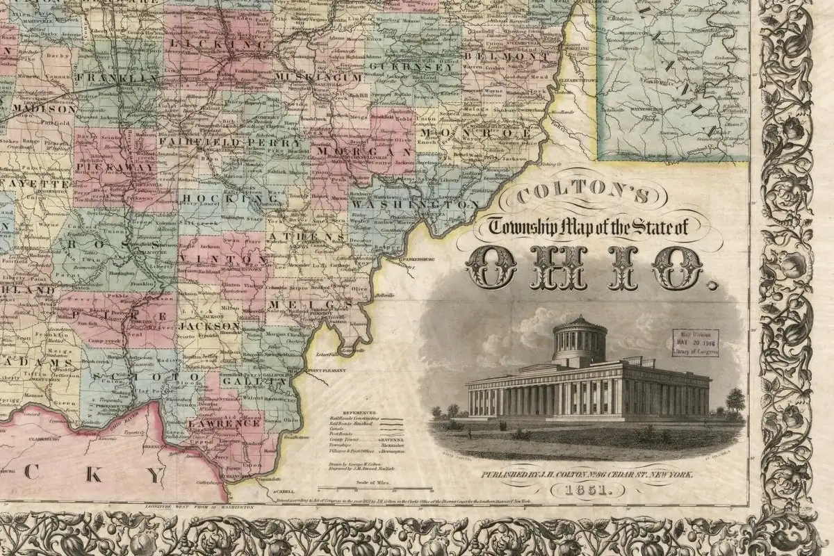
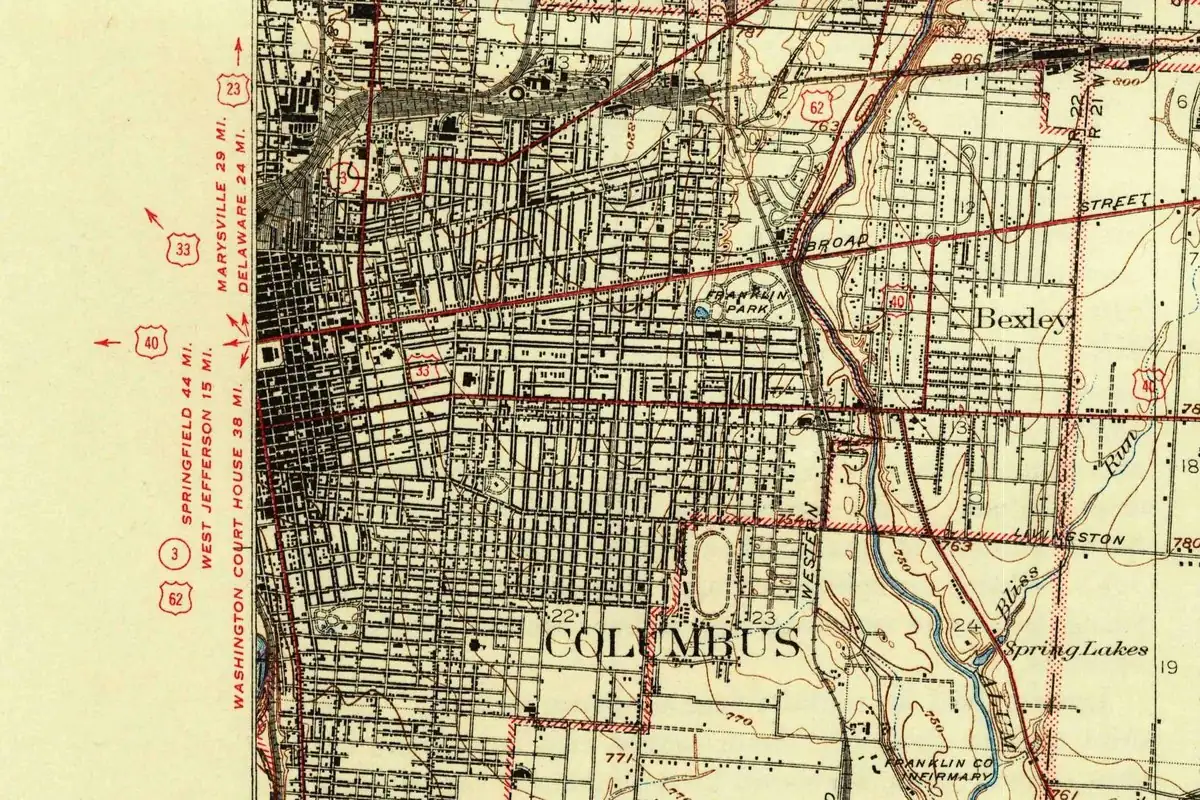
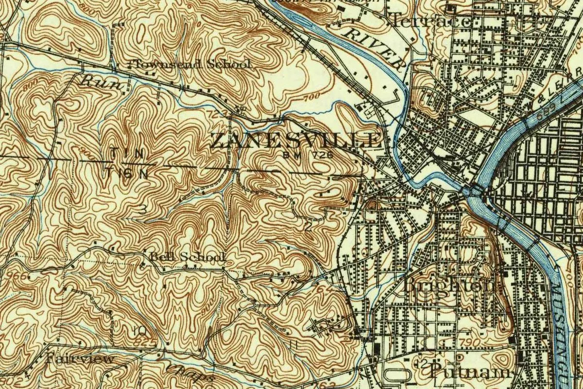
Then the capital wandered. The legislature went to Zanesville, came back to Chillicothe, and in 1816 moved to Columbus, the city’s history says.
Other Chillicothes
Gannett listed a city of Chillicothe in Illinois, towns in Iowa and Missouri, and the Ohio city, all “named from a Shawnee subtribe.” There was even one in Kansas. In Olathe, Kansas, the town’s founder, Dr. John T. Barton, had been physician to the Shawnees at a place called Chillicothe, west of today’s Shawnee, Kansas. James Mooney also wrote the handbook’s entry on the Shawnee leader whose name is on Tecumseh, Nebraska.
The 1906 map
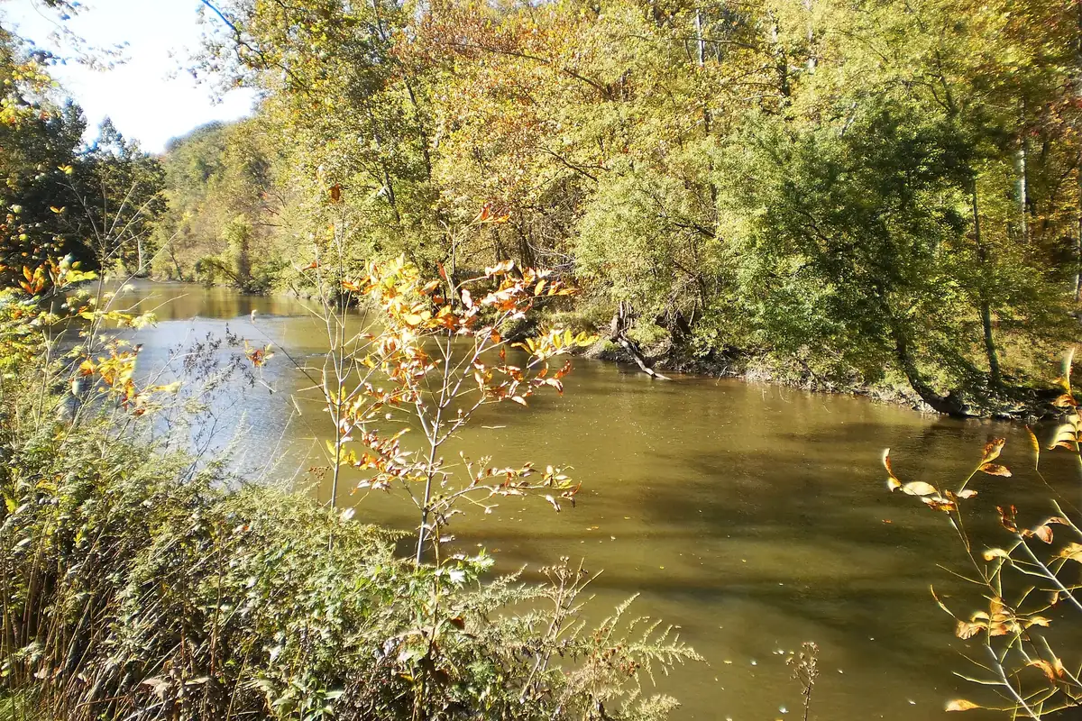
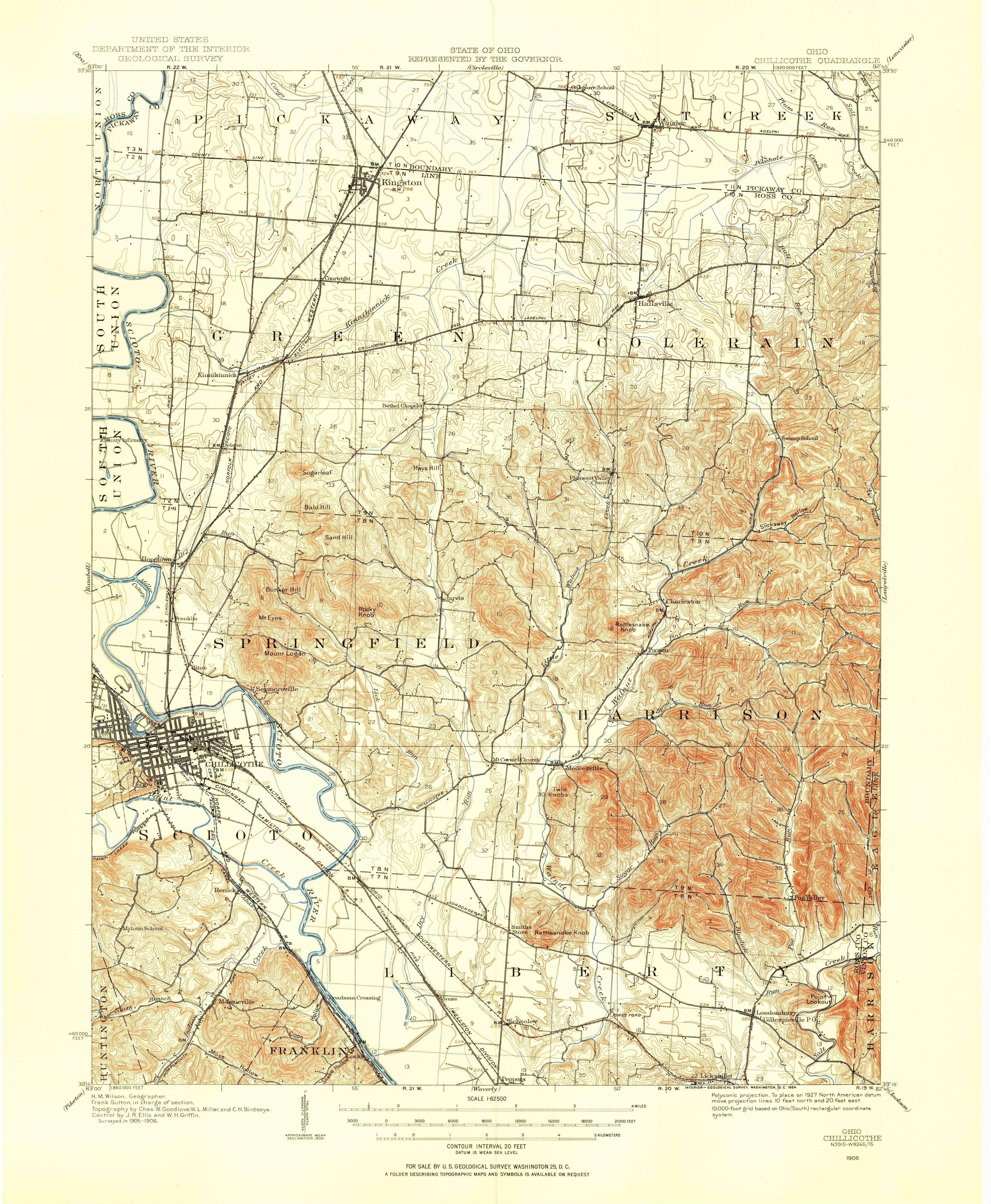
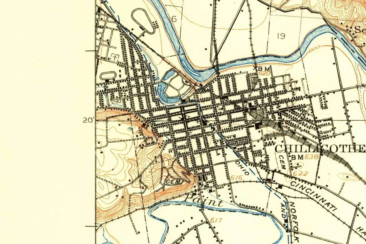
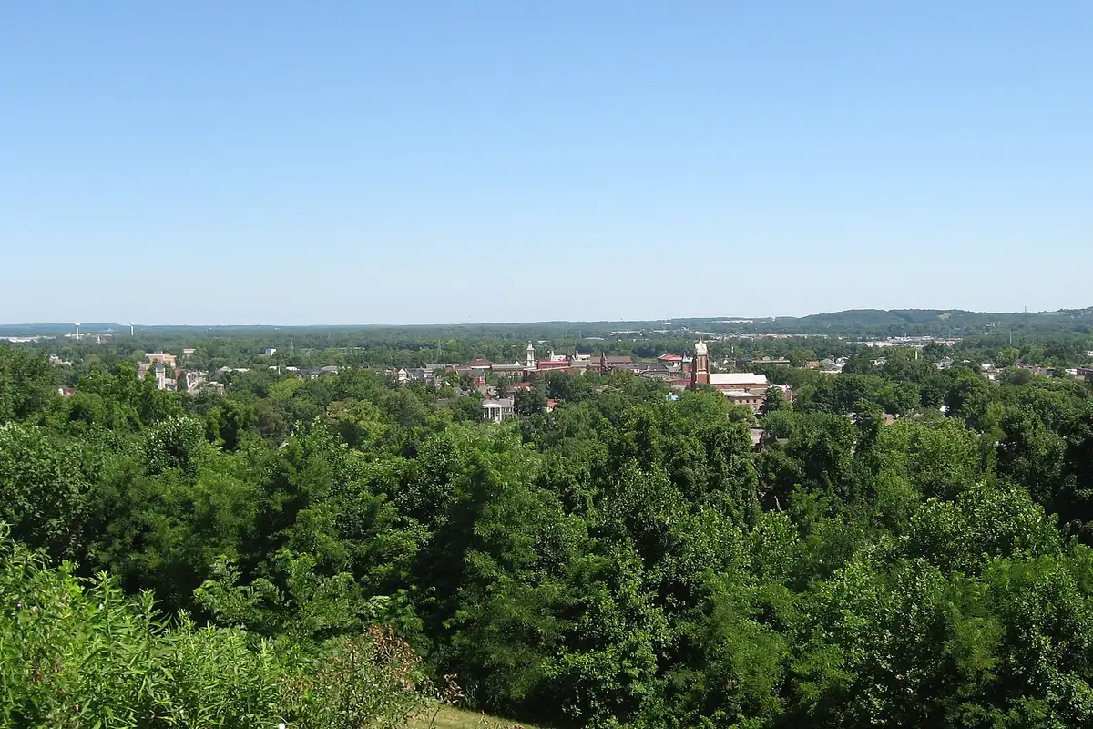
The map at the top of this page comes from the Geological Survey’s Chillicothe sheet, surveyed in 1905 and 1906. This copy was printed in 1954. The city’s grid fills the ground between the Scioto River to the north and Paint Creek to the south, the creek where a Shawnee Chillicothe stood until 1787. The view from the hill southwest of downtown is in the photo below.
Quick answers
What does Chillicothe mean?
The sources don’t agree. The National Park Service says it comes from “a Shawnee word for principal town.” Gannett, citing Gatschet, gave “man made perfect.” The Handbook of American Indians (1907) says the meaning “is lost.”
How do you pronounce Chillicothe?
The National Park Service writes it “chil-akoth-E.”
Why was Chillicothe named Chillicothe?
For the Shawnee. Chillicothe was one of the four divisions of the tribe, and its village of the same name was the tribe’s chief town, Mooney wrote. Several Shawnee towns called Chillicothe stood in Ohio, one on Paint Creek near the present city.
Was Chillicothe the capital of Ohio?
Yes. Ohio’s first state legislature met there in 1803 and stayed until 1810, Howe wrote. The capital moved to Columbus in 1816.
Key dates
- 1774A Shawnee village called Chillicothe stands on Paint Creek, near the site of today's town, by this year.
- 1787Kentuckians destroy the Paint Creek village, the Handbook of American Indians says.
- 1796In August, Nathaniel Massie lays out the town of Chillicothe.
- 1800The seat of the Northwest Territory's government moves from Cincinnati to Chillicothe.
- 1803Ohio's first state legislature meets in the statehouse at Chillicothe.
- 1810The legislature leaves Chillicothe for Zanesville.
- 1816The capital moves to Columbus for good, the city's history says.
Things to do in Chillicothe, Ohio
Hopewell Culture National Historical Park
Mound City Group and other sites where, the Park Service says, Native Americans built dozens of monumental mounds and earthen enclosures nearly 2,000 years ago. The visitor center is at the Mound City Group.
Adena Mansion & Gardens
The home of Thomas Worthington, one of Ohio's first U.S. senators and its sixth governor, called the father of Ohio statehood. The house was designed by Benjamin Latrobe and finished in 1807, with gardens on three terraces and a visitor center.
Ross County Heritage Center
The Ross County Historical Society's museum, with exhibits on how and why Chillicothe became Ohio's first capital, plus the Franklin House and the McKell Library.
Great Seal State Park
A park in the hills that are pictured on the Great Seal of Ohio, the park's namesake, with trails for hiking, mountain biking and horseback riding and views over the Scioto Valley.
Scioto Trail State Park
A wooded park of 218 acres (88 ha) just south of Chillicothe, inside the 9,000-acre (3,640 ha) Scioto Trail State Forest, with ridgetop views of the Scioto River Valley, camping and fishing.
Getting there
Open Chillicothe in Google Maps
Opens in a new tab. The pin is the center of Chillicothe in the USGS place-name record.
The closest airports, Amtrak stations and intercity bus stops, measured in a straight line from the center of Chillicothe.
Airports
- Rickenbacker International (LCK) Columbus 33 mi 54 km
- John Glenn Columbus International (CMH) 46 mi 74 km
Amtrak trains
- South Shore-South Portsmouth station (SPM) 42 mi 68 km
- Ashland station (AKY) 62 mi 99 km
Intercity buses
- Barons Bus Lines Chillicothe 1 mi 2 km
- GoBus Piketon (E) OH 19 mi 30 km
- Greyhound Columbus E Mound St 43 mi 69 km
Distances are as the crow flies, not by road. We don't list schedules or fares because they change; check with the airline, Amtrak or the bus company before you go. Official data (FAA commercial service airports (2025), FAA airport locations, Amtrak stations and Intercity Bus Atlas) from the FAA and the U.S. Bureau of Transportation Statistics, checked Nov 17, 2026.
Sponsored
Staying in Chillicothe?
Compare hotels in Chillicothe, Ohio, on Expedia.
See hotels in ChillicotheWe may earn a commission if you buy through this link. It never changes what we write. Read our affiliate disclosure
Historical Sources & References
- Frederick Webb Hodge, ed., Handbook of American Indians North of Mexico, part 1 (1907), pp. 267-268. James Mooney’s entry: one of four Shawnee divisions, “the meaning of the word is lost,” the chief town, and the villages on Paint Creek, the Little Miami and the Great Miami. Checked against the page image.
- Henry Gannett, The Origin of Certain Place Names in the United States (1905), p. 80. The Chillicothes of Illinois, Iowa, Missouri and Ohio, and Gatschet’s “man made perfect.” Checked against the page image.
- Henry Howe, Historical Collections of Ohio (1850), p. 434; p. 435; p. 436. Massie’s town of 1796, “a favorite name with the Indians,” John Johnston’s “Chillicothe town,” and the territorial and state government at Chillicothe. Checked against the page images.
- National Park Service, Hopewell Culture NHP, FAQ. “Principal town” and the pronunciation “chil-akoth-E.”
- City of Chillicothe, “History”. “Cha-la-gaw-tha,” Massie’s 456 lots and the moves of the capital.
- Hopewell Culture NHP; Adena Mansion & Gardens; Ross County Heritage Center; Great Seal State Park; Scioto Trail State Park. The details in the things-to-do list.
- GNIS feature 1060960 (U.S. Geological Survey). Chillicothe’s entry in the federal names database, in Ross County, with its coordinates.
- U.S. Geological Survey, Chillicothe sheet (1906). The 1:62,500 map that the image at the top of this page was cropped from.
Sponsored
Put this 1906 map on your wall
The 1906 USGS Chillicothe, Ohio, sheet, in a 1954 printing, is in the public domain. Download the full-size scan for free, then have it printed on canvas with CanvasOnTheCheap.
Print a map on canvasDownload the full-size mapWe may earn a commission if you buy through this link. It never changes what we write. Read our affiliate disclosure
Spot something wrong, or know more? Tell us here. You can also email us or use our contact page. Corrections are noted here with their date, never made silently.