Salina, Kansas: A Town Named for Salt, Secondhand
Salina is named, most likely, after the Saline River. A 1912 Kansas cyclopedia says the name Saline was given to the river, and later to the county, because of the salt marshes in the area, and the Smoky Hill Museum says the town's name is probably a variation of Saline. Col. William A. Phillips founded the town in 1858.
Salina, Kansas, gets its salt from a neighbor: the Saline River, named for the area’s salt marshes, and the town’s name is probably a variation of Saline. That “probably” comes from the town’s own museum, and it’s worth keeping.
Salt marshes and a river called Saline
The river got the salt name first. In 1912, Frank W. Blackmar’s Kansas: A Cyclopedia of State History summed it up in its entry for Saline County:
“The name Saline was given to the river, and later to the county on account of the salt marshes in this section.”
So the order runs river, then county. The Kansas Historical Society’s Kansapedia agrees on the second step, saying Saline County, organized around 1859, “was named after the Saline River.”
Henry Gannett went wider in 1905. His USGS bulletin of place-name origins groups the Saline rivers and counties of Kansas with others in Arkansas, Illinois, Missouri and Nebraska, all “so named from the presence of salt springs or salt deposits within their limits.” His grouped entry lists a Salina in New York, but not the one in Kansas.
“Probably a variation of Saline”
The step from Saline to Salina comes from one source, and it’s hedged. The Smoky Hill Museum, in Salina, repeats Blackmar’s line about the salt marshes almost word for word, then adds two things of its own. It says the river’s high salt content “probably comes from the large salt mines farther south near Hutchinson,” and that “the name of the town, Salina, is probably a variation of Saline.”
That’s two “probablys” in two sentences. None of the sources says who picked the spelling Salina, or why the town ended in -a while the river and county kept the -e.
The museum does settle one thing for you: how to say both names. “Pronunciation of Saline is Say - leen’. Salina is pronounced Suh - li’ - nah.”
A compass on Phillips’ hat
The town itself started in February 1858. According to the museum, that was when three men set out west from Lawrence “intent on founding a new town.” Two spots had been scouted the year before: one on the Blue River not far from Manhattan, and one on the banks of the Smoky Hill. The Blue River site flooded, so Col. William A. Phillips, James Muir and Alexander M. Campbell Sr. kept going west.
Phillips liked the Smoky Hill site for its water and timber, the museum says, and he thought a railroad might come through. The men laid out a rough survey using a compass placed on Phillips’ “stove top hat,” and noted in the town company minutes that they’d fix things once the official government survey was done. A month later, Alexander Spilman and Robert Crawford arrived with the first load of supplies.
Blackmar’s cyclopedia gives the short version: “Salina was founded by Col. W. A. Phillips, in 1858.” It lists the town company, chartered by the territorial legislature in 1859, as Phillips, A. M. Campbell, James Muir, Robert Crawford and A. C. Spillman, and you’ll notice the spelling of that last name changes from source to source.
Streets that point somewhere
The museum says the first town ran from Front Street on the east to Ninth Street on the west, and from North Street to South Street. The main north-south street was called Santa Fe because it pointed south toward the Santa Fe Trail, a freight road through what’s now McPherson County. The main east-west street, Iron Avenue, ran down from a rise east of town known as Iron Mound.
Growth was slow at first. Blackmar says the survey wasn’t finished until 1862, when there were only about a dozen families in town, and that little happened until the Union Pacific’s main line reached Salina in 1867. Salina became a city of the third class in 1870.
Blackmar says the first merchants, George Pickard, A. M. Campbell and H. L. Jones, traded mostly with the Indians, “whom they furnished with provisions, ammunition and a poor grade of whiskey,” and that travelers bound for Pike’s Peak and New Mexico kept them busy in the early 1860s. A fire on Christmas Day, 1871, burned $20,000 worth of property in the business part of town, and the next year Salina became the trading place for the cattlemen.
Which river is which
Salina sits on the Smoky Hill River, not the Saline. Blackmar’s entry for the Saline River calls it “the principal tributary of the Smoky Hill river,” running about 250 miles (400 km) from Thomas County until it “empties into the Smoky Hill a few miles below the city of Salina.”
So the town most likely took its name from the river that joins its own river just downstream.
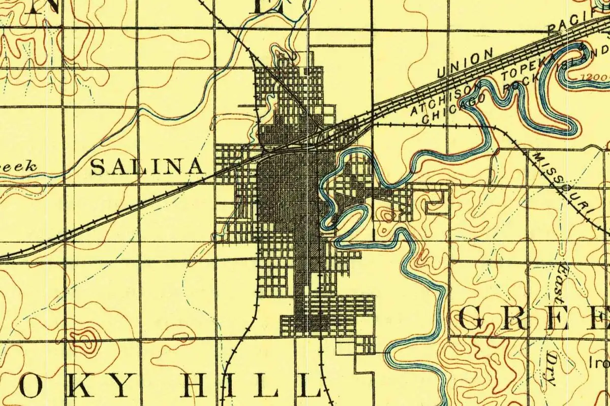
The Smoky Hill has a name story of its own, and the museum gives two versions. One says Native people noticed a blue-gray haze hanging among the sandstone bluffs and called the area the Smoky Hills. The other, which the museum introduces as “another legend,” says early travelers saw cottonwoods swaying along the riverbanks and thought it looked like smoke hovering in the air. The 1892 map at the top of this page shows the river curling in tight bends along the east side of town, with railroad lines labeled for four companies running into the grid. If you visit, it’s the Smoky Hill you’ll be looking at.
There’s a cousin out west: Salinas, California, also takes its name from salt. And there’s more Kansas on our Kansas page.
Quick answers
Why is Salina, Kansas, called Salina?
Because of the Saline River, most likely. Blackmar’s 1912 cyclopedia says the name Saline was given to the river, and later to the county, on account of the salt marshes, and the Smoky Hill Museum says the town’s name “is probably a variation of Saline.”
How do you pronounce Salina, Kansas?
Suh-li’-nah, according to the Smoky Hill Museum, which also gives Say-leen’ for Saline.
Who founded Salina, Kansas?
Col. William A. Phillips, in 1858. The museum says he came west from Lawrence that February with James Muir and Alexander M. Campbell Sr.
Is Salina on the Saline River?
No. Salina is on the Smoky Hill River. Blackmar says the Saline empties into the Smoky Hill a few miles below the city.
Key dates
- 1858Col. William A. Phillips, James Muir and Alexander M. Campbell pick a site on the Smoky Hill River in February and survey the town.
- 1859The territorial legislature charters the Salina town company.
- 1867The Union Pacific main line reaches Salina.
- 1870Salina becomes a city of the third class.
Things to do in Salina, Kansas
Smoky Hill Museum
The local history museum, housed since 1985 in an Art Deco federal post office dedicated in 1938, with the limestone figures "Land" and "Communication" carved in 1940 greeting visitors on the steps.
Stiefel Theatre
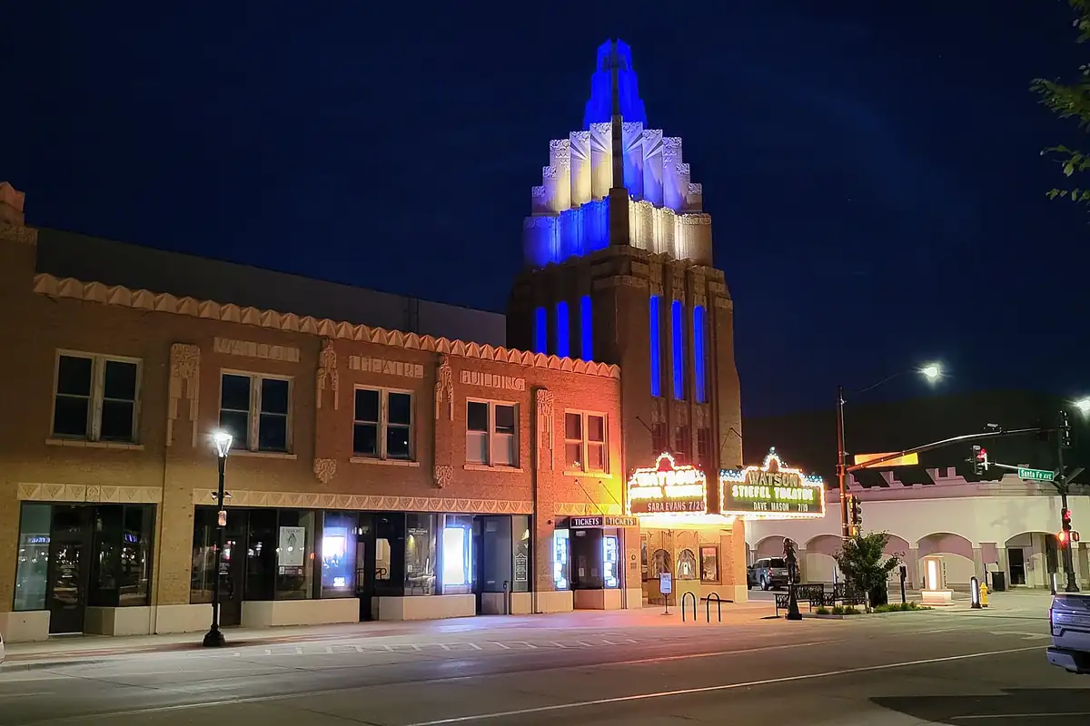
A movie palace that opened as the Fox-Watson Theatre on May 19, 1931, closed in 1987 and reopened as the Stiefel in 2003. Its original tower was rebuilt in 2021, and the Salina Symphony performs there.
Rolling Hills Zoo
A zoo accredited by the Association of Zoos & Aquariums, with more than 100 species and a Wildlife Museum that walks you through habitats from the African Plains to the Arctic Tundra.
Salina Art Center
An art center founded in 1978 and accredited by the American Alliance of Museums, with galleries, the Art Center Cinema and the Warehouse.
Getting there
Open Salina in Google Maps
Opens in a new tab. The pin is the center of Salina in the USGS place-name record.
The closest airports, Amtrak stations and intercity bus stops, measured in a straight line from the center of Salina.
Airports
- Salina Regional (SLN) 4 mi 7 km
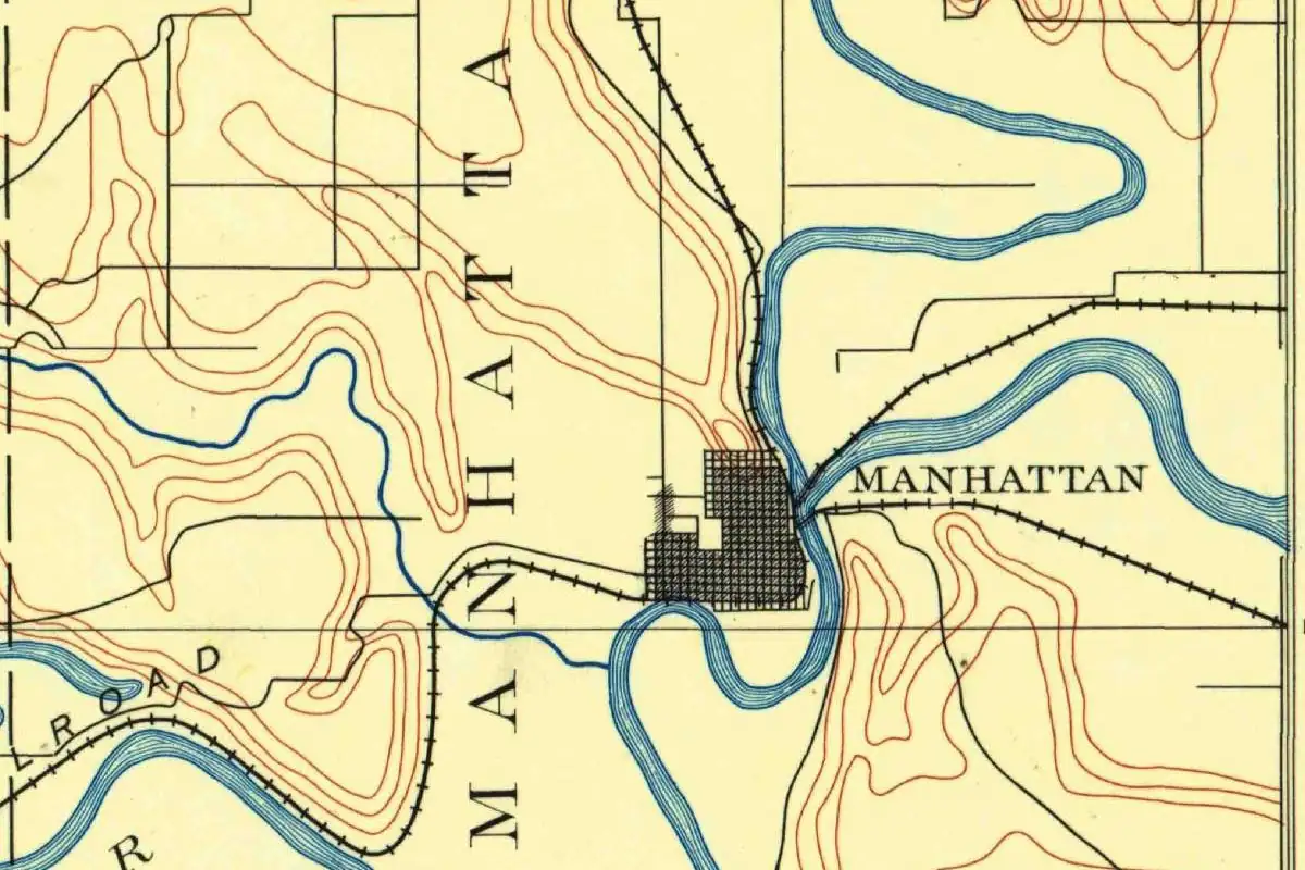
- Manhattan Regional (MHK) 55 mi 88 km
Amtrak trains
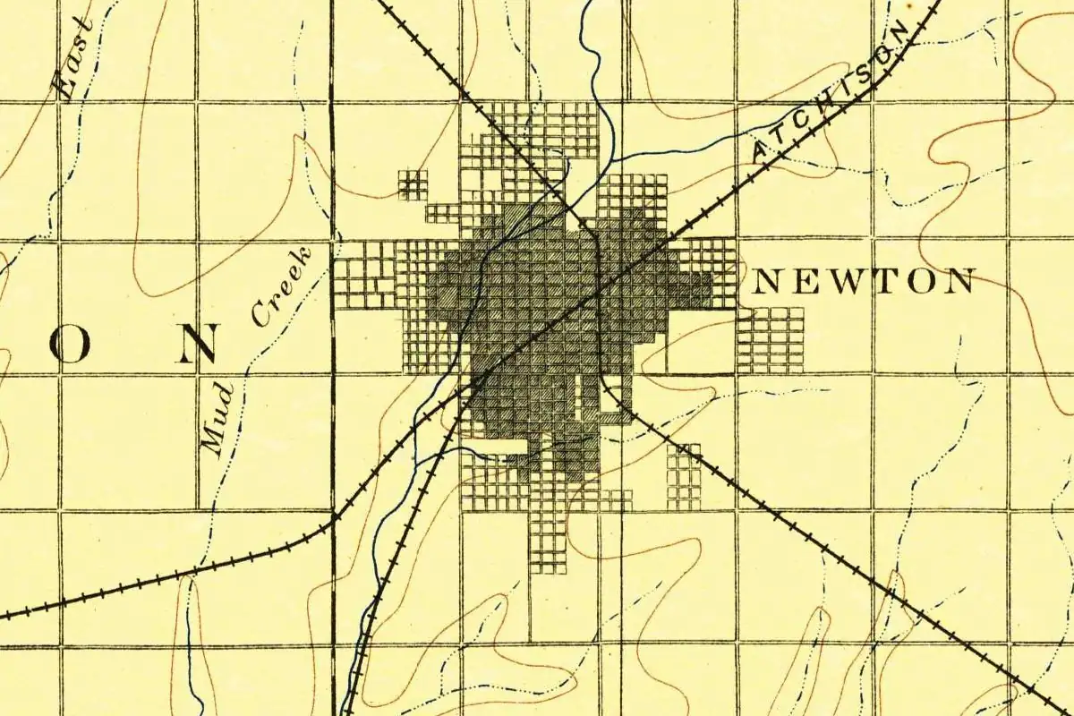
- Newton station (NEW) 57 mi 91 km
- Hutchinson station (HUT) 57 mi 92 km
Intercity buses
- BeeLine Express-Village Travel Salina 4 mi 6 km
- Greyhound Salina Super 8 4 mi 6 km
- Beeline Express Amtrak Connecting Service · Newton 57 mi 91 km
Distances are as the crow flies, not by road. We don't list schedules or fares because they change; check with the airline, Amtrak or the bus company before you go. Official data (FAA commercial service airports (2025), FAA airport locations, Amtrak stations and Intercity Bus Atlas) from the FAA and the U.S. Bureau of Transportation Statistics, checked Nov 14, 2026.
Sponsored
Staying in Salina?
Compare hotels in Salina, Kansas, on Expedia.
See hotels in SalinaWe may earn a commission if you buy through this link. It never changes what we write. Read our affiliate disclosure
Historical Sources & References
- Frank W. Blackmar, ed., Kansas: A Cyclopedia of State History, vol. 2 (1912), pp. 634-635. Salina “founded by Col. W. A. Phillips, in 1858”; the town company of 1859; the survey finished in 1862; the Union Pacific in 1867; the first merchants and their trade with the Indians; the Christmas fire of 1871 and the cattle trade; city of the third class in 1870; and, in the Saline County entry on p. 635, the quoted line on the salt marshes.
- Blackmar, Kansas: A Cyclopedia of State History, vol. 2 (1912), p. 639. The Saline River as “the principal tributary of the Smoky Hill river,” about 250 miles long, emptying into the Smoky Hill a few miles below Salina.
- Henry Gannett, The Origin of Certain Place Names in the United States, 2nd ed. (1905), p. 272. The Saline rivers and counties, including those of Kansas, named for salt springs or salt deposits.
- Smoky Hill Museum, “History FAQs”. The salt marshes and the river’s salt content; Salina “probably a variation of Saline”; the pronunciations; the founding trip of February 1858, the compass on Phillips’ “stove top hat,” Spilman and Crawford; the first streets, Santa Fe and Iron Avenue; the two explanations of the name Smoky Hills.
- Kansas Historical Society, Kansapedia, “Saline County, Kansas”. Saline County, organized around 1859 and named after the Saline River.
- GNIS feature 476808 (U.S. Geological Survey). The federal gazetteer entry for Salina, Saline County, with its coordinates.
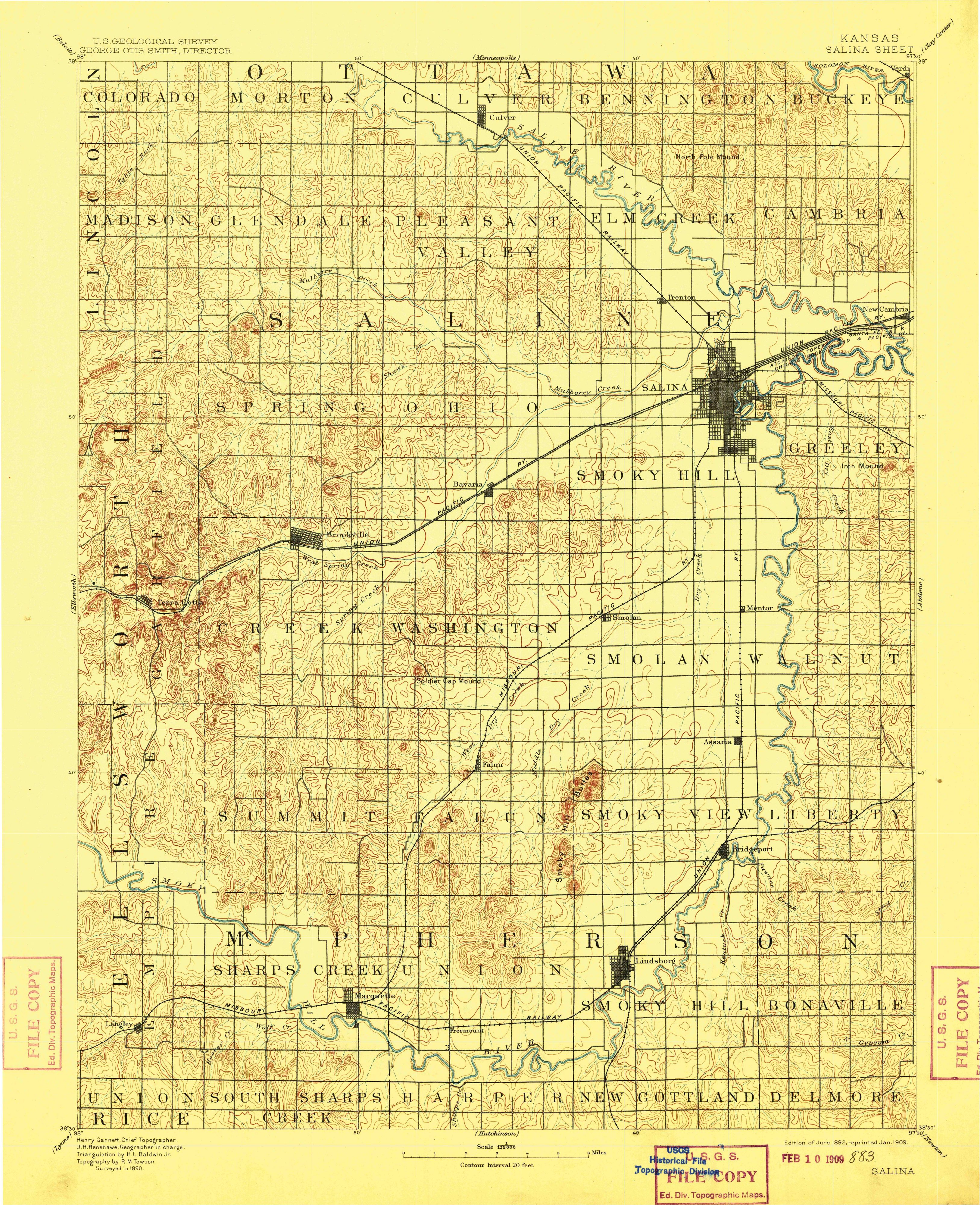
- U.S. Geological Survey, Salina sheet (1892). The 1:125,000 map that the image at the top of this page was cropped from.
Sponsored
Put this 1892 map on your wall
The 1892 USGS Salina sheet, in a 1909 reprint, is in the public domain. Download the full-size scan for free, then have it printed on canvas with CanvasOnTheCheap.
Print a map on canvasDownload the full-size mapWe may earn a commission if you buy through this link. It never changes what we write. Read our affiliate disclosure
Spot something wrong, or know more? Tell us here. You can also email us or use our contact page. Corrections are noted here with their date, never made silently.