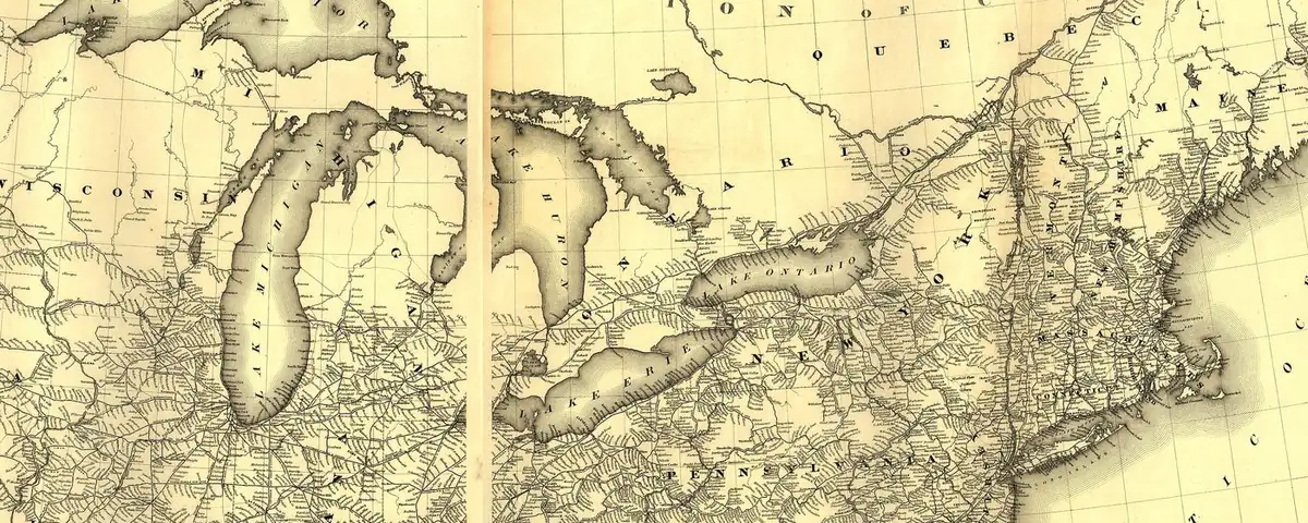
National Park Gateway Towns and the Stories in Their Names
Wall, South Dakota, is named for the Badlands Wall, the long ridge of eroded rock that the National Park Service calls the main feature of the North Unit of Badlands National Park. Take Exit 110 off I-90 at Wall, and the park’s Pinnacles Entrance is about 7 mi (11 km) south.
Most towns here aren’t tied to their park that closely. What they share is that the Park Service itself points you to each one when you’re working out how to get in: as the nearest town, a stop on the road, the home of a park office, or the place your flight, boat or shuttle leaves from.
The names mostly have nothing to do with the parks. Plenty honor people: an Indiana senator who’d later be vice president, a trail guide, a judge’s daughter, and Buffalo Bill, who in 1896 went out to scout a wagon road from Cody into Yellowstone. Others come from Native words, like Tucson, Yankton and Poughkeepsie, or from Spanish, like Santa Fe and Las Vegas. Some just describe what was there: a fast creek, warm springs, a waterfall. Carlsbad borrowed the name of a European spa, and Nome’s name may go back to a mapmaker’s question mark.
Each town links to the full story of its name, and each note links to the Park Service page that names it, so you can check it yourself.
How we picked these. An official National Park Service page for a park unit points visitors to the town as a way in: the nearest town, a stop on the road, the home of a park office, or where the flight, boat or shuttle leaves. Units that sit inside the town itself don't count. Each story below lists the source that confirms it.
 Anchorage Municipality, AK
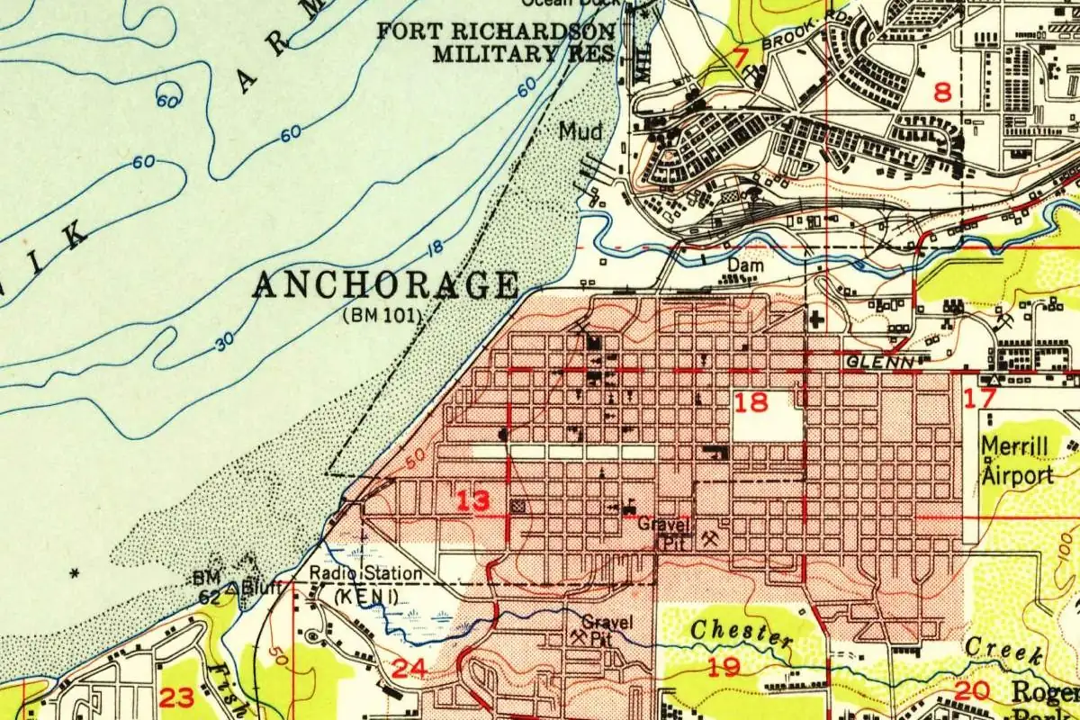
Anchorage, Alaska, is named for Knik Anchorage, the spot just offshore where ships anchored off the new railroad camp.
DisputedThe NPS says a common way into Katmai is a commercial flight from Anchorage to King Salmon, about 290 air mi (467 km) away. Source: Directions and Transportation - Katmai National Park & Preserve (U.S. National Park Service)
 Fairbanks North Star Borough, AK
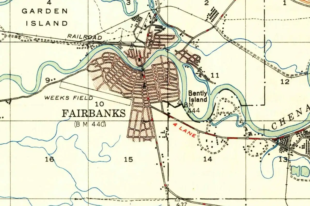
Fairbanks, Alaska, started out as Barnette's Cache, a trading post. In 1902 it took the name of an Indiana senator who'd later be vice president.
DocumentedGates of the Arctic has no roads, and the NPS says access to the park begins in Fairbanks, where small airlines fly to its gateway villages. Source: Directions - Gates Of The Arctic National Park & Preserve (U.S. National Park Service)
 Juneau City and Borough, AK
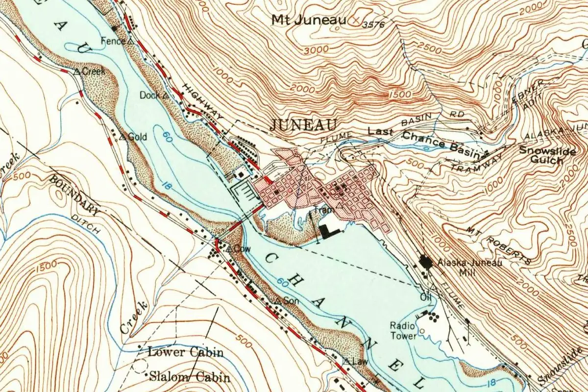
Juneau, Alaska's capital, started out as a mining camp called Harrisburg, and the Navy called it Rockwell. The miners settled it by voting for Juneau.
DocumentedYou can only reach Glacier Bay by plane or boat, and the NPS points you to flights from Juneau to Gustavus, where the park road starts. Source: Directions - Glacier Bay National Park & Preserve (U.S. National Park Service)
 Nome Census Area, AK
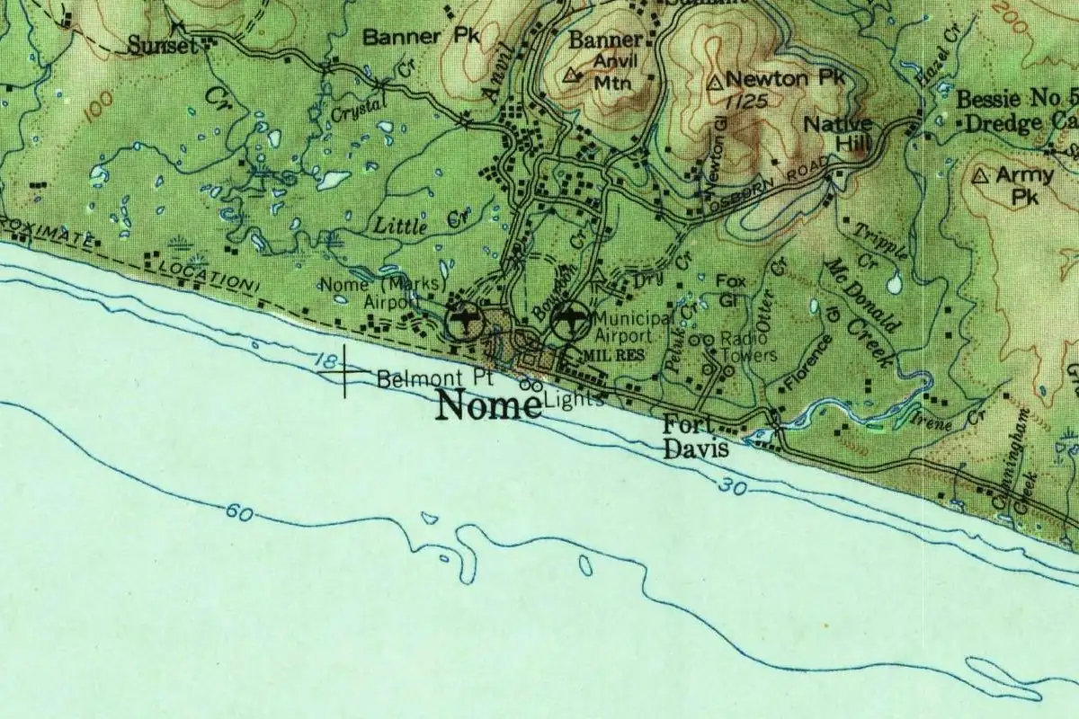
A mapmaker's question mark may be the reason Nome, Alaska, is called Nome.
DisputedBering Land Bridge National Preserve has its headquarters and visitor center in Nome, about 100 mi (160 km) from the preserve. Source: Directions - Bering Land Bridge National Preserve (U.S. National Park Service)
 Hawaii County, HI
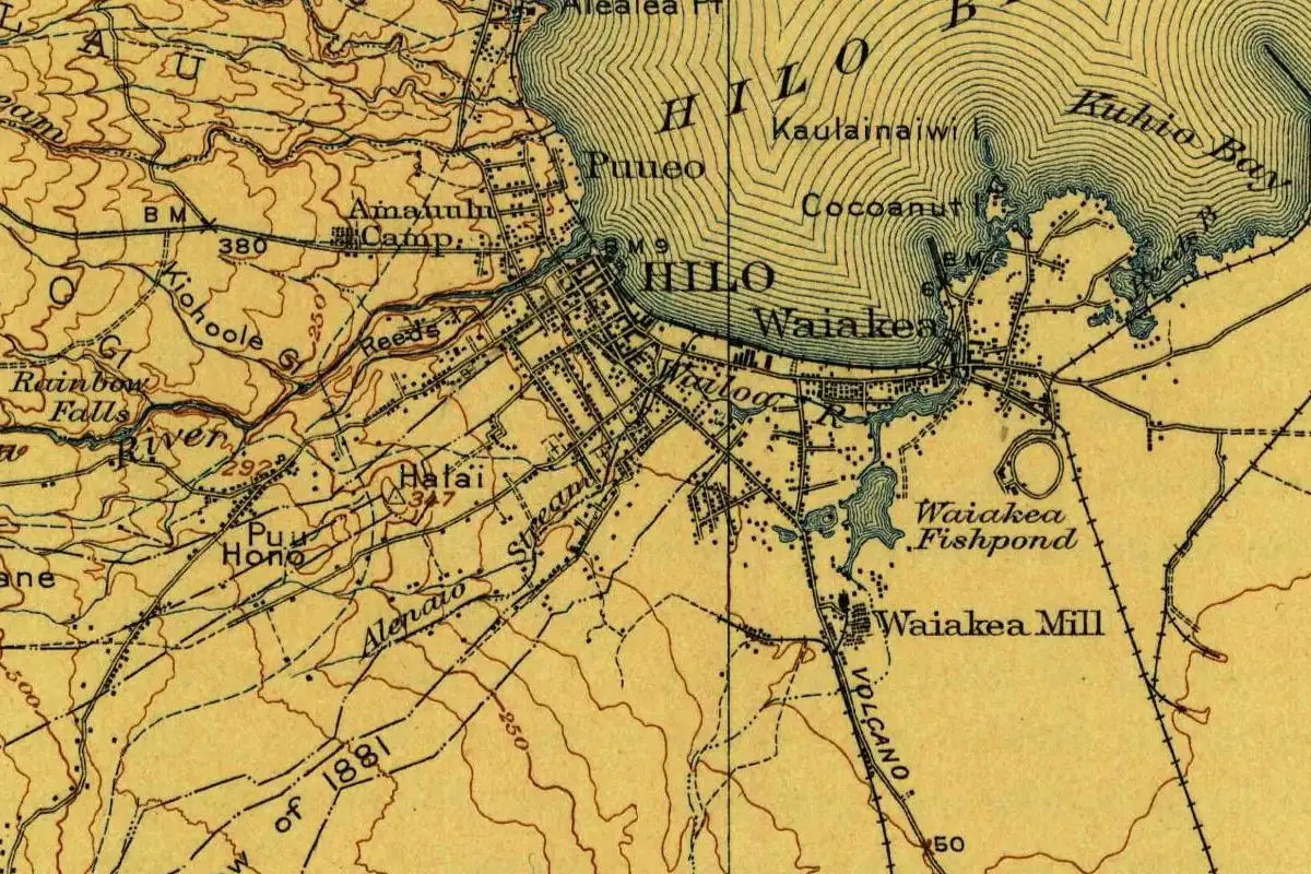
Hilo, Hawaii, carries the name of an ancient Polynesian navigator, according to the place-name lists of 1903 and 1922, and neither list says who he was.
DocumentedThe NPS puts Hawaiʻi Volcanoes National Park 30 mi (48 km) southwest of Hilo on Highway 11. Source: Directions - Hawaiʻi Volcanoes National Park (U.S. National Park Service)
 Tulare County, CA
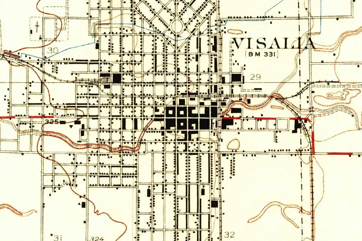
Visalia, California, carries the name of Nat Vise, a hunter who settled there in 1852. Where the "-alia" came from is still unsettled.
DocumentedThe NPS names the Visalia Transit Center as the place to connect with park shuttle routes into Sequoia National Park. Source: Directions & Transportation - Sequoia & Kings Canyon National Parks (U.S. National Park Service)
 Klamath County, OR
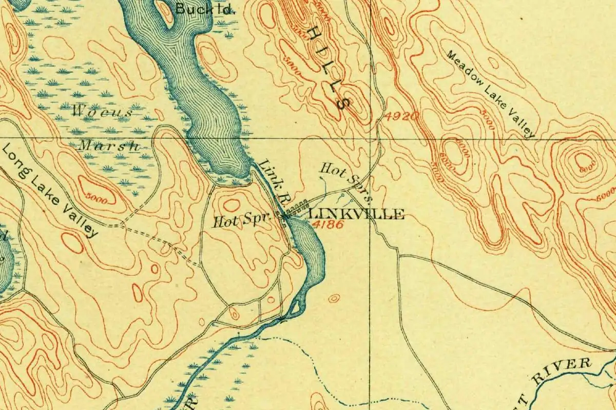
Klamath Falls, Oregon, was Linkville for 25 years, until a county surveyor argued in 1891 that a town by a waterfall should have the falls in its name.
DocumentedComing from the south, the NPS sends you from Klamath Falls up Highway 97 and Highway 62 to Crater Lake's South Entrance. Source: Directions - Crater Lake National Park (U.S. National Park Service)
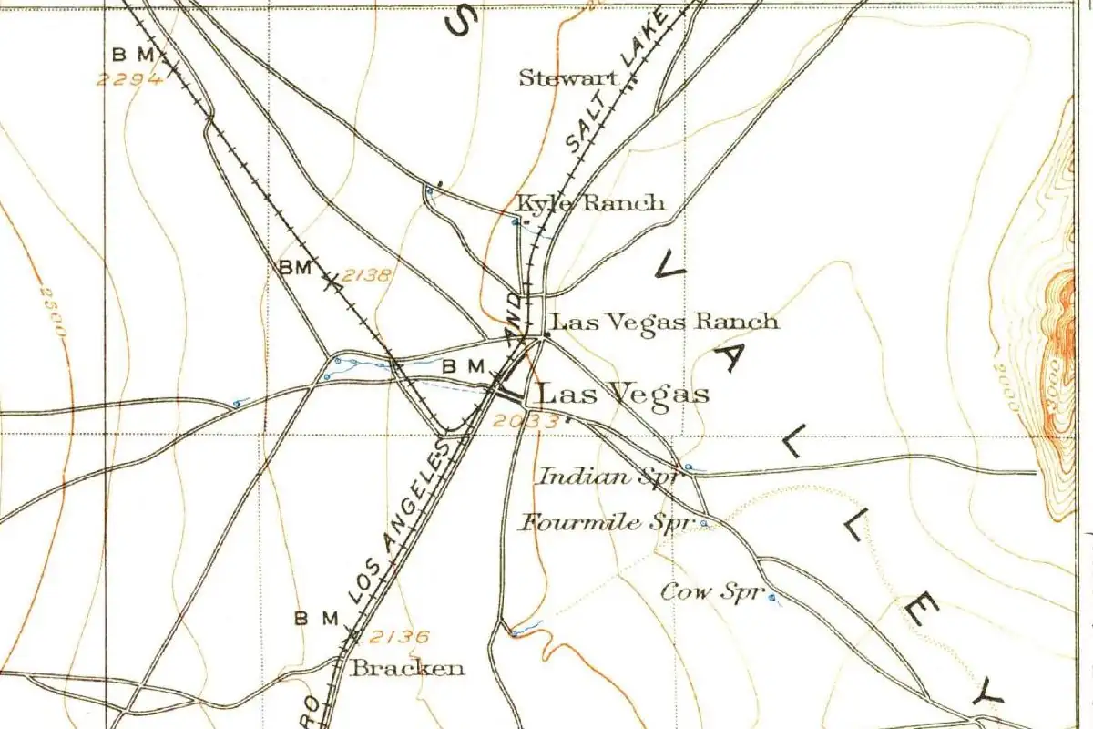 Clark County, NV
Everyone agrees the name of Las Vegas, Nevada, is Spanish for the meadows around its springs. Who first called it that is another matter.
DisputedThe NPS calls Las Vegas close by and puts the city's main airport about 25 mi (40 km) from Lake Mead National Recreation Area. Source: Directions & Transportation - Lake Mead National Recreation Area (U.S. National Park Service)
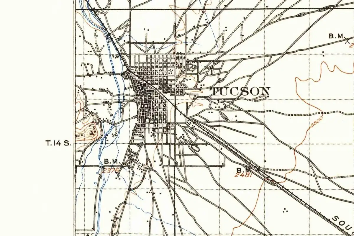 Pima County, AZ
Tucson, Arizona, took its name from an O'odham village on the Santa Cruz River. Old books translate it as black creek, dark spring, or black base.
DocumentedSaguaro National Park comes in two districts with Tucson in between: Rincon Mountain to the east and Tucson Mountain to the west. Source: Directions and Transportation - Saguaro National Park (U.S. National Park Service)
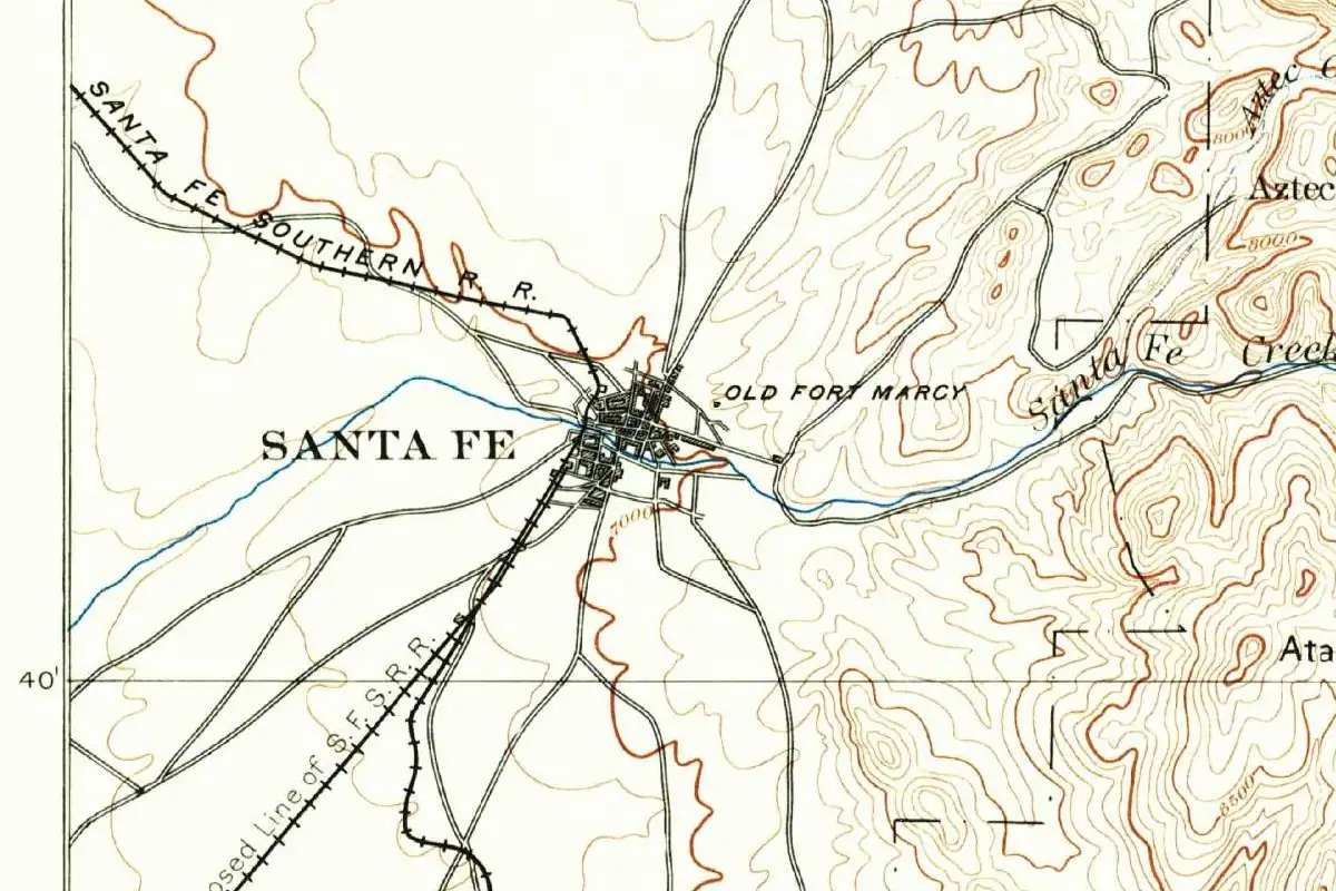 Santa Fe County, NM
Santa Fe means holy faith, and New Mexico's capital has carried that name for over 400 years, but even its first historians couldn't find the day it began.
DocumentedPecos National Historical Park is 25 mi (40 km) east of Santa Fe, the NPS says, off Interstate 25. Source: Directions - Pecos National Historical Park (U.S. National Park Service)
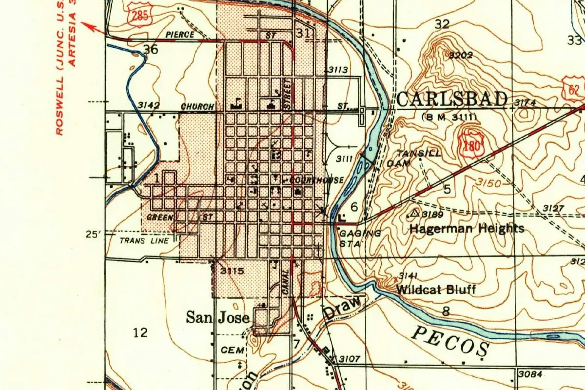 Eddy County, NM
Carlsbad, New Mexico, began as Eddy, until a retired Chicago cigar man named some local springs after a European spa and talked the town into following.
DocumentedCarlsbad Caverns' only entrance road starts at White's City, 20 mi (32 km) southwest of Carlsbad, the NPS says. Source: Directions - Carlsbad Caverns National Park (U.S. National Park Service)
 Gallatin County, MT
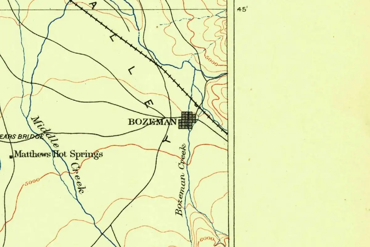
Bozeman, Montana, is named for John M. Bozeman, the trail guide who in 1864 urged two farmers to start a town there and stake a claim for him.
DocumentedThe NPS lists bus service from Bozeman to West Yellowstone, plus commercial rides from Bozeman to Gardiner. Source: Directions & Transportation - Yellowstone National Park (U.S. National Park Service)
 Park County, MT
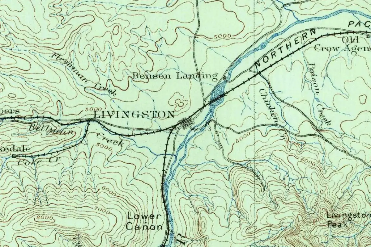
Livingston, Montana, started out in 1882 as Clark City, and its people didn't know the railroad had already put another name on its maps.
DocumentedYellowstone's own list of nearby cities puts Livingston within 50 mi (80 km) of the park. Source: Nearby Attractions - Yellowstone National Park (U.S. National Park Service)
 Park County, WY
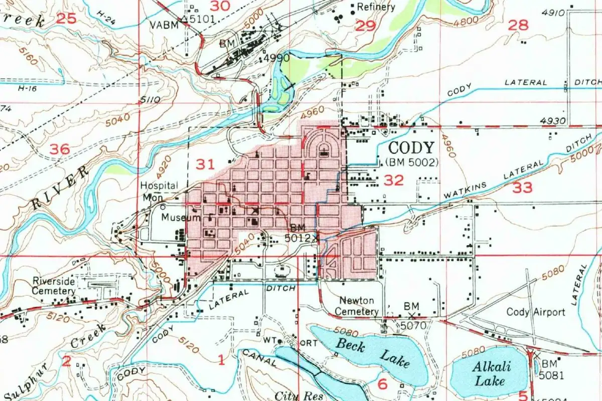
Buffalo Bill didn't name Cody, Wyoming, after himself, at least by his own telling. His friends, he wrote, "insisted upon naming it Cody."
DocumentedCody is on Yellowstone's list of cities within 50 mi (80 km) of the park, with Livingston and Jackson. Source: Nearby Attractions - Yellowstone National Park (U.S. National Park Service)
 Pennington County, SD
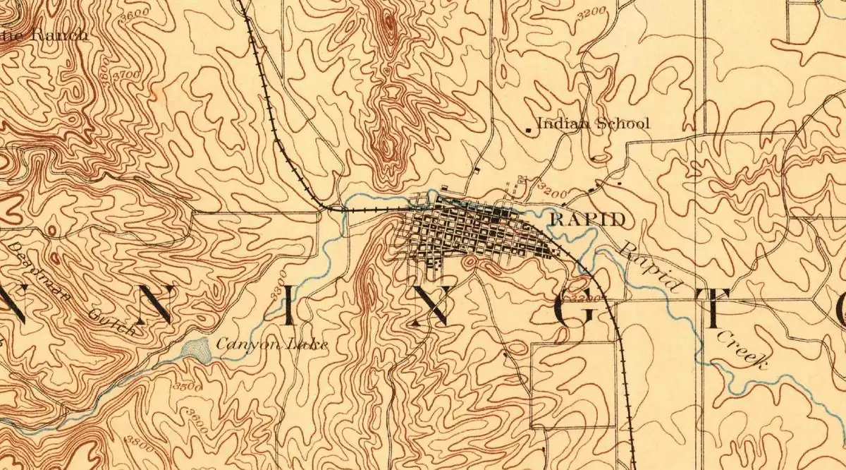
Rapid City, South Dakota, is named after Rapid Creek, the fast, spring-fed stream that runs through town.
DocumentedMount Rushmore's directions send I-90 drivers off at Rapid City, and the NPS says tour companies bring visitors from there. Source: Directions and Transportation - Mount Rushmore National Memorial (U.S. National Park Service)
 Pennington County, SD
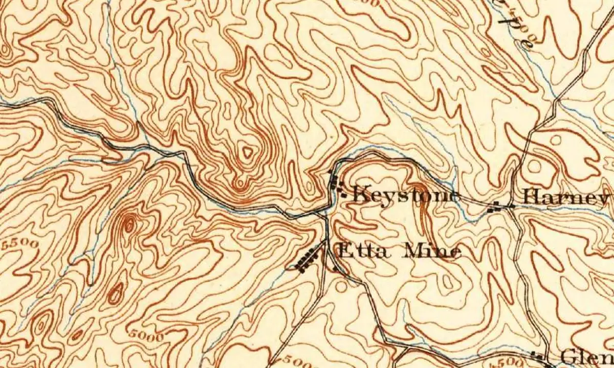
Keystone, South Dakota, is named for the Keystone Mine, a gold mine staked nearby in 1891, and the mine's name most likely came from a Masonic emblem.
DocumentedThe NPS route to Mount Rushmore follows U.S. 16 to Keystone, then South Dakota 244 to the memorial. Source: Directions and Transportation - Mount Rushmore National Memorial (U.S. National Park Service)
 Custer County, SD
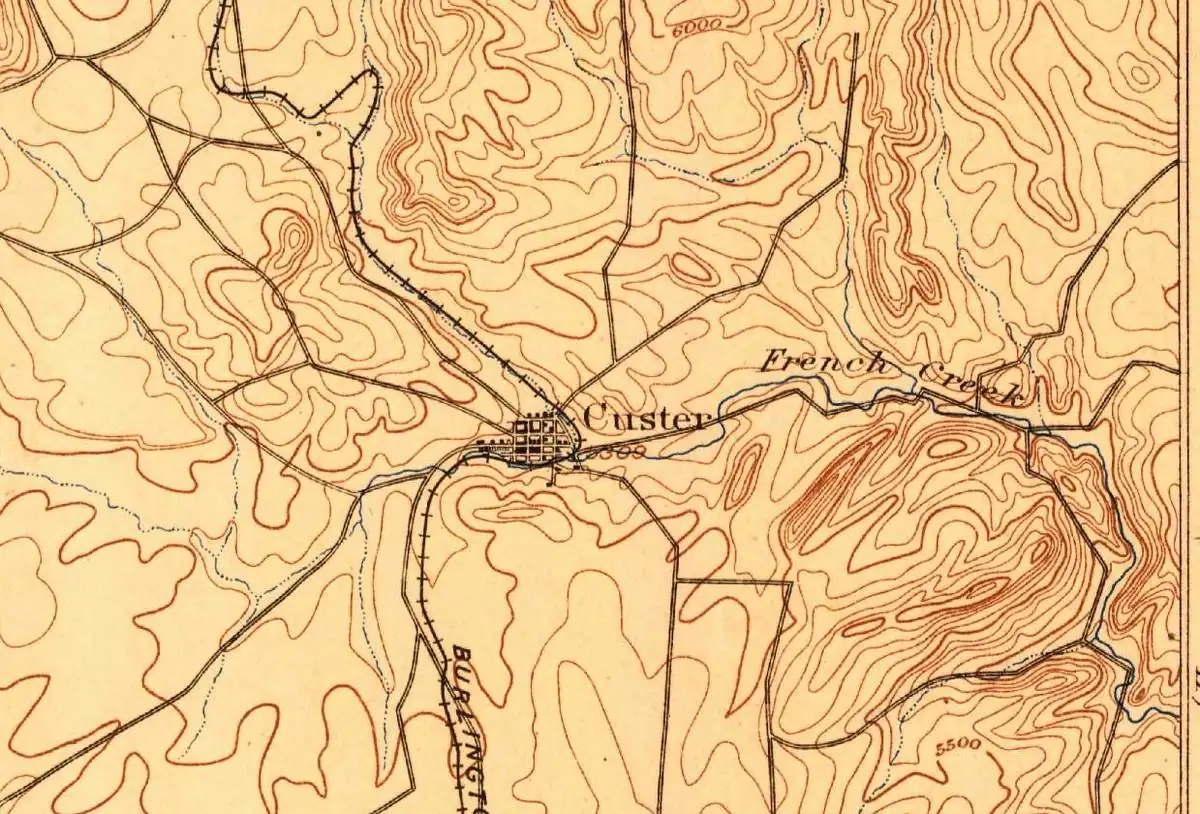
Custer, South Dakota, is named for George Armstrong Custer, whose 1874 expedition found gold nearby.
DocumentedJewel Cave National Monument is about 13 mi (21 km) west of Custer along Highway 16, the NPS says. Source: Directions & Transportation - Jewel Cave National Monument (U.S. National Park Service)
 Fall River County, SD
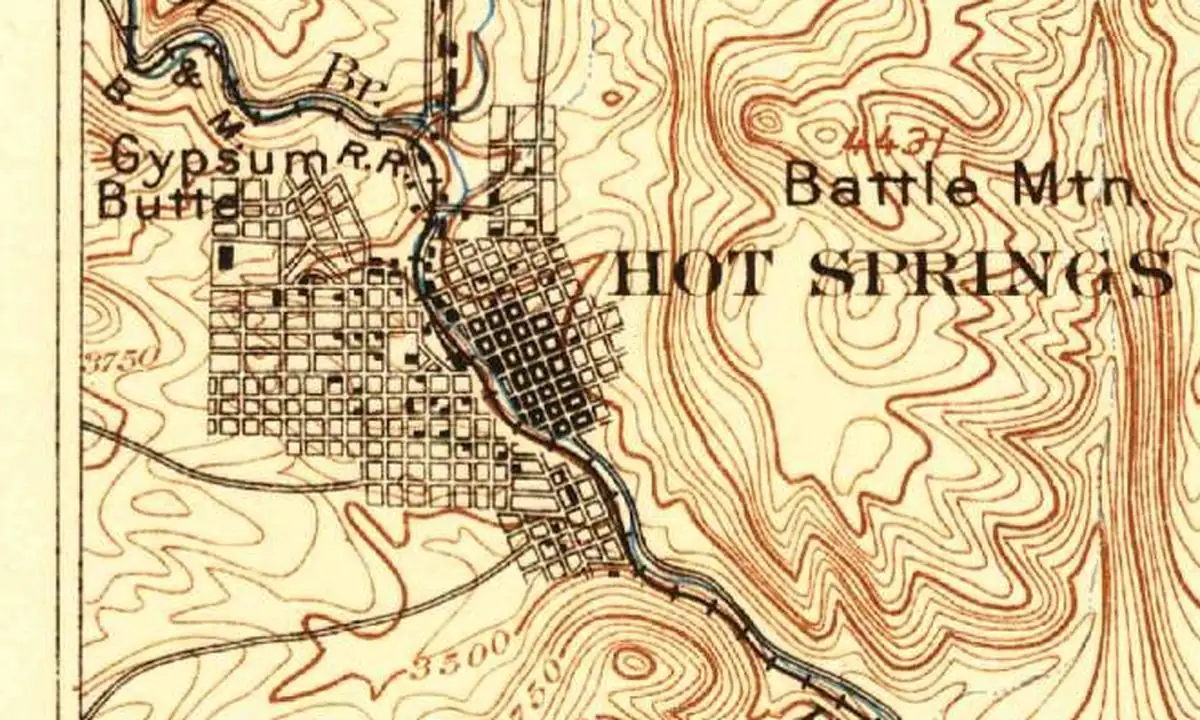
Hot Springs, South Dakota, is named for the warm springs in town, and its first name, Minnekahta, came from the Lakota name for the same water.
DocumentedWind Cave National Park's visitor center is 11 mi (18 km) north of Hot Springs, off U.S. 385. Source: Directions - Wind Cave National Park (U.S. National Park Service)
 Pennington County, SD
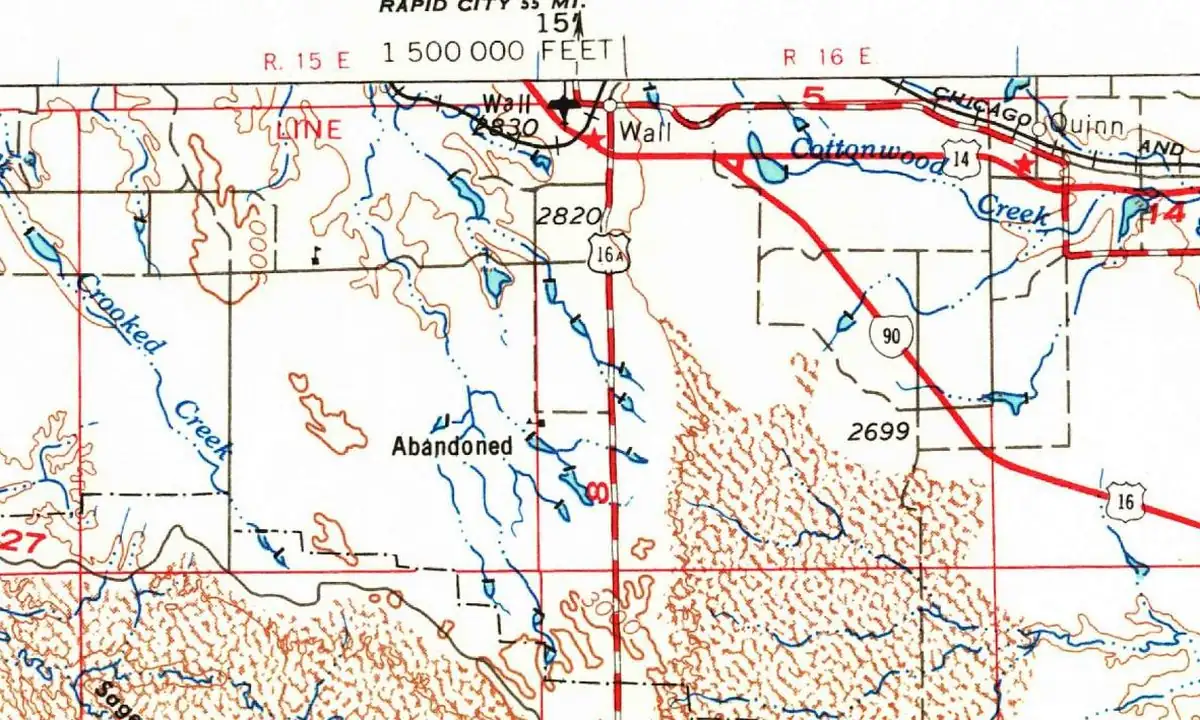
Wall, South Dakota, is named for a natural wall of rock nearby, the long ridge of eroded cliffs that's known today as the Badlands Wall.
DocumentedEastbound on I-90, you take Exit 110 at Wall and drive about 7 mi (11 km) south to the Badlands' Pinnacles Entrance. Source: Directions - Badlands National Park (U.S. National Park Service)
 Yankton County, SD
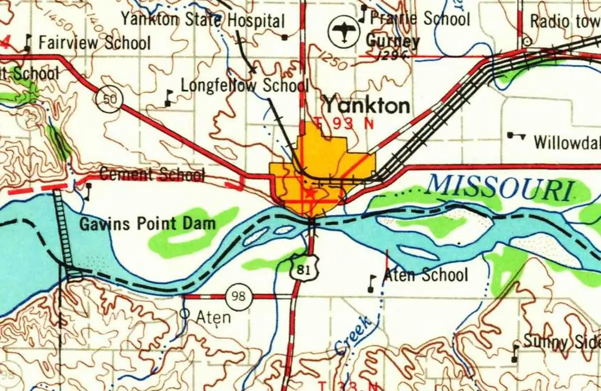
Yankton, South Dakota, is named for the Yankton people, the Ihanktonwan, whose name in their own language is usually translated as "End Village."
DocumentedThe Missouri National Recreational River has its headquarters in Yankton, and the NPS route to its visitor center starts there. Source: Directions - Missouri National Recreational River (U.S. National Park Service)
 Cherry County, NE
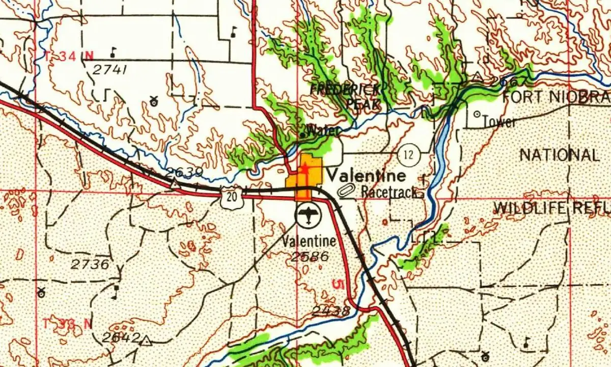
Valentine, Nebraska, honors Edward K. Valentine, the area's congressman. It has nothing to do with Valentine's Day, though the town has fun with that.
DocumentedThe protected stretch of the Niobrara National Scenic River begins near Valentine, and its visitor center is in town. Source: Basic Information - Niobrara National Scenic River (U.S. National Park Service)
 Scotts Bluff County, NE
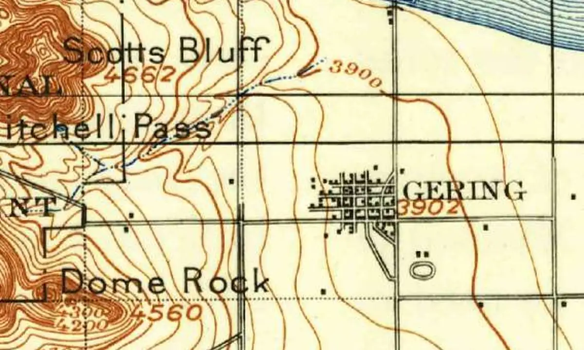
Gering, Nebraska, is named for Martin Gering, a Civil War veteran who opened the town's first store in 1887. A 1940 directory says Vendome came first.
DocumentedScotts Bluff National Monument is 3 mi (5 km) west of Gering, and the NPS routes drivers through town to reach it. Source: Directions and Transportation - Scotts Bluff National Monument (U.S. National Park Service)
 Gage County, NE
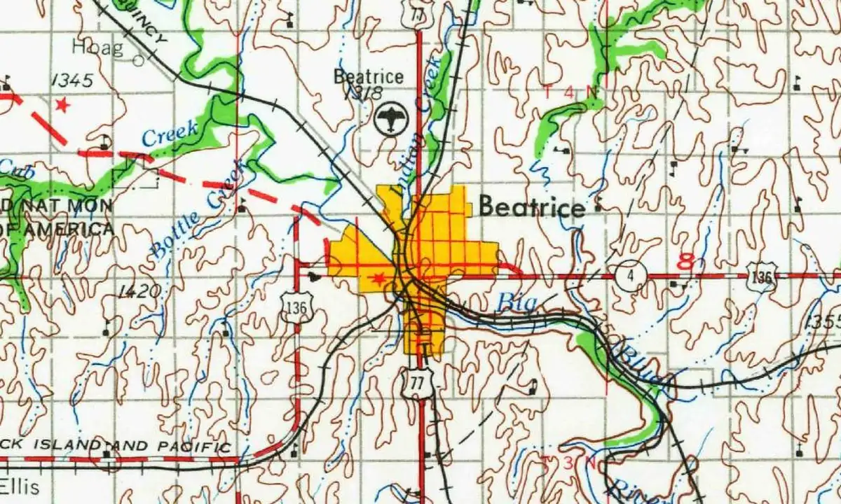
Beatrice, Nebraska, is named for Julia Beatrice Kinney, daughter of a judge who helped found the town in 1857. Locals say bee-AT-riss, as she did.
DocumentedHomestead National Historical Park has a Beatrice address, and the NPS says the town is 4 mi (6 km) away. Source: Directions & Transportation - Homestead National Historical Park (U.S. National Park Service)
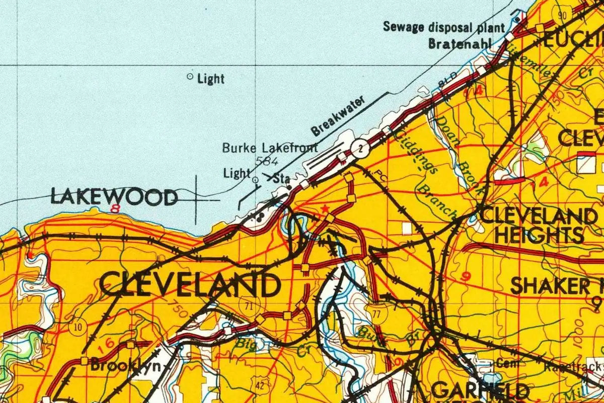 Cuyahoga County, OH
Cleveland, Ohio, is missing a letter: the surveyor it's named for, Moses Cleaveland, spelled his name with an a.
DocumentedThe NPS calls Cuyahoga Valley National Park a short distance from Cleveland, about 22 mi (35 km) by road. Source: Directions - Cuyahoga Valley National Park (U.S. National Park Service)
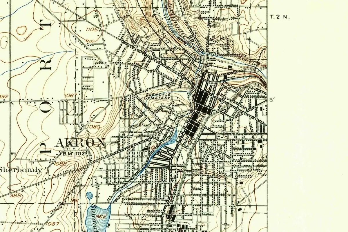 Summit County, OH
General Simon Perkins wanted a name for his new canal town that a punning neighbor couldn't joke about, and Akron, Ohio, got a Greek word for high.
DocumentedCuyahoga Valley National Park is a short distance from Akron too, about 18 mi (29 km) by road, the NPS says. Source: Directions - Cuyahoga Valley National Park (U.S. National Park Service)
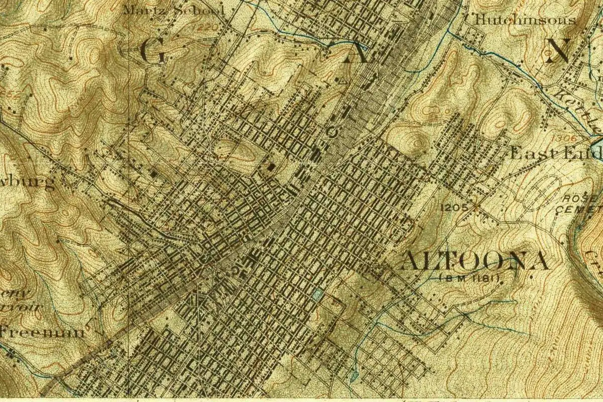 Blair County, PA
The name Altoona, Pennsylvania, has three rival explanations: a Latin word for high, a German city on the Elbe and a word from Cherokee country in Georgia.
DisputedAllegheny Portage Railroad National Historic Site is about 12 mi (19 km) west of Altoona, and Amtrak stops in Altoona. Source: Directions - Allegheny Portage Railroad National Historic Site (U.S. National Park Service)
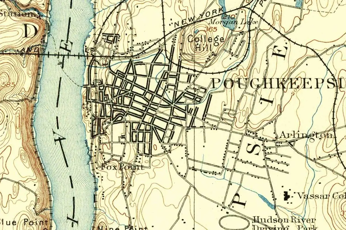 Dutchess County, NY
Poughkeepsie, New York, has been said to mean "safe harbor" since at least 1824, but the oldest records of the name don't fit that meaning very well.
DocumentedThe Home of Franklin D. Roosevelt in Hyde Park is about 5 mi (8 km) north of Poughkeepsie on Route 9, the NPS says. Source: Directions & Transportation - Home Of Franklin D Roosevelt National Historic Site (U.S. National Park Service)
 Washington County, MD
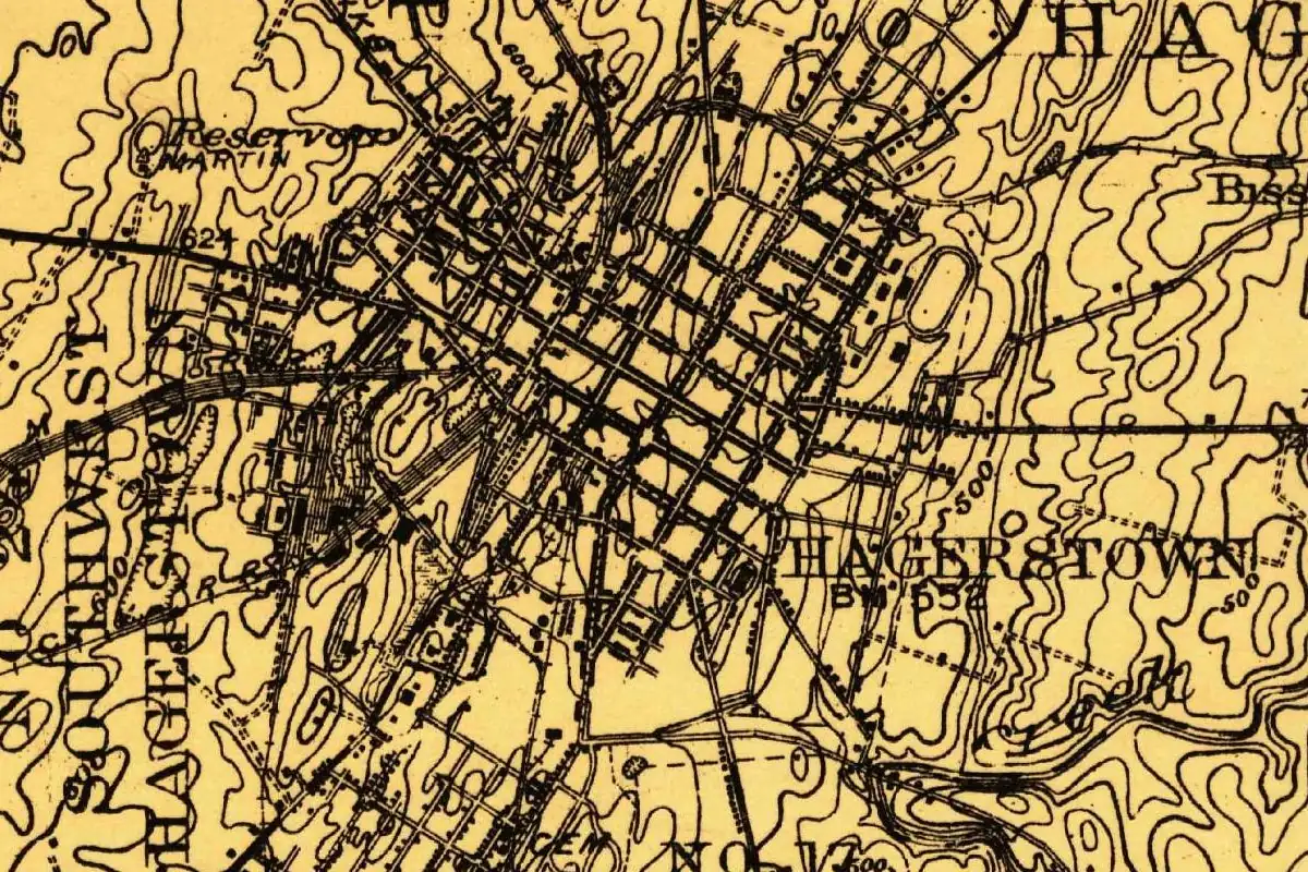
For more than 50 years, Hagerstown, Maryland, was officially Elizabeth Town, named by Jonathan Hager for his wife. People called it after him anyway.
DocumentedThe NPS lists Hagerstown as 10 mi (16 km) from Antietam National Battlefield. Source: Directions - Antietam National Battlefield (U.S. National Park Service)
 Independent city, VA
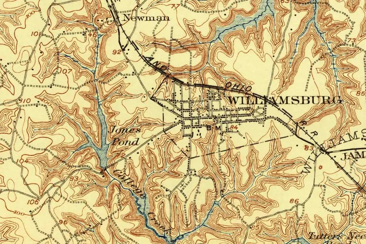
Williamsburg, Virginia, spent over 60 years as Middle Plantation, until the capital moved there from Jamestown and the town was renamed for King William.
DocumentedFrom Williamsburg, the NPS says, the Colonial Parkway runs 14 mi (23 km) to the Yorktown Battlefield Visitor Center. Source: Directions - Colonial National Historical Park (U.S. National Park Service)
 Independent city, VA
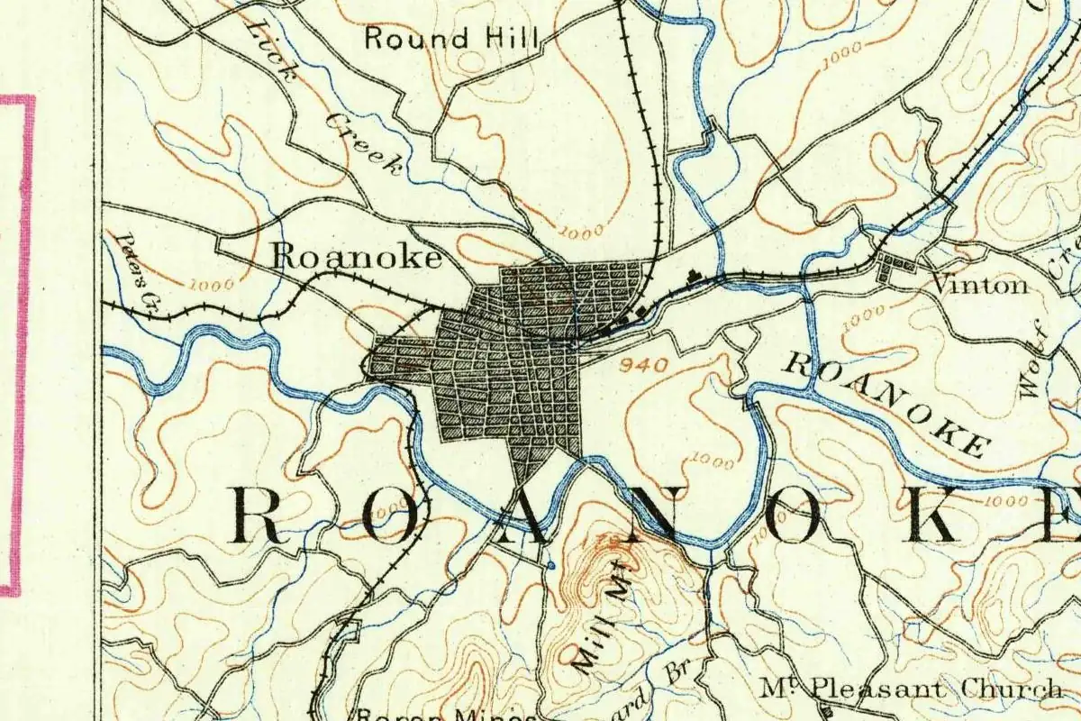
Until 1882, Roanoke, Virginia, was Big Lick, named for a salt lick. When two railroads met there, the town took the name of its river and county.
DocumentedThe NPS names Roanoke, with Asheville and Boone, as the largest cities along the Blue Ridge Parkway. Source: Directions - Blue Ridge Parkway (U.S. National Park Service)
 Hardin County, KY
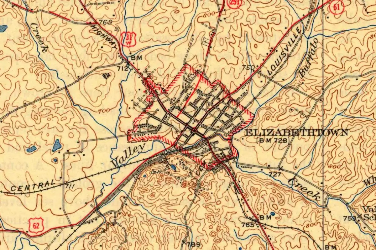
Ask which Elizabeth gave Elizabethtown, Kentucky, its name, and the answer depends on which old book you open.
DisputedComing from the north on I-65, the NPS has you exit at Elizabethtown for the Abraham Lincoln Birthplace in Hodgenville. Source: Directions - Abraham Lincoln Birthplace National Historical Park (U.S. National Park Service)
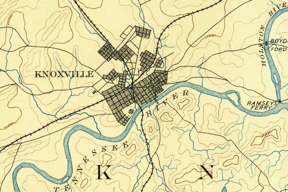 Knox County, TN
Tennessee's first newspaper was called The Knoxville Gazette, but its first issues came off a press in Rogersville, before Knoxville was laid out.
DocumentedThe NPS route to the Smokies' Townsend entrance starts on I-40 in Knoxville, and it names Knoxville as a city with rides to the park. Source: Directions - Great Smoky Mountains National Park (U.S. National Park Service)
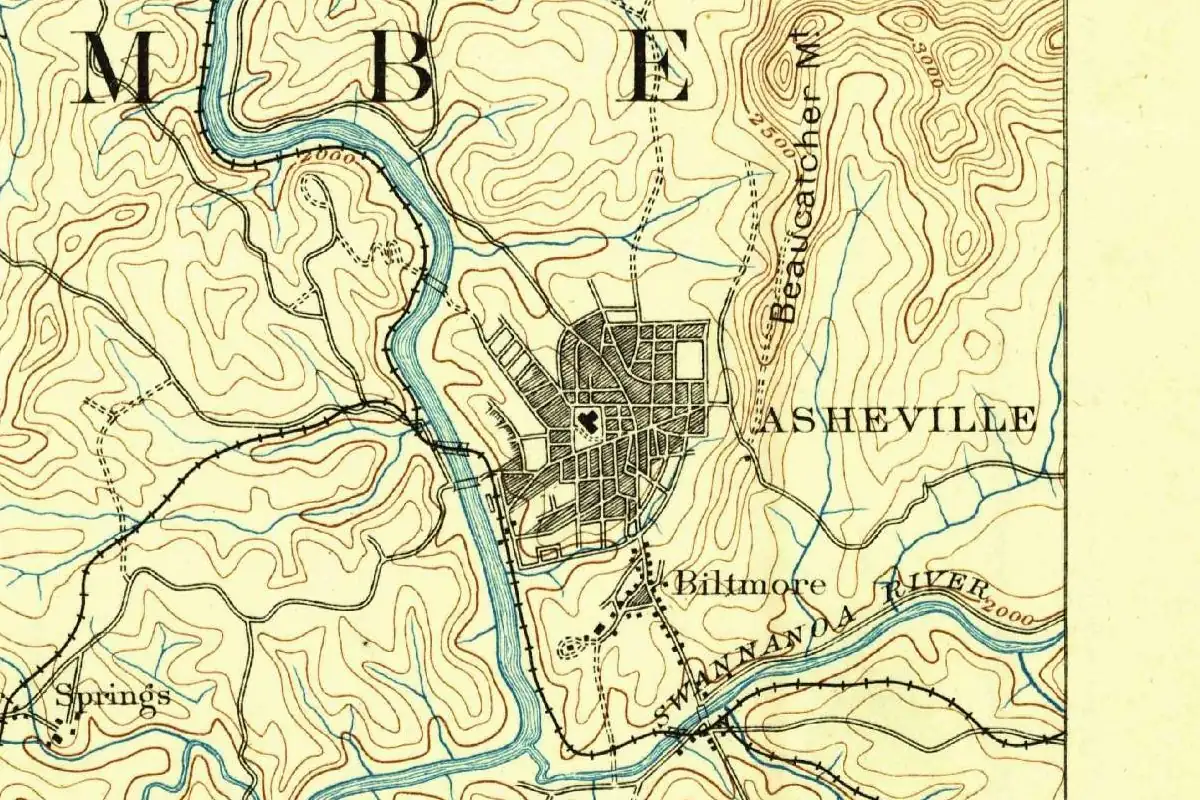 Buncombe County, NC
Asheville, North Carolina, was still legally Morristown in 1795 when the clerk began writing Asheville in the minutes, caught himself and changed it back.
DocumentedThe NPS lists Asheville among the largest cities along the Blue Ridge Parkway, and the parkway's mailing address is in Asheville. Source: Directions - Blue Ridge Parkway (U.S. National Park Service)
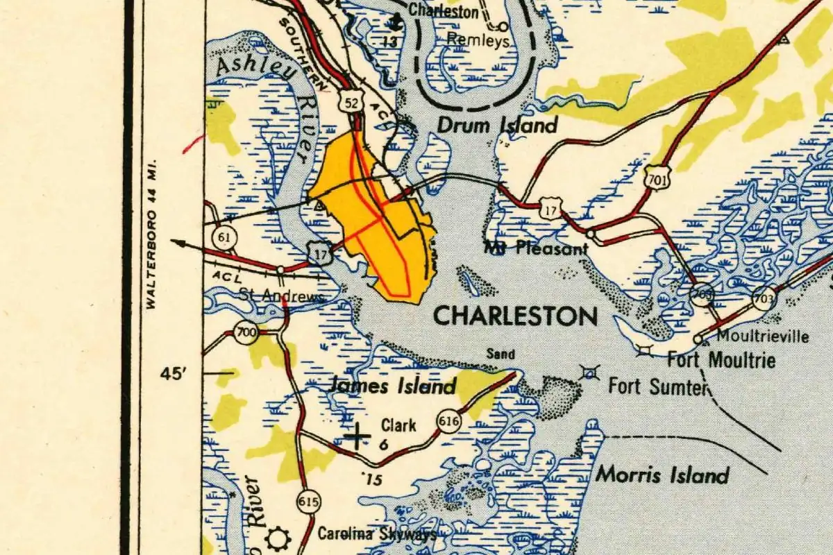 Charleston County, SC
For more than a century, Charleston, South Carolina, was called Charles Town, after King Charles II of England.
DocumentedFerries to Fort Sumter leave from the Fort Sumter Visitor Center in downtown Charleston, the NPS says, and from Mount Pleasant. Source: Directions - Fort Sumter and Fort Moultrie National Historical Park (U.S. National Park Service)
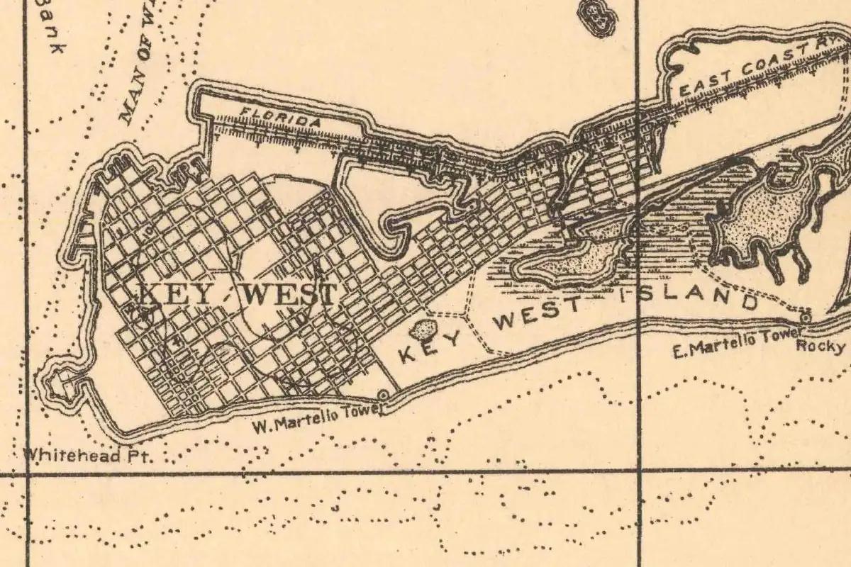 Monroe County, FL
Key West, Florida, may owe its name to a Spanish word for bones, or just to its spot at the west end of the keys. A 1912 history says no record settles it.
DisputedDry Tortugas National Park is about 70 mi (113 km) west of Key West, and you can only get there by boat or seaplane. Source: Directions - Dry Tortugas National Park (U.S. National Park Service)
Sources for this page
- Badlands Wall (U.S. National Park Service) (accessed Oct 31, 2026)
- Directions - Badlands National Park (U.S. National Park Service) (accessed Oct 31, 2026)